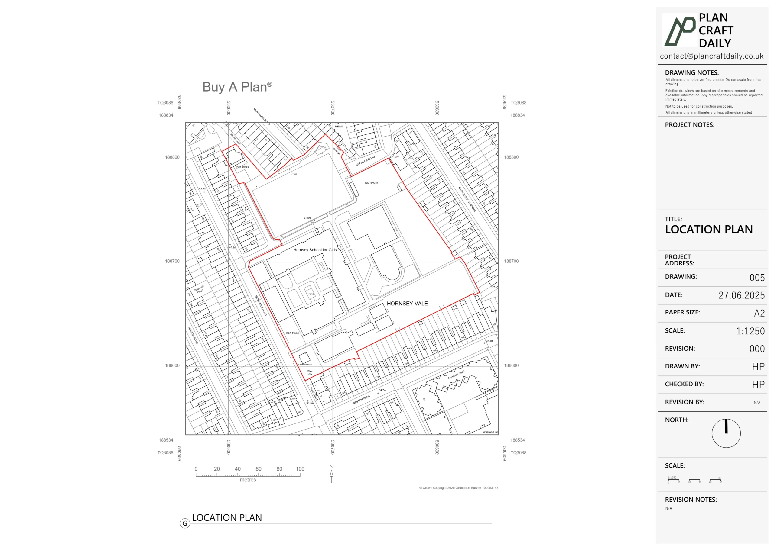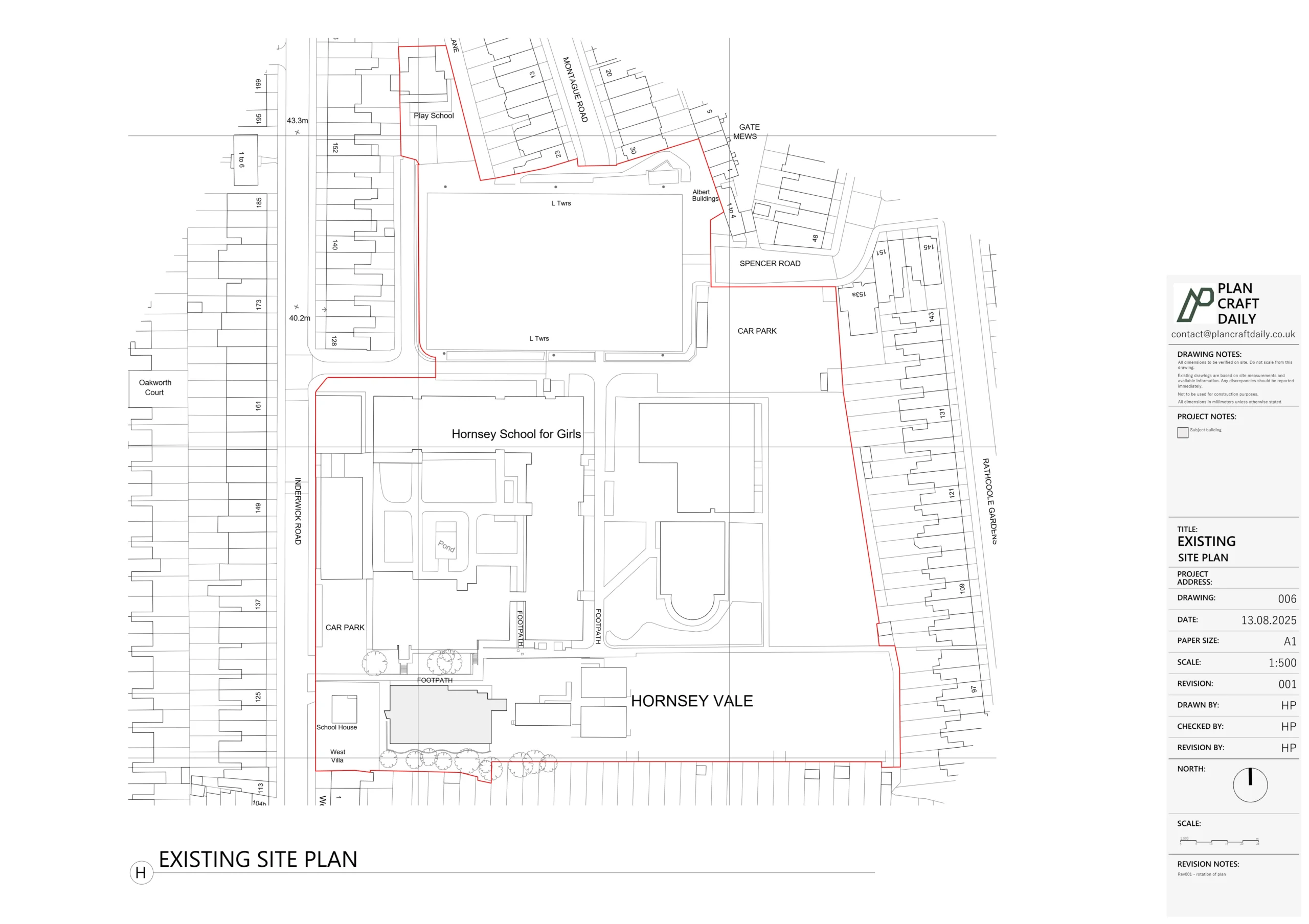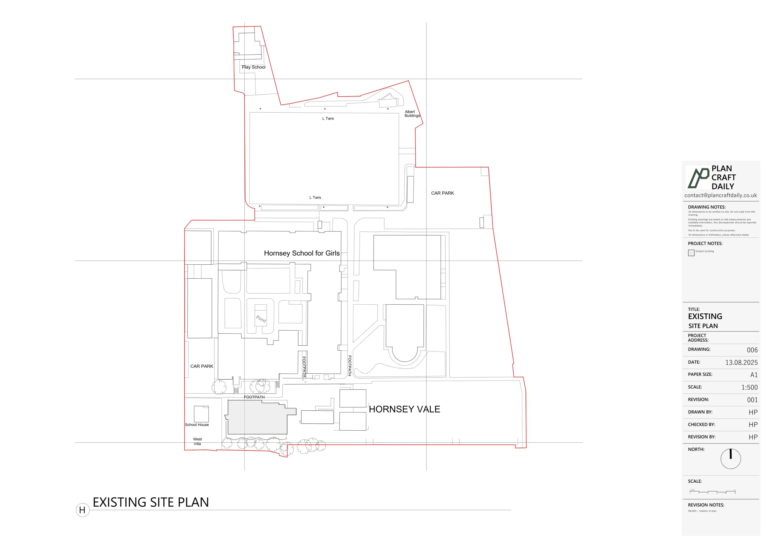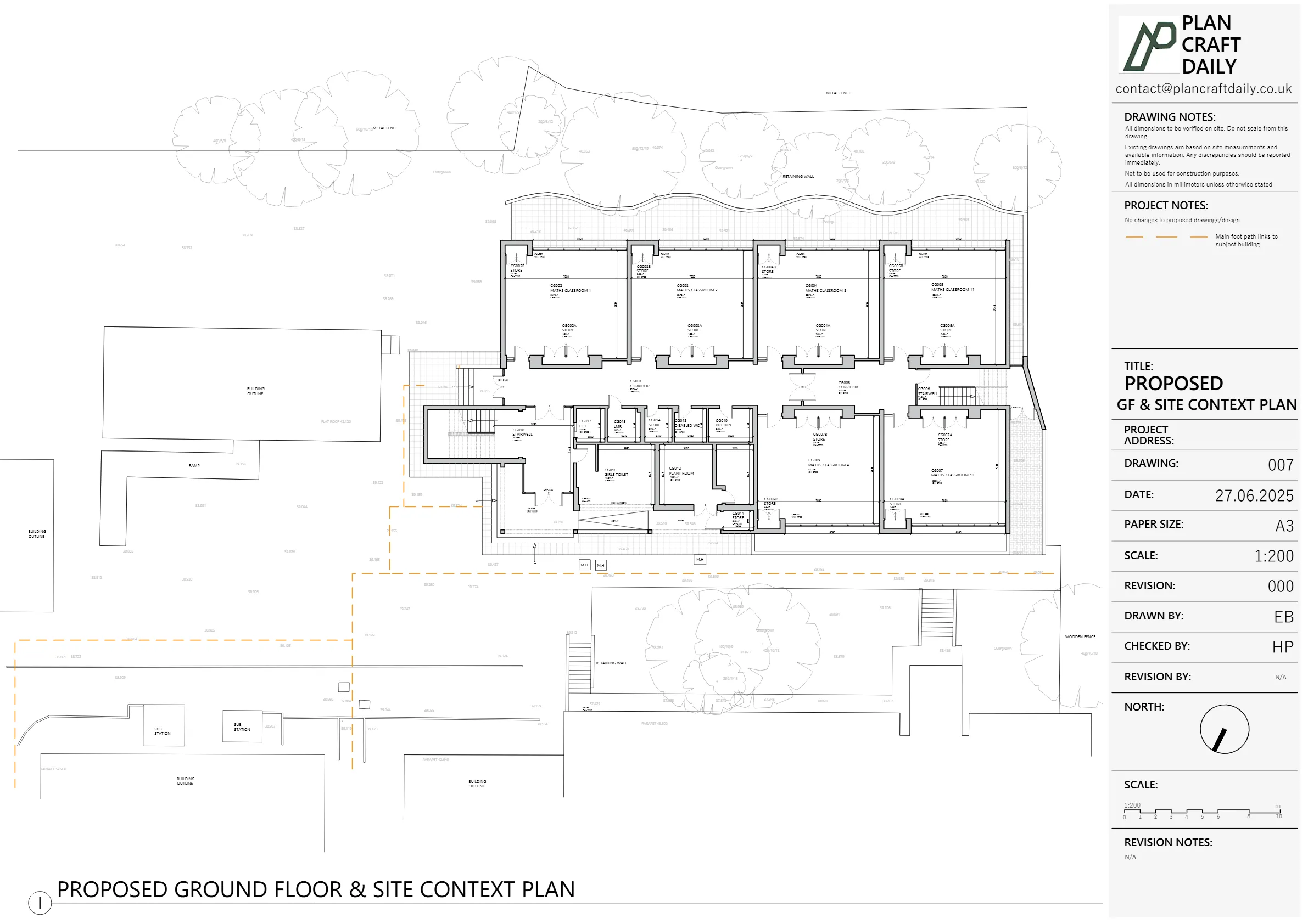
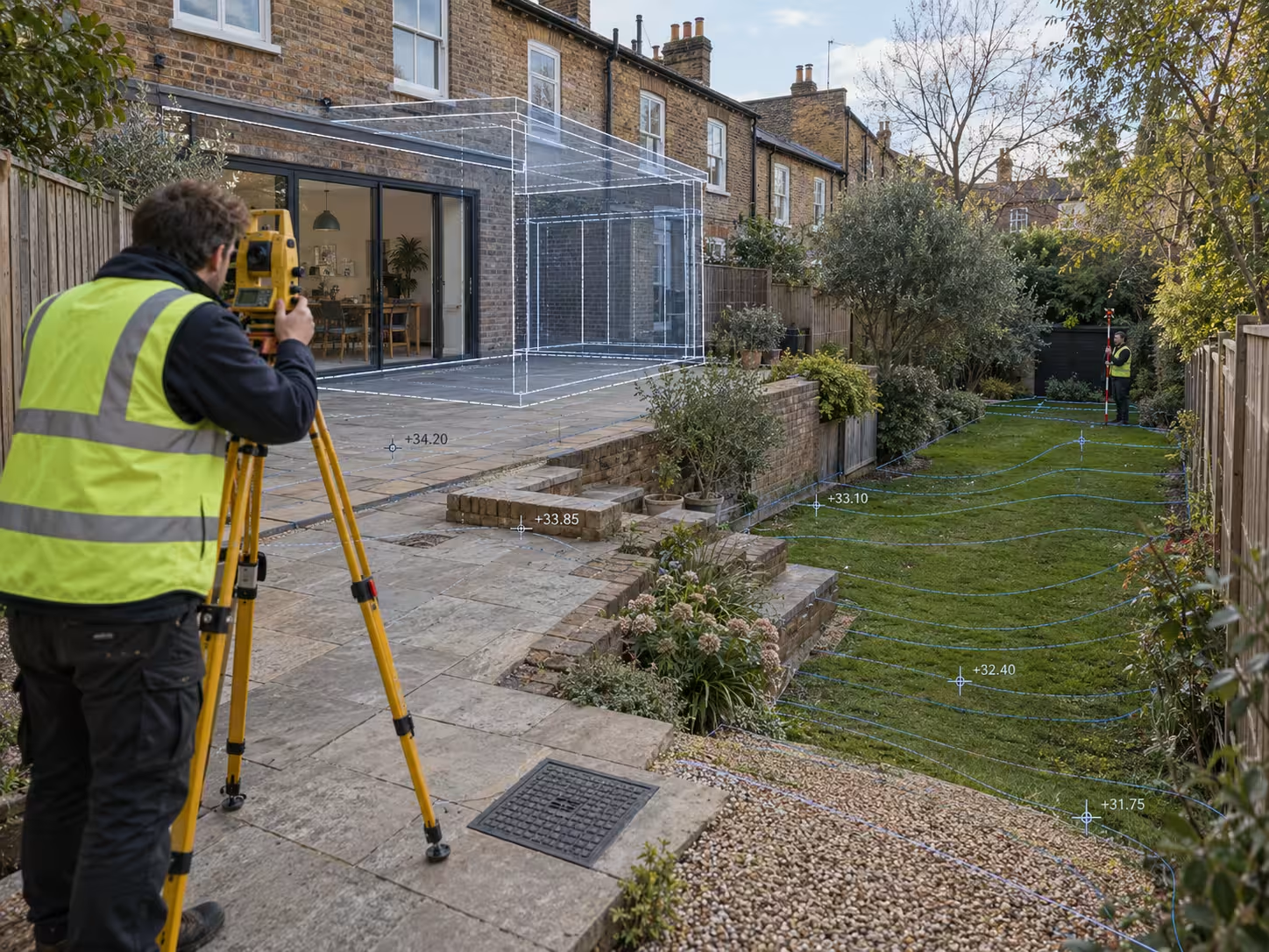
Does every house extension need a topographical survey?
No, every house extension does not need a complete topographical survey. The requirement depends on the site conditions, extension design and information already available.
A small extension on a level and open site may require only basic external dimensions alongside a measured building survey. A more complex site can require detailed ground levels and surrounding features.
A topographical survey is more likely to be needed where:
- The garden slopes
- The extension sits close to a boundary
- Trees stand near the proposed work
- Drainage affects the design
- The project includes a basement
- Steps or retaining walls are required
- The extension changes an existing terrace
- Access around the building is restricted
- The proposal changes the driveway
- The planning drawings need surrounding context
- The extension connects different floor and garden levels
The architect should identify these conditions during the initial project review.
Which type of extension is most likely to need a topographical survey?
Extensions that alter the relationship between the building and the surrounding land are most likely to need a topographical survey. The survey helps the project team understand heights, slopes, boundaries and external constraints.
Rear extensions
A rear extension can need site levels where the garden slopes towards or away from the house. The survey can record the existing patio, steps, retaining walls and garden levels.
Side extensions
A side extension can require accurate boundary, access and ground-level information. The available space can be restricted, so the position of walls, fences and neighbouring buildings matters.
Wraparound extensions
A wraparound extension combines rear and side work. It can affect a larger part of the site and require more information about boundaries, levels, access and drainage.
Basement extensions
A basement project requires careful information about levels and the surrounding site. The topographical survey forms one part of a wider package of structural, ground and drainage information.
Double-storey extensions
A double-storey extension can require surrounding levels and neighbouring context for planning and design. The measured building survey must also record the existing structure accurately.
Extensions on sloping sites
A sloping site normally requires detailed spot levels and contours. These measurements help the architect coordinate finished floor levels, steps, retaining structures and garden access.
Why do ground levels matter for a house extension?
Ground levels control how the new extension connects with the existing house, garden and drainage system. Incorrect level information can lead to unsuitable thresholds, steps, excavations or external ground relationships.
The survey can record:
- Existing finished floor levels
- Door threshold levels
- Patio and terrace levels
- Garden spot levels
- Contour lines
- Step levels
- Retaining-wall heights
- Driveway and path levels
- Relevant neighbouring ground levels
- Drainage cover levels
A finished floor level is the height of the completed internal floor surface. A spot level is the measured height of a specific point outside the building.
The architect compares these values to determine how the proposed extension should sit on the site.
Does a flat garden need to be surveyed?
A garden that appears flat can still contain level changes that affect design and drainage. Visual inspection cannot provide the same information as measured levels.
Small changes in height can affect:
- The number of external steps
- Door threshold design
- Surface-water flow
- Patio construction
- Excavation requirements
- Retaining details
- Accessible routes
- The connection with existing paths
The architect can limit the survey area where only part of the garden affects the proposal. The survey does not always need to cover the entire property.
What does a topographical survey include for an extension?
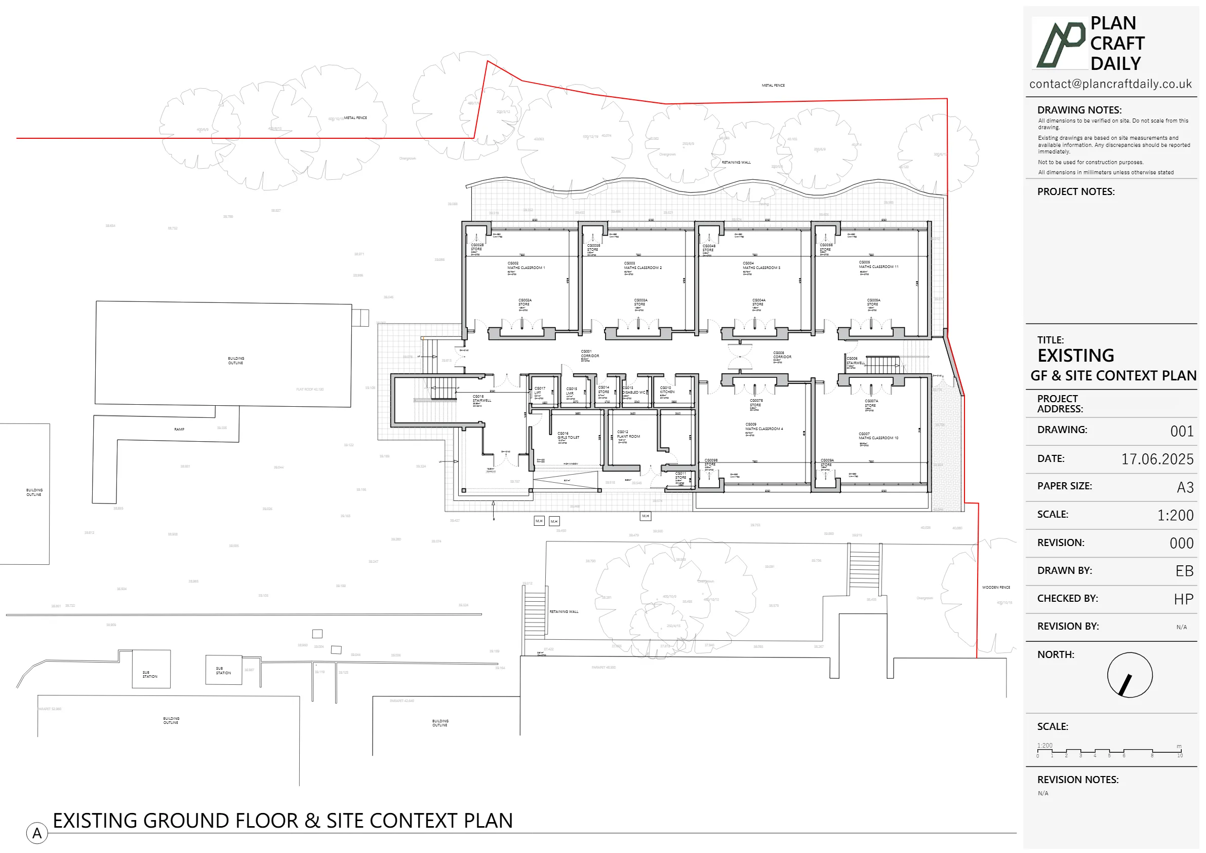
An extension survey includes the external levels and site features needed to design the proposed work. The final scope must match the extension type and the architect’s requirements.
The agreed survey can include:
| Survey feature | Why it matters |
|---|---|
| Ground spot levels | Shows how the land rises and falls |
| Contour lines | Describes the wider shape of the ground |
| Existing building outline | Positions the extension against the house |
| Finished floor levels | Connects the new and existing internal floors |
| Door thresholds | Helps coordinate access to the garden |
| Walls and fences | Records visible boundary features |
| Trees and hedges | Shows vegetation near the proposed work |
| Paths and patios | Records existing hard landscaping |
| Steps and retaining walls | Shows changes in external level |
| Manholes and gullies | Supports early drainage planning |
| Driveways and kerbs | Supports access and frontage design |
| Neighbouring features | Provides context where required |
The guide to what is included in a topographical survey explains the wider survey scope.
Does an extension also need a measured building survey?
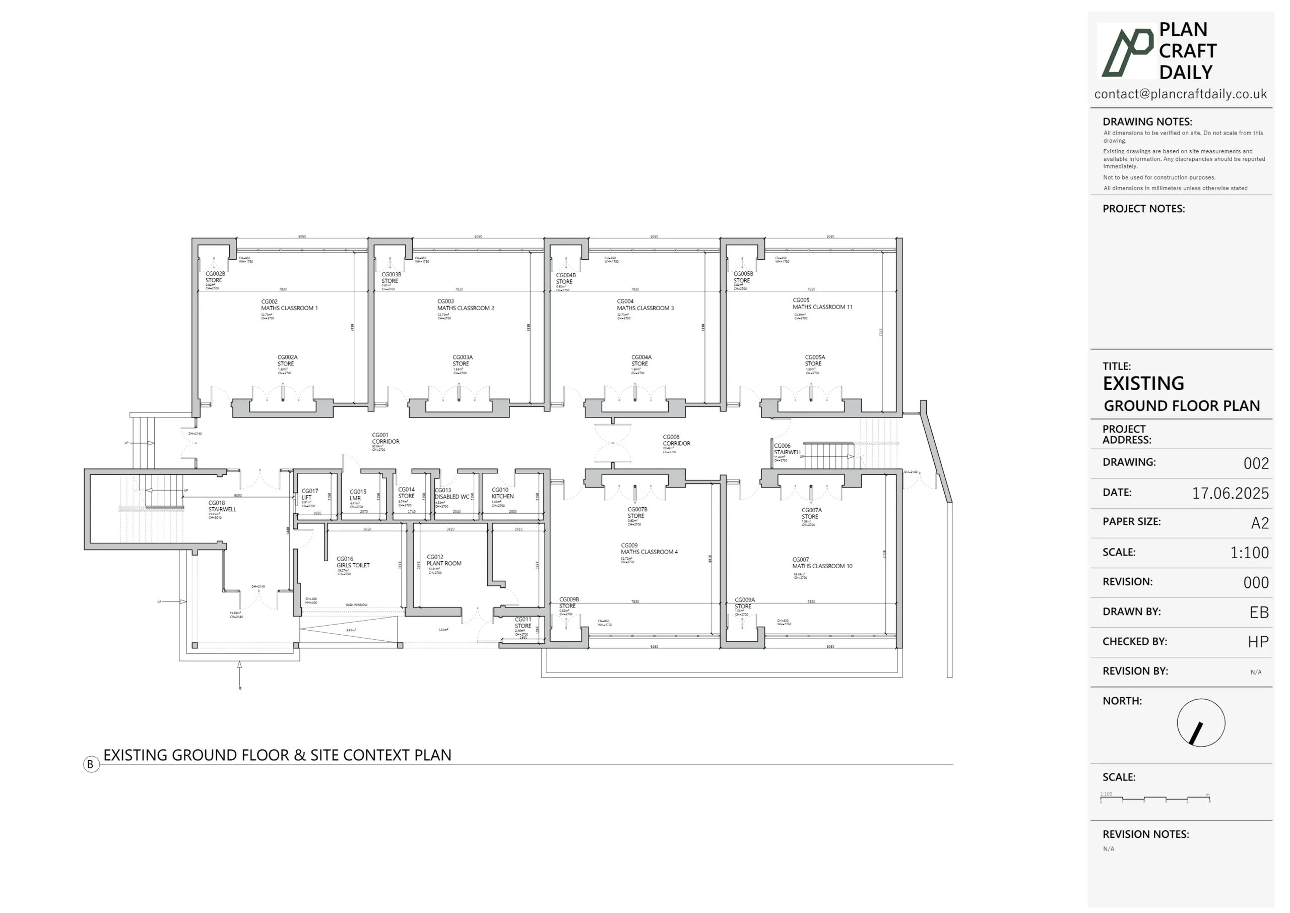
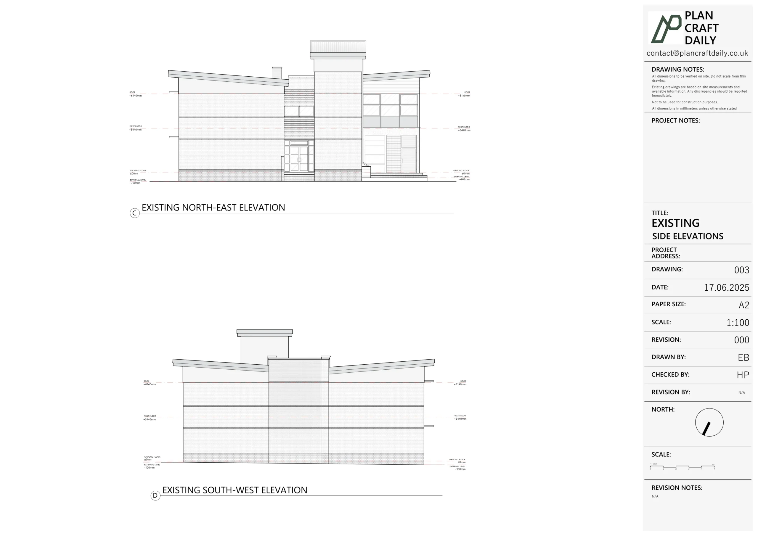
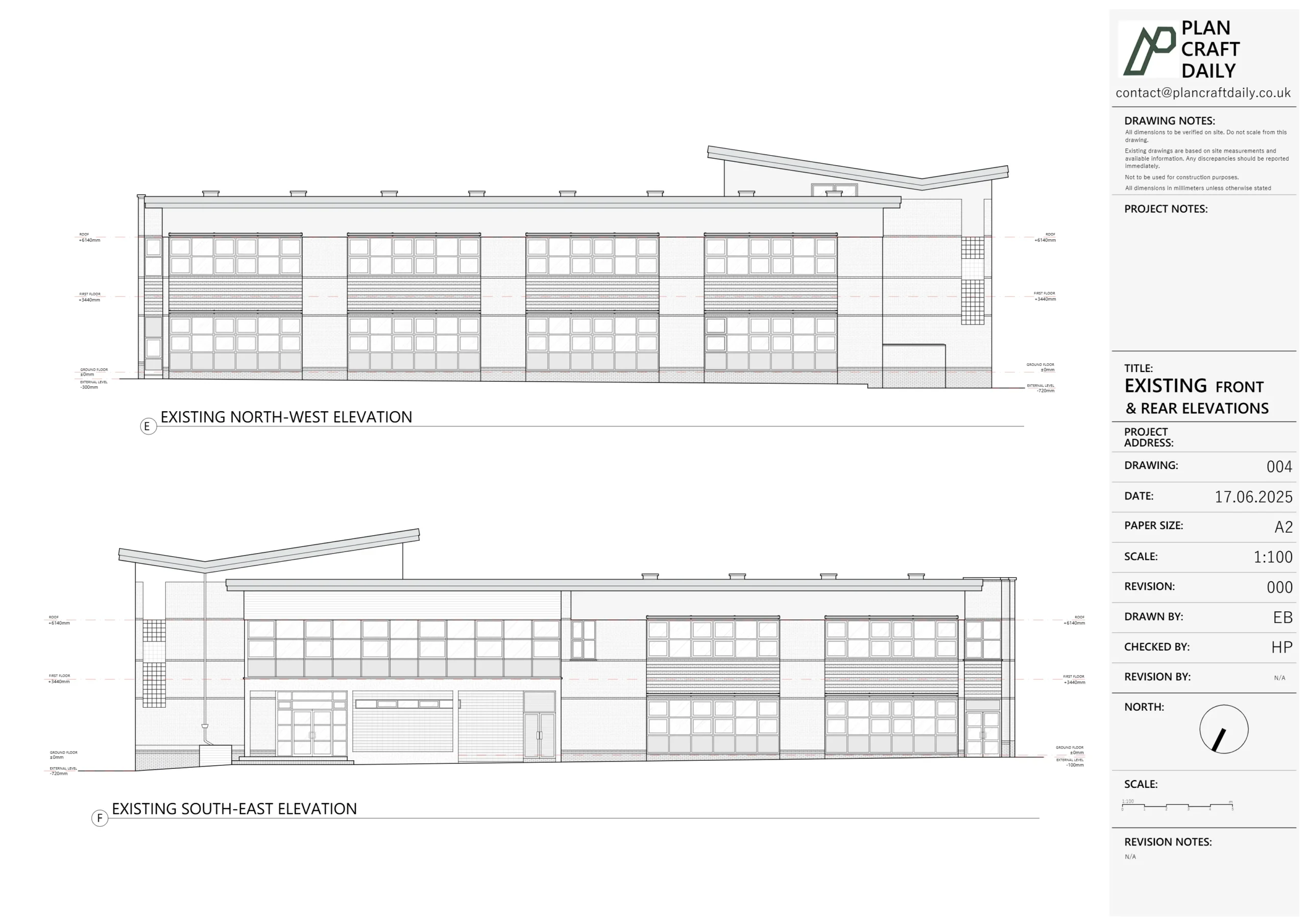
Most extension designs need accurate information about the existing building as well as the surrounding site. A measured building survey records the property, while a topographical survey records the external land and site features.
A measured building survey can provide:
- Existing floor plans
- External elevations
- Building sections
- Wall positions
- Door and window positions
- Floor-to-ceiling heights
- Roof information where agreed
- Visible structural features
A topographical survey can provide:
- External ground levels
- Building positions
- Visible boundaries
- Trees and hedges
- Paths and hard surfaces
- Access features
- Visible drainage features
The architect can use both surveys as a coordinated base for the proposed drawings.
Read measured building survey versus topographical survey for a complete comparison.
Can both surveys be completed during one site visit?
A measured building survey and topographical survey can be coordinated during the same commission when both services are agreed in advance. The quotation must identify the scope and deliverables for each survey.
A combined commission can provide the design team with coordinated information about:
- Internal layouts
- External elevations
- Building sections
- External ground levels
- Boundaries
- Trees
- Access routes
- Drainage features
The client should send the architect’s complete information request before the visit. Adding a topographical scope after the measured building survey can require a return to the property.
Plan Craft Daily provides measured building surveys for existing-property projects.
Do you need a topographical survey for planning permission?
A topographical survey is not required for every extension application, but it can be necessary where levels or external site features affect the proposal. The local planning authority must receive enough information to assess the development.
A planning-focused survey can help show:
- The relationship with neighbouring properties
- Existing and proposed site levels
- Building height above the ground
- The position of trees
- The relationship with visible boundaries
- Changes to driveways or access
- Retaining walls and raised terraces
- The site’s relationship with the street
Local planning authorities can publish validation requirements that apply alongside the national requirements.
Read topographical surveys for planning permission for more detail.
The official GOV.UK guidance on making a planning application explains the national application process.
Does a permitted development extension need a topographical survey?
A permitted development extension can still need a topographical survey even where a full planning application is not required. The planning route does not remove the need for accurate design information.
Permitted development rights allow certain work to proceed without a full planning application, subject to limits and conditions.
The project can still require site information for:
- A lawful development certificate
- Architectural design
- Building Regulations
- Structural design
- Drainage design
- Party wall coordination
- Construction information
- Setting out
The architect should assess the site requirements separately from the planning route.
The Planning Portal guidance on extensions explains the general planning considerations for house extensions.
Why do boundaries matter for an extension?
Visible boundary features help the architect position the extension within the available site. However, a measured fence, wall or hedge does not prove the legal boundary.
The topographical survey can record:
- Boundary walls
- Timber fences
- Metal railings
- Hedge lines
- Gates
- Retaining walls
- Nearby structures
Legal boundary interpretation can require title documents, deeds and specialist advice.
The client should tell the design team about any known boundary uncertainty or dispute. The architect should not treat the visible fence line as automatic proof of land ownership.
Why do neighbouring features matter?
Neighbouring features can provide essential design and planning context where the extension sits close to another property. The required survey area can extend beyond the client’s building and garden.
Relevant features can include:
- Neighbouring building outlines
- Windows facing the proposed work
- Boundary walls and fences
- Adjacent rooflines
- Nearby ground levels
- External steps
- Retaining structures
- Trees close to the boundary
The surveyor needs permission before entering neighbouring land. Some information can be measured from the client’s property where it is visible, but access limitations must be recorded.
The architect should specify the exact neighbouring information required.
Why do trees matter for an extension?
Trees can affect an extension’s layout, foundations and planning information. The topographical survey can record their position and physical relationship with the proposed work.
The agreed survey scope can include:
- Trunk positions
- Approximate trunk diameters
- Canopy spreads
- Tree identifiers
- Hedge lines
- Significant vegetation
A topographical survey does not assess tree health or condition. An arboricultural survey provides specialist tree information and development advice.
The arboriculturist can request a particular method for recording the trees. Obtain this requirement before the site survey where tree constraints affect the project.
Why does drainage matter for an extension?
An extension can alter roof drainage, paved areas and access to existing drainage features. The project team therefore needs accurate information about visible drainage points and relevant levels.
A topographical survey can record:
- Manhole-cover positions
- Cover levels
- Gullies
- Drainage channels
- Visible service covers
- Ground levels around drainage features
A cover position does not confirm the route or condition of an underground drain.
Additional investigation can include:
- Drainage-record research
- Invert-level measurements
- CCTV drainage inspection
- Underground utility detection
- Drainage design
The survey brief must state whether invert levels are required. An invert level is the measured height at the bottom of a drainage pipe or channel.
Approved Document H provides the official Building Regulations guidance for drainage and waste disposal in England. It is available from GOV.UK.
Does an extension survey include underground services?
A standard topographical survey does not automatically locate underground pipes, cables or other buried services. It normally records only the visible surface features included in the agreed brief.
A visible inspection cover or utility cover can indicate that a service exists. However, it does not confirm:
- The underground route
- The service depth
- The pipe or cable condition
- Whether the service remains active
- Whether additional connections exist
A separate utility survey can be required where buried services affect excavation, foundations or construction safety.
The design and construction teams must not treat surface cover positions as a complete underground utility plan.
How much of the garden needs to be surveyed?
The survey should cover the extension area and every surrounding feature that affects design, planning, drainage or construction. The full garden does not need to be included automatically.
A limited survey area can be suitable where the project only affects land close to the house. A wider survey can be required where:
- The garden has a continuous slope
- Drainage runs across the site
- Access comes from another part of the property
- Trees stand farther from the proposed extension
- Planning requires wider context
- Proposed landscaping extends beyond the building work
- Retaining structures connect different areas
Ask the architect to mark the required survey boundary on a plan. This marked area gives the surveyor a clear basis for the quotation.
When should you arrange the topographical survey?
Arrange the survey before detailed design begins when external levels or site features affect the extension. The architect can then develop the proposal using measured information.
A practical sequence is:
- Discuss the extension with the architect
- Confirm the required surveys
- Mark the survey boundary
- Define the required features and levels
- Commission the measured building and topographical surveys
- Provide the completed files to the design team
- Prepare the proposed design
- Confirm the planning route
- Develop the technical drawings
Commissioning the survey after the design has progressed can expose incorrect assumptions. The drawings may then need revision.
How do you brief a topographical survey for an extension?
Send the surveyor the property address, proposed extension area and architect’s information requirements. The brief should define the survey boundary, required features, accuracy and deliverables.
Include:
- The full property address
- A plan showing the survey area
- A description of the proposed extension
- The architect’s survey specification
- Required ground levels and contours
- Required boundary features
- Required tree information
- Required drainage features
- Required neighbouring context
- Coordinate and datum requirements
- Drawing scale
- Required file formats
- Access restrictions
- Parking information
- The required delivery date
The surveyor can then prepare a quotation based on the actual scope.
Read the topographical survey cost guide to understand which factors affect the quotation.
How can Plan Craft Daily help with an extension survey?
Plan Craft Daily provides measured building and topographical surveys for extension projects across London and the Home Counties. The agreed survey package can record the existing building, external levels and relevant site features.
Send the property address, survey area and architect’s requirements when requesting a quotation. Plan Craft Daily can then review the scope and confirm the required deliverables.
Visit the topographical survey service page to learn more or request a quote.