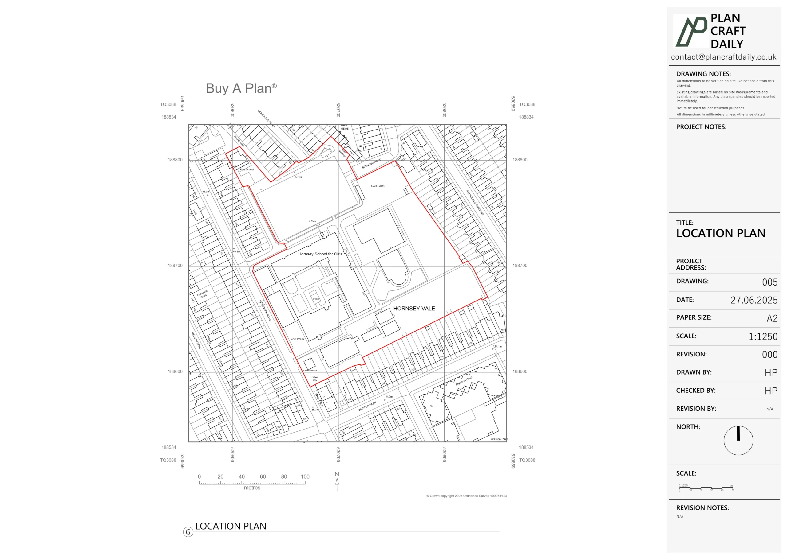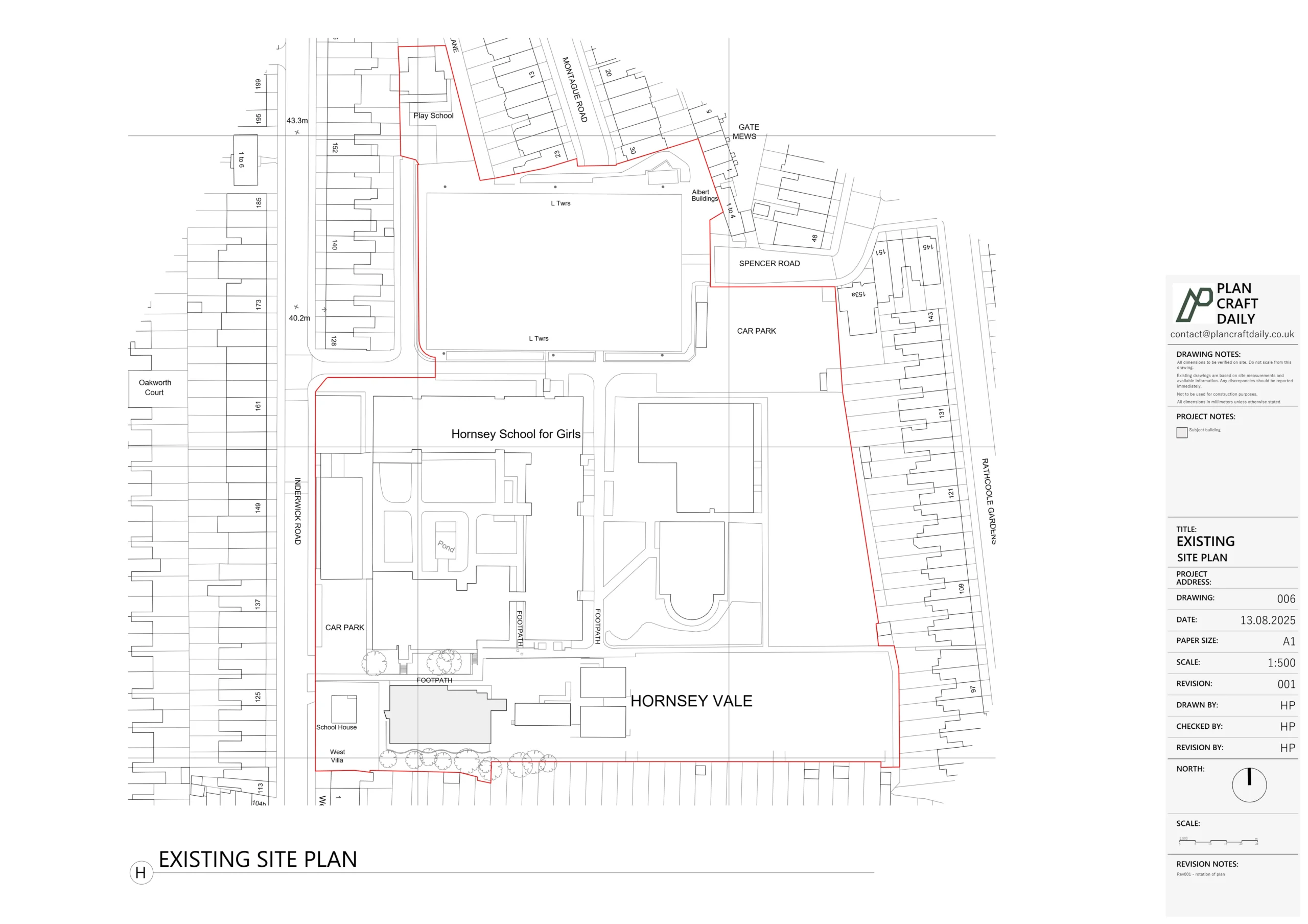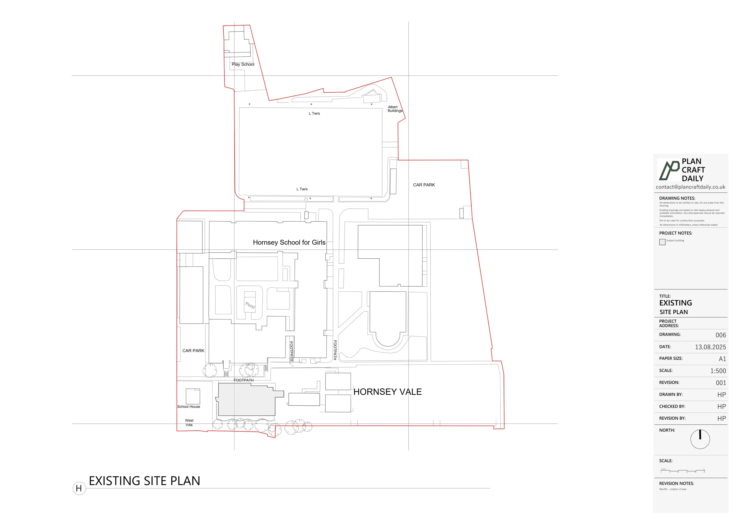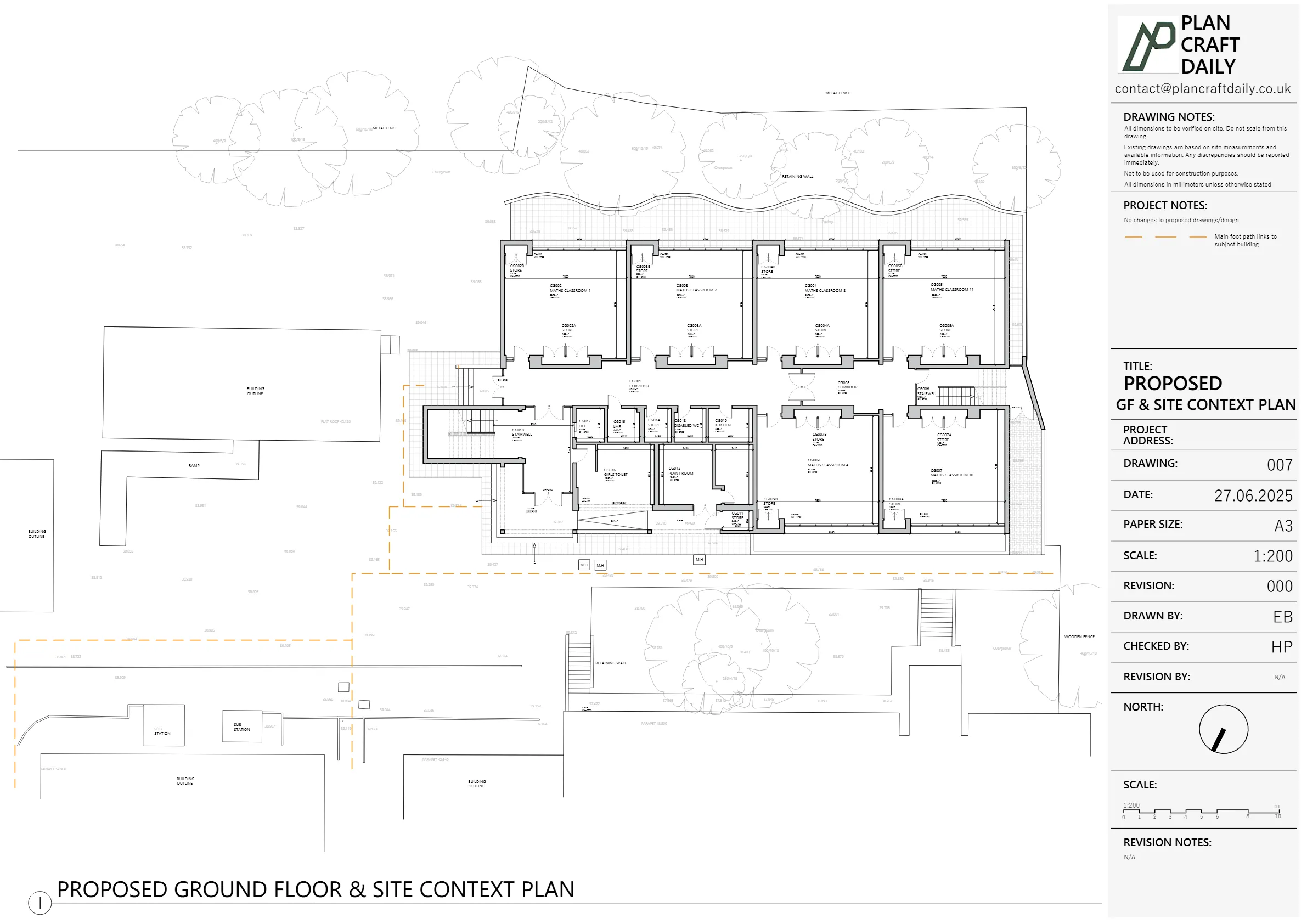
What does a topographical survey include?
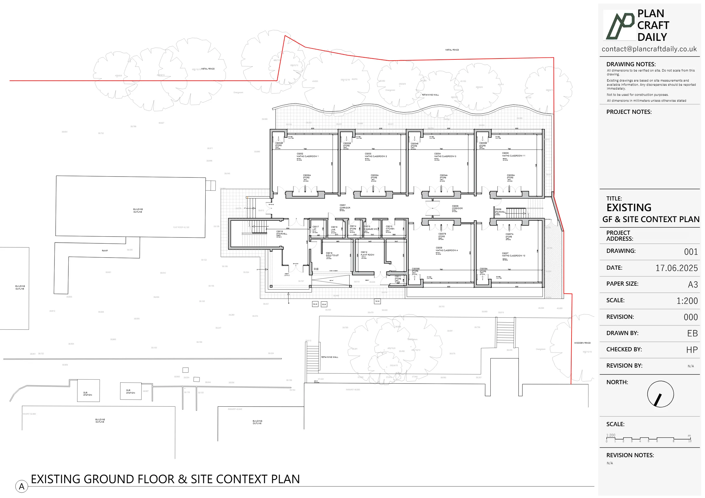
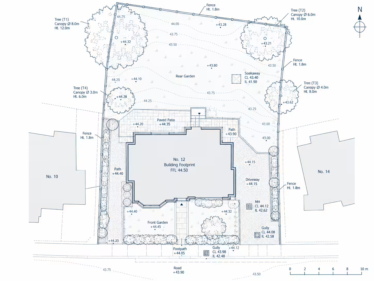
A topographical survey normally includes the land levels and visible site features required by the project team. The final content depends on the survey boundary, design purpose, required accuracy, coordinate system and agreed deliverables.
A small residential extension and a large development site do not need the same information. An architect or engineer may only need levels around the proposed work. A wider project may need the whole plot, adjoining context and more detailed feature information.
The survey brief can include:
- Spot levels across the site
- Contour lines showing changes in ground height
- Building footprints and finished floor levels
- Walls, fences, hedges and other visible boundary features
- Trees, including trunk positions and canopy spreads where requested
- Paths, roads, kerbs and hard surfaces
- Manholes, gullies and other visible drainage features
- Street furniture and visible utility covers
- A north point, scale, grid and level datum
- A CAD drawing in DWG format and a review copy in PDF
The RICS measured survey specification separates the project purpose, survey extent, accuracy, control, topographical content and deliverables. This structure shows why the brief matters as much as the survey name.
Which ground-level information is included?
Ground-level information can include spot levels, contours and finished floor levels. These measurements explain how the land rises, falls and relates to buildings, paths, drainage points and neighbouring areas.
A spot level is a measured height at one exact position. A contour is a line joining points of equal height. Together, they help the design team understand the shape of the site.
The drawing must also identify the datum, which is the reference used for the levels. The project team should confirm whether it needs a local project datum or levels related to Ordnance Survey datum.
Levels are especially relevant where:
- The site slopes
- Proposed work changes the ground
- Drainage design depends on falls
- New floor levels must relate to the garden or road
- Retaining walls or steps form part of the design
- The relationship with neighbouring land matters
Which buildings and hard features are included?
A topographical survey can record building outlines and visible hard features within the agreed area. These features place the land information in a clear physical context.
| Survey feature | What the drawing can show |
|---|---|
| Existing buildings | Footprints, corners and relevant floor levels |
| Roads and paths | Edges, kerbs, surface changes and access routes |
| Walls and fences | Visible position and feature type |
| Steps and ramps | Position and changes in level |
| Hard landscaping | Patios, paved areas and other visible surfaces |
| Street furniture | Posts, signs, lamps and other requested objects |
The survey records features that can be observed and measured. It does not assess their structural condition or confirm who owns them.
Are boundaries included in a topographical survey?
Visible boundary features can be included, but a topographical survey does not establish the legal boundary. A fence, wall or hedge can be measured and shown as a physical feature without proving that it follows the legal title boundary.
This distinction prevents a common misunderstanding. The drawing records what exists on site. Legal boundary interpretation can require title documents, deeds and specialist legal or boundary advice.
The brief should identify which visible boundary features need to be surveyed. It should also state whether adjoining features are needed to provide context.
Are trees and vegetation included?
Tree positions and canopy spreads can be included when they form part of the agreed scope. The drawing can record their physical location, but it does not replace an arboricultural survey or tree-condition assessment.
An arboricultural survey examines trees from a specialist tree-management perspective. A topographical survey supplies spatial information for the project team.
Confirm whether the project requires:
- Trunk positions
- Approximate trunk diameters
- Canopy spreads
- Tree identifiers
- Hedge lines
- Significant vegetation limits
The project arboriculturist may have a preferred recording standard. Ask for that requirement before the topographical survey begins.
Are drainage and utilities included?
Visible drainage features can be included, but underground utility detection is a separate service unless the brief states otherwise.
A standard topographical survey can show visible manhole covers, gullies and service covers without confirming the underground route or condition of a pipe or cable.
A visible cover is evidence of a surface feature, not a complete map of the service below it.
Confirm whether the project needs:
- Visible manhole and inspection-cover positions
- Cover levels
- Invert levels where safely accessible and specifically requested
- Gullies and drainage channels
- A separate underground utility survey
- A separate CCTV drainage survey
What files do you receive?
Plan Craft Daily’s published service scope includes a CAD drawing in DWG format and a PDF drawing for review.
DWG is an editable CAD file used by architects, engineers and designers. PDF is a fixed-format document used for viewing, checking and sharing.
Before commissioning the work, confirm:
- Required file formats
- Drawing scale
- Coordinate grid
- Level datum
- Layer or CAD requirements
- Sheet size
- Naming and revision requirements
- Whether three-dimensional data is required
Do not assume that every format or model is included. Put each required deliverable in the brief.
What is not included in a standard topographical survey?
A standard topographical survey does not automatically include legal boundary determination, underground utility detection, tree-condition advice, structural assessment or internal building measurements.
| Requirement | Relevant service or advice |
|---|---|
| Internal layouts, elevations and sections | Measured building survey |
| Legal boundary interpretation | Boundary specialist and legal advice |
| Underground service detection | Utility survey |
| Drain condition | CCTV drainage survey |
| Tree condition and constraints | Arboricultural survey |
| Building defects or structural adequacy | Building or structural professional |
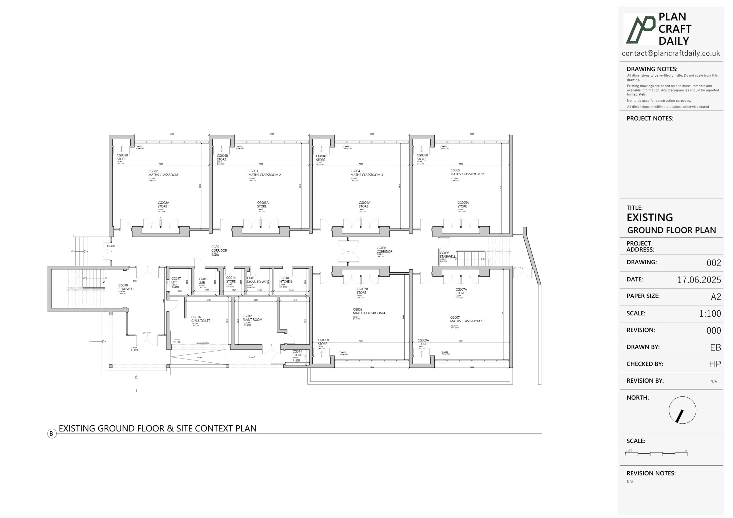
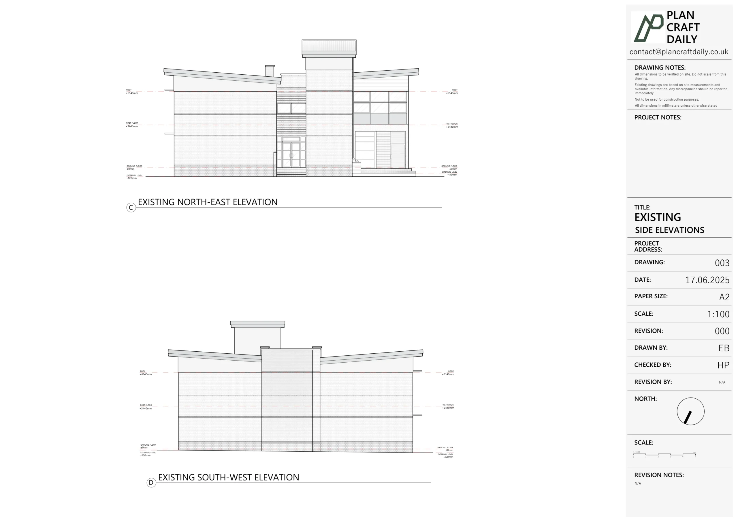
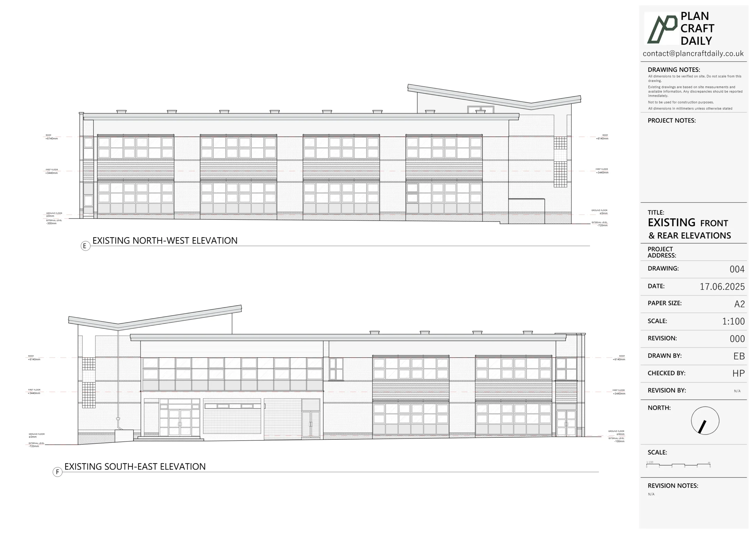
Plan Craft Daily also offers measured building surveys for existing-building information. The guide to measured building surveys versus topographical surveys explains the difference.
How do you agree the correct survey scope?
Start with the decisions the project team needs to make. Define the survey extent, required features, levels, accuracy, datum and deliverables before requesting the quotation.
Send the surveyor:
- The property address and a marked survey area
- A short explanation of the project
- The architect’s or engineer’s survey specification
- The features and adjoining context required
- The required coordinate and level reference
- The required drawing and data formats
- Site access details and known restrictions
- The required delivery date
A precise brief reduces assumptions. It also produces a quotation that reflects the actual work rather than a generic survey label.
How can Plan Craft Daily help?
Plan Craft Daily provides topographical surveys for London and Home Counties property projects.
Send the site address, survey extent and your architect’s or engineer’s requirements when requesting a quote. Plan Craft Daily can then confirm what belongs in the survey scope.