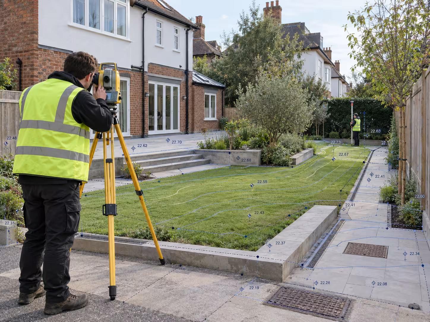
How much does a topographical survey cost in London?
A topographical survey has no single standard price because every site and project brief is different. The quotation reflects the time required to plan the work, collect measurements, process the survey data and prepare the final drawings.
A small residential site usually requires less survey work than a large or complex property. However, the size of the site is only one factor.
A small plot can still require detailed work when it contains:
- Significant changes in ground level
- Dense trees or vegetation
- Restricted access
- Numerous buildings or structures
- Detailed drainage features
- Busy roads or public areas
- A large number of requested survey points
The required output also affects the quotation. A basic two-dimensional drawing needs a different workflow from a detailed three-dimensional dataset.
Which factors affect topographical survey cost in London?
The main cost factors are the survey area, required detail, site complexity, accuracy, location, access and deliverables. Each factor changes the amount of fieldwork or drawing work required.
| Cost factor | How it affects the quotation |
|---|---|
| Survey area | A larger area normally requires more measurements and processing |
| Feature detail | More recorded features require more site and drawing time |
| Ground complexity | Slopes and level changes require additional survey points |
| Site access | Restricted or difficult access can extend the site visit |
| Vegetation | Dense vegetation can block sight lines and hide features |
| Required accuracy | Tighter accuracy requirements can need more survey control |
| Adjoining context | Surveying roads or neighbouring features expands the scope |
| Deliverables | Additional file formats or data outputs require more processing |
| Location | Travel, parking and access arrangements can affect the work |
| Programme | The required delivery schedule can affect resource planning |
The quotation should describe the agreed scope. A low price based on an unclear brief can exclude information that the architect or engineer later needs.
Does the size of the site determine the survey price?
Site size affects the price, but it does not determine the price on its own. The number and complexity of the features within the survey boundary can matter as much as the total land area.
An open and level site can be quicker to survey than a smaller site containing walls, trees, outbuildings, steps and changing ground levels.
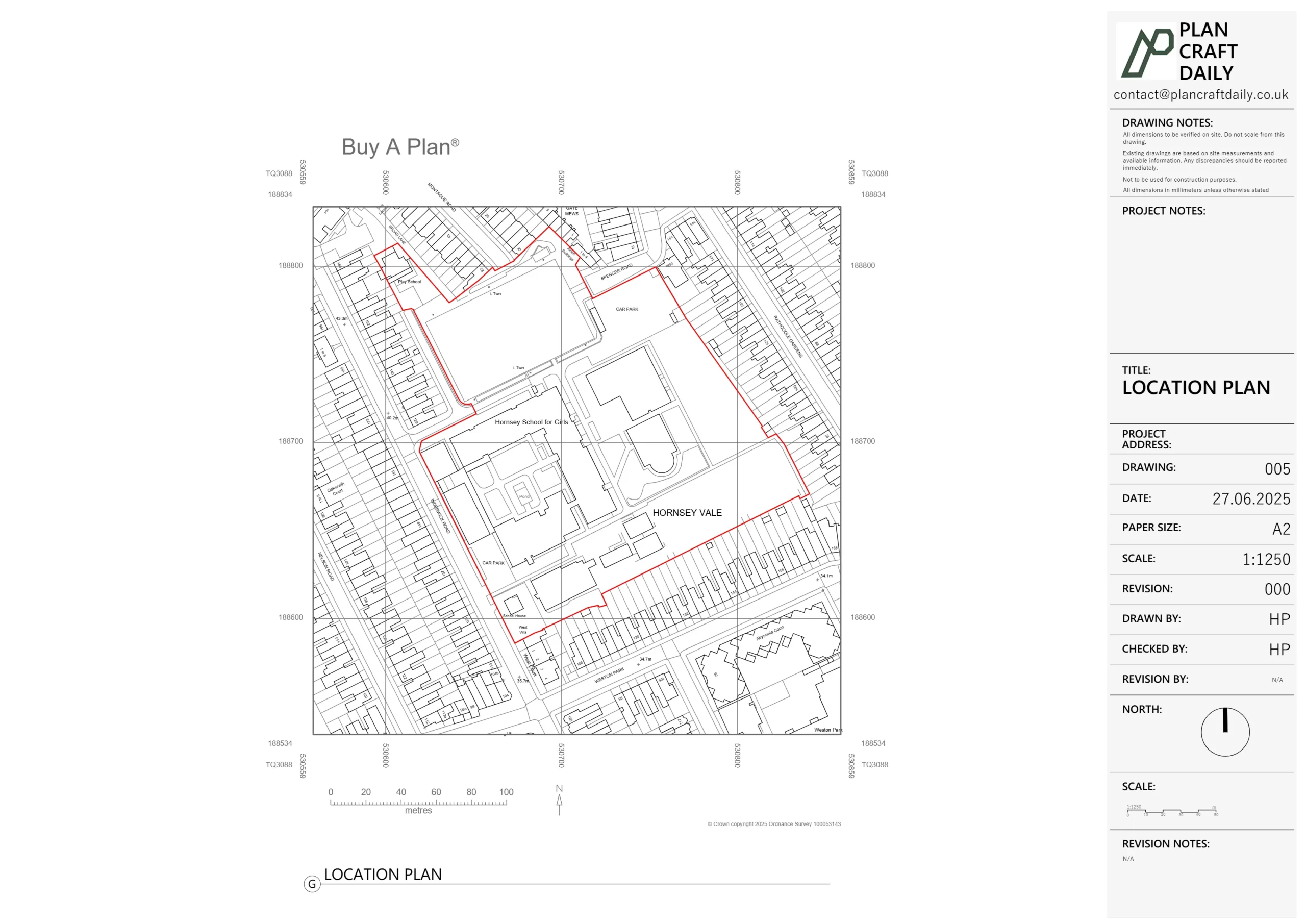
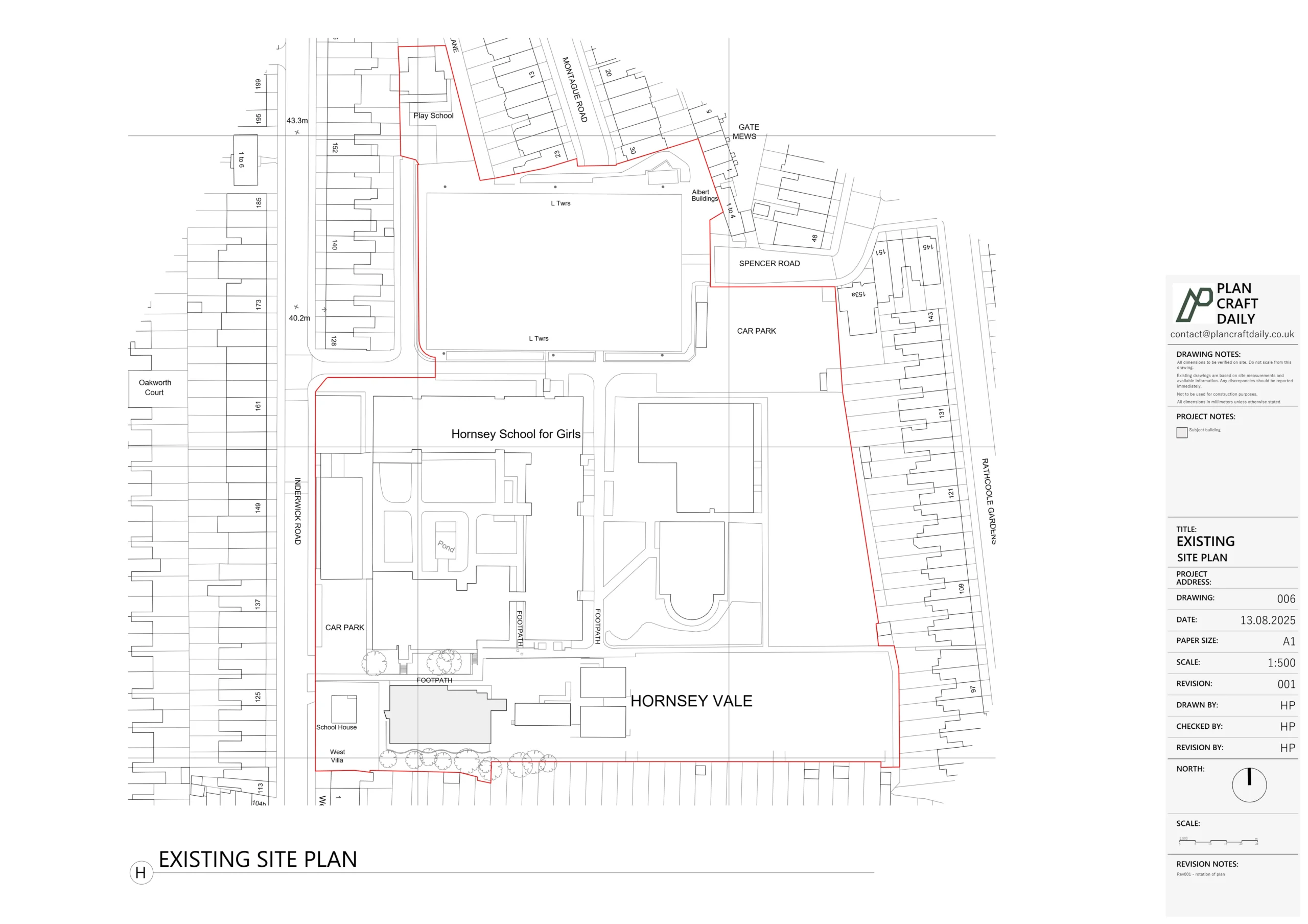
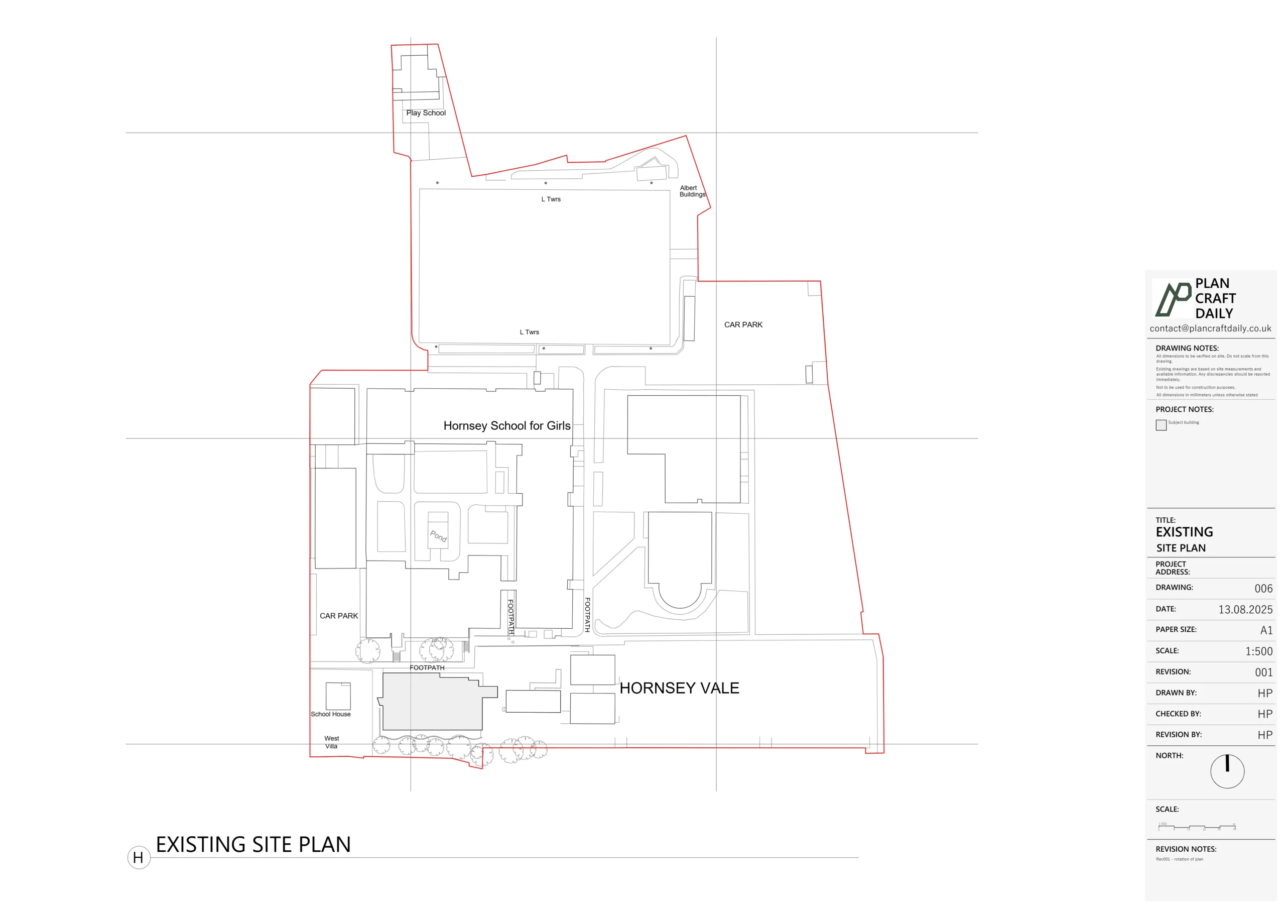
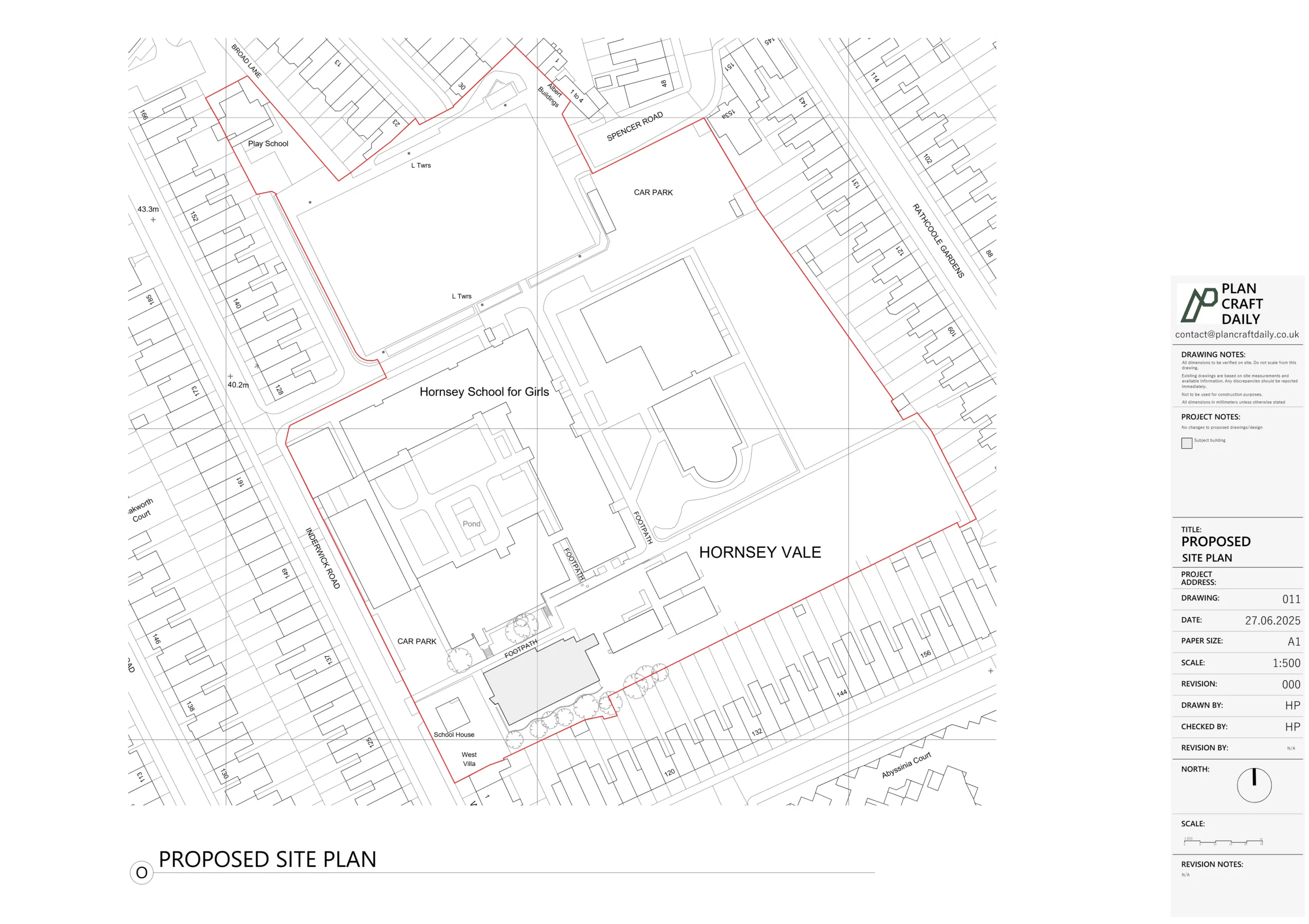
The surveyor therefore needs a clear plan showing the required survey area. A postcode or property address does not always define the full extent of the work.
The marked plan should identify whether the survey needs to cover:
- The full property
- The area around a proposed extension
- A front or rear garden
- An access road
- Part of the public highway
- Relevant neighbouring land
- Trees or drainage features beyond the site
A clear boundary helps the surveyor estimate the fieldwork correctly.
How does the required level of detail affect the cost?
A more detailed topographical survey costs more because it contains more measured information. Every requested feature must be observed, recorded, checked and added to the drawing or dataset.
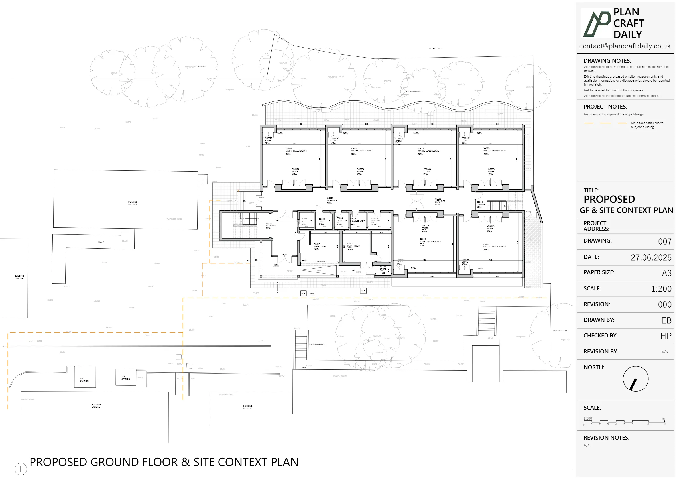
A limited design brief may only require key ground levels, building outlines and visible boundaries. A detailed engineering brief can require additional level points, drainage features, kerbs, trees, surfaces and adjoining context.
Common survey features include:
- Spot levels
- Contour lines
- Building footprints
- Finished floor levels
- Walls and fences
- Hedges and tree positions
- Paths, roads and kerbs
- Steps and retaining walls
- Manholes and gullies
- Visible service covers
- Street furniture
- Surface changes
A topographical survey does not include every feature automatically. The architect or engineer should confirm which information the project needs.
The guide to what is included in a topographical survey explains the typical scope in more detail.
Does the accuracy requirement affect the quotation?
The required survey accuracy affects the equipment, control network, checking process and time needed to complete the work. The correct accuracy must match the intended use of the information.
Survey control means the fixed reference points used to position measurements consistently. The surveyor uses these points to connect the collected data to an agreed coordinate grid and level datum.
A datum is the reference from which heights are measured. The project may use a local site datum or a recognised national reference.
The brief should confirm:
- The required horizontal accuracy
- The required vertical accuracy
- The coordinate system
- The level datum
- The required drawing scale
- Any project control requirements
The RICS measured survey specification provides a structured method for defining survey accuracy, control and content.
Why can London access conditions change the survey cost?
London access conditions can change the cost because they affect travel, setup time and the surveyor’s ability to collect measurements. Parking restrictions, controlled access and busy public areas can all influence the survey plan.
The surveyor needs to know about access restrictions before preparing the quotation.
Relevant details include:
- Permit-controlled parking
- Building access times
- Locked gates
- Tenant or occupier arrangements
- Shared access routes
- Construction activity
- Heavy traffic
- Restricted rear access
- Roof or terrace access
- Areas blocked by stored materials
Clear access information reduces delays during the site visit. It also helps the surveyor decide whether additional arrangements are required.
The property owner or project manager should secure permission before the surveyor enters land outside the client’s control.
Do slopes, trees and vegetation increase the survey price?
Slopes, trees and dense vegetation can increase the required survey work by creating more features and obstructing clear measurement lines. Complex ground also needs more level points to describe its shape accurately.
An open, level garden contains fewer changes to record. A steep garden with steps, retaining walls, planting beds and mature trees contains more physical information.
Vegetation can also hide:
- Boundary features
- Wall edges
- Drainage covers
- Changes in surface
- Small structures
- Changes in ground level
The client should not remove vegetation solely for a quotation. Instead, the surveyor should review current photographs and decide how the site conditions affect the scope.
Do drainage and utility requirements affect the cost?
Visible drainage features can form part of a topographical survey, but underground utility detection normally requires a separate scope. The quotation must state whether it covers surface features only or additional investigation.
A standard survey can record visible features such as:
- Manhole covers
- Inspection covers
- Gullies
- Drainage channels
- Service covers
The position of a cover does not confirm the complete route, depth or condition of the underground service.
Additional work can include invert-level measurements, utility detection or a CCTV drainage survey. An invert level is the measured level at the bottom of a drain or pipe.
These tasks require explicit instructions. They should not be assumed from the words “topographical survey”.
Do the required file formats affect the price?
The required deliverables can affect the price because each output requires preparation, checking and data processing. The project team should specify every required format before the quotation is accepted.
Plan Craft Daily’s published topographical survey scope includes CAD drawings in DWG format and PDF drawings for review.
DWG is an editable computer-aided design file used by architects and engineers. PDF is a fixed-format file used for viewing and sharing.
A project can also require:
- A specific CAD layer structure
- A three-dimensional CAD file
- A point cloud
- A digital terrain model
- Coordinate data
- Separate drawing sheets
- A specific drawing scale
- A client naming convention
Do not assume that every output is included. List the required files in the original survey brief.
Why do topographical survey quotations differ?
Quotations differ because survey companies can price different scopes, accuracy levels and deliverables under the same service name. The lowest total does not always cover the same work as the other quotations.
Compare each quotation against the project brief.
Check whether it confirms:
- The exact survey boundary
- The features being recorded
- The required levels and contours
- The coordinate system and datum
- The required accuracy
- The final file formats
- The expected drawing detail
- Site access assumptions
- Any stated exclusions
- The delivery programme
A quotation that excludes trees, drainage features or adjoining context may appear cheaper. However, the missing information can lead to additional survey work later.
A like-for-like comparison focuses on scope rather than the final figure alone.
Can a measured building survey be included in the same quotation?
A measured building survey can be quoted alongside a topographical survey when the project needs information about both the building and the surrounding land. The two services record different parts of the property.
A measured building survey can record:
- Internal floor layouts
- External elevations
- Building sections
- Structural positions visible during the survey
- Doors and windows
- Floor-to-ceiling heights
A topographical survey focuses on:
- Ground levels
- Site features
- Visible boundaries
- Trees
- Roads and paths
- External drainage features
Combining the site visits can support efficient project planning where both surveys are required. However, the quotation must list the deliverables for each service.
Read measured building survey versus topographical survey for a direct comparison.
How can you request an accurate topographical survey quote?
Provide the property address, a marked survey area, the project purpose and the required deliverables. A detailed request allows the surveyor to price the actual work instead of making assumptions.
Send the following information:
- The full site address
- A plan showing the required survey boundary
- A short description of the proposed project
- The architect’s or engineer’s survey specification
- A list of the required site features
- The coordinate and datum requirements
- The required file formats
- The required drawing scale
- Current site photographs
- Access and parking information
- Known safety or occupancy restrictions
- The required delivery date
The design team should review the scope before the survey is commissioned. This check reduces the risk of missing information.
How can you avoid unexpected survey costs?
Agree the complete scope before the site visit and confirm all exclusions in writing. A clear brief limits the need for extra visits, revised drawings or additional data processing.
Avoid relying on a short request such as “please quote for a topographical survey”. The phrase does not explain the project requirements.
Ask the architect or engineer to confirm:
- The area they need surveyed
- The features they need shown
- The required accuracy
- The level reference
- The drawing format
- The surrounding context required for design or planning
The surveyor can then identify any unclear or conflicting requirements before work begins.
How can Plan Craft Daily help with a London topographical survey?
Plan Craft Daily provides topographical surveys for property projects across London and the Home Counties. The quotation is based on the agreed site area, required survey features, access conditions and drawing deliverables.
Send Plan Craft Daily the site address, marked survey extent and design team’s requirements. The team can then review the scope and prepare a project-specific quotation.
Visit the topographical survey service page