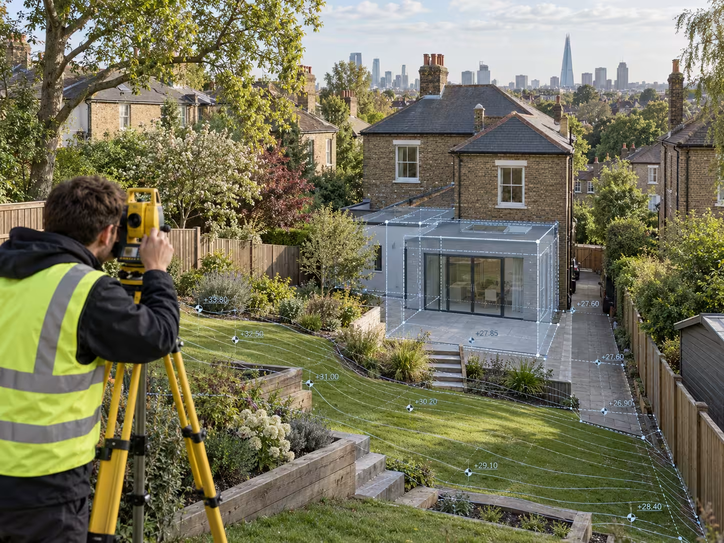
Is a topographical survey required for planning permission?
No universal rule requires every planning application to include a topographical survey. The requirement depends on the proposed work, site conditions, local validation requirements and the information needed to assess the application.
A straightforward project on level land may not need a separate topographical drawing. However, a proposal involving a sloping site, new building, altered access or significant landscaping can require detailed site levels and features.
The application must still provide enough information for the planning authority to understand the relationship between the proposal and its surroundings.
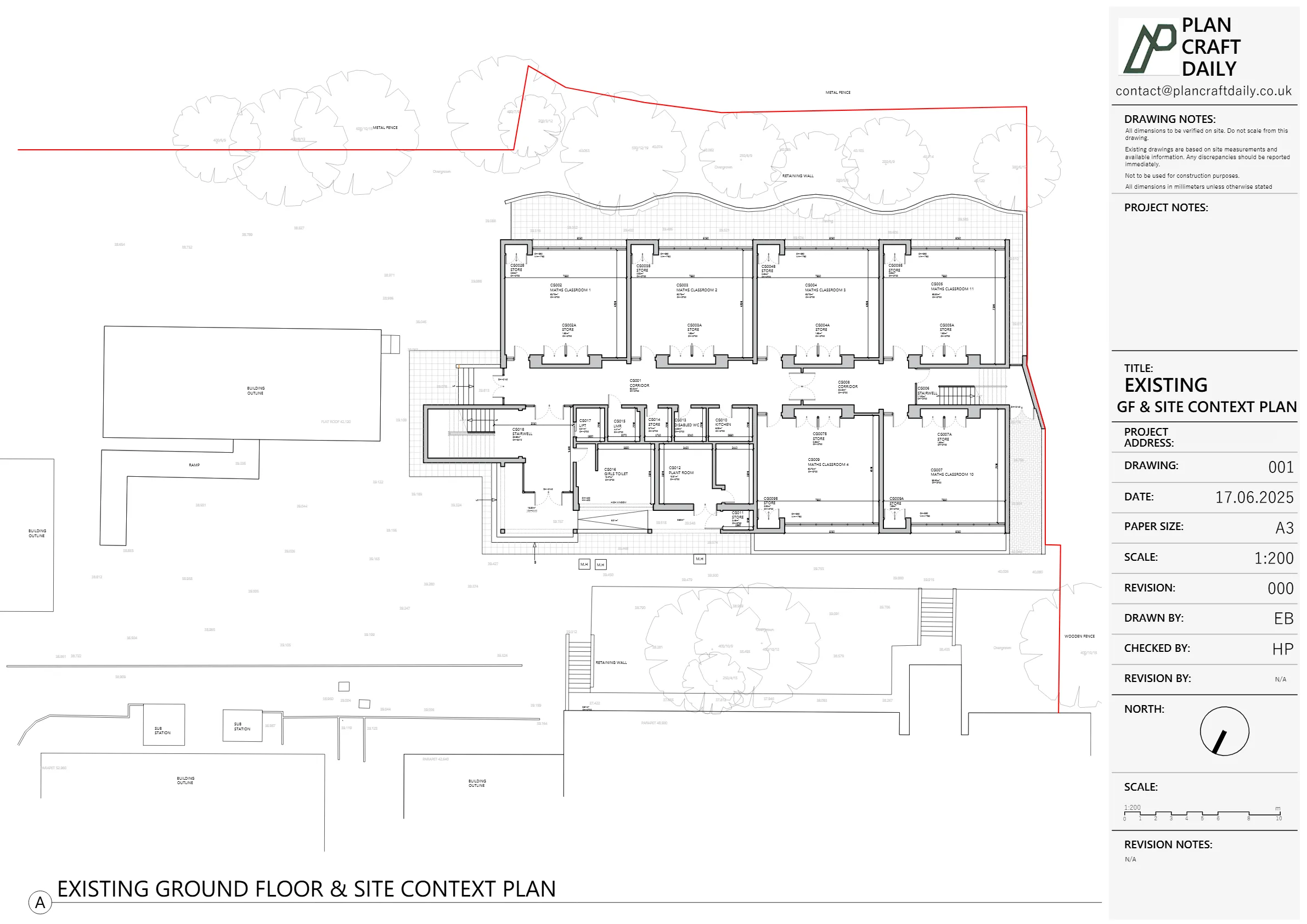
A topographical survey can supply accurate information about:
- Existing ground levels
- Building positions
- Visible boundary features
- Roads and access points
- Trees and hedges
- Paths and hard surfaces
- Retaining walls and steps
- Visible drainage features
- Relevant neighbouring features
The need for this information should be established before the design work begins.
Which planning applications commonly need a topographical survey?
Applications that change a site’s layout, ground levels, access or relationship with neighbouring land are more likely to need a topographical survey. The survey gives the design team an accurate base for the proposed drawings.
Projects that often benefit from a topographical survey include:
- New houses
- Replacement dwellings
- Larger residential extensions
- Basement developments
- Projects on sloping land
- New or altered vehicle access
- Significant landscaping
- Retaining walls and terraces
- Outbuildings on uneven ground
- Developments close to mature trees
- Projects involving drainage design
- Sites with complex boundaries
- Projects near roads or public areas
The size of the project does not determine the requirement on its own. A small proposal on difficult land can need more site information than a larger proposal on an open, level plot.
Why do site levels matter in a planning application?
Site levels show how the proposed development relates to the existing ground, neighbouring properties and surrounding streets. They help the planning authority understand the height, visibility and physical impact of the proposal.
A spot level is the measured height of one position on the site. A contour is a line joining points at the same height. These measurements describe the shape and slope of the land.
Accurate levels can support drawings showing:
- The proposed finished floor level
- The height of the building above the ground
- Changes between the front and rear of the property
- The relationship with neighbouring gardens
- The position of steps and retaining walls
- The gradient of paths and driveways
- The direction of surface-water flow
- Proposed excavation or raised ground
Incorrect or assumed levels can give a misleading picture of the proposal. They can also force the design team to revise drawings after the site conditions become clear.
Does a house extension need a topographical survey for planning?
A house extension does not automatically require a topographical survey, but one can be necessary where external levels or site features influence the design. The architect should review the property before confirming the required survey information.
A topographical survey can be useful where:
- The garden slopes away from the house
- The proposed extension sits near a boundary
- Steps connect the building and garden
- A retaining wall affects the design
- Trees stand close to the proposed work
- Drainage levels influence the layout
- The extension changes an existing patio or terrace
- The proposal affects access around the building
- The planning drawings must show neighbouring context
An extension on level ground may only require selected external measurements alongside a measured building survey.
Plan Craft Daily’s guide to measured building surveys versus topographical surveys explains which information each survey provides.
Does a permitted development project need a topographical survey?
Permitted development status does not determine whether the design team needs a topographical survey. Permitted development controls the planning route, while the survey records the physical information required to design and document the project.
Permitted development rights allow certain work to proceed without a full planning application, subject to conditions and limits. The project can still require accurate levels, boundaries and building positions.
A survey may support:
- Design drawings
- A lawful development certificate application
- Building Regulations drawings
- Drainage design
- Structural design
- Setting-out information
- Coordination with neighbouring features
The project team should confirm both the planning route and the survey requirements. They are related decisions, but they are not the same decision.
The official Planning Portal guidance on permitted development rights explains the general planning framework for household projects.
What does a topographical survey show for planning?
A planning-focused topographical survey shows the existing site features and levels needed to prepare and assess the proposed development. The exact content must match the project and the planning authority’s requirements.
A survey brief can include:
| Survey information | Planning use |
|---|---|
| Building footprints | Shows the existing site layout |
| Ground levels | Explains the slope and height relationships |
| Finished floor levels | Connects buildings to the surrounding ground |
| Walls, fences and hedges | Shows visible boundary features |
| Trees | Supports layout and tree-related planning work |
| Roads and kerbs | Shows the relationship with the highway |
| Paths and driveways | Records access and circulation |
| Steps and retaining walls | Explains changes in level |
| Drainage features | Supports site and drainage design |
| Neighbouring features | Provides context around the proposal |
The survey records physical conditions. It does not decide whether planning permission will be granted.
Are boundaries shown on a planning topographical survey?
Visible walls, fences and hedges can be shown on the survey, but they do not prove the legal boundary position. A topographical survey records visible site features rather than determining land ownership.
This distinction matters when a proposal sits close to the edge of a property.
The design team can use the measured fence or wall position as physical site information. However, legal boundary questions can also require:
- Land Registry title documents
- Historic deeds
- Previous conveyance plans
- Specialist boundary advice
- Legal advice
The client should tell the surveyor about any known boundary dispute. The survey drawing must not be treated as a legal boundary decision unless that separate work has been expressly commissioned.
Are trees included in a topographical survey for planning?
Trees can be included when their position or canopy affects the proposal, but a topographical survey does not replace an arboricultural survey. An arboricultural survey provides specialist information about tree condition, quality and development constraints.
The topographical survey can record:
- Trunk positions
- Approximate trunk diameters
- Canopy spreads
- Hedge lines
- Tree identifiers
- The relationship between trees and buildings
The arboriculturist may require a particular method of recording tree information. The design team should obtain those requirements before the topographical survey takes place.
This coordination prevents duplicated visits and missing information.
Does the planning authority specify the survey requirements?
The local planning authority can specify application documents through its local validation requirements. These requirements sit alongside the national information needed for a valid planning application.
GOV.UK explains that planning applications must include the national information requirements and any relevant local requirements. The exact documents depend on the application type and the proposal.
Local requirements can request information about:
- Existing and proposed site levels
- Street scenes
- Trees
- Landscaping
- Access
- Flood risk
- Drainage
- Ecology
- Heritage
- Highway effects
The applicant should check the current local validation list before submitting the application. An architect or planning consultant can identify which requirements apply to the project.
Read the official GOV.UK guidance on making a planning application for the national process.
Can an architect use an old site plan instead?
An old site plan is only suitable when it remains accurate and contains all the information required for the new project. Previous drawings can omit later changes, use an unsuitable datum or provide insufficient detail.
Common problems with old drawings include:
- Buildings added after the original survey
- Altered walls or fences
- New extensions or outbuildings
- Removed or newly planted trees
- Changed ground levels
- New drainage features
- Incomplete neighbouring context
- Missing coordinate information
- An unknown survey date
- Unclear accuracy
The architect should review the drawing before relying on it. A new survey is appropriate where the existing information cannot be verified or does not match the project brief.
Is a site plan the same as a topographical survey?
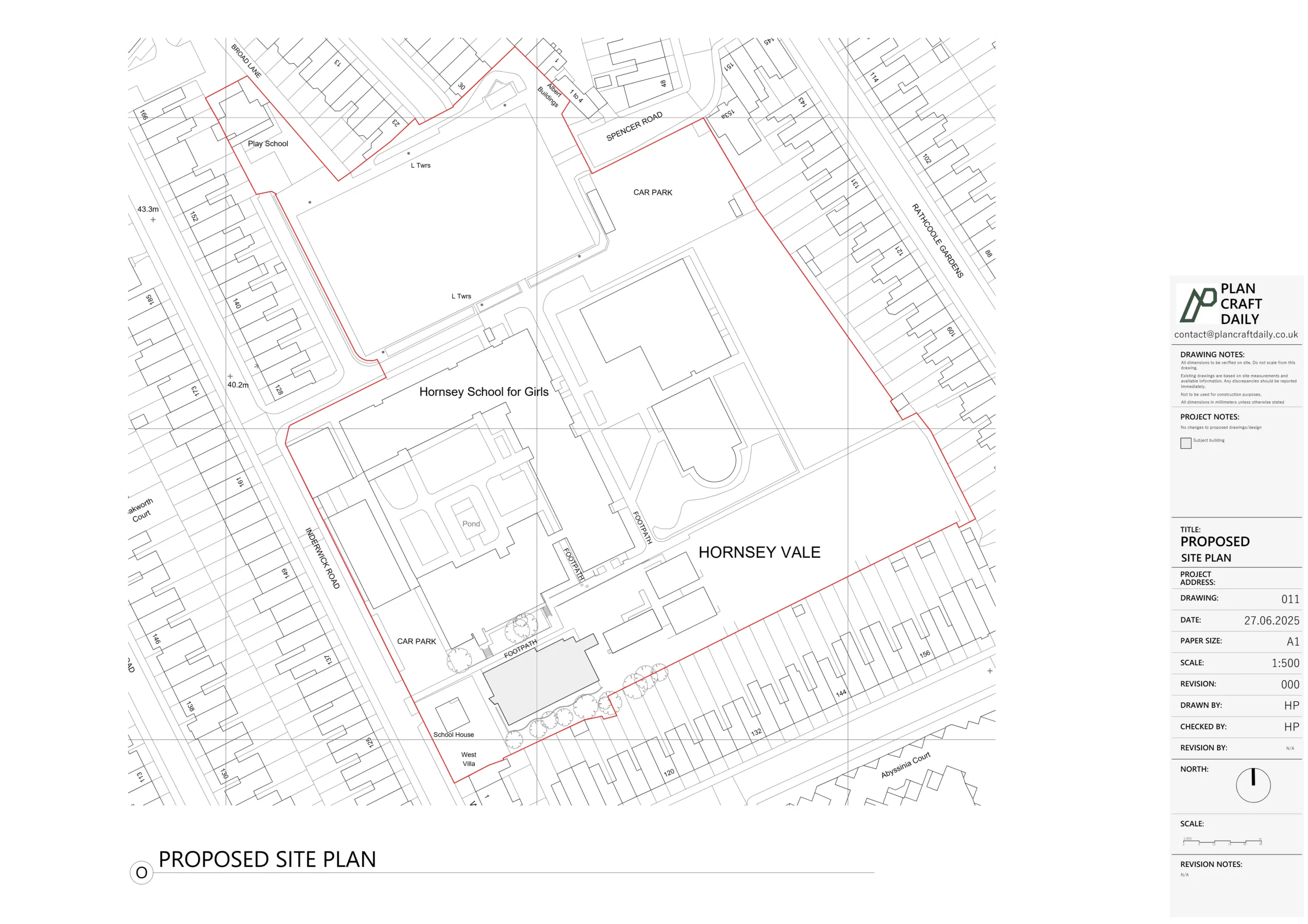
A site plan and a topographical survey serve different purposes. A site plan presents the property and proposal for the planning application, while a topographical survey supplies measured information used to prepare accurate design drawings.
A planning site plan normally shows the proposal in relation to the property boundary and surrounding area. A topographical survey can contain more detailed information about levels and physical site features.
| Document | Main purpose |
|---|---|
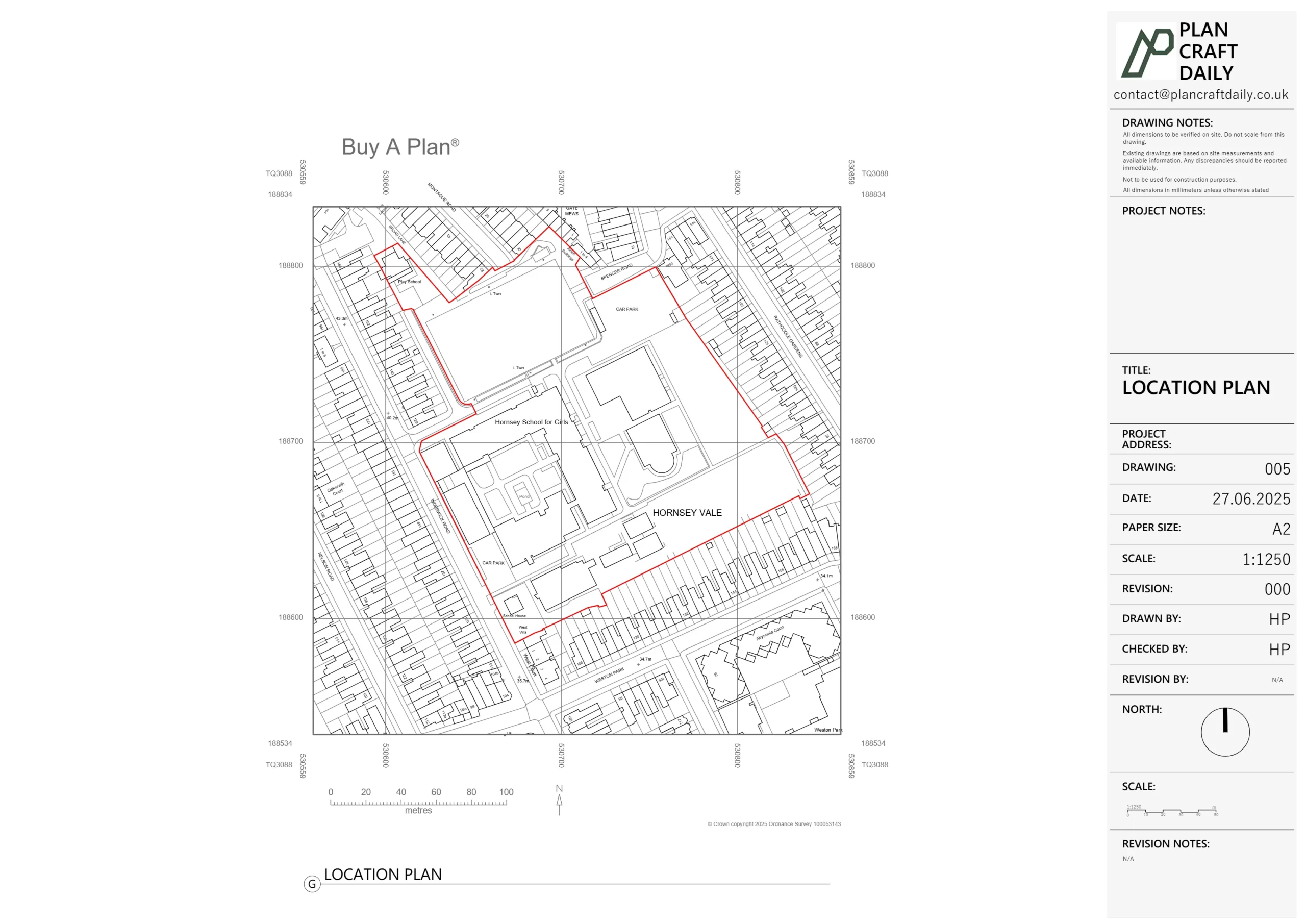
| Location plan | Identifies the application site in its wider area |
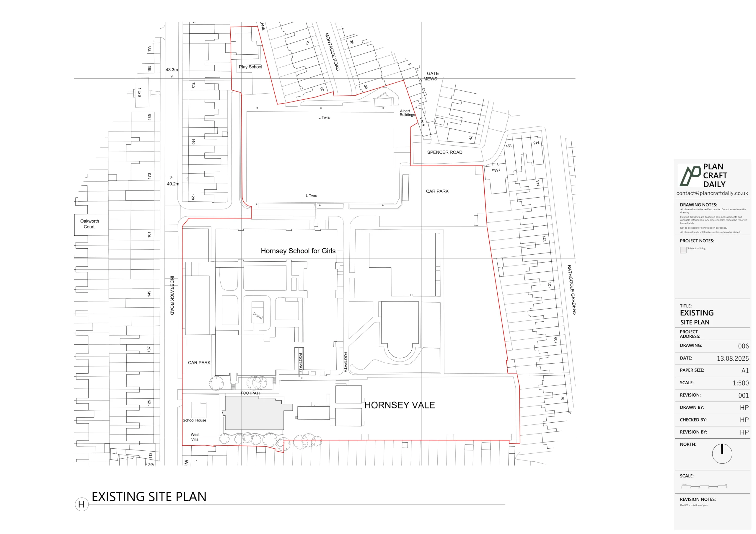
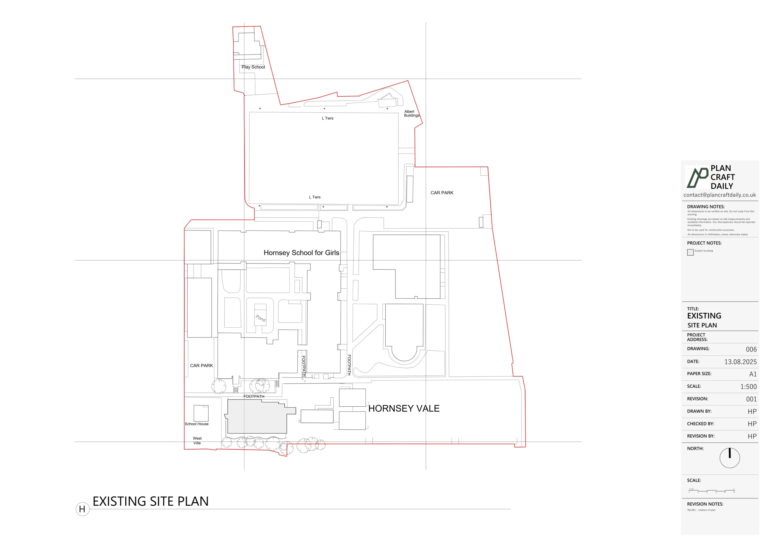
| Site or block plan | Shows the proposal within the property |
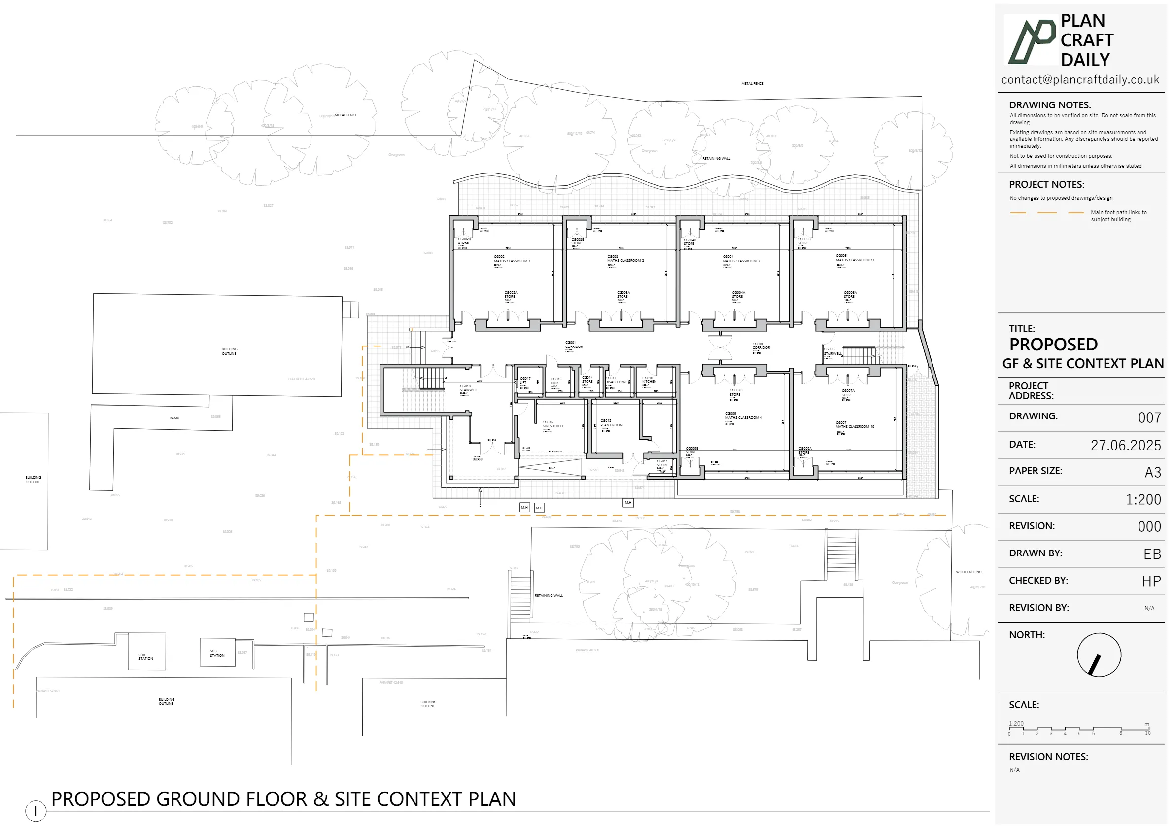
| Topographical survey | Records measured site features and levels |
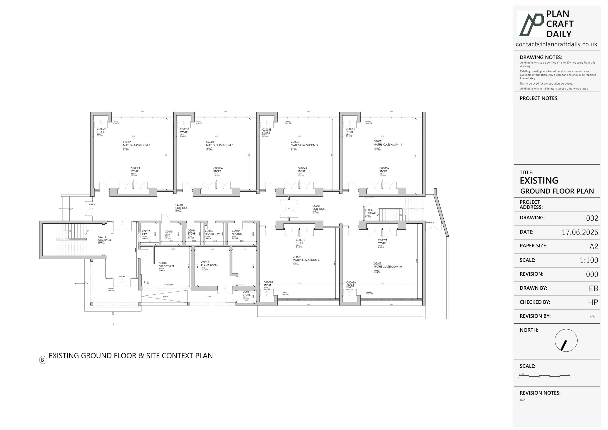
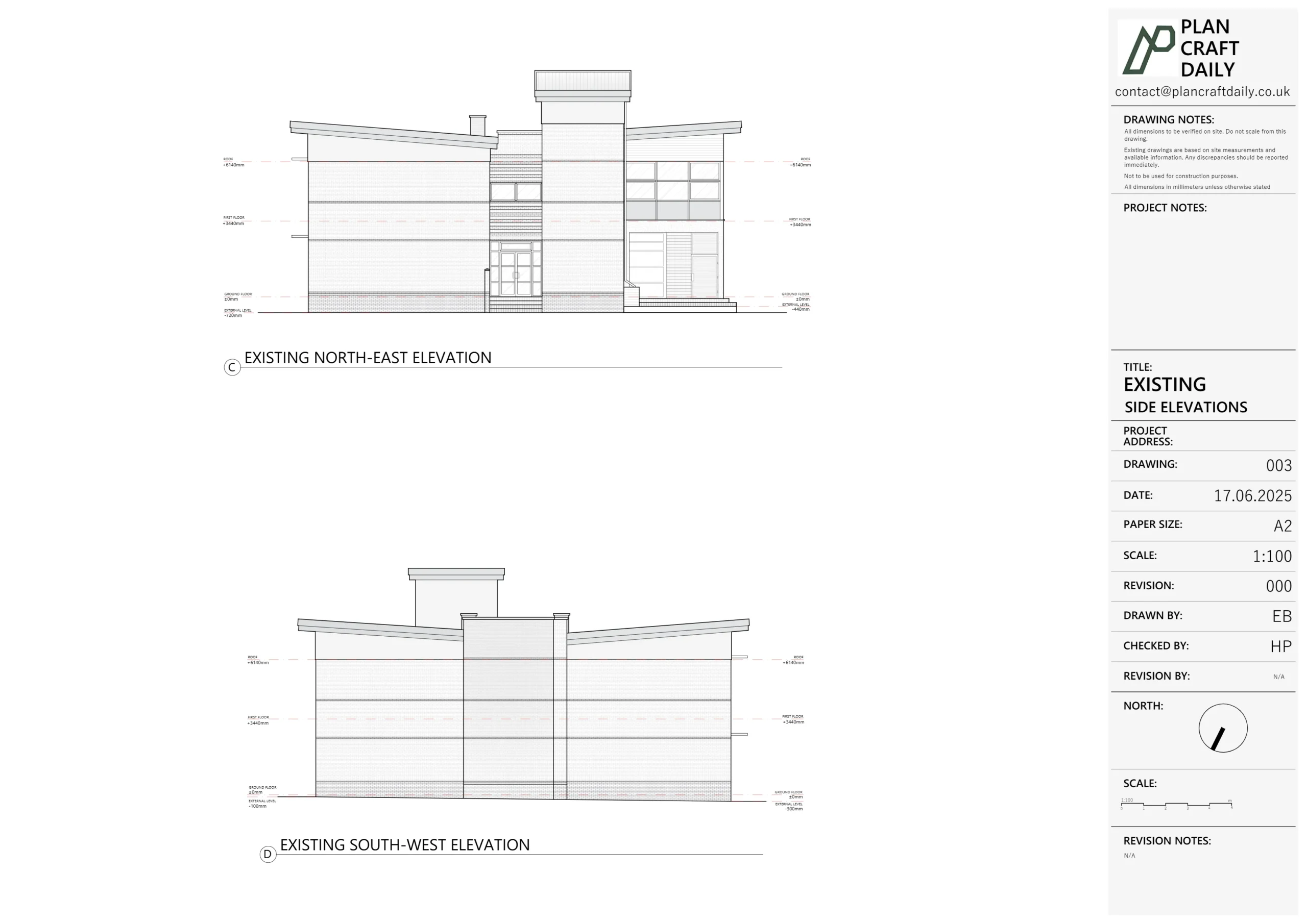
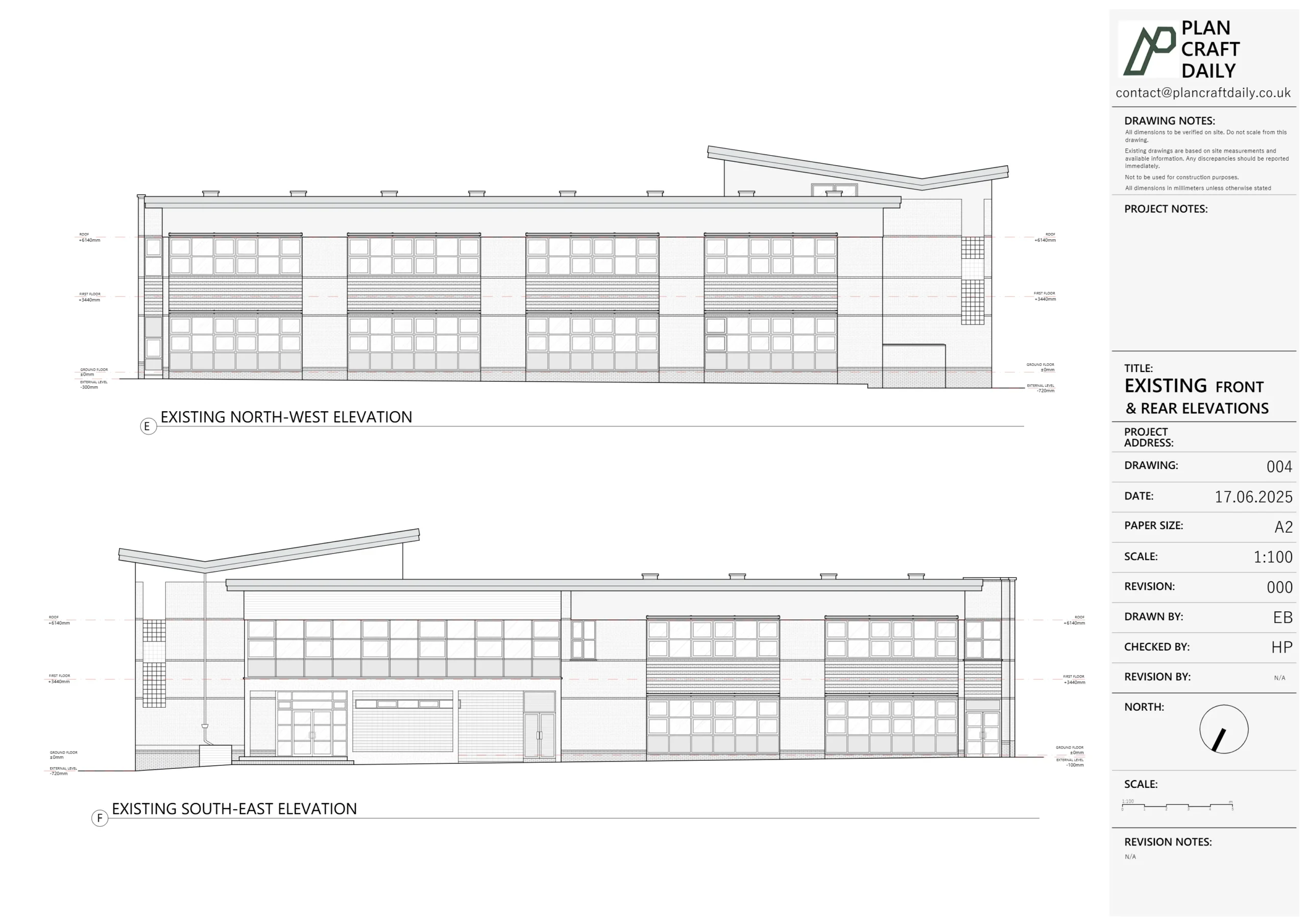
| Existing drawings | Show the property before the proposed work |
| Proposed drawings | Show the planned development |
The architect uses the relevant survey information to produce the planning drawings. The topographical survey does not replace every required application plan.
Should you commission the survey before designing the proposal?
Commission the topographical survey before detailed design when site levels or external features affect the project. Early survey information allows the architect to base the proposal on measured conditions.
This sequence reduces the risk of designing around assumed levels or inaccurate site positions.
A practical order is:
- Define the proposed project
- Ask the architect what survey information is required
- Mark the required survey area
- Agree the survey features, accuracy and deliverables
- Complete the site survey
- Provide the survey files to the design team
- Prepare the planning drawings
- Check the local validation requirements
- Submit the planning application
The survey brief should come from the project’s information needs. It should not be copied from an unrelated development.
How do you brief a topographical survey for planning permission?
Give the surveyor the site address, marked survey boundary, project description and planning team’s information requirements. The brief must identify the features and levels needed for the design and application.
Send the following information:
- The full property address
- A plan marking the required survey area
- A short description of the proposed work
- The architect’s survey specification
- The required ground levels and contours
- The required buildings and structures
- The required visible boundary features
- The required trees and vegetation
- The required roads, access points and paths
- The required drainage features
- The required neighbouring context
- The coordinate and level datum requirements
- The required DWG, PDF or other deliverables
- Site access details
- The design programme
The guide to what is included in a topographical survey provides a detailed scope checklist.
How can Plan Craft Daily help with a planning survey?
Plan Craft Daily provides topographical surveys for planning and design projects across London and the Home Counties. The survey scope can record the agreed site levels, buildings, boundaries, trees, access features and visible drainage information.
Send the property address, marked survey area and your architect’s requirements when requesting a quotation. Plan Craft Daily can then review the scope and confirm the required deliverables.
Visit the topographical survey service page