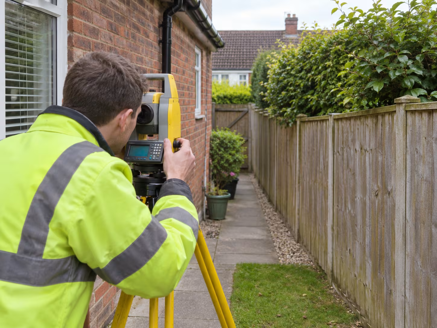
What is the difference between a physical and a legal boundary?
A physical boundary is a visible feature; the legal boundary is the dividing line between properties. The two may correspond, but seeing or measuring a feature does not establish that relationship.
A fence can be surveyed as a fence. Whether the legal division runs along one face, through its centre or elsewhere is a separate question. The same distinction applies to walls and hedges.
HM Land Registry's boundary guidance explains why the legal line cannot automatically be inferred from the feature on the ground. Keep that distinction in mind when asking for a “boundary” to be included in a site survey.
What boundary-related information can a topographical survey record?
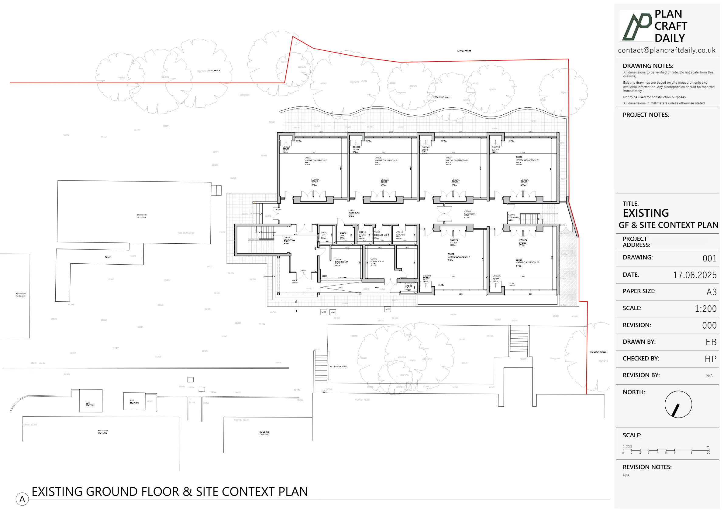
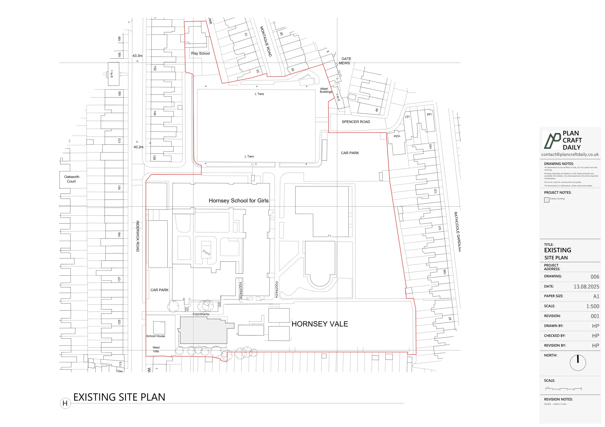
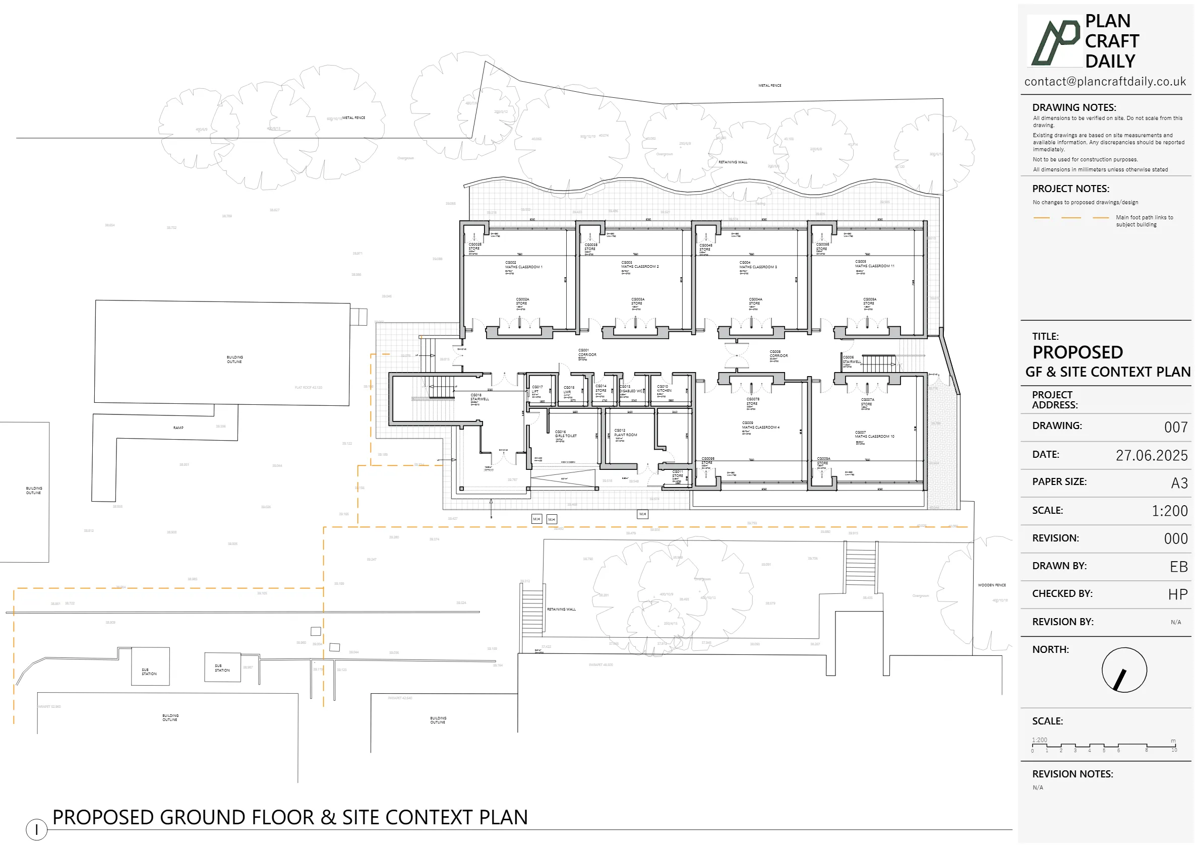
It can record the agreed visible features and their measured relationship to the rest of the site. Depending on the brief and access, that might include a fence line, wall faces, a hedge outline, adjacent paths and relevant ground levels.
Ask the surveyor to identify what the linework represents. “Wall” could be insufficient if the designer needs to know which face was recorded. A broad hedge and a narrow fence also present different recording questions.
The brief should explain which features matter to the project and what the drawings need to show. For general site information, see what a topographical survey includes.
Recording those features gives the designer physical context. It does not turn the drawing into a legal opinion about the property extent.
How does a topographical drawing differ from a title plan?
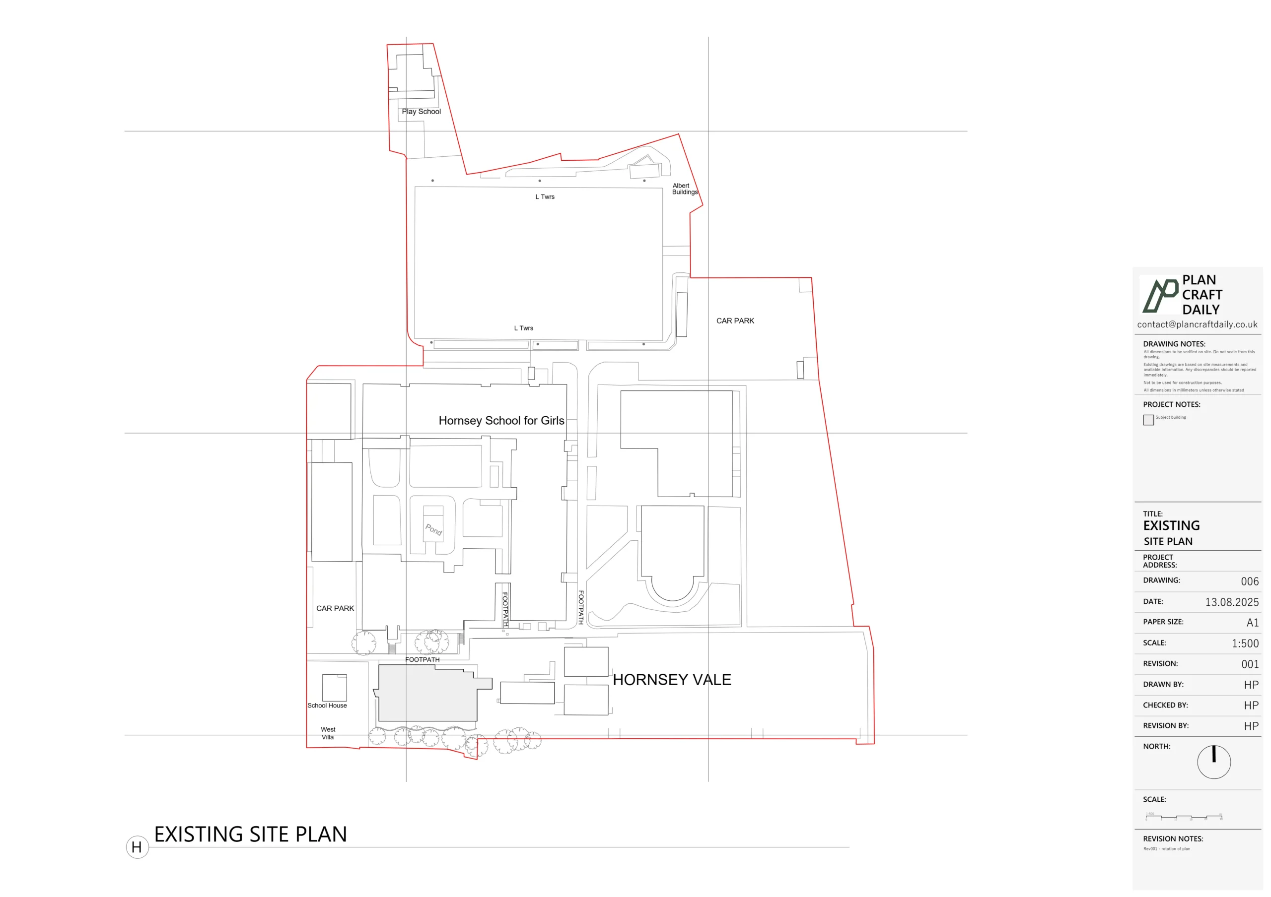
A topographical drawing records surveyed site information; a title plan supports the registered description of land. Read each alongside the notes and documents that explain it.
| Information | Main purpose | What not to assume |
|---|---|---|
| Topographical survey drawing | Show the agreed measured features and levels | Every fence or wall shown is the legal boundary |
| HM Land Registry title plan | Help identify the registered land in relation to mapped surroundings | The red edging is an exact line that can simply be measured on site |
| Title register and relevant deeds | Record and describe legal interests and other relevant information | A single isolated plan contains the whole answer |
| Specialist boundary advice | Assess the particular boundary question using relevant evidence | An ordinary topo survey already includes this work |
HM Land Registry advises reading the register and title plan together, with the relevant lease where applicable. Its guide to reading a title plan explains what the plan can and cannot establish.
Can you measure the legal boundary from the title plan?
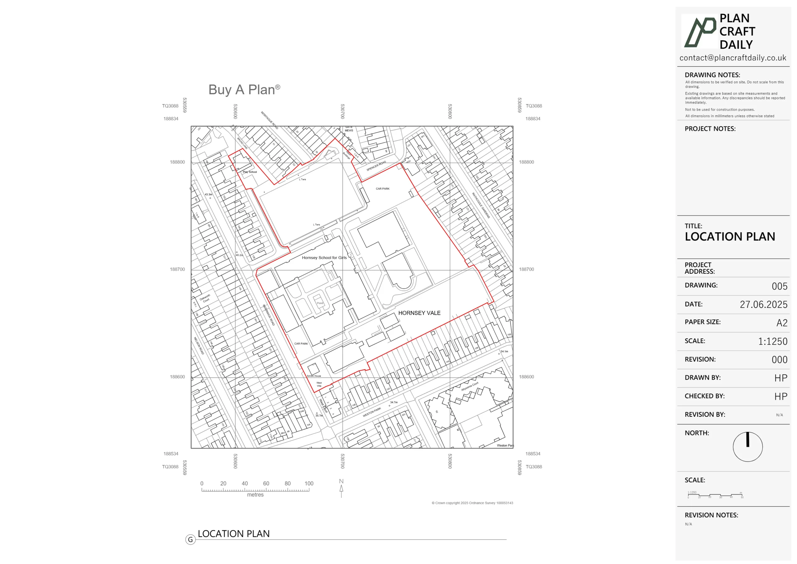
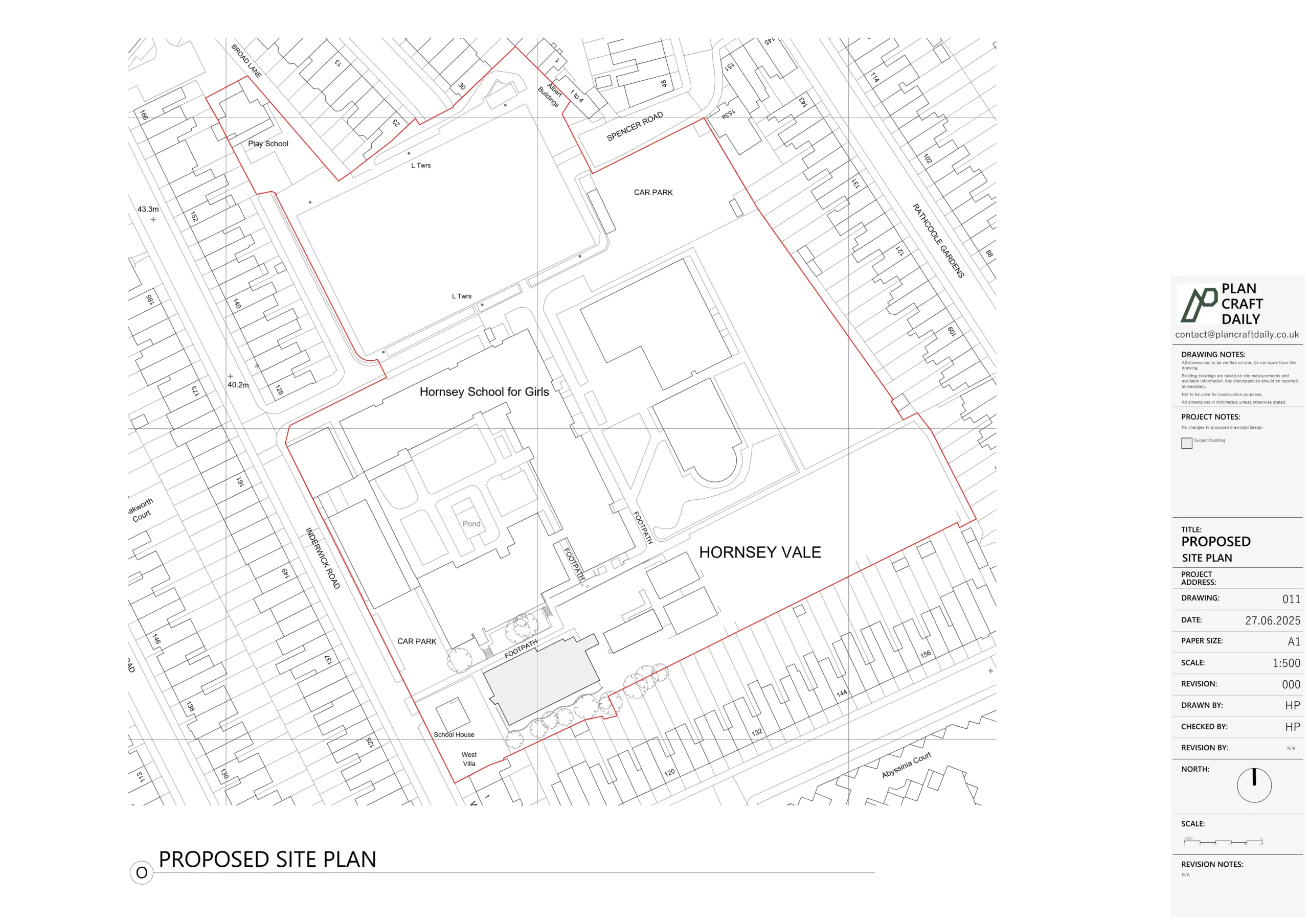
Do not use a measurement scaled from the title plan to locate an exact legal boundary on the ground. Most title plans show general boundaries. The red edging is not a precise setting-out instruction.
Enlarging a digital copy does not add information that the original mapping does not contain. Nor does placing a title-plan image over a detailed survey automatically resolve differences between them.
If your designer notices a mismatch, preserve both documents and ask for the discrepancy to be assessed. Do not redraw the survey fence line simply to make it follow the red edging. HM Land Registry explains these limits in its title-plan guidance.
Does a measured fence position prove who owns the fence?
No. Measuring a feature establishes neither ownership nor responsibility for maintaining it. Its position, appearance or presence on a drawing does not answer those legal questions on its own.
Check the relevant property documents and obtain advice where their meaning is unclear. The GOV.UK property-boundaries overview notes that there is usually no record of who owns the fence, wall or hedge between properties.
When briefing the surveyor, avoid asking them to label a fence “ours” or “the neighbour's” unless the basis for that label has been established through the appropriate process. Describing the feature and recording its position keeps the measured information distinct from unresolved ownership claims.
Can a topographical survey help with a boundary question?
Yes. Measured site information can form part of the evidence considered by a boundary specialist. It can help relate visible features to other information, but its role depends on the particular appointment.
RICS explains how topographical surveys can assist with boundary matters. It distinguishes physical features from the legal questions concerning them.
If the purpose is to investigate a disputed boundary, say so at the outset. Ask a suitably experienced boundary professional and legal adviser what evidence and survey specification are needed. A standard design survey may not have been commissioned to record the particular features or detail they require.
This is also why it is worth asking the specialist to define the measurement brief before commissioning additional work.
What if you are planning an extension beside a fence?
Separate the physical design question from the legal boundary question. The designer may need the distance between the house and fence, while the owner also needs to understand whether the proposed work stays within the relevant legal extent. One measurement does not answer both.
Consider an illustrative side-extension project. A survey records the house, side path and fence. The owner then asks whether the new wall can be positioned directly beside that fence.
The measured drawing helps describe the available physical space. It does not establish ownership of the strip, decide the legal boundary or grant permission for the proposed construction. The unresolved boundary question needs to be passed to the appropriate adviser before the design relies on an assumed line.
The guide to topographical surveys for extensions covers the site information a designer may request. Boundary interpretation needs its own clear brief where relevant.
Is the survey extent the same as the property boundary?
No. The survey extent defines where the survey work is requested; it is not a statement of ownership. A client may request only part of a garden or ask about features outside the immediate development area.
Use a separate outline labelled “requested survey area” when marking up the brief. If legal boundaries are uncertain, state that separately rather than letting the survey-area outline appear to resolve them.
Where the requested information involves neighbouring land, discuss permissions and access. Drawing an outline around an area does not authorise entry or establish that every feature within it can be measured.
For projects involving building and site information, see how to prepare a combined survey brief.
What should you provide when the boundary position is uncertain?
Explain the uncertainty and supply the relevant information without editing away the differences. A useful starting pack for discussion can include:
- The property address and the specific boundary question
- The title register, title plan and relevant deeds or lease documents you hold
- Available survey drawings, with their dates and notes
- Photographs identifying the features in question
- Records of any known changes to those features
- A sketch showing the proposed work and why the boundary matters
Keep originals and clearly distinguish your own explanatory sketch from an official or professional document. Ask the adviser which further records are needed and what the surveyor should record.
A concise enquiry could say: “We need measured site information for an extension, but the position of the legal boundary beside the side fence is unresolved. Please confirm what surveying work you can provide and what should first be specified by a boundary specialist.”
Can you have an exact boundary recorded?
There are formal routes for dealing with boundary information, but they are separate from ordering an ordinary topographical survey. The appropriate route depends on the documents, circumstances and any agreement between the parties.
GOV.UK explains boundary agreements and applications for a determined boundary. Take advice on their suitability rather than assuming a new measured plan automatically changes the registered position.
HM Land Registry also states that it cannot decide or mediate a boundary dispute. Where neighbours disagree, seek advice about the evidence and next steps rather than treating the survey drawing as a decision in either party's favour.
How can Plan Craft Daily help with the measured site information?
Plan Craft Daily can review the topographical survey requirements for your design project. Send the site address, proposed survey extent and required features so the team can confirm the work included in its quotation.
Visit the topographical survey service or send your site brief. If the work depends on resolving a legal boundary, explain that before booking so the measurement brief can be considered alongside the appropriate specialist advice.