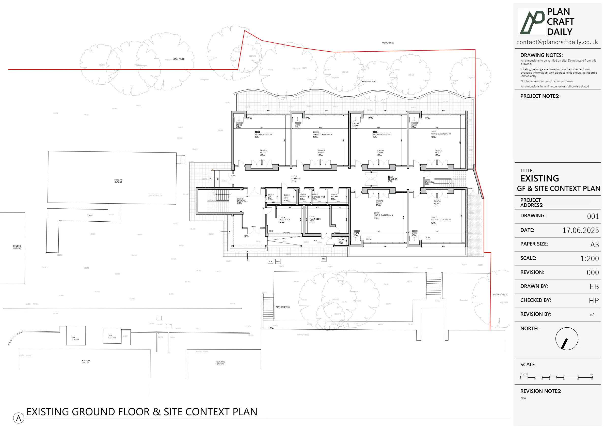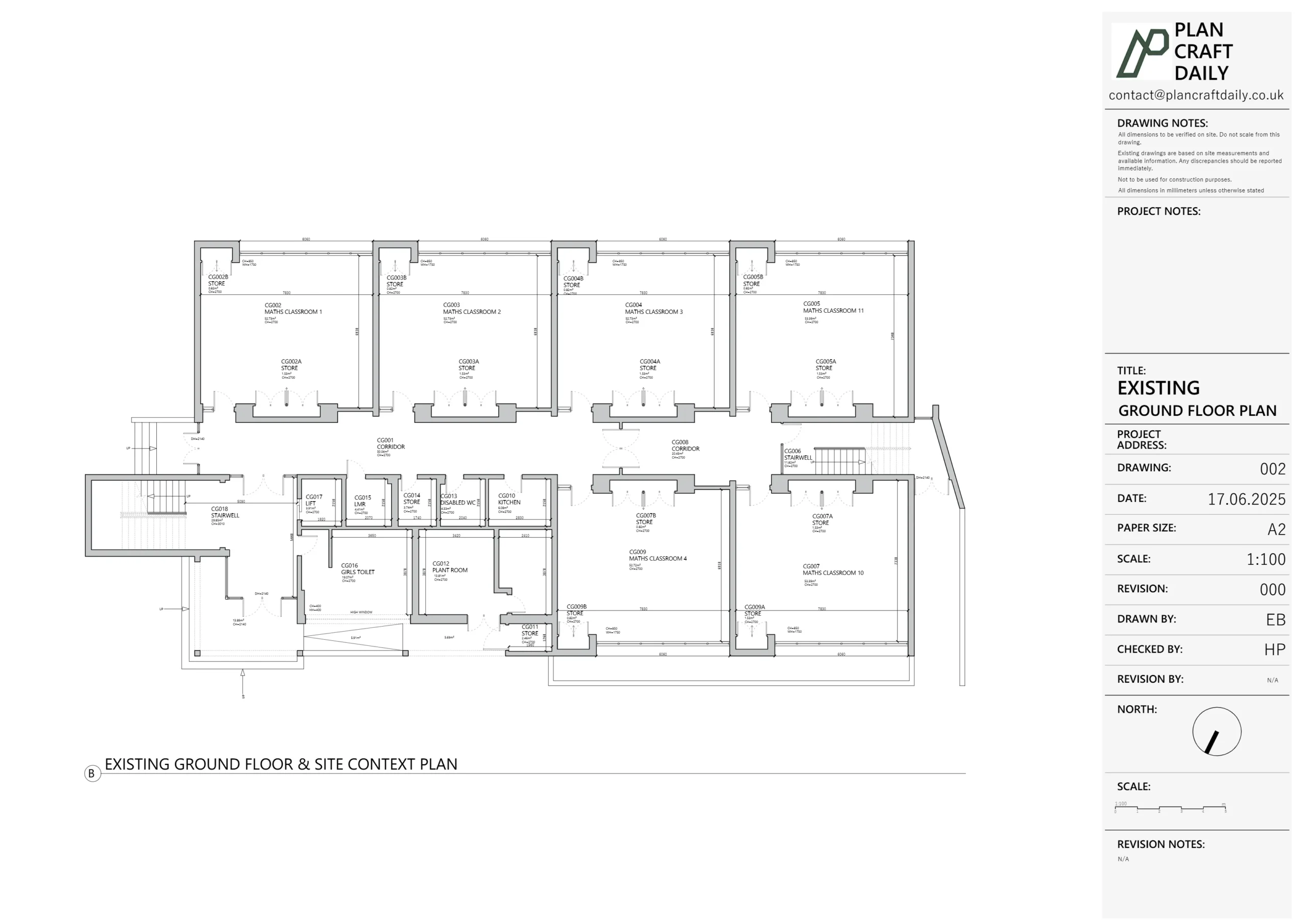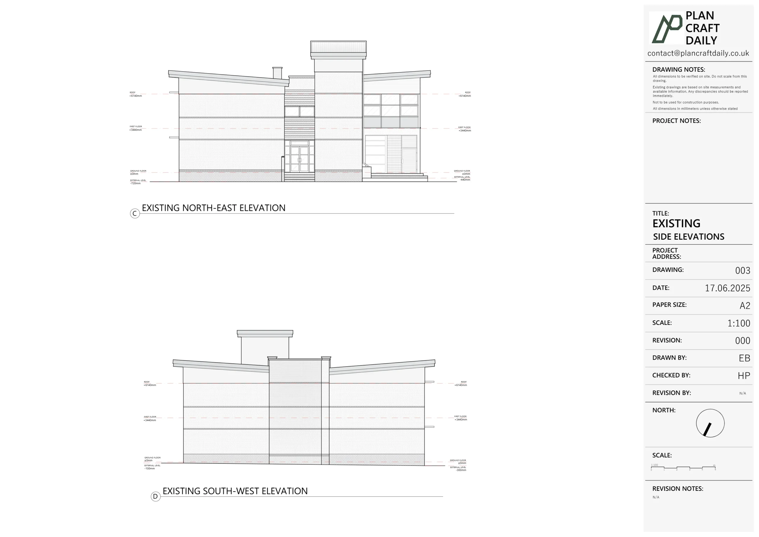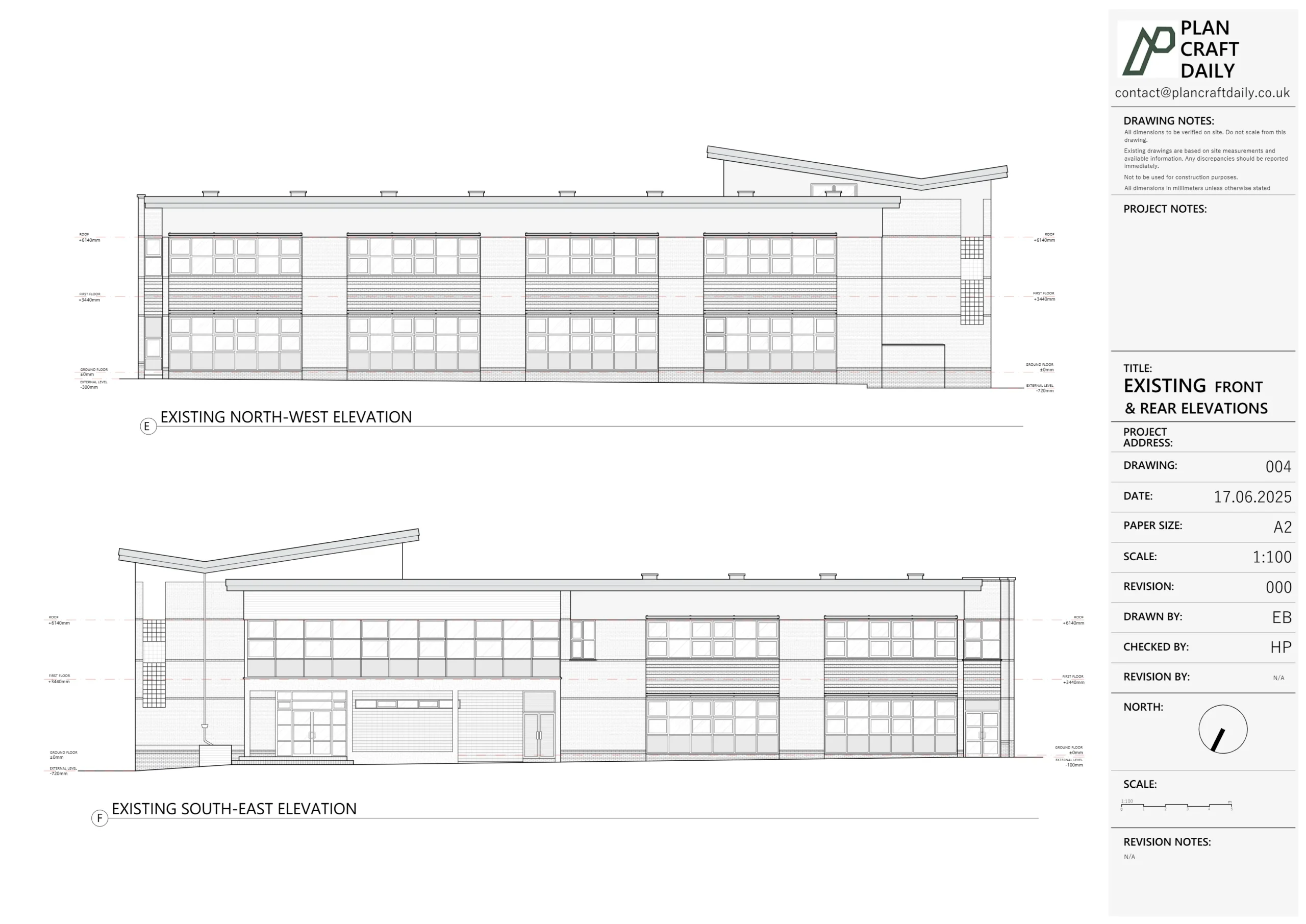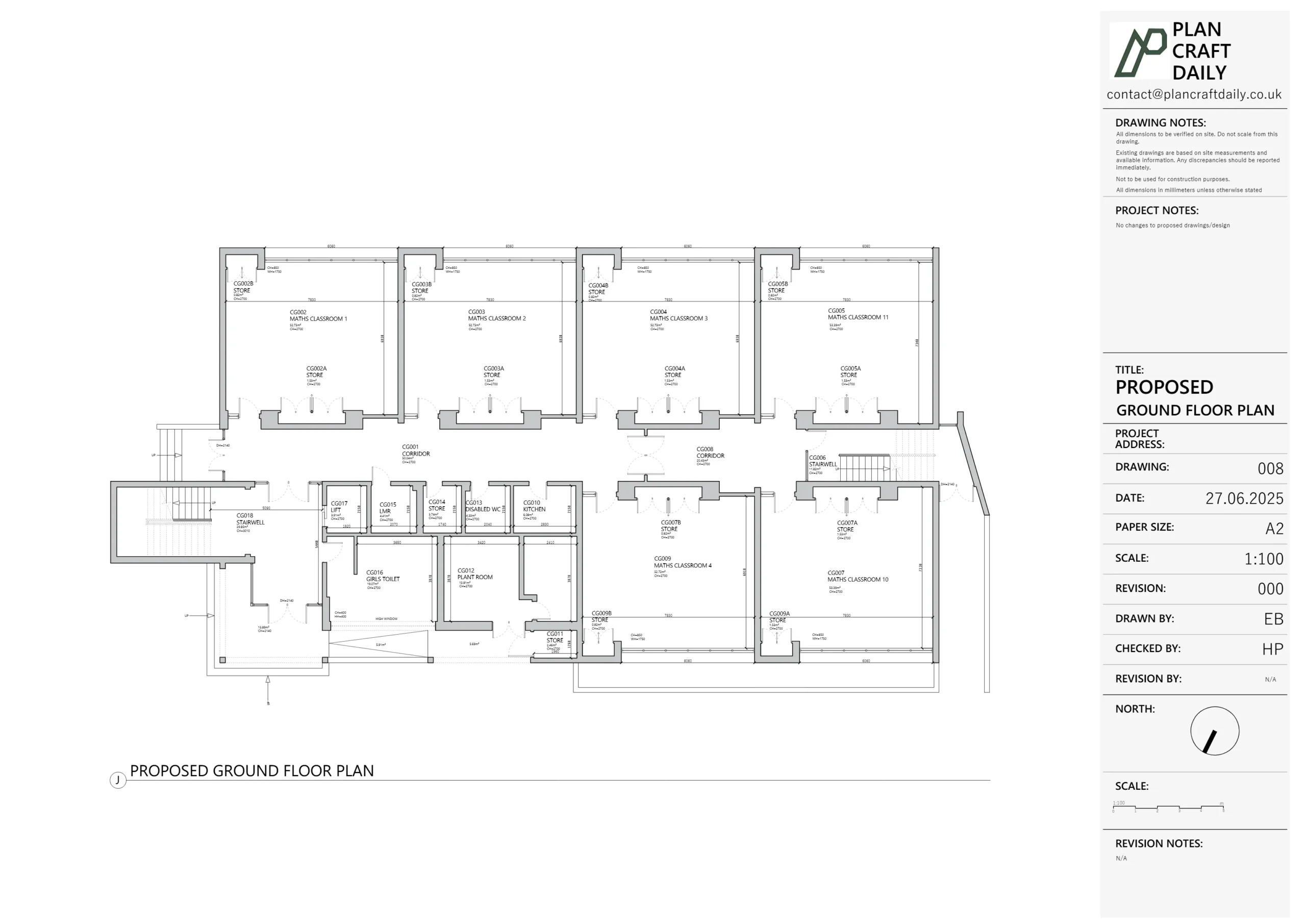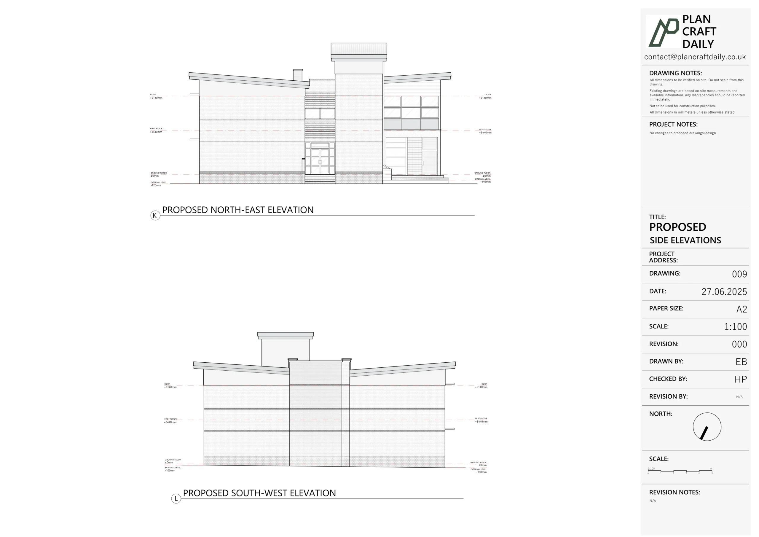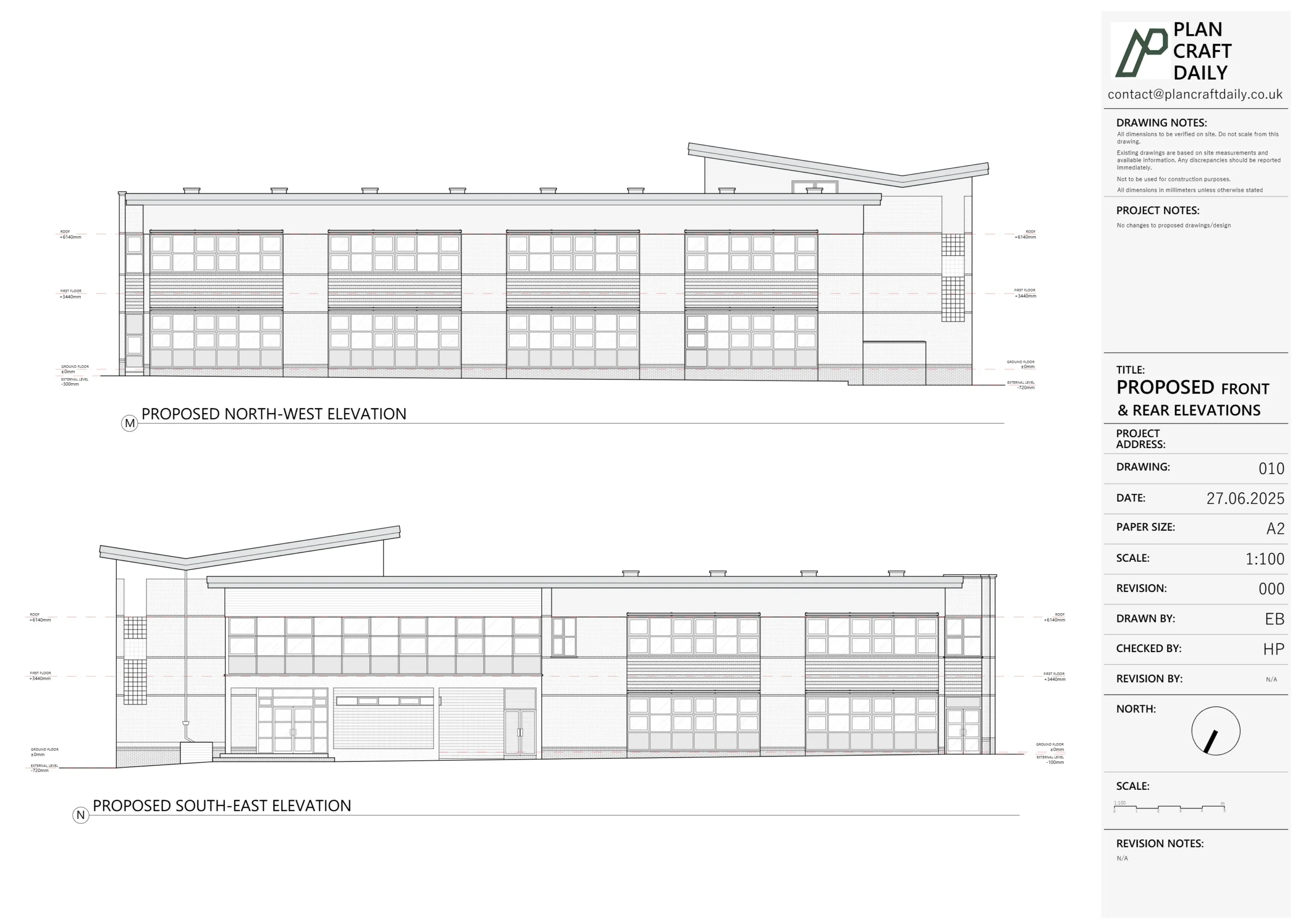
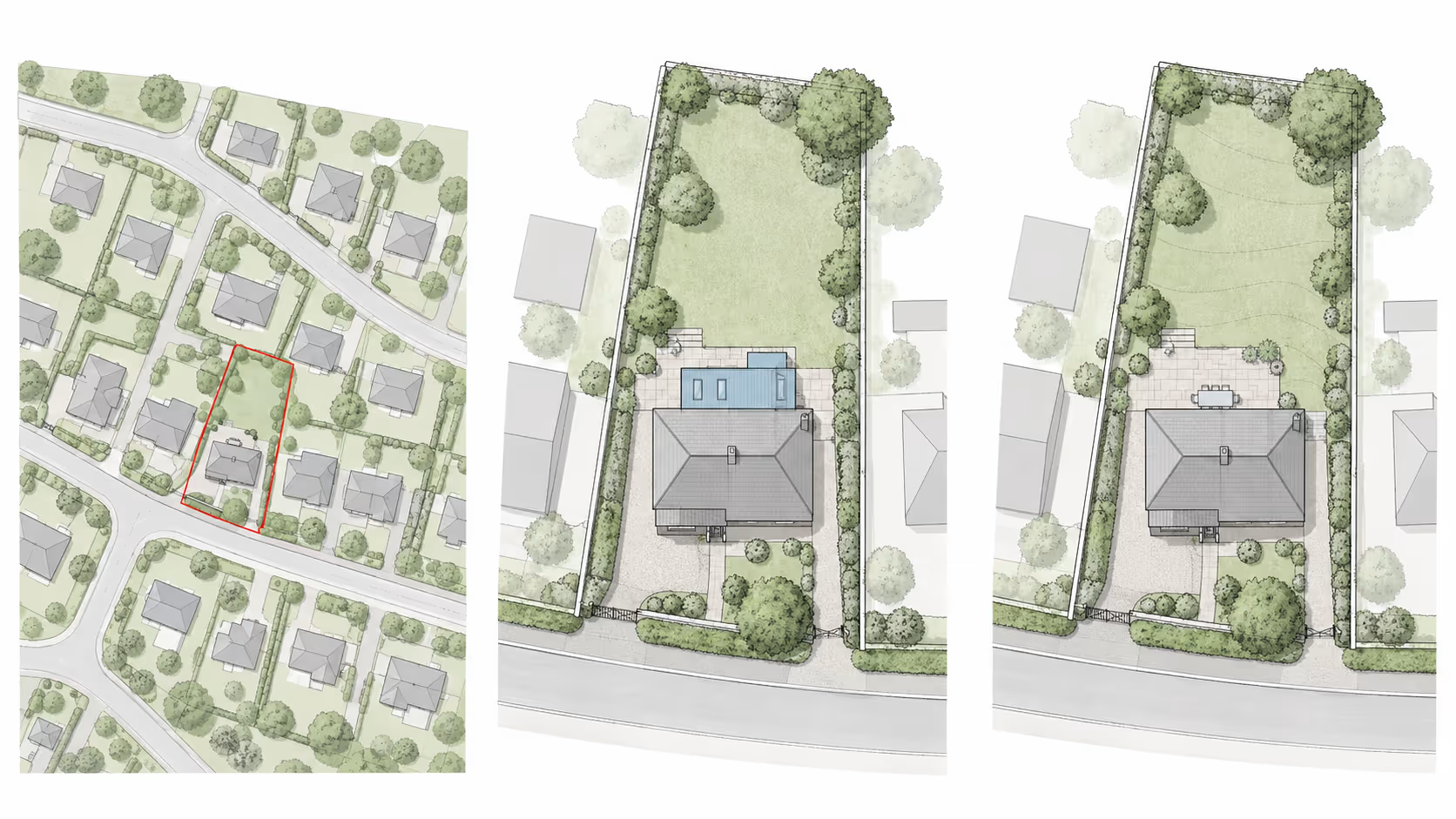
What is the difference between the three?
Location plans and site plans communicate the site and proposal; topographical surveys provide measured information about existing conditions. Start by establishing whether the request concerns a planning document, information for design, or both. Similar-looking plans are not automatically interchangeable.
| Item | Main question it answers | What to clarify before ordering |
|---|---|---|
| Location plan | Where is the application site? | Application extent and the mapping needed |
| Site or block plan | How is the development arranged on the site? | Existing or proposed information, extent and drawing requirements |
| Topographical survey | What site features and levels exist? | Survey area, features, levels and deliverables |
The person asking for the information should identify its intended use. An architect requesting a measured base for design may need something different from an application checklist asking for a site plan.
What does a location plan show?
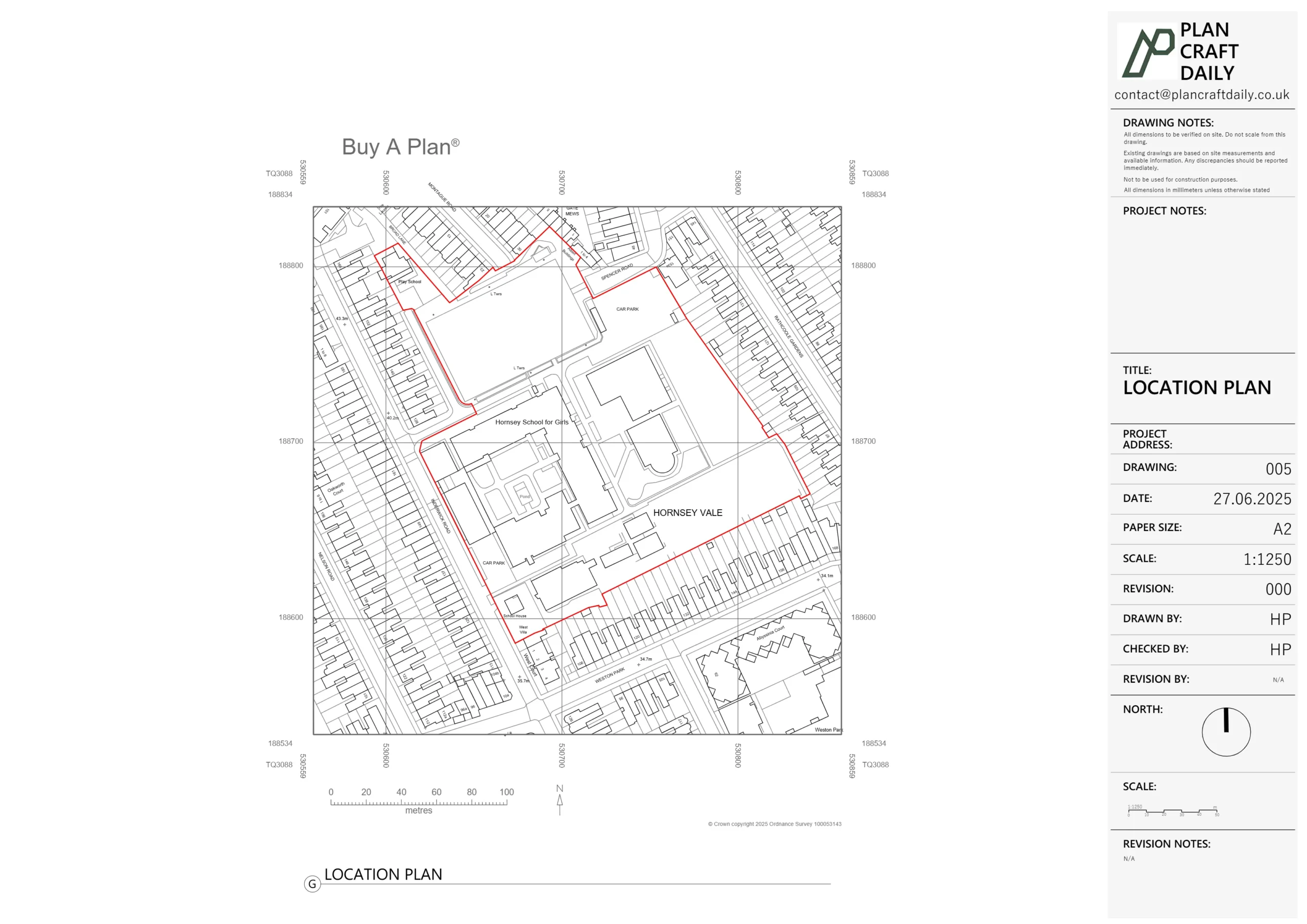
A location plan places the application site within the surrounding area. It needs enough nearby roads or buildings to identify the location clearly. In England, government guidance describes an up-to-date map, typically at 1:1250 or 1:2500, with the application site outlined in red.
The red outline should include the land necessary for the development. Other nearby or adjoining land owned by the applicant is identified in blue. See GOV.UK's guidance on location-plan information.
Use the site address and a clearly marked extent to brief the drawing provider. Ask the person managing the application to confirm that extent before the plan is finalised.
What is a site plan or block plan?
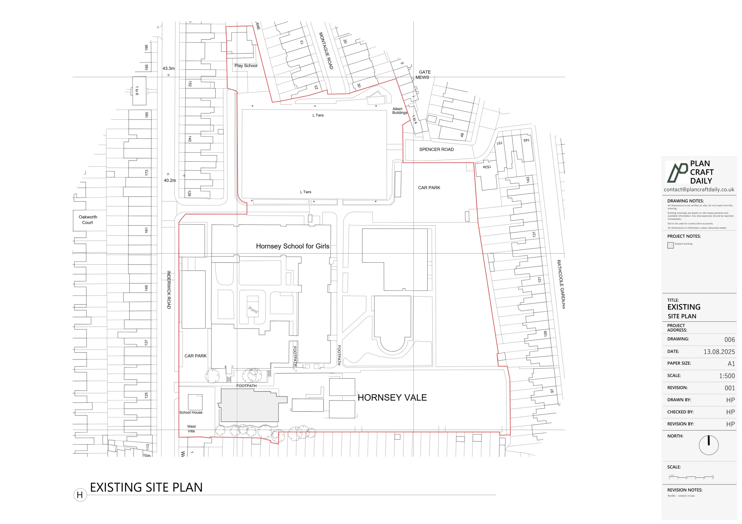
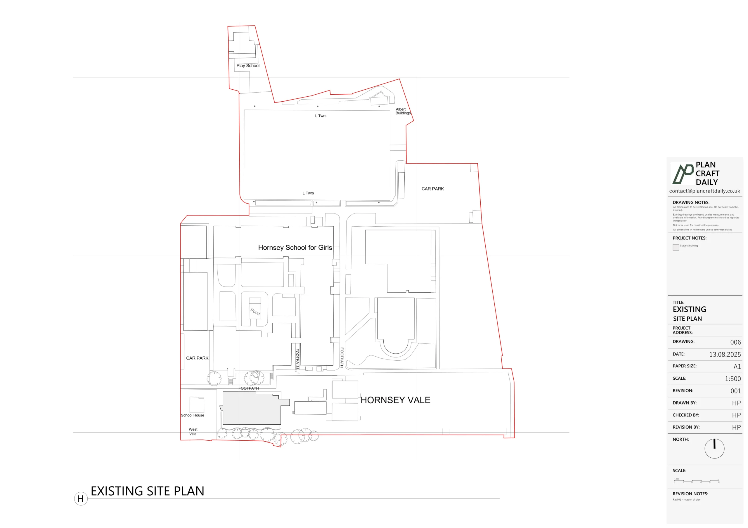
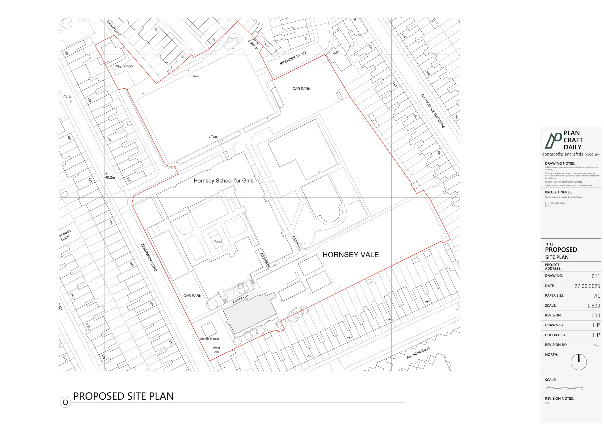
A site plan shows the development in relation to the property boundary and nearby features. “Block plan” is another term commonly used for this type of application drawing. It provides a closer view than the location plan, typically at 1:200 or 1:500.
Planning Portal identifies building positions, other buildings within the boundary and adjacent streets among the information shown. Its location-plan and site-plan guidance explains the distinction.
Confirm whether the request is for an existing site plan, a proposed site plan or both. Also ask whether the design team needs measured dimensions or levels to prepare it. The name “site plan” alone does not explain the source or completeness of that information.
What does a topographical survey record?
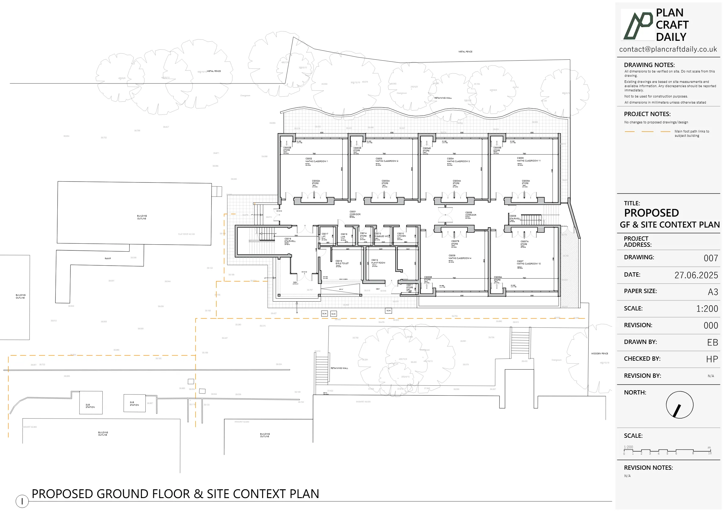
A topographical survey records the positions and levels of the external features included in the agreed brief. It supplies information about the land as surveyed, giving the design team a measured base rather than a drawing of what is proposed.
The agreed scope can include:
- Building outlines
- Ground spot levels and contours
- Paths, patios and driveways
- Steps and retaining walls
- Visible walls, fences and gates
- Trees and hedges
- Manhole covers, gullies and other visible drainage features
- Relevant floor or threshold levels
A spot level is the measured height of a particular point relative to a reference level. Contours join points of equal height and help describe the shape of the ground.
Read what is included in a topographical survey for a fuller scope explanation. The brief determines which features and outputs are required; not every job includes the entire list.
Is a topographical survey the same as a proposed site plan?
A topographical survey records existing site information; a proposed site plan shows an intended change. The designer can use the survey as a base, then add the proposed building footprint, access arrangement or other relevant design information.
A survey of a garden might record the patio, steps and ground levels. It does not decide where a new extension should go or what its floor level should be. Those are design decisions made using the information available.
Keep survey information and proposed work distinguishable in the drawing set. The reader needs to understand which features were measured and which show a future design.
Can you use a topographical survey instead of a location plan?
Do not assume that a survey drawing satisfies a request for a location plan. It may focus closely on the property and omit the wider mapping context or application markings. Ask the person preparing the submission to check it against the requested document.
The issue is the content and purpose of the finished drawing, not how much technical detail it contains. A detailed measurement of a garden does not necessarily help someone identify the property within the surrounding street network.
Survey information can contribute to a wider drawing package, but each required document still needs to answer its own question.
Does a site plan remove the need for a topographical survey?
A site plan removes no information requirement merely by existing. The design team needs to check whether its source supplies the dimensions and levels required for the project. A plan showing an outline and boundary features may not describe the ground adequately.
Look for gaps such as:
- Missing ground levels around a proposed extension
- Unrecorded steps or retaining walls
- An outdated building outline
- Unclear relationships between doors, patios and the garden
- Drainage features that have not been located
A map-based plan can be appropriate for its intended application purpose while still lacking site measurements needed for detailed design. Discuss the missing information rather than ordering a survey solely because the existing drawing has a particular title.
When might a project need all three?
A project can need all three where an application needs site drawings and the design depends on measured external information. The documents then perform connected roles: identifying the site, explaining the proposal and providing the existing measurements behind the design.
Consider an illustrative rear extension beside a sloping garden:
- A location plan identifies the application site.
- A topographical survey records the agreed garden levels, patio, steps and other relevant features.
- The designer uses that information to develop the proposal and prepare the required site drawing.
The internal arrangement and building elevations may require a measured building survey as well. See measured building survey vs topographical survey for that separate distinction.
This example explains how the information can fit together. It is not a fixed survey package for every extension.
Does every planning application need a topographical survey?
A topographical survey is not a universal requirement for every planning application. Check what information the proposal needs and what the local authority requests. Design requirements can also justify measured site information independently of the application checklist.
In England, the application process includes national requirements and relevant local information requirements. GOV.UK explains how these operate in its planning application guidance. Planning requirements elsewhere in the UK need to be checked against the relevant jurisdiction.
For a more detailed discussion of survey needs, read topographical surveys for planning permission. Keep the distinction clear: a requirement for a particular drawing does not, on its own, specify every measurement needed to produce it.
Does a red line or surveyed fence prove the legal boundary?
Neither an application outline nor a measured fence line should be treated as proof of the exact legal boundary. A survey records visible features. Legal-boundary interpretation can involve the register, deeds and other evidence beyond what is visible on site.
HM Land Registry explains that its title plans usually show general boundaries rather than an exact legal line. See its guidance on boundaries and boundary disputes.
Tell the project team about known boundary uncertainty before it positions proposed work. The survey drawing should not be used to settle an ownership question it was not commissioned to investigate.
What should you check on a plan before using it?
Check the drawing's identity, purpose, source and revision before relying on its detail. A file name such as “site plan final” is not enough. The sheet and accompanying brief need to explain what the information represents.
Check:
- The correct property and project
- Whether it shows existing or proposed information
- The date and current revision
- Scale, sheet size and north direction
- The source of the underlying geometry
- Survey date and extent, where applicable
- Notes about inaccessible areas or unverified information
- The coordinate and level references where drawings will be combined
Drawings from separate sources need coordination before they are overlaid. The design team should resolve inconsistent positions or heights instead of assuming that similar-looking plans share the same reference system.
For survey-specific notation, read how to read a topographical survey drawing.
What should you ask before ordering a plan or survey?
Ask what the document must show and who will use it. That gives the drawing provider or surveyor a clearer brief than a document name alone. Forward the architect's request or the relevant application checklist where available.
Useful questions include:
| Question | What it clarifies |
|---|---|
| Is this for an application, design development or both? | The intended use |
| Do you need existing information, proposed information or both? | The drawing's role |
| Which area needs to be shown or measured? | The extent of the work |
| Are measured ground or threshold levels required? | Whether level information is missing |
| What existing mapping or survey information can be used? | The source material |
| Which scale and file formats are required? | The final outputs |
| Are there access restrictions or neighbouring features to record? | Practical limits on collection |
The topographical survey cost guide explains why the extent and detail of the survey affect a quotation.
How can Plan Craft Daily help with the site information?
Plan Craft Daily provides topographical surveys to record agreed external features and levels. Send the address, the required survey area and your designer's information request. Include existing plans so the team can understand the brief and identify what needs recording.
For information about the building itself, the measured-survey scope can be discussed alongside the external requirements. The drawing set and outputs are agreed for the individual project.
Visit the topographical survey service page or send your site information for a quote.