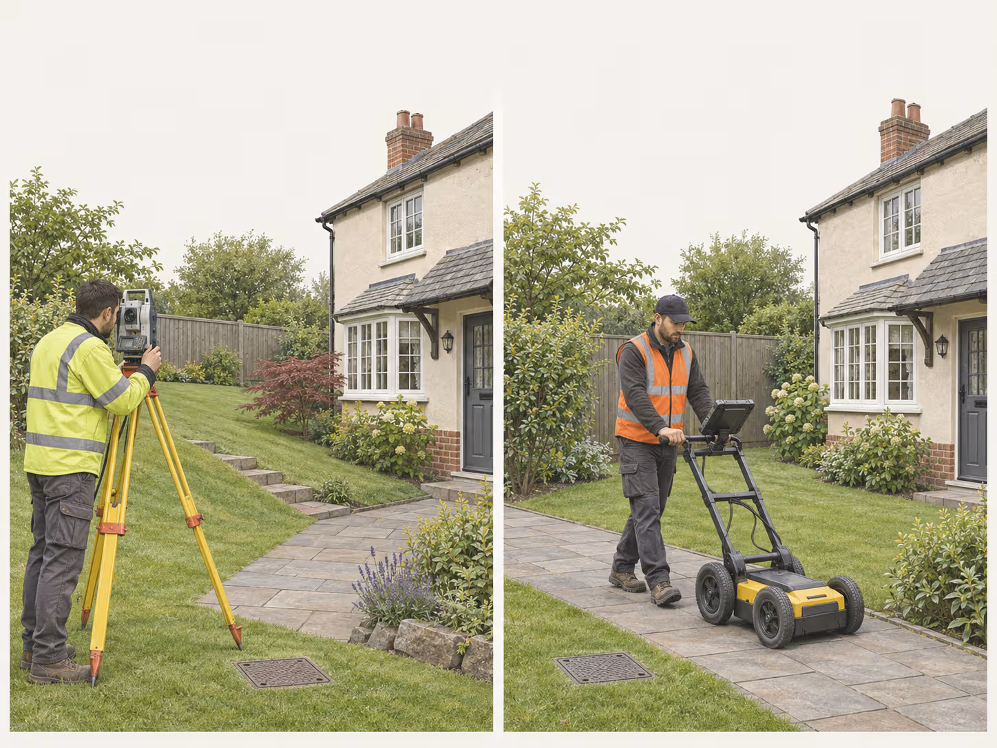
What is the main difference between the two surveys?
The main difference is the information each is commissioned to provide. A topographical brief focuses on the land and its features. A utility brief addresses buried services and the evidence available about their location.
| Question | Topographical survey | Utility survey |
|---|---|---|
| What is its main purpose? | Record the site's measured surface arrangement and levels | Investigate the location of underground services |
| What might appear on the drawing? | Buildings, paths, walls, trees, ground levels and visible service features | Service information supported by records, site investigation and the agreed survey methods |
| Does a cover symbol establish the connected pipe route? | No | The route depends on the investigation and its findings |
| Does the name alone define the complete scope? | No; extent, detail and outputs need agreement | No; investigation type, coverage and reporting need agreement |
| What should the customer clarify? | Which features and levels the designer needs | What service information is needed and how it will be established |
The distinction is about the brief, not simply whether two layers appear in the same CAD file. A combined drawing should still make the source and meaning of its information clear.
What does a topographical survey record around a property?
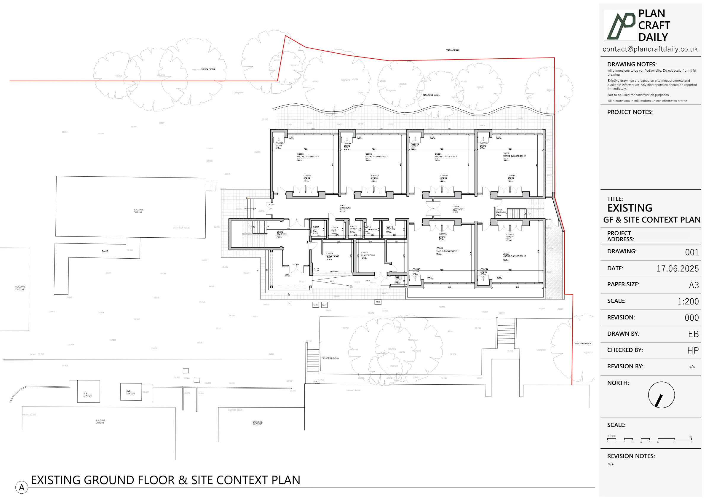
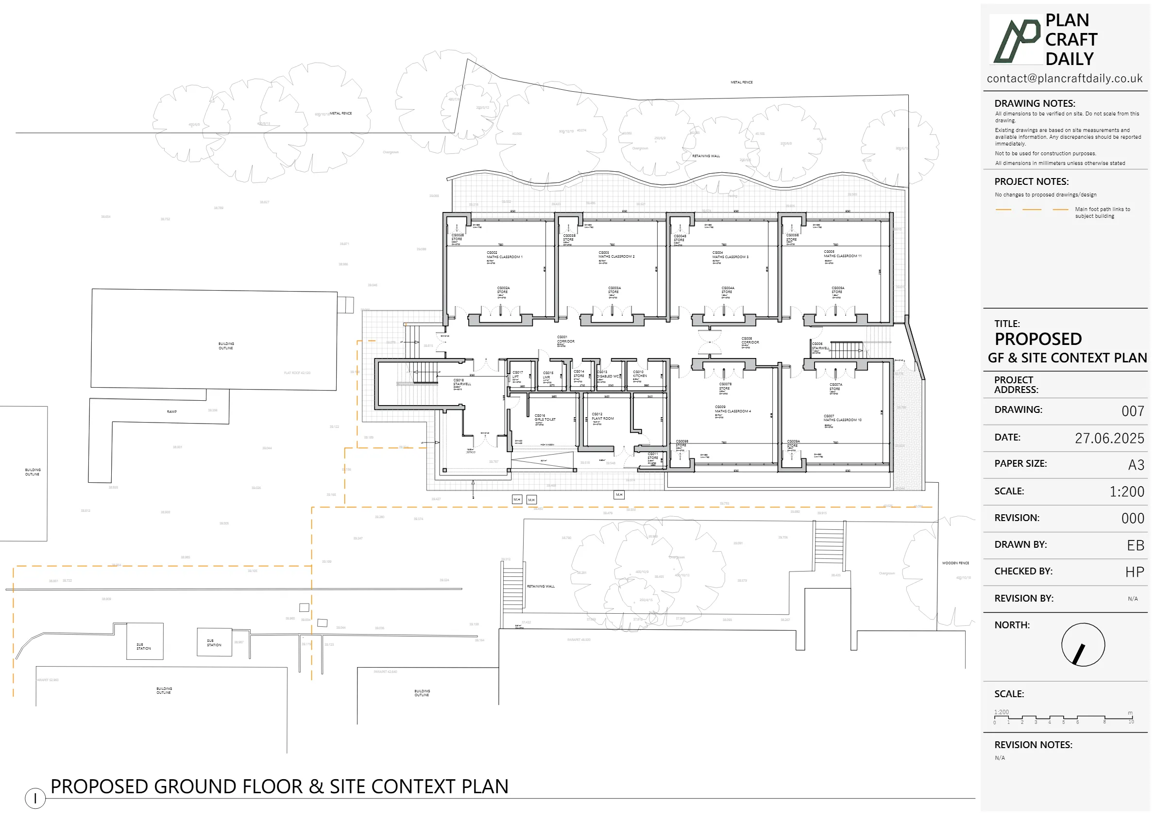
A topographical survey can record the ground levels and visible features needed for a design. Depending on the agreed scope, these may include paths, steps, walls, building outlines, trees, inspection covers and other surface features.
For a rear extension, the designer might need the relationship between the house, patio and garden. For a driveway project, the relevant questions could concern the entrance, kerb and changes in ground level. The survey area and required detail should follow those questions.
The guide to what a topographical survey includes explains the usual briefing considerations. Visible drainage or utility features can form part of that record, but their inclusion does not mean every underground connection has been investigated.
Does a manhole cover on the plan show where the drains run?
A cover symbol identifies the recorded surface feature; it does not, by itself, prove the route of a connected drain. Read the legend and accompanying notes to understand what the surveyor has actually recorded.
Consider a drawing showing two covers on opposite sides of a garden. Joining those symbols with a line would introduce an assumption unless the connection had been established and recorded. The information accompanying the drawing should explain whether any shown connection comes from a record, observation or other investigation.
When the proposed work depends on drainage information, ask the designer to list what is needed. For example, they may ask about connections or levels that go beyond locating the covers. Pass that request to the relevant provider and confirm what is included rather than expecting it to follow automatically from a topo survey.
Our guide to reading a topographical survey drawing explains why the drawing notes and legend matter alongside the symbols.
What does the term “utility survey” include?
A utility survey needs a defined investigation scope; the label alone is not enough. Ask the provider to explain the work behind the proposed drawing and how the findings will be reported.
The specification may involve reviewing available records, inspecting surface evidence, carrying out detection work or arranging verification at selected locations. These activities provide different kinds of evidence. Confirm the agreed work rather than treating all utility quotations as equivalent.
BSI's PAS 128 specification addresses underground utility detection, verification and location, including the classification of survey information. If a quotation refers to PAS 128, ask which survey types and outputs it includes and what limitations remain. The phrase is not a promise that every buried feature will be found.
Keep the discussion tied to your project: which area is being investigated, what decisions depend on the result and who will use the information?
Are utility records enough on their own?
Existing service plans are useful reference information, but they should not be treated as exact proof of the location of buried services. Give available records to the project team and keep their source, date and notes attached.
The Health and Safety Executive's guidance on underground services explains that plans indicate service locations and need to be used alongside appropriate locating work. A drawing is one part of the information needed to plan work safely.
For the customer arranging surveys, the practical question is: “Does this quotation include reviewing records only, or does it also include work on site?” Ask for a clear answer before comparing prices.
Is a utility survey the same as a drainage condition survey?
Do not assume that locating services includes assessing their condition. If your concern is a blockage, damaged pipe or the performance of an existing drainage system, explain that problem explicitly and ask what investigation addresses it.
Different project questions can sound similar in an enquiry:
- “Where is the visible cover?”
- “Where does this service run?”
- “What does it connect to?”
- “What condition is it in?”
Write down the actual question before selecting a survey name. Ask the provider to identify which questions their work will answer and which require a separate appointment. This makes the brief easier to assess and the quotation easier to understand.
When might a project need both topographical and utility information?
A project may need both when the design depends on the surface layout and underground services. The designer or engineer should identify the required information for the proposed work.
For example, a designer planning changes to an entrance could need measured site levels while also needing to understand services within the work area. A topographical drawing can provide the surface context, with utility information obtained under the appropriate separate scope.
That does not mean every extension or garden project needs the same survey package. Start with the design requirements and existing information. The guide to topographical surveys for extensions explains when external site information becomes relevant.
If different providers are involved, ask who will coordinate the information and check that the drawings can be used together. Avoid leaving that responsibility unspecified between appointments.
What should you compare in survey quotations?
Compare the defined work, not just the service name or total price. A quotation that covers surface features cannot be compared directly with one that also includes a separate underground investigation.
Before accepting a quotation, confirm:
- Purpose: what decision the information must support
- Extent: the area to be covered, shown on a plan where possible
- Included work: the recording or investigation activities proposed
- Access: which areas need entry and what restrictions apply
- Outputs: drawings, accompanying information and file formats
- Limitations: how unavailable or uncertain information will be identified
- Coordination: who brings together information from different providers
- Additional requirements: what is outside the quoted work
If two quotations differ, ask the providers to explain the scope difference before deciding that one offers the same work for less.
What should you send when requesting a quote?
Send the site address, a plan of the proposed work area and a description of the information your designer needs. Include existing drawings, available service records and photographs that help explain the site.
A useful initial enquiry might read:
We are planning alterations within the area outlined on the attached plan. Our designer needs current ground levels and the visible site features. Please confirm the topographical survey scope and identify whether any requested underground-service information would require a separate utility investigation. The attached records are reference documents; we have not confirmed their accuracy on site.
This is an illustrative enquiry, not a technical survey specification. Add the designer's actual requirements before asking providers to price the work.
Does having a survey mean it is safe to excavate?
A survey drawing is not permission or clearance to excavate. The people responsible for the work must plan it using appropriate information, competent investigation and the necessary precautions. HSE's underground-services guidance sets out the importance of planning, locating services and safe working practices.
Keep the issued survey notes with the drawing and pass unresolved questions to the responsible project team. An unmarked area should not be interpreted as confirmation that nothing is buried there.
How can Plan Craft Daily help with the site information?
Plan Craft Daily can review the topographical survey information required for your project. Share the site plan and designer's brief so the team can confirm the surface features, levels and drawing outputs included in its quotation.
Visit the topographical survey service or send your site requirements. Where the project also needs underground-service information, agree that scope and its provider separately.