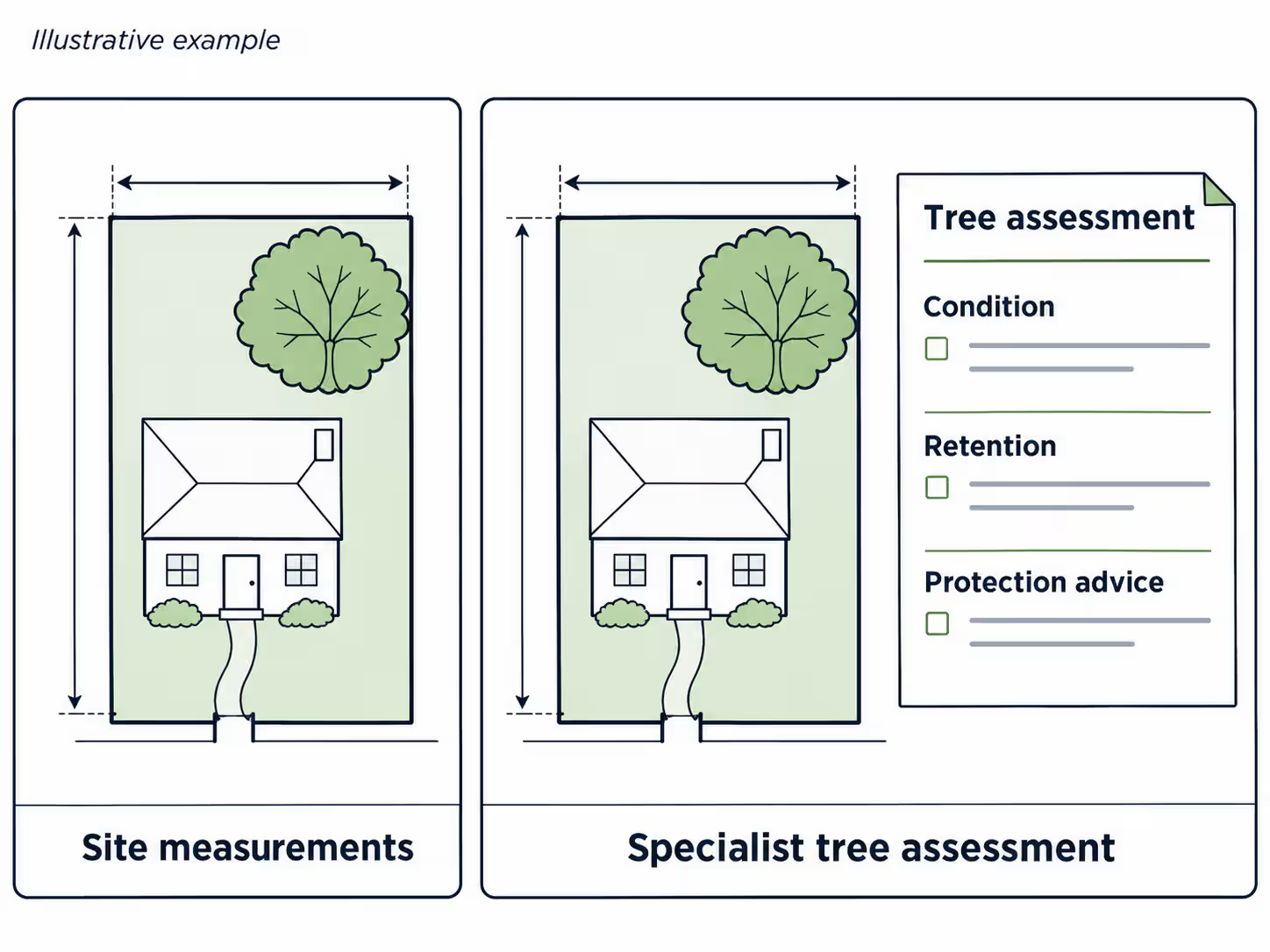
What is the difference between the two surveys?
They answer different questions. The topographical survey establishes the measured site arrangement. The arboricultural work considers the trees and their implications for the project.
| Question | Topographical survey | Arboricultural work for development |
|---|---|---|
| Where is the tree in relation to the building and other site features? | Records its position where included in the brief | Uses a suitable base plan to relate tree information to the site |
| What physical tree detail is recorded? | The measurements expressly included in the survey scope | Tree information needed for the specialist assessment |
| What is the tree's condition or retention value? | A plotted symbol does not answer this | Assessed by the arboricultural specialist |
| How could the proposal affect trees? | Supplies measured site information | Considered through the relevant arboricultural assessment |
| What protection measures are appropriate? | Not established simply by plotting the tree | Addressed through the specialist advice and agreed documentation |
Stafford Borough Council's guidance separates the topographical survey, tree survey, impact assessment and protection plan. This is a useful illustration of the different roles; the precise documents needed for your application should be checked with your project team and local authority.
Why are trees included on a topographical drawing?
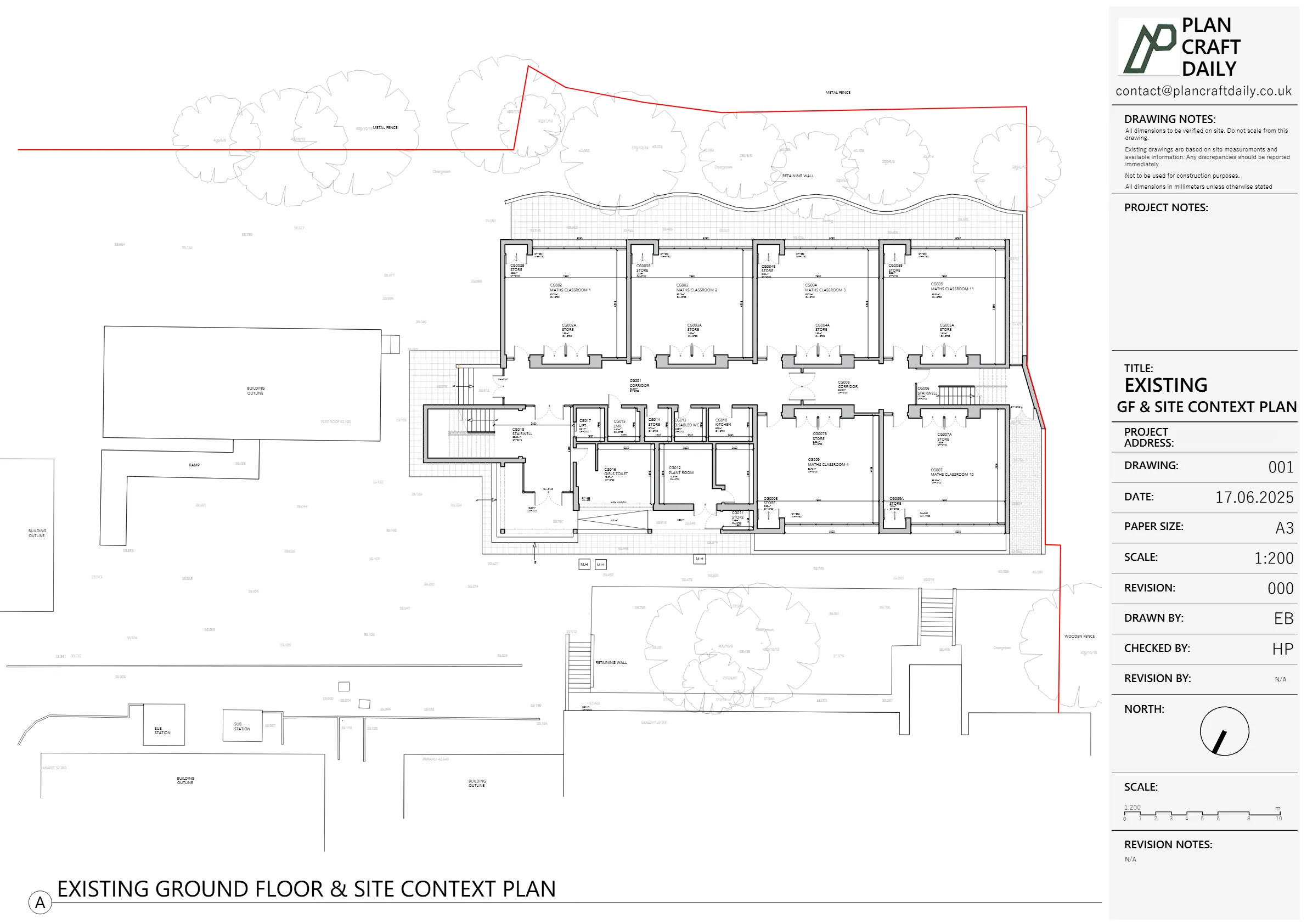
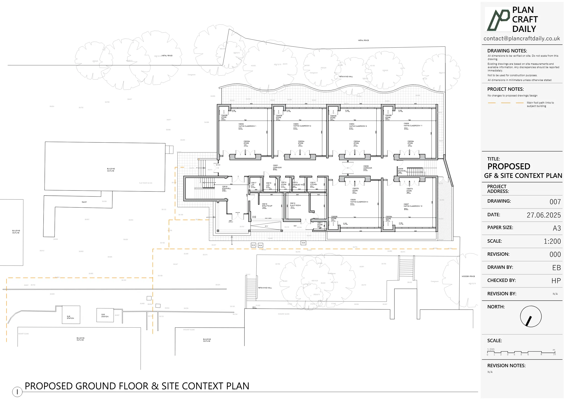
They help place the rest of the site in context. A tree near an access route, proposed extension or garden wall may be important to the layout being considered. Its position needs to relate to the building and other features on the same plan.
The required tree measurements should be agreed in the brief. Avoid treating a symbol's appearance as proof of how much was measured: a neat circular canopy on a drawing does not, by itself, explain the survey method or the detail behind it.
Ask the surveyor what the tree information will contain and how it will be labelled. If your arboricultural consultant needs particular measurements or identifiers, pass those requirements on before the topographical visit.
Our guide to topographical survey inclusions explains how tree recording fits within the wider site survey.
What does an arboricultural survey add?
It adds specialist assessment that cannot be inferred from the tree's location. This may include information about species, dimensions, condition and suitability for retention, together with the constraints relevant to development.
Leicestershire's highway design guidance distinguishes site information, including levels and neighbouring trees, from the tree information to be collected and assessed by an appropriately qualified and experienced arboriculturist. It is guidance for that authority's highway context, rather than a blanket specification for every house project. See its tree survey guidance.
When requesting advice, explain the actual proposal. “I need information for an extension beside these trees” is a different enquiry from “I am worried about the condition of this tree.” Ask the specialist which service and documents address your concern.
Is a canopy outline the same as a root protection area?
No. The canopy outline and the root protection area represent different information. Do not use the visible spread of branches as your own excavation or construction limit.
Mid Devon's planning checklist asks for both canopy spread and root protection areas on a tree constraints plan. It also identifies the role of an arboricultural survey and appraisal. See the council's tree survey and report requirements.
For your project, ask the appointed specialist to explain which lines on the drawing are measured tree features and which represent assessed constraints. If a contractor receives the drawing, the legend and notes need to make that distinction understandable too.
Do trees outside your boundary matter?
They may, so show your designer and arboriculturist the full situation. A tree does not have to stand inside the proposed building footprint to be relevant to the assessment.
Mid Devon's checklist explicitly addresses trees on adjoining land. The local requirements for your own application still need checking; there is no reason to invent a fixed distance that applies to every site.
As a practical briefing step, mark nearby trees on a location sketch and provide photographs from places you can access. Explain which trees are outside your control. These references help the specialists discuss the survey extent; they do not replace the required measurements or assessment.
Do not promise access to neighbouring land unless it has actually been arranged. Ask how any access limitations will be recorded and whether they affect the proposed work.
Which survey should be arranged first?
Start by agreeing the information needs with the designer and arboriculturist. A suitable measured base plan can then support the specialist work. If a topographical survey already exists, send it for review before booking another one.
A sensible coordination sequence is:
- Share the proposed works and any existing site drawings with the project team.
- Ask the arboriculturist which trees and surrounding features need to be covered.
- Agree the topographical extent, requested detail and drawing format.
- Make the resulting base plan available to the specialist.
- Check that tree identifiers and drawing revisions are consistent across the issued information.
The sequence may change to suit access or the information already available. The important point is to agree the handover, rather than commission two surveys independently and discover that they use incompatible references or cover different areas.
What does this look like on a small extension project?
The site survey and tree assessment should contribute different information to the same design decision. Consider this illustrative example:
A homeowner wants an extension beside a mature tree. They already have a drawing showing the house and a tree symbol. The architect needs to establish what that symbol represents: a measured position, an approximate indication or information copied from an older plan.
The arboriculturist also needs an appropriate basis for assessing the proposal. The team reviews the existing information, agrees any missing survey work and coordinates the resulting drawing with the tree documentation.
The homeowner should not have to judge the tree's significance from a photograph or estimate a protection area themselves. Their useful contribution is to provide the records, explain the proposal and help arrange access.
This is an example of the briefing process, not a recommendation for a particular building position or a completed Plan Craft Daily project.
How do you avoid paying twice for the same information?
Share the existing files before agreeing additional work. A current, suitable topographical survey may already provide the base information the arboriculturist needs. Conversely, an old plan with a few tree symbols may leave important gaps.
Ask the team to identify those gaps by item. For example: the survey stops short of a relevant tree, the drawing is available only as a PDF, or the tree references cannot be matched to the accompanying schedule. Each problem has a different solution; none automatically means the whole site must be surveyed again.
Give both providers the same project description and ask what they expect to receive from the other. Include drawing file formats and revision references in that discussion. This is particularly useful when the site layout changes during design.
What should you include in your enquiry?
Explain the proposed work and share any specialist survey requirements you already have. Include:
- The site address and a marked plan of the area under consideration.
- Existing site drawings and their survey dates, if known.
- The proposed extension, access, landscaping or other works.
- Photographs showing relevant trees and their relationship to the site.
- The arboriculturist's requested measurements, references and file format.
- Known access restrictions and any relevant neighbouring trees.
For a landscaping project, our topographical survey for garden design guide covers the wider site information to discuss alongside the tree work.
Get the measured site information your team needs
Plan Craft Daily provides topographical surveys to an agreed brief. Share your designer's or arboriculturist's requirements so we can review the requested site measurements and prepare a quote. Specialist tree assessment should be arranged with the appropriate arboricultural professional.