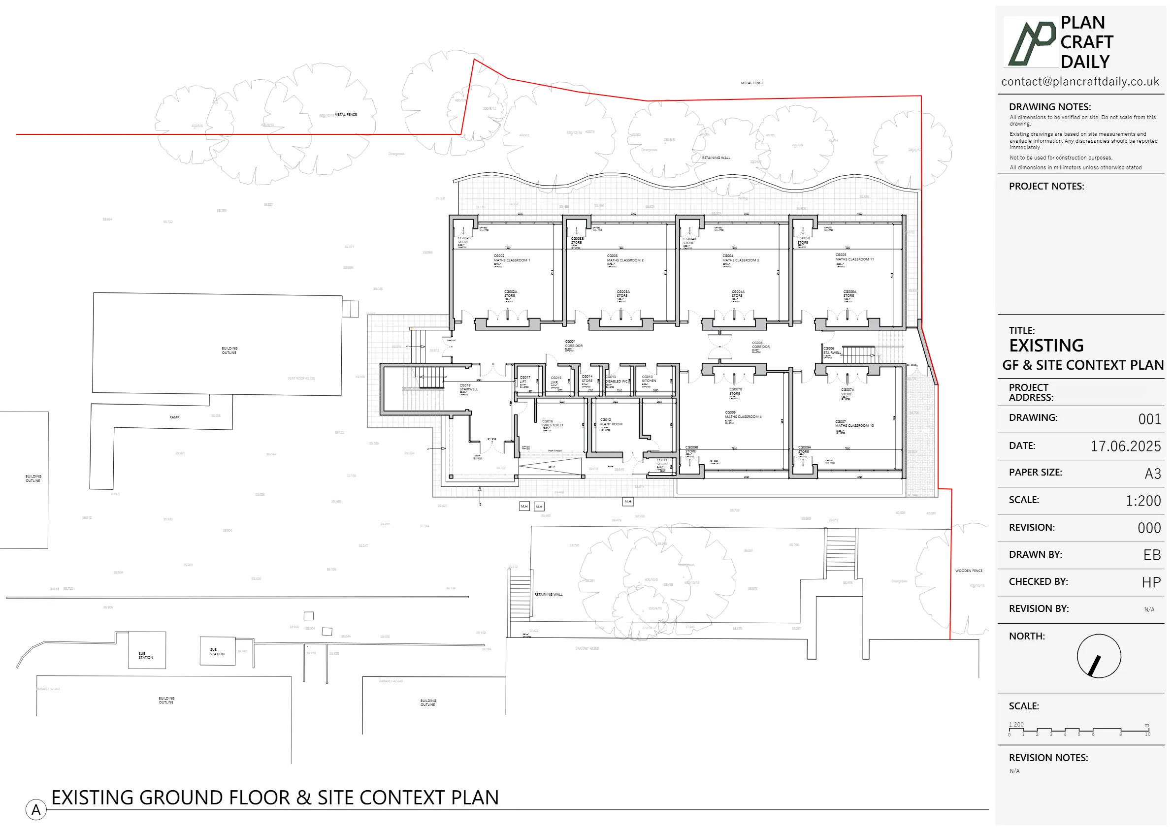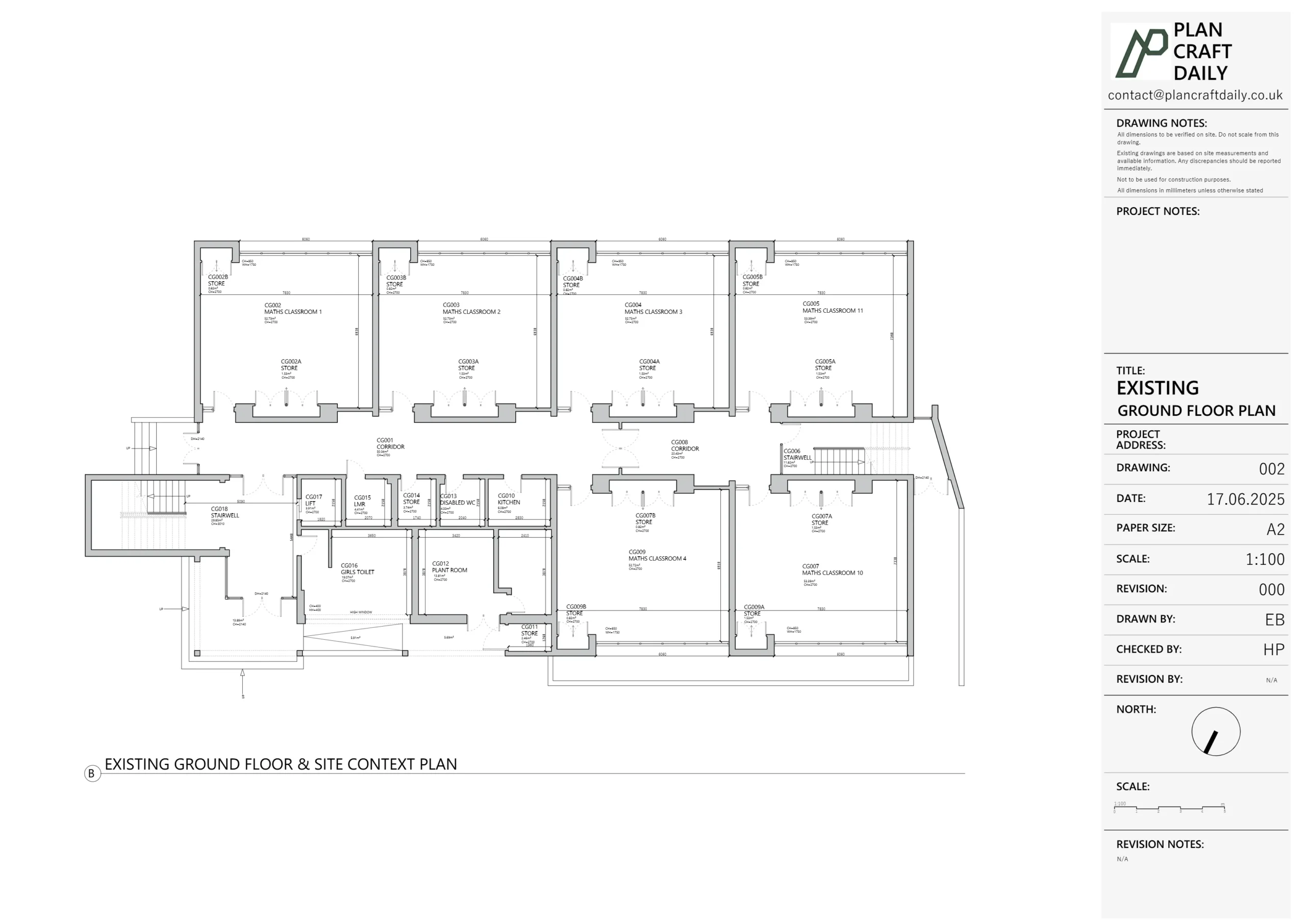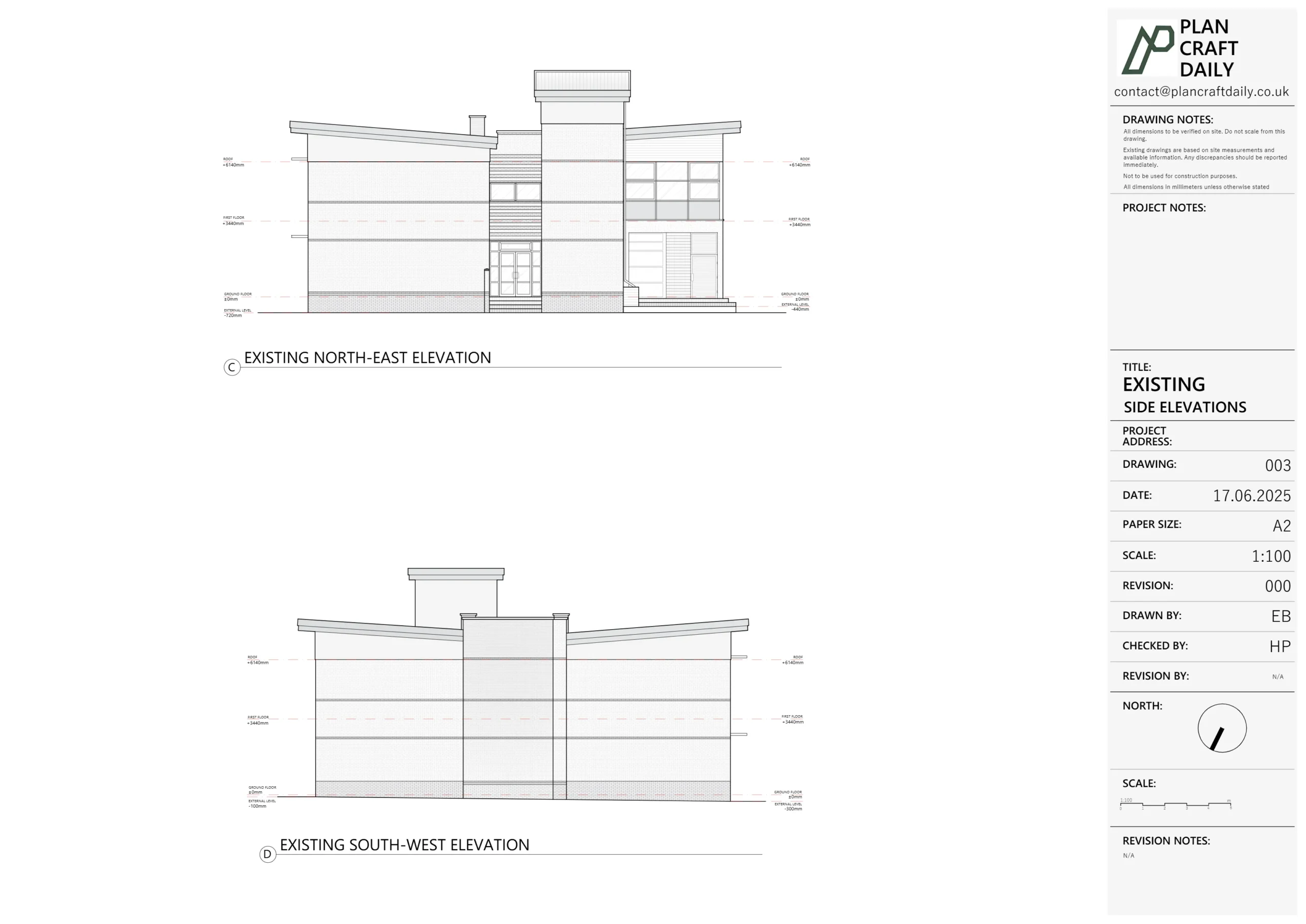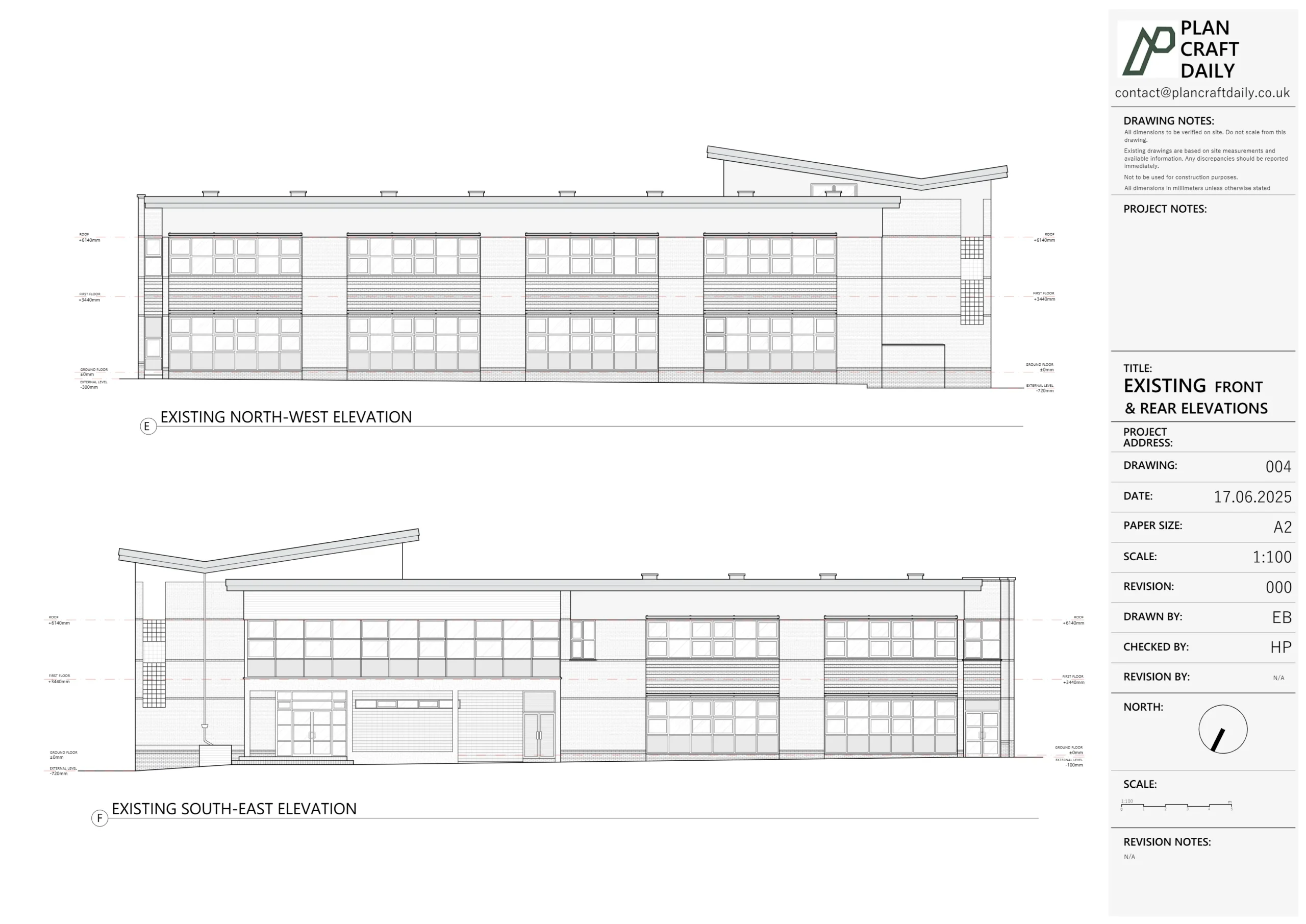
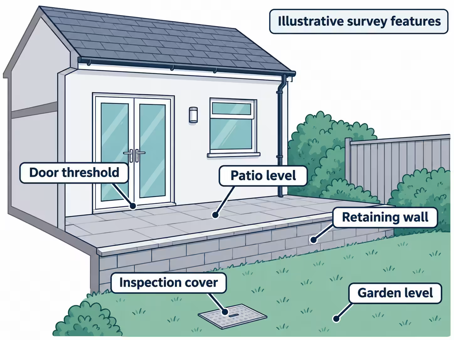
Why does a drainage designer need site levels?
Levels let the designer compare the heights of the places that matter to the project. These may include a building threshold, the adjoining paving, a low point in the garden and a potential discharge location.
Imagine replacing a stepped patio with one continuous surface. A photograph shows the arrangement, but it does not provide the measured height relationship between the door, the patio edge and the surrounding ground. Those relationships need to be understood before the new surface and its drainage are designed.
The survey records the existing situation. The designer then decides what changes are appropriate, using the survey alongside any other required information.
If you are unfamiliar with the drawing notation, our guide to reading a topographical survey explains spot levels and contours.
Which features should the survey brief include?
Ask the designer to identify the features and levels needed for the drainage decisions, rather than requesting a generic site plan. The following is a useful discussion checklist, not a promise that every item is included in a standard quotation.
| Information to discuss | Why the designer may want it | What to clarify in the brief |
|---|---|---|
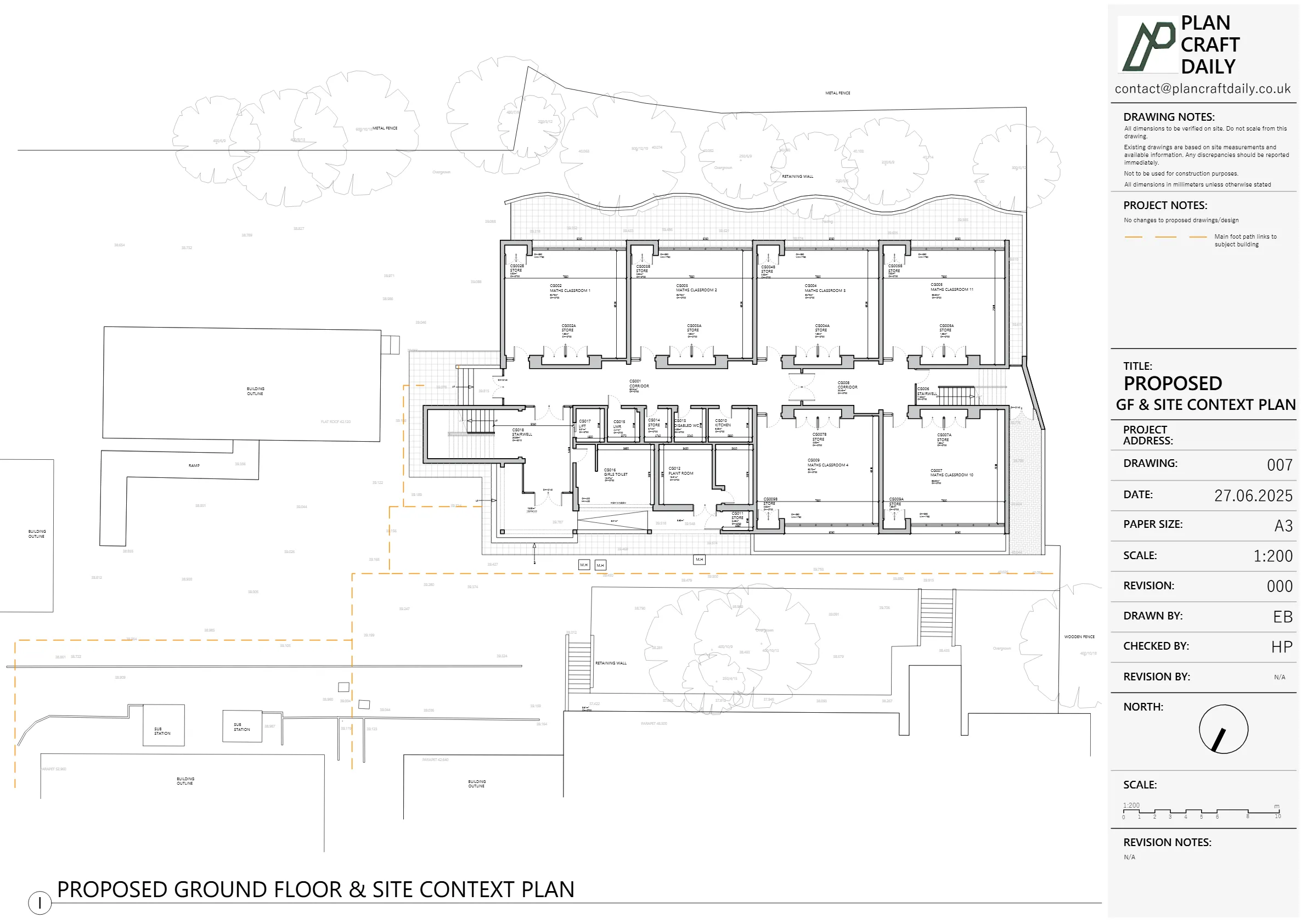
| Ground and paving levels | To understand the existing surface arrangement | Survey extent and the detail needed around changes of level |
| Door thresholds and relevant floor levels | To relate external proposals to the building | Which entrances or internal reference points need recording |
| Steps, kerbs and retaining walls | To understand interruptions and edges in the site layout | Which top and bottom levels are needed |
| Visible gullies, channels and inspection covers | To locate existing surface drainage features | Whether the task is surface recording or includes further investigation |
| Ditches or watercourses relevant to the proposal | To provide context for the designer's assessment | Required extent, sections, access and any separate permissions |
| Adjoining ground or road features | To understand the relationship beyond the immediate works | Whether they fall within the agreed survey and accessible area |
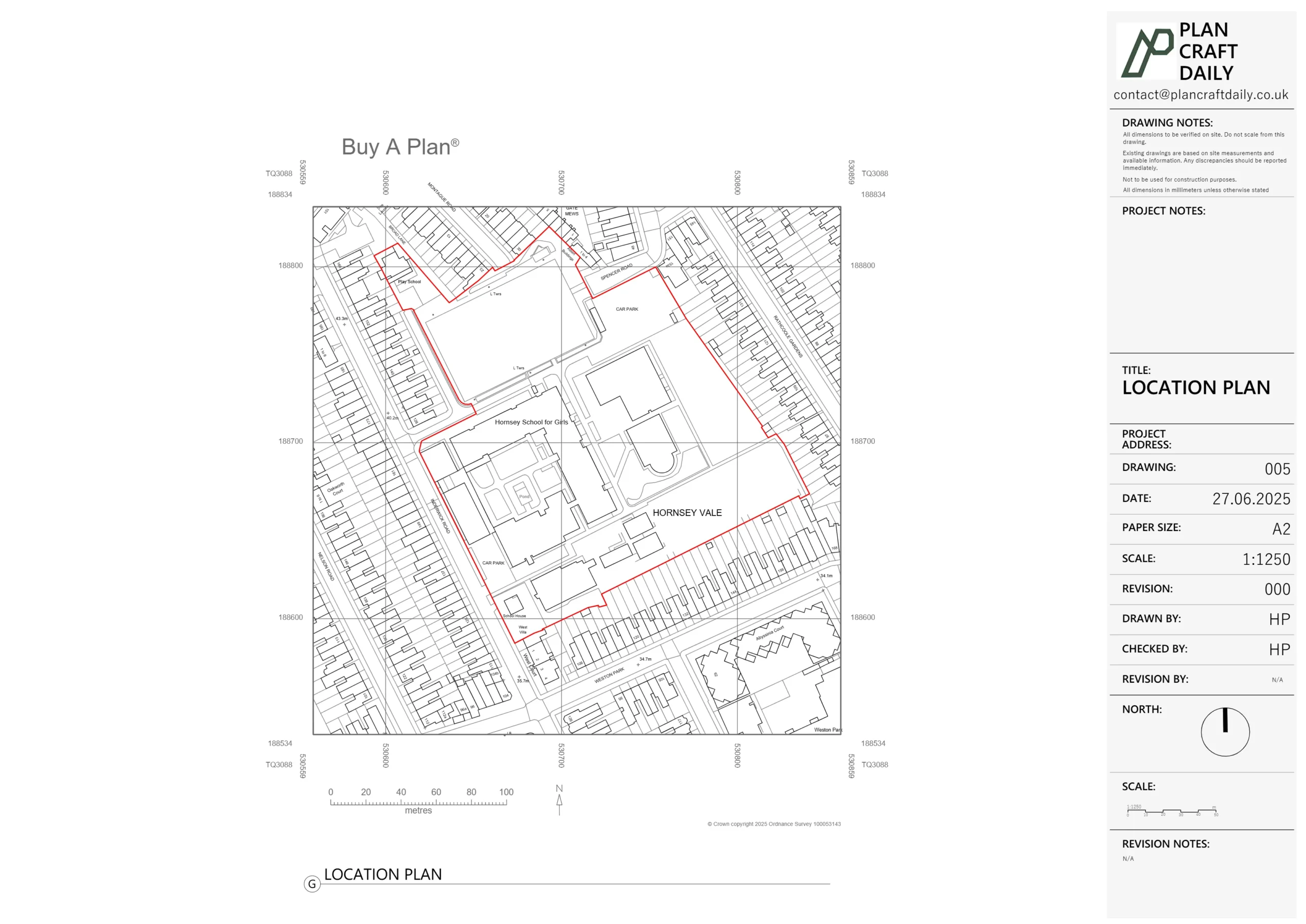
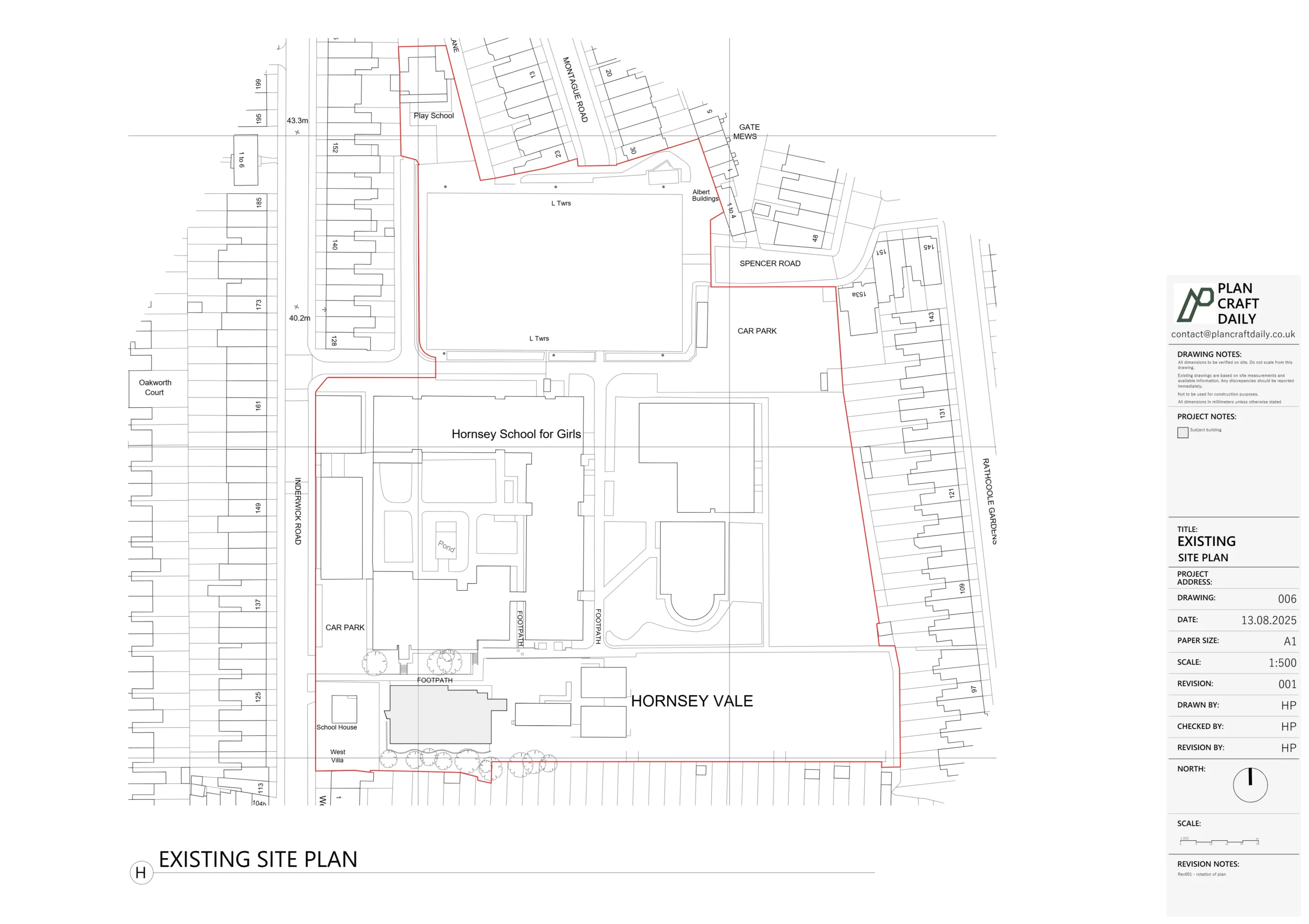
Mark these requests on a plan where possible. “Include the rear garden” is less precise than a boundary line showing the house, side passage, garden and the particular adjoining feature the designer wants recorded.
For the broader service scope, see what a topographical survey includes.
Does a topographical survey include a drainage survey?
Do not assume it does. Recording visible features and investigating the drainage system are different tasks. A quoted survey might record a cover's position and surface level without establishing the pipes connected beneath it.
Ask the designer what underground information is needed. Then ask the survey provider which parts can be included and which require another investigation. Any chamber inspection, pipe tracing or condition assessment should be expressly agreed, with access and limitations considered.
Our topographical survey versus utility survey guide explains why surface symbols alone do not establish buried service routes.
For the drainage brief, a useful practical step is to separate the requests into two lists: measurements of the site and information about the existing drainage system. This makes it easier to compare quotations without assuming two differently priced services cover the same work.
What is the difference between a cover level and an invert level?
A cover level is the height of the cover; a pipe invert level is the height of the inside bottom of the pipe at the stated point. They describe different things. One cannot be substituted for the other.
If the designer requests invert levels, pass that request on explicitly. Also ask how the relevant pipes and chambers should be identified, so the information can be matched to the drawing.
The RICS measured-survey standard treats drainage details, survey references and outputs as matters to specify. A service name alone is not a complete brief.
An inaccessible chamber should remain an identified information gap. A nearby cover or an old sketch should not quietly become a substitute for the requested measurement.
Do the levels need to use Ordnance Datum?
Ask the drainage designer which height reference is required before the survey. A datum is the reference from which levels are expressed. Drawings using different references cannot simply be compared by reading the numbers side by side.
For example, Buckinghamshire Council recommends including a topographical survey expressed in metres above Ordnance Datum when available for its surface-water drainage pre-application advice. This illustrates why the intended submission matters; it is not a universal instruction for every private garden project. See the council's surface-water drainage strategy guidance.
Give the surveyor any existing survey files and their reference information. Let the project team agree how the new measurements will relate to those records.
Will the survey show whether a soakaway is suitable?
A topographical survey alone does not establish whether the ground can accept the proposed discharge. It can supply site measurements for the designer, but information about infiltration and other site constraints comes from the relevant assessments and investigations.
Salford City Council's drainage-strategy checklist lists topographical information alongside infiltration testing, runoff information and storage estimates. They are separate inputs to the strategy, not interchangeable evidence. Its requirements apply to the application types identified in that local checklist. See Salford's drainage strategy requirements.
Before commissioning, ask the designer which information is already available and what remains outstanding. That avoids buying another general drawing when the missing item is actually a ground investigation or drainage assessment.
How far should the survey extend?
The extent should cover the relationships the designer needs to assess, subject to agreed access. The edge of the proposed paving or extension is not automatically the right survey boundary.
Consider this illustrative brief:
A homeowner plans a rear extension and replacement patio. The drainage designer asks for the existing thresholds, patio and garden levels, the side passage and visible drainage features. A possible connection beyond the garden needs separate clarification before the final survey extent is agreed.
This is a briefing example, not a drainage design or a completed Plan Craft Daily project. Its purpose is to show why the survey area should be discussed before the visit.
If relevant land is outside your control, tell the surveyor. Do not assume access has been arranged because a feature is visible on an aerial image. The quotation should make clear what can be surveyed and how any limitations will be recorded.
What should you send when requesting a quote?
Send the project proposal and the designer's information request together. A useful enquiry includes:
- The site address and a plan marking the required survey area.
- A short description of the proposed works.
- The levels and features the drainage designer has requested.
- Existing survey drawings, drainage records and relevant design sketches.
- The required height reference and drawing formats, if specified.
- Known access restrictions, locked areas or features that cannot be reached.
- A clear note of any underground investigation requested in addition to the topographical work.
If the designer has not settled the brief, say so. It is better to identify that open point than to make the surveyor guess what “suitable for drainage” means for your project.
What should you check when the drawings arrive?
Ask the designer to check the agreed information is present before using the survey for the drainage design. Review the surveyed extent, height reference, requested features and any notes about inaccessible areas.
Where several reports are involved, keep their dates and drawing references together. The project team should be able to tell which information was measured during the survey, which came from existing records and which is still awaiting investigation.
If something is missing, identify the specific point on the drawing and refer back to the agreed brief. That makes the next step clearer than asking for the whole plan to be made “more detailed”.
Arrange the survey around your drainage brief
Plan Craft Daily provides topographical surveys for agreed site information. Send us your site plan and your designer's requirements so we can review the survey scope and prepare a quote.