What are property drawings?
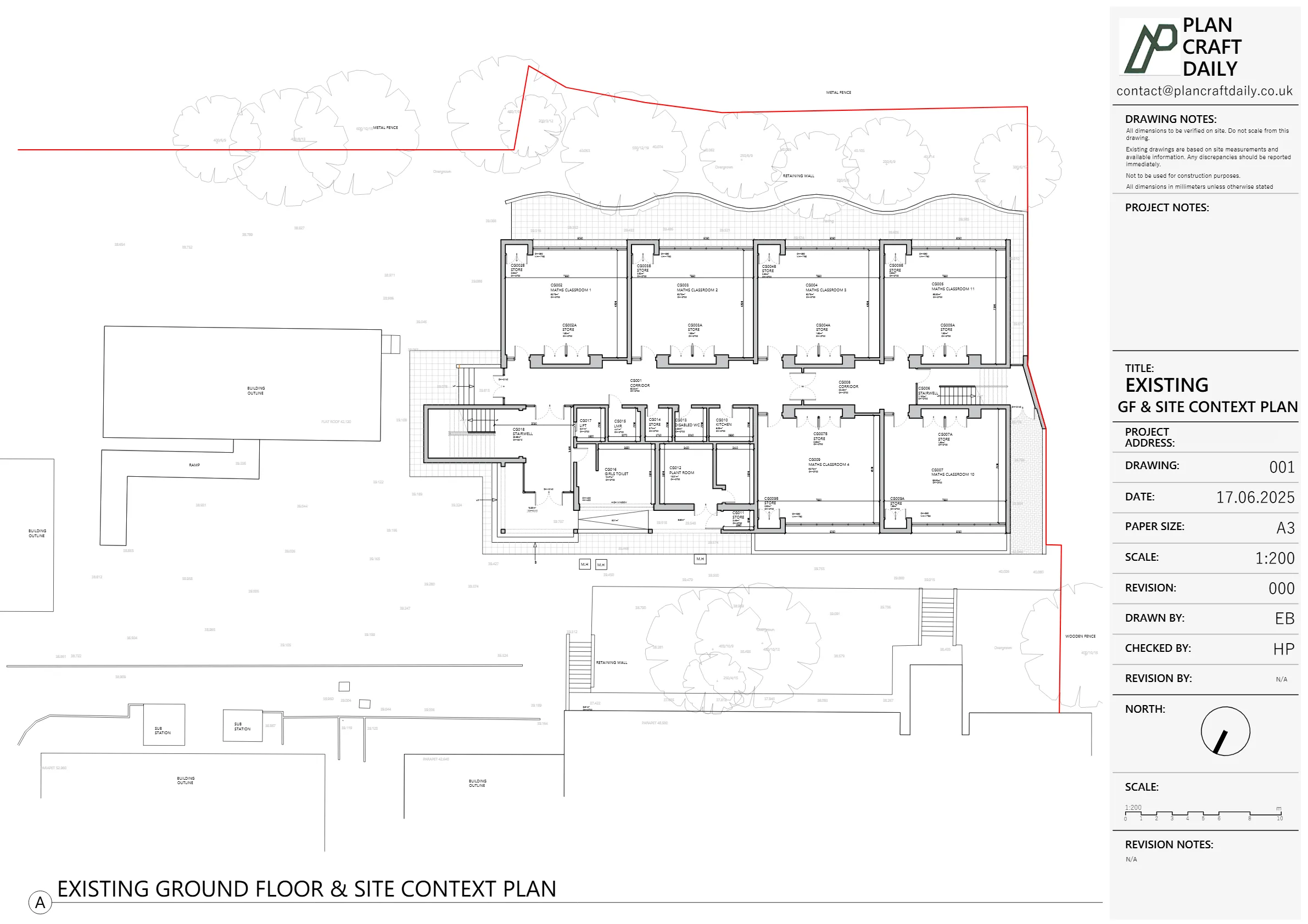
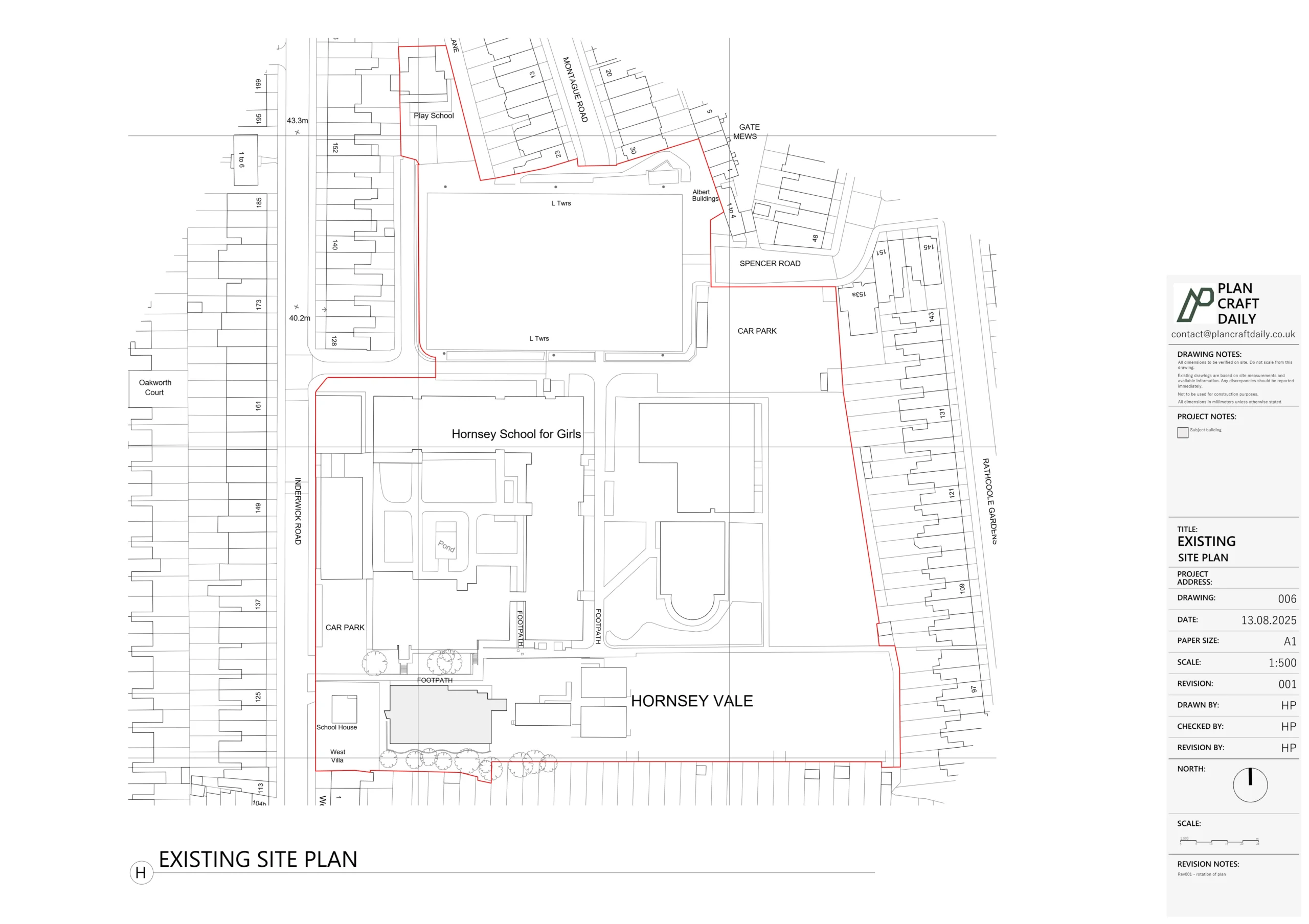
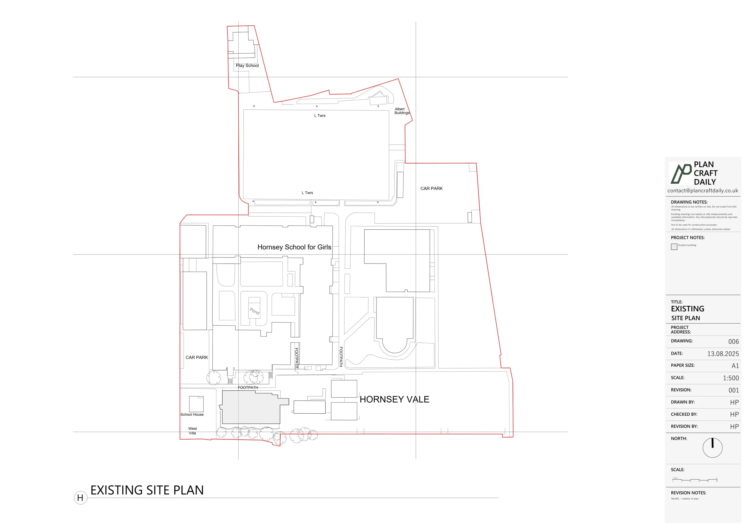
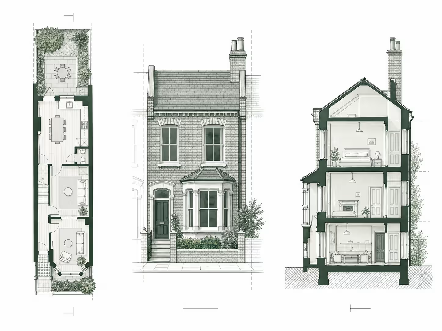
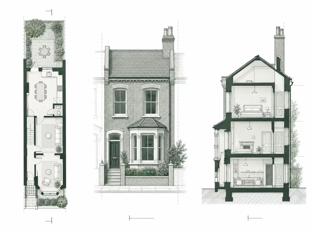
Property drawings are scaled views that describe a building or site. They give owners, designers, engineers and planning teams a shared record of the property. Existing drawings show the building as surveyed. Proposed drawings show an intended change.
A scale states the relationship between the drawing and the real building. A drawing at 1:100 represents one metre of the building as ten millimetres on paper.
Property drawings can start with a measured building survey. The survey records the dimensions and visible features agreed in the brief. That information can then become existing property drawings such as floor plans, elevations, sections, roof plans or site plans.
A measured building survey is not a condition survey. It records size and geometry, but it does not diagnose defects, value the property or confirm structural safety. The guide to what a measured building survey includes explains this service boundary in more detail.
What does a floor plan show?
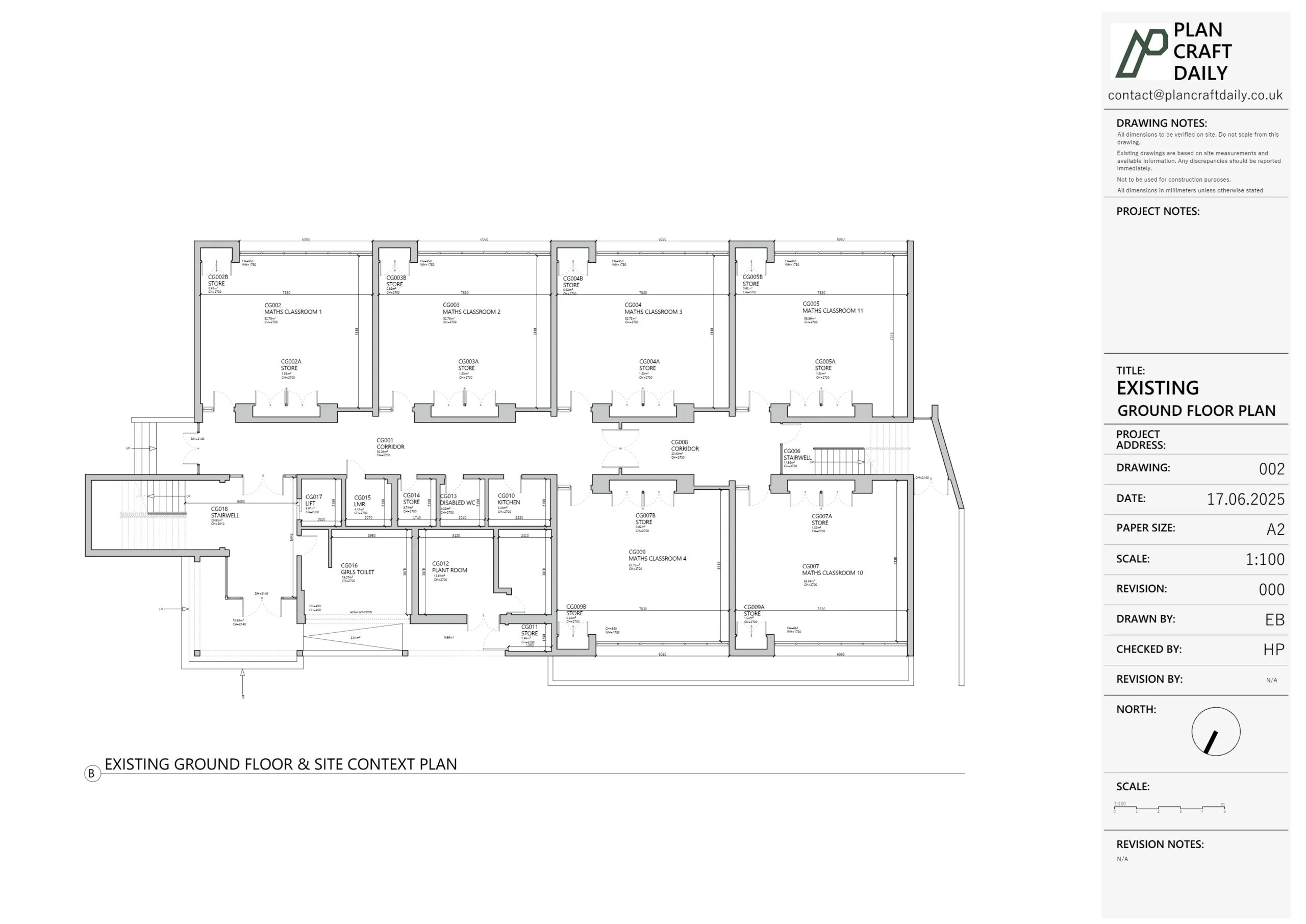
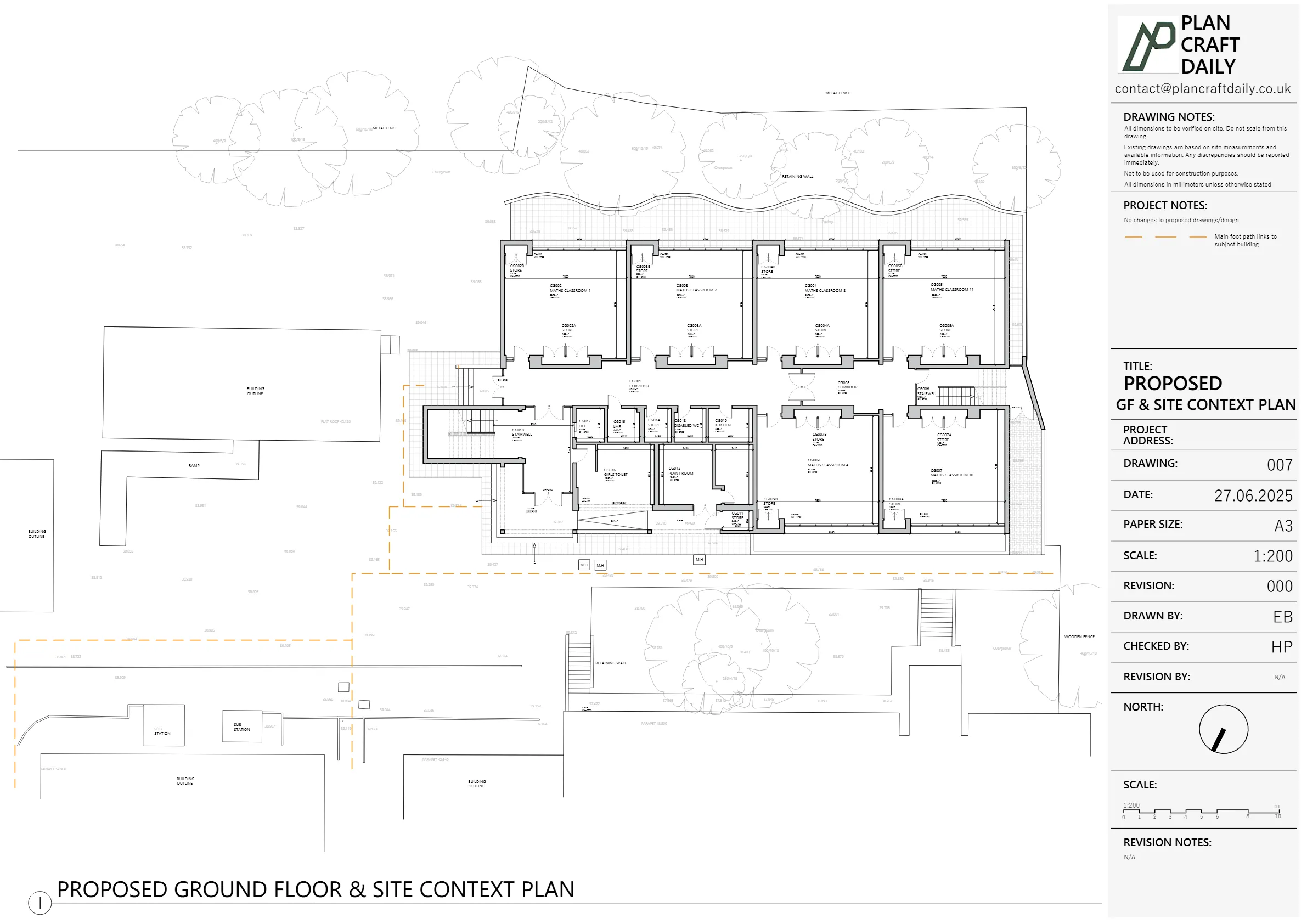
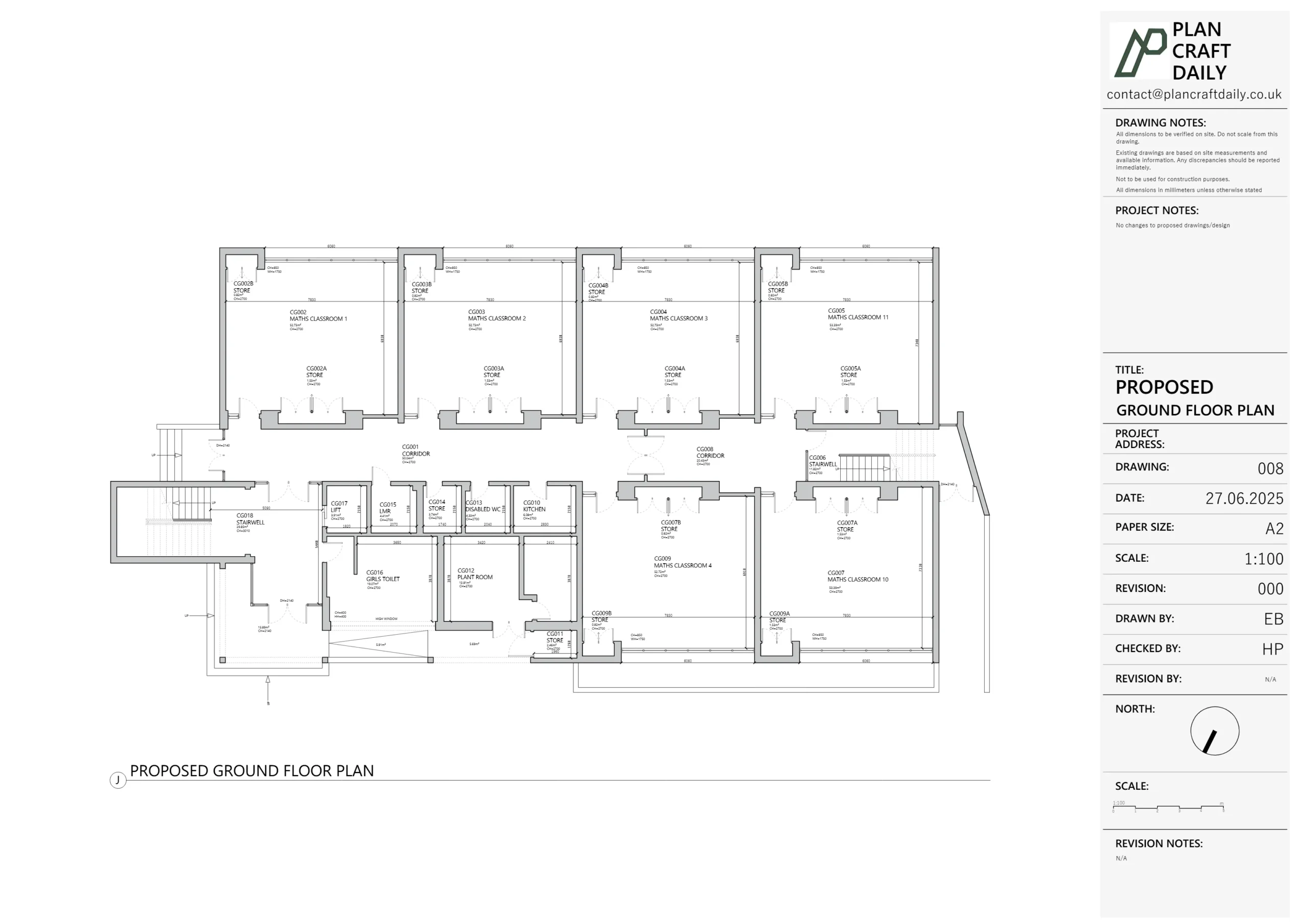
A floor plan shows the layout of one building level from above. It records the relationship between rooms, walls, doors, windows and stairs. It can also include dimensions, fixtures and other visible features where the agreed scope requires them.
Floor plans suit projects where horizontal space is the main concern. Examples include internal alterations, room planning, lease records and the early design of an extension.
One floor plan does not explain the whole building. It does not show an external face clearly, and it cannot fully describe ceiling heights, roof form or changes between floor levels.
What does an elevation show?
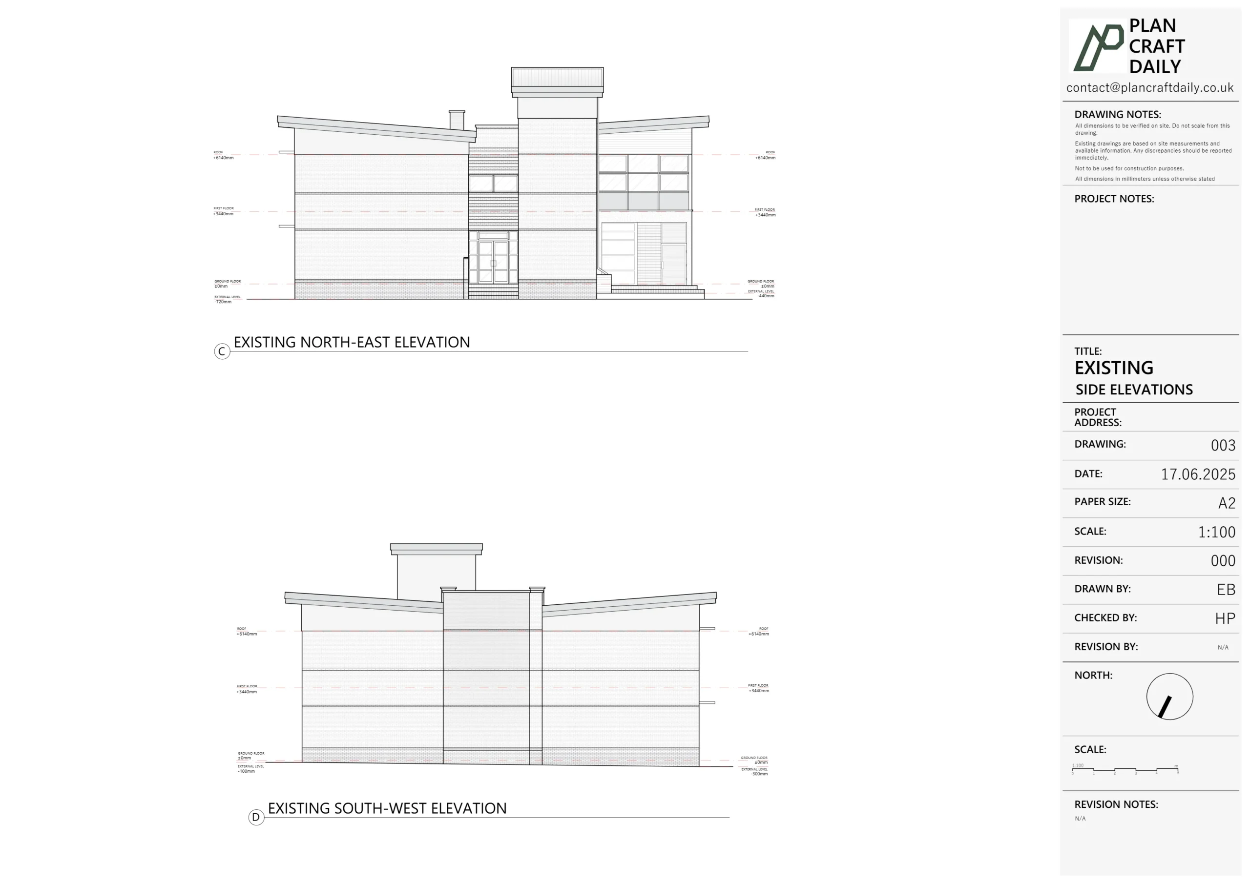
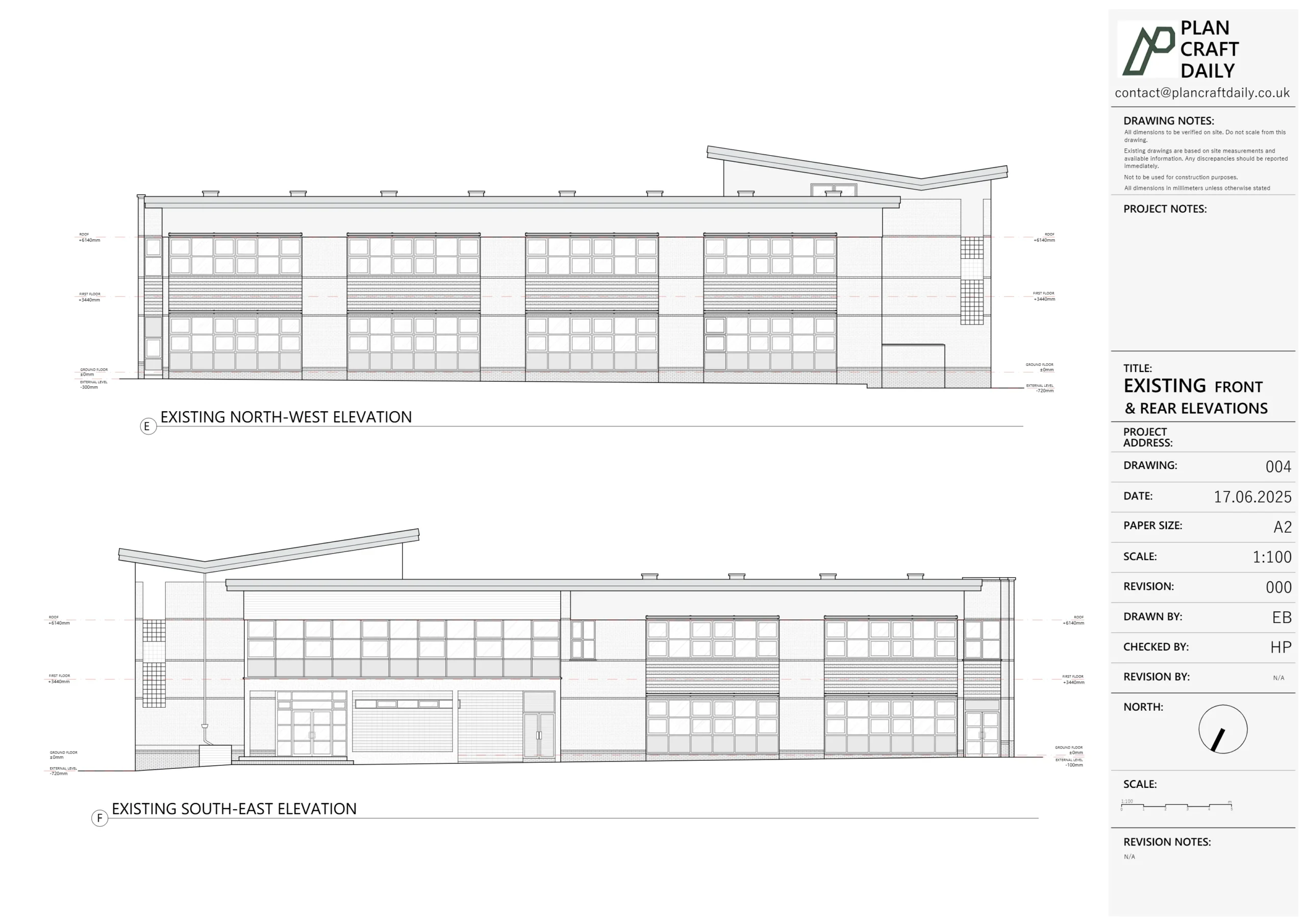
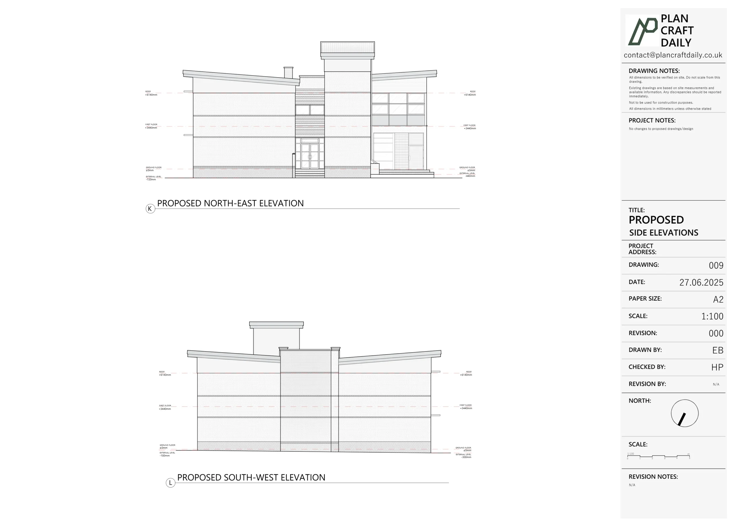
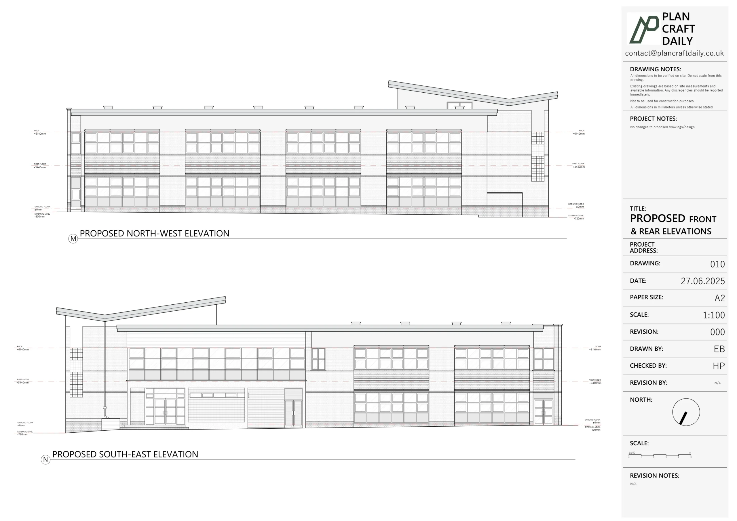
An elevation shows a straight-on view of one face of a building. It explains the position and size of openings, the overall height, the roof outline and visible external features on the front, rear or side.
Elevations become important where work changes the outside appearance. Examples include a rear extension, new windows, a roof alteration or changes to the front of a house.
The drawing title should identify the face shown. A complete set does not always need every elevation. The correct set covers the faces affected by the project and any extra views required by the end user.
What does a section show?
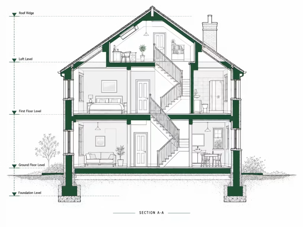
A section shows a vertical cut through the building. It explains information that floor plans and elevations cannot show clearly, including floor-to-ceiling heights, roof form, stairs, floor construction and changes in level.
The position of the cut matters. A useful section passes through the part of the building that contains the key vertical information. For a loft project, that often means the roof and proposed stair area. For an extension, it can mean the meeting point between the old and new spaces.
A section adds value only when it answers a real project question. Its route should therefore be agreed before the drawing work begins.
Which property drawings does an extension need?
An extension usually needs existing and proposed floor plans, the affected elevations and any section needed to explain height or level changes. The final set depends on the proposal, the property and the documents requested by the local planning authority.
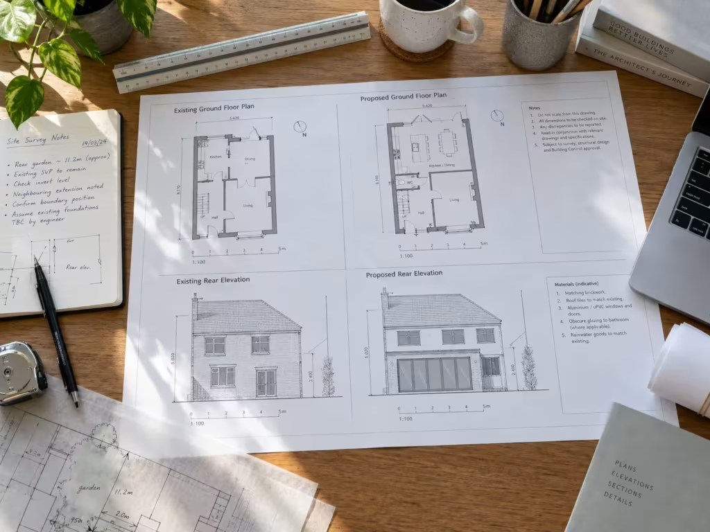
The existing floor plan records the present layout. The proposed plan shows the new footprint and internal arrangement. Existing and proposed elevations then show how the outside face changes.
A section is relevant where the proposal involves a roof, a change in ground level, a stepped floor or another vertical relationship that the other views do not explain.
Which property drawings does a loft project need?
A loft project normally requires floor plans, roof information, affected elevations and a section through the roof and stair area. These views explain the existing layout, roof shape, external change, access route and available vertical space.
The section carries particular value because headroom and stair position are vertical issues. A floor plan alone cannot show them.
The measured scope must include the areas needed to support those views. Restricted loft access or concealed parts must be identified before the survey so the drawing provider can define what will and will not be recorded.
Do planning applications need existing and proposed drawings?
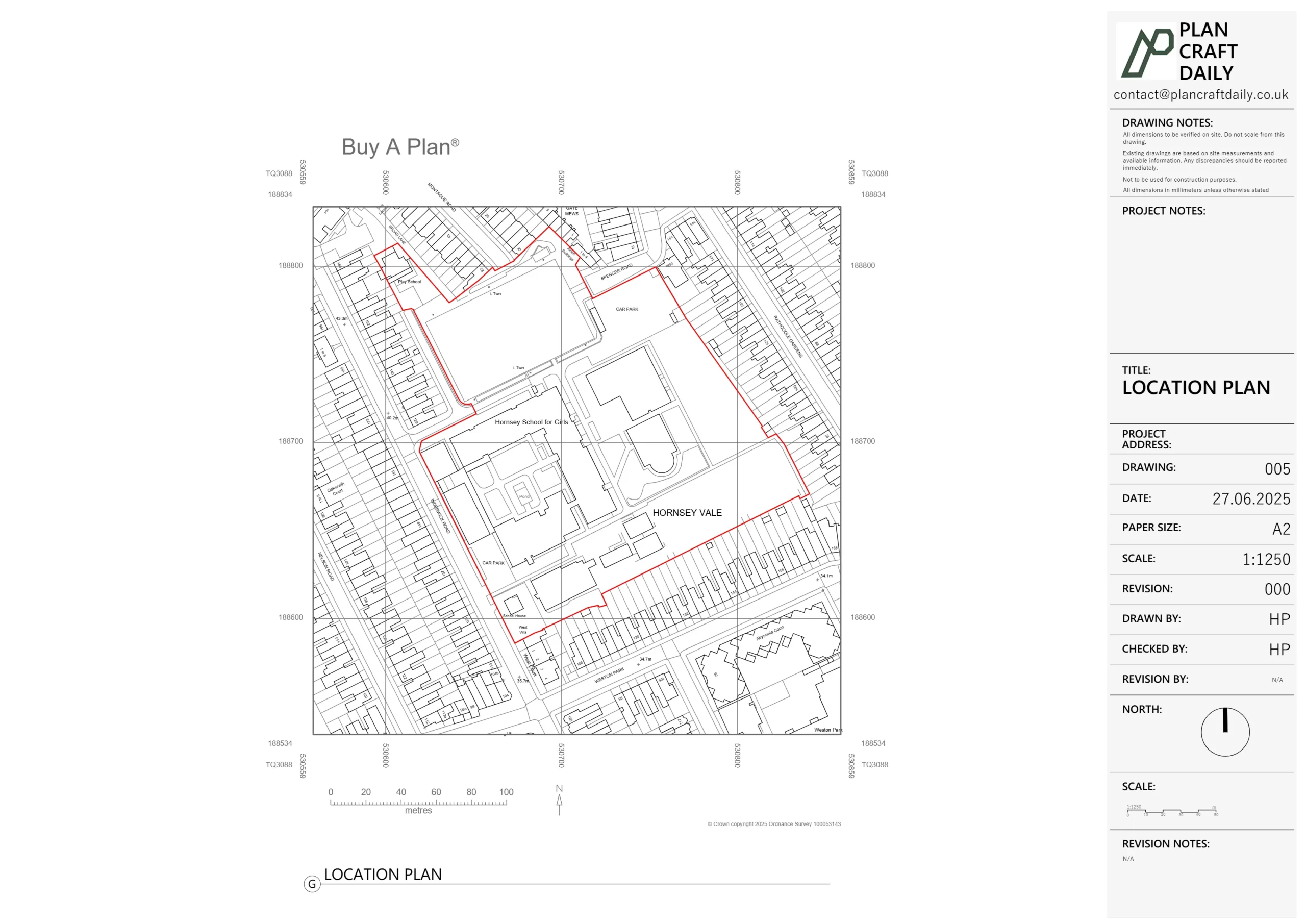
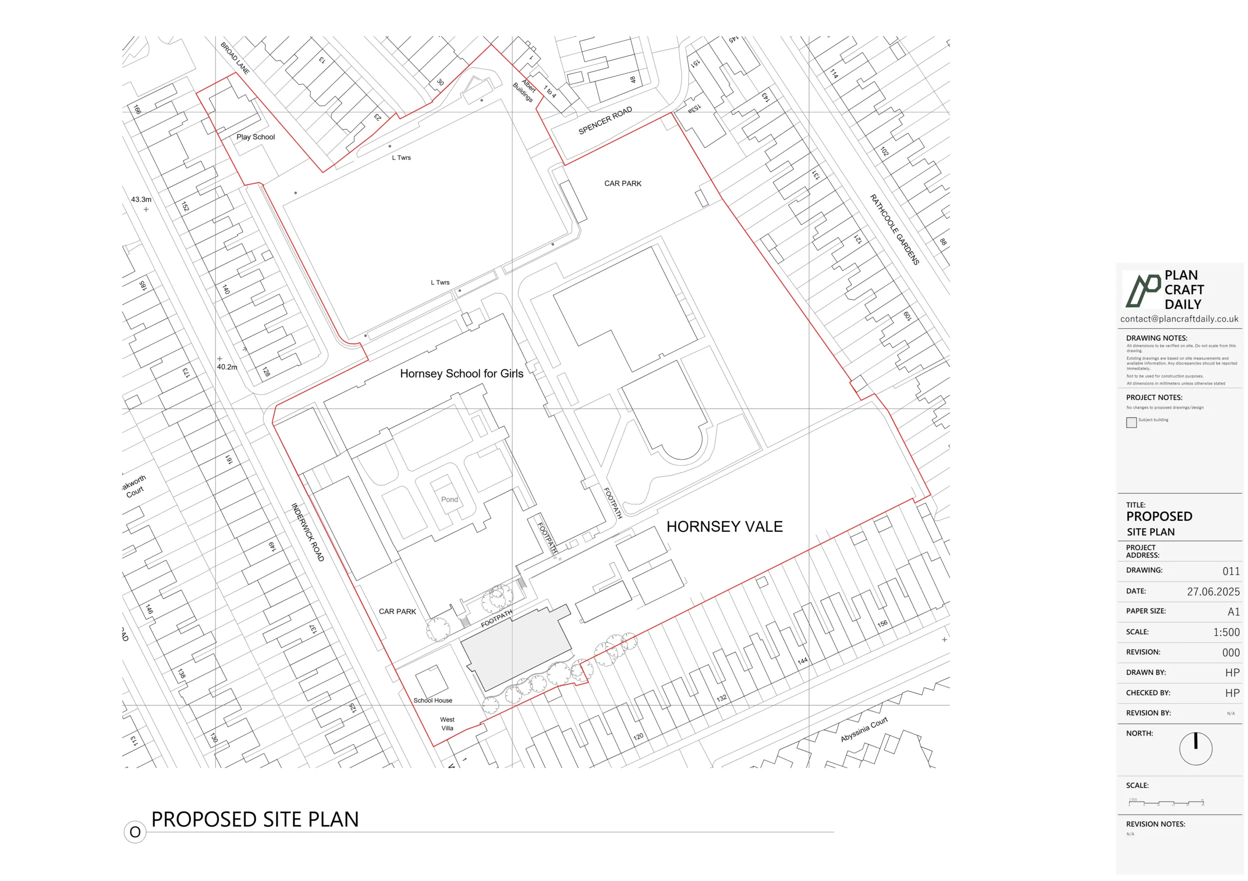
Planning applications need drawings that clearly describe the site and the proposed development. Existing and proposed versions provide a direct comparison where building work changes the layout or appearance. The exact submission set comes from national requirements and the council's local validation list.
The Planning Portal guide to plans and drawings defines common documents such as location plans, block plans, floor plans, elevations and sections. GOV.UK planning guidance also explains that a valid application requires the relevant plans and supporting information.
The local planning authority is the council body that decides the application. Its local validation list sets the additional documents it expects for particular proposals. Check that list before fixing the drawing scope.
Are planning drawings enough for construction?
Planning drawings are not automatically construction drawings. A planning set describes the proposal for a planning decision. Construction work can also require building regulations information, structural design, specifications and details prepared for the people who will build and inspect the work.
Planning permission and building regulations approval are separate processes. GOV.UK building regulations guidance explains the approval routes and the work that falls within building regulations.
A measured drawing provider also has a defined role. Plan Craft Daily records the agreed property information and prepares agreed two-dimensional drawings. It does not provide structural engineering, building-condition advice or a guarantee of planning approval.
Can old property drawings replace a new survey?
Old drawings can provide useful context, but they do not confirm the building's current dimensions or layout. Alterations, drawing errors and missing detail can make an old set unsuitable as the sole base for new design work.
An architect or designer can review the old files and state whether current measured information is required. Where accuracy matters, a new survey provides a dated record of the visible property within the agreed scope.
Estate-agent plans serve a marketing purpose. They often lack the wall thicknesses, levels and technical detail required for design or planning work.
How do you set the right property drawing scope?
Start with the decision the drawings must support, then name the views and areas needed for that decision. A clear brief prevents missing information and avoids ordering drawings that the project team will not use.
Confirm these points before requesting a quote:
- The property address and building type
- The planned work, such as an extension, loft alteration or refurbishment
- The floors, elevations and external areas in scope
- The exact plans, elevations, sections or roof views required
- Any basement, loft, outbuilding or restricted area
- Whether the end user requires DWG, PDF or both
- Who will prepare the proposed design
- Who will submit any planning or building regulations application
DWG is an editable computer-aided design file. PDF is a fixed format used for viewing, printing and sharing. The person using the drawings should confirm which format they need.
How can Plan Craft Daily help with property drawings?
Plan Craft Daily provides measured surveys and agreed two-dimensional existing drawings for properties in London and surrounding counties. The drawing scope can include floor plans, elevations, sections and other agreed views issued in DWG and PDF.
One Plan Craft Daily project in SE12 required an existing rear elevation and a full-height front-to-back section, rather than a generic full drawing pack. The SE12 elevation and section case study shows why the required project information should control the scope.
Request a measured survey quote and send the brief supplied by your architect, designer, engineer or planning consultant. Plan Craft Daily will confirm the agreed survey area, drawing views and file formats before the visit.