Residential Measured Survey & Existing Drawings — Canvey Island

Results at a Glance

Site survey arranged with confirmed access window and surveyor details shared.

Existing drawings produced to scale and clearly labelled for submission use.

Final drawing pack issued in DWG and PDF, supported by site photographs.

Scope clarified when validation comments arose (no location plan or proposed drawings provided).

The Challenge

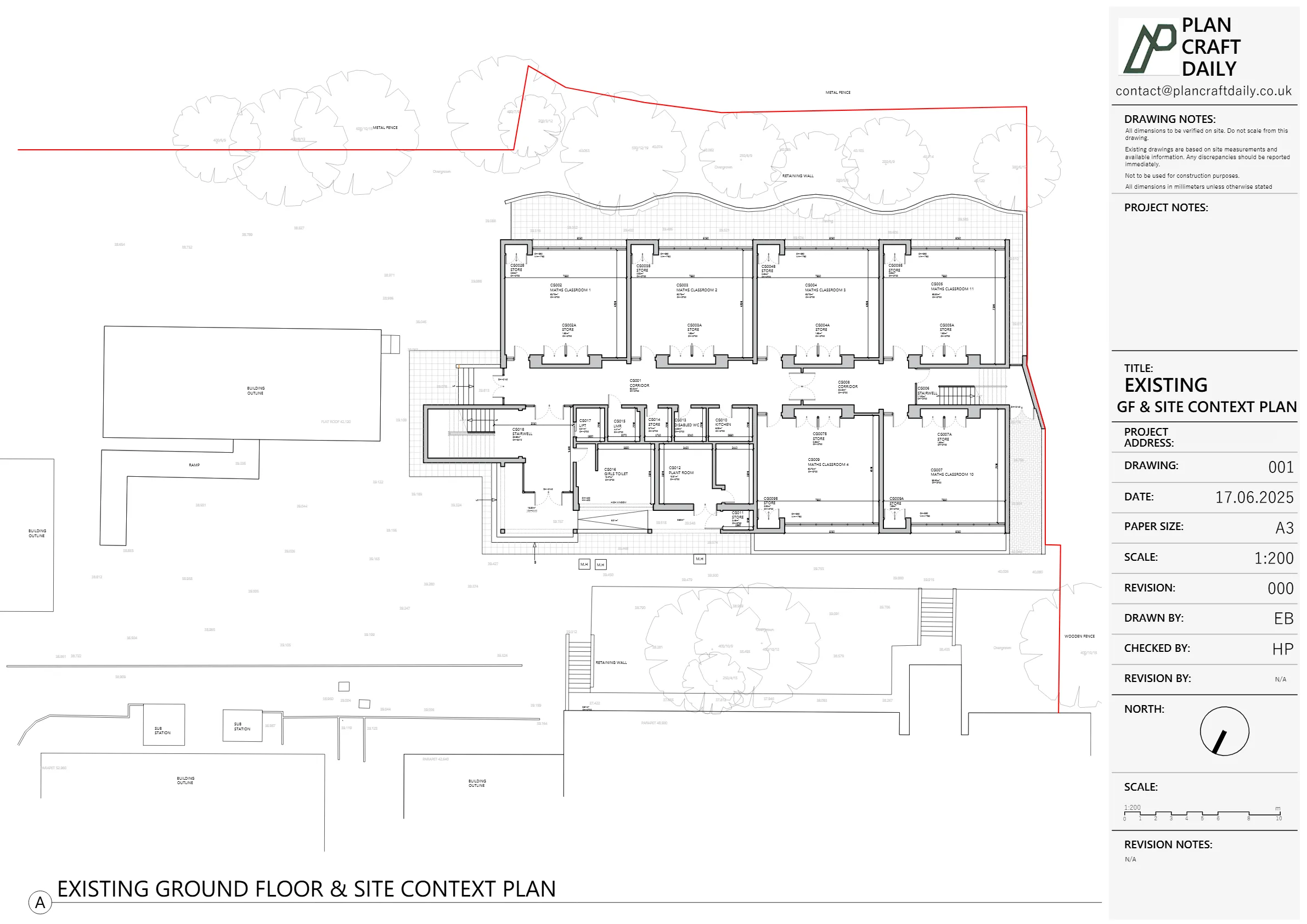
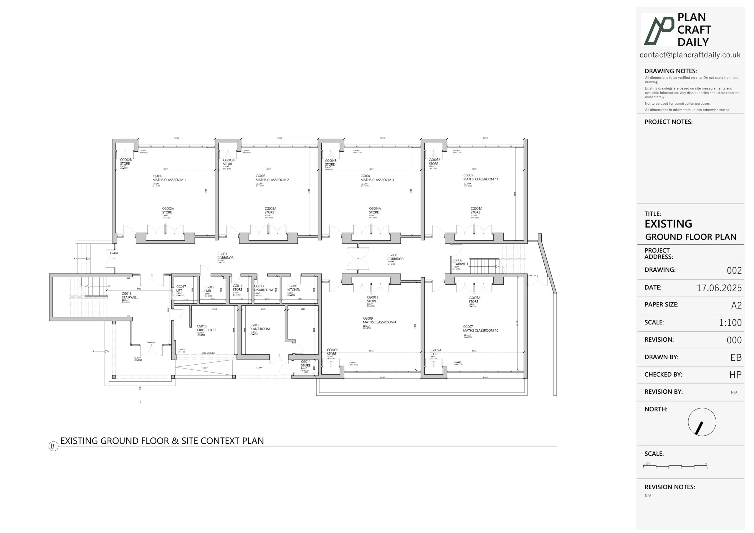
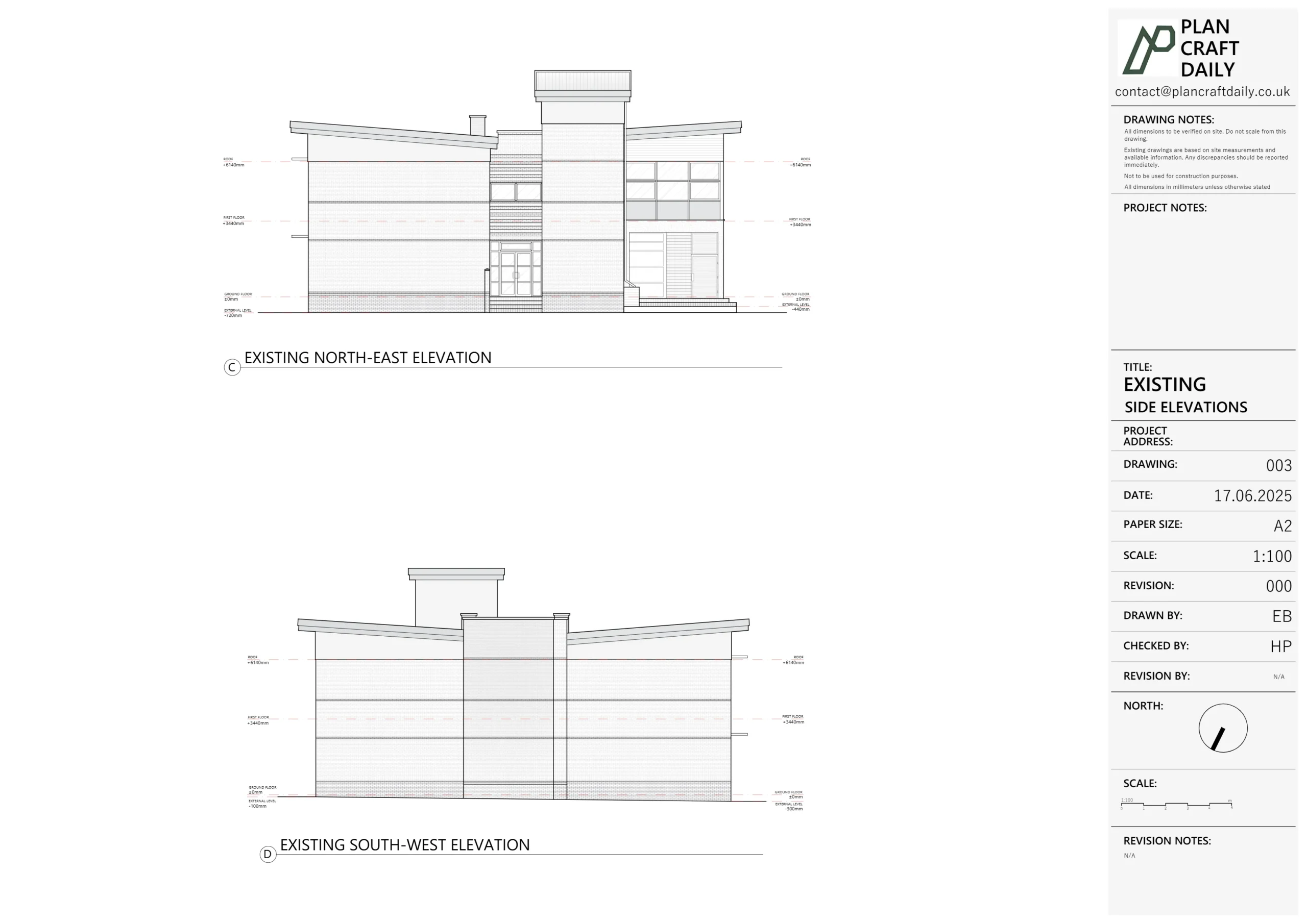
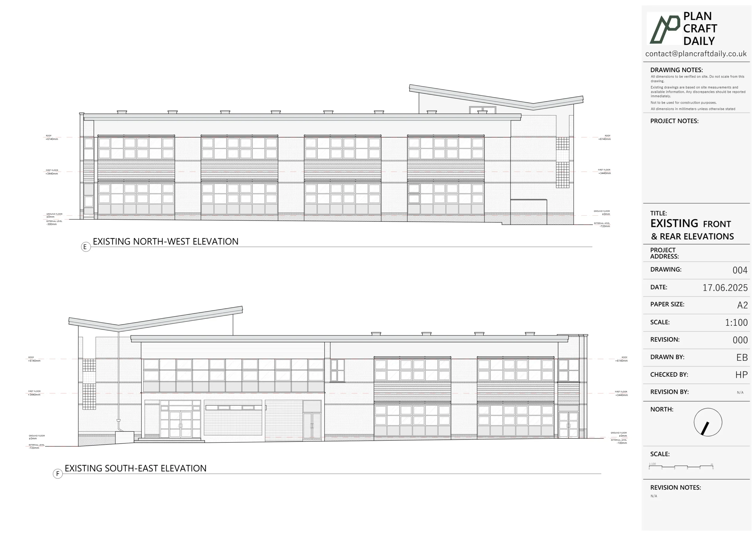
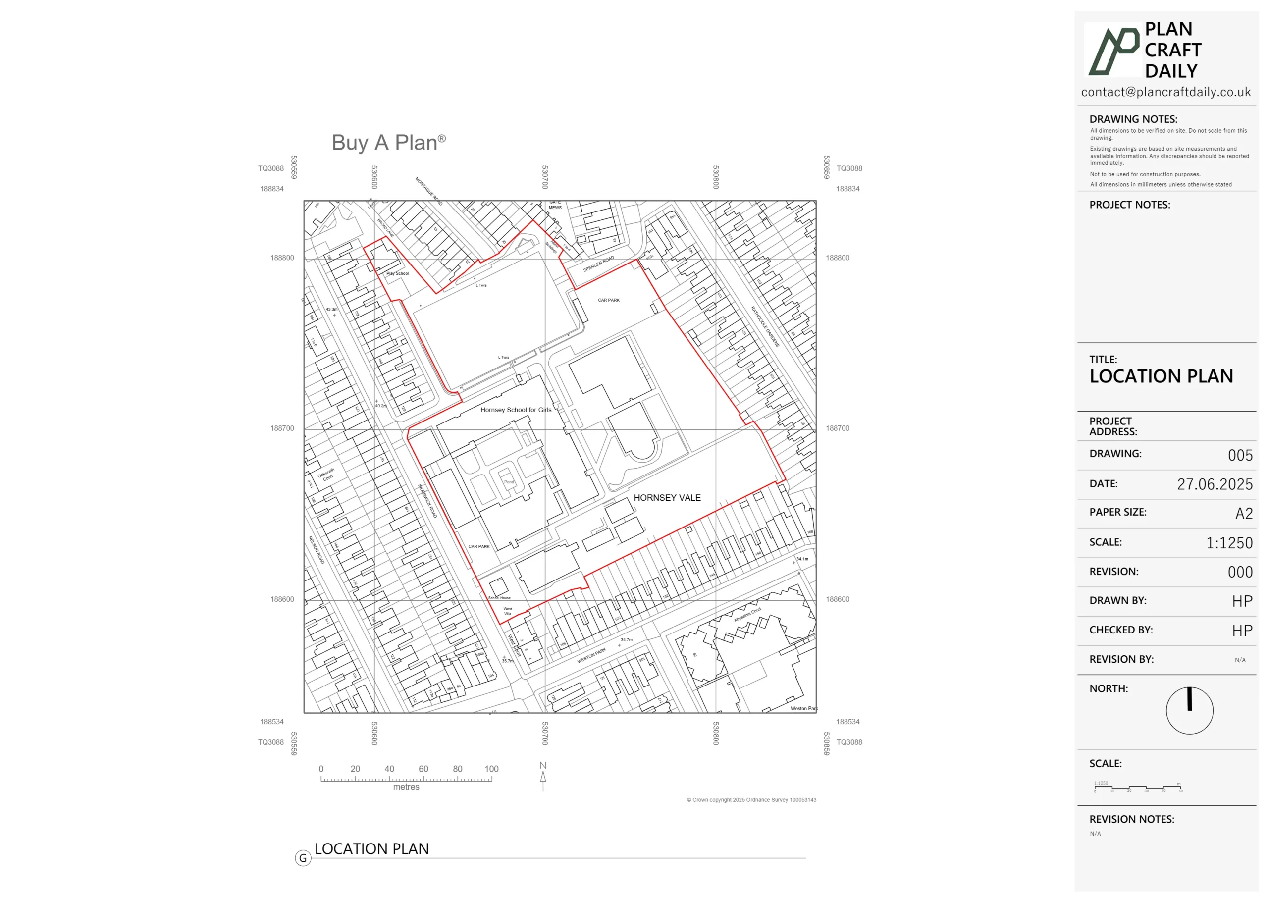
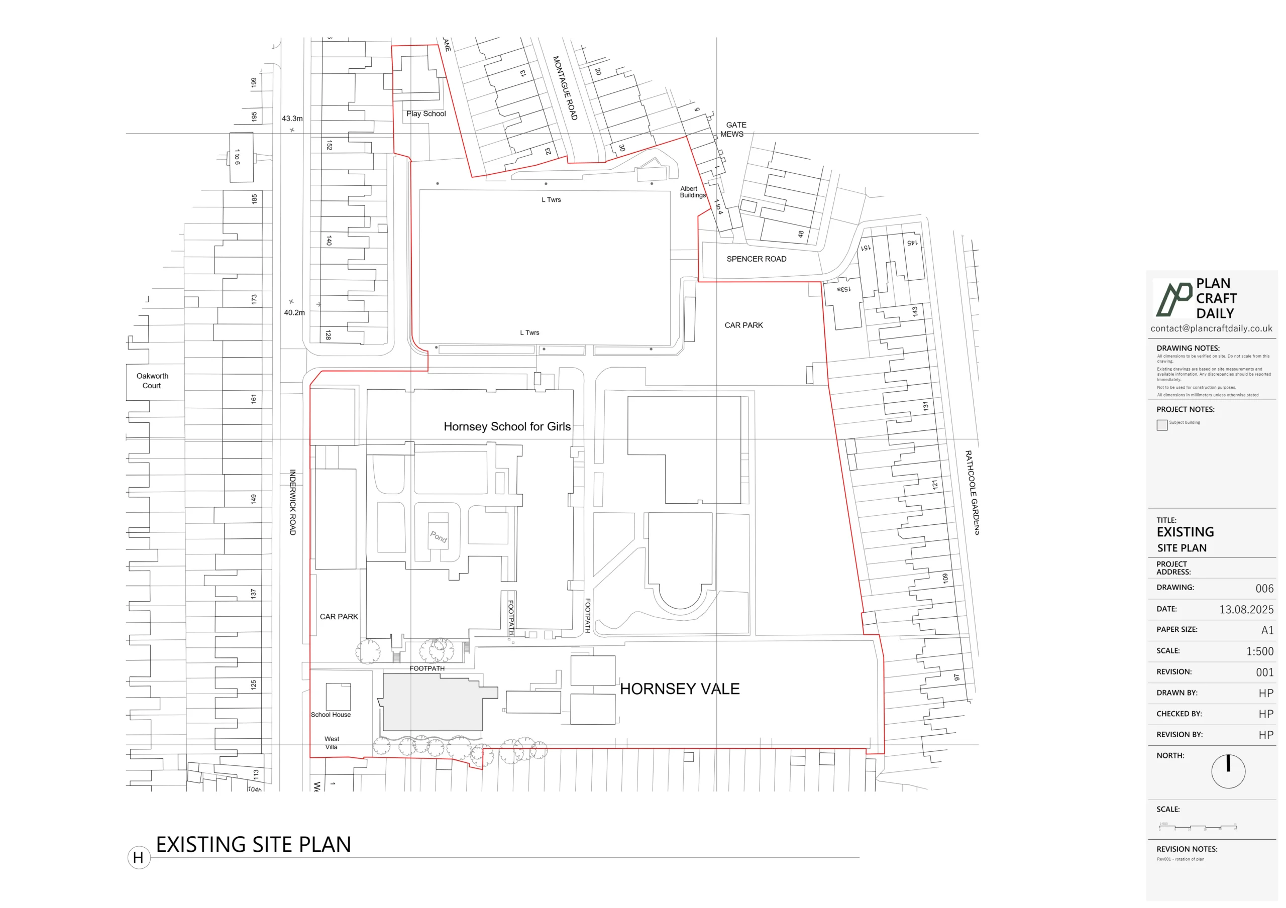
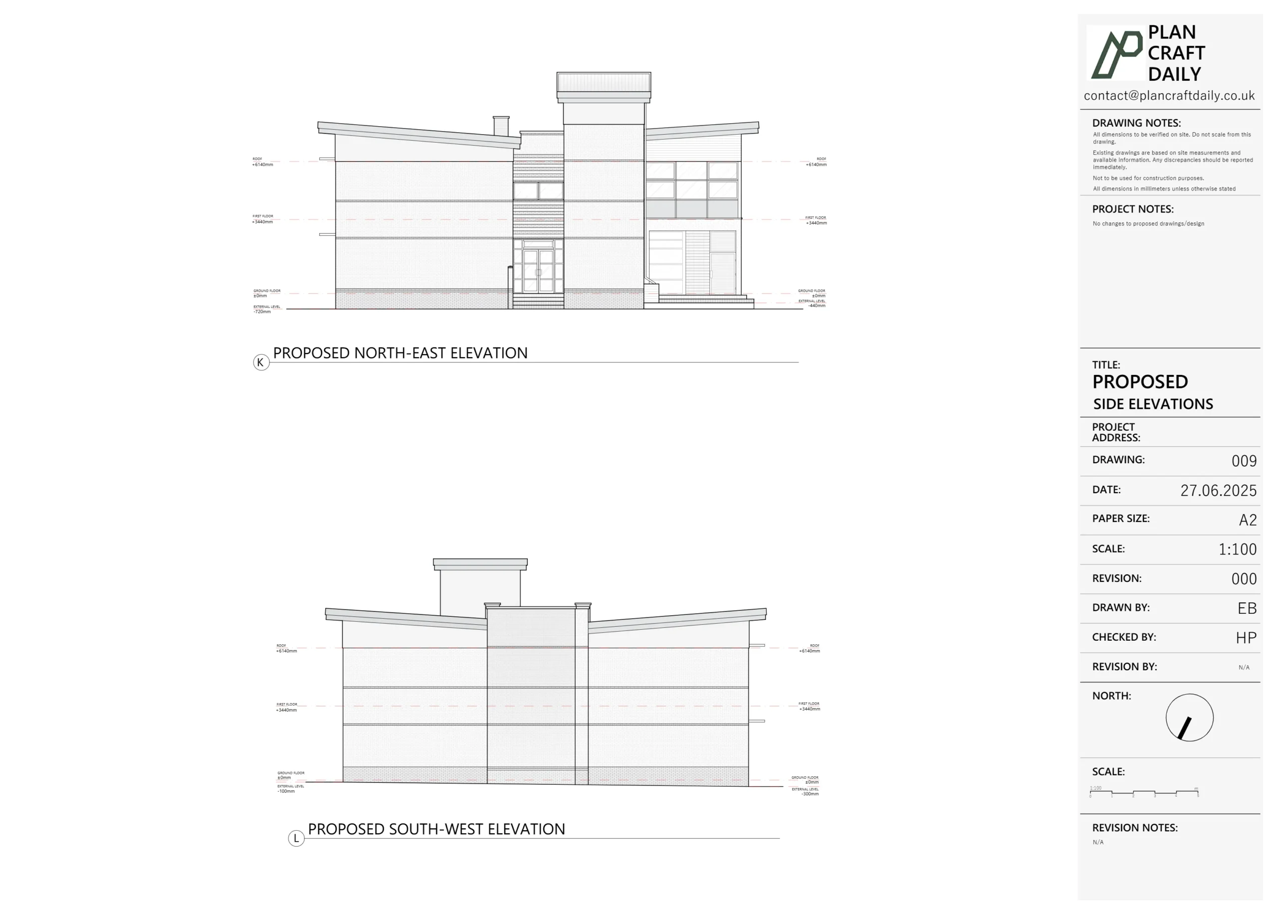
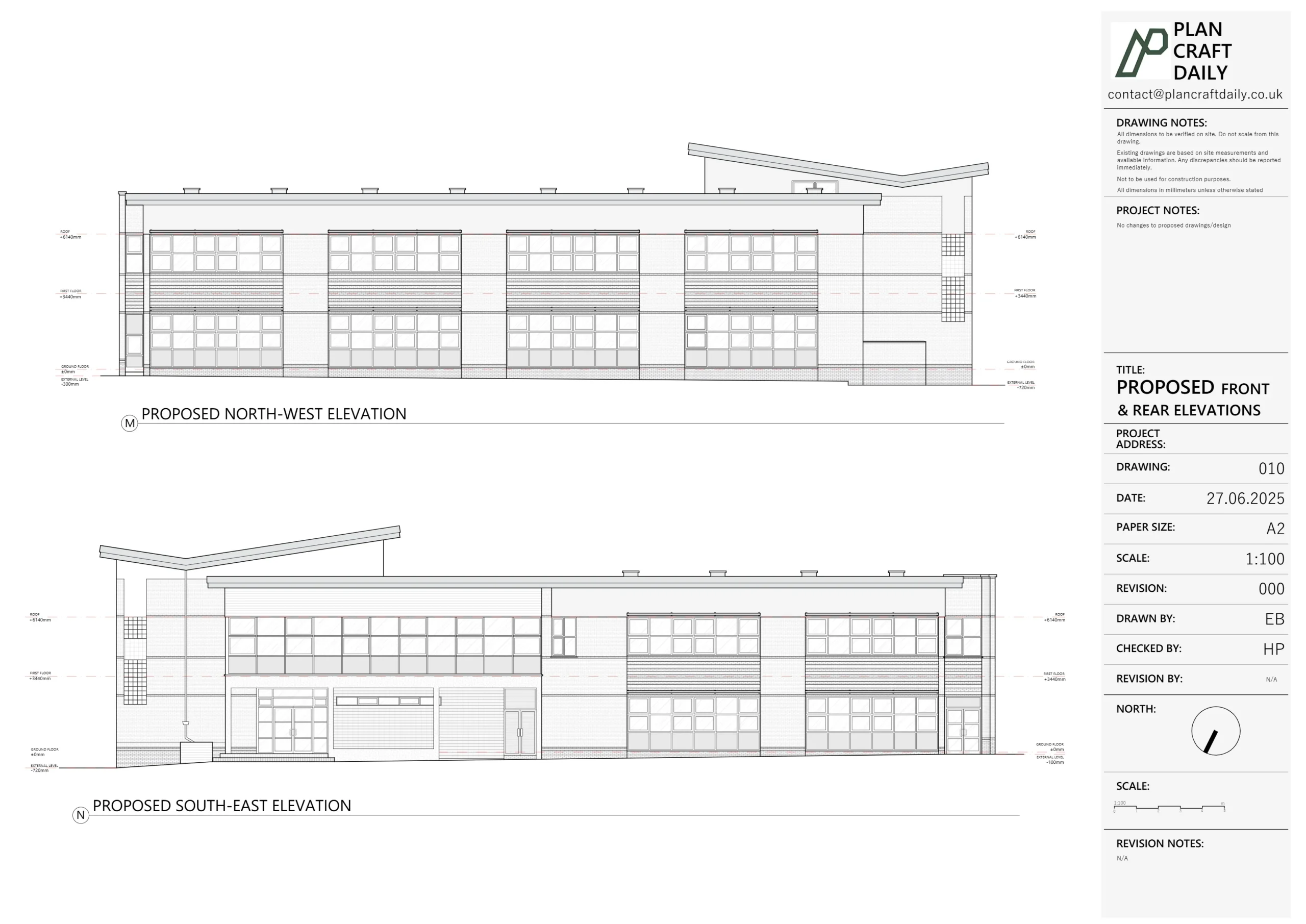
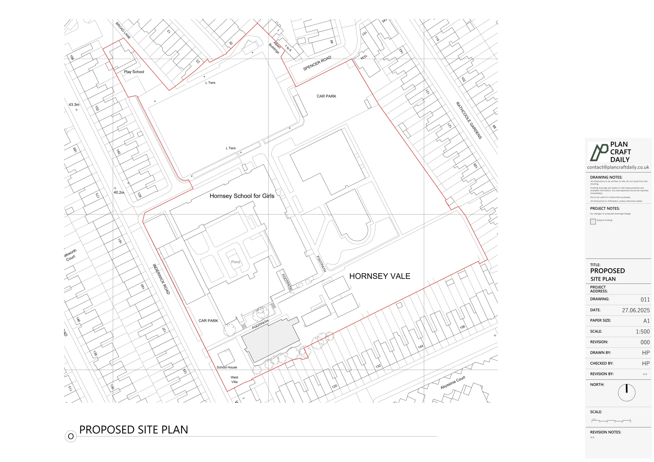
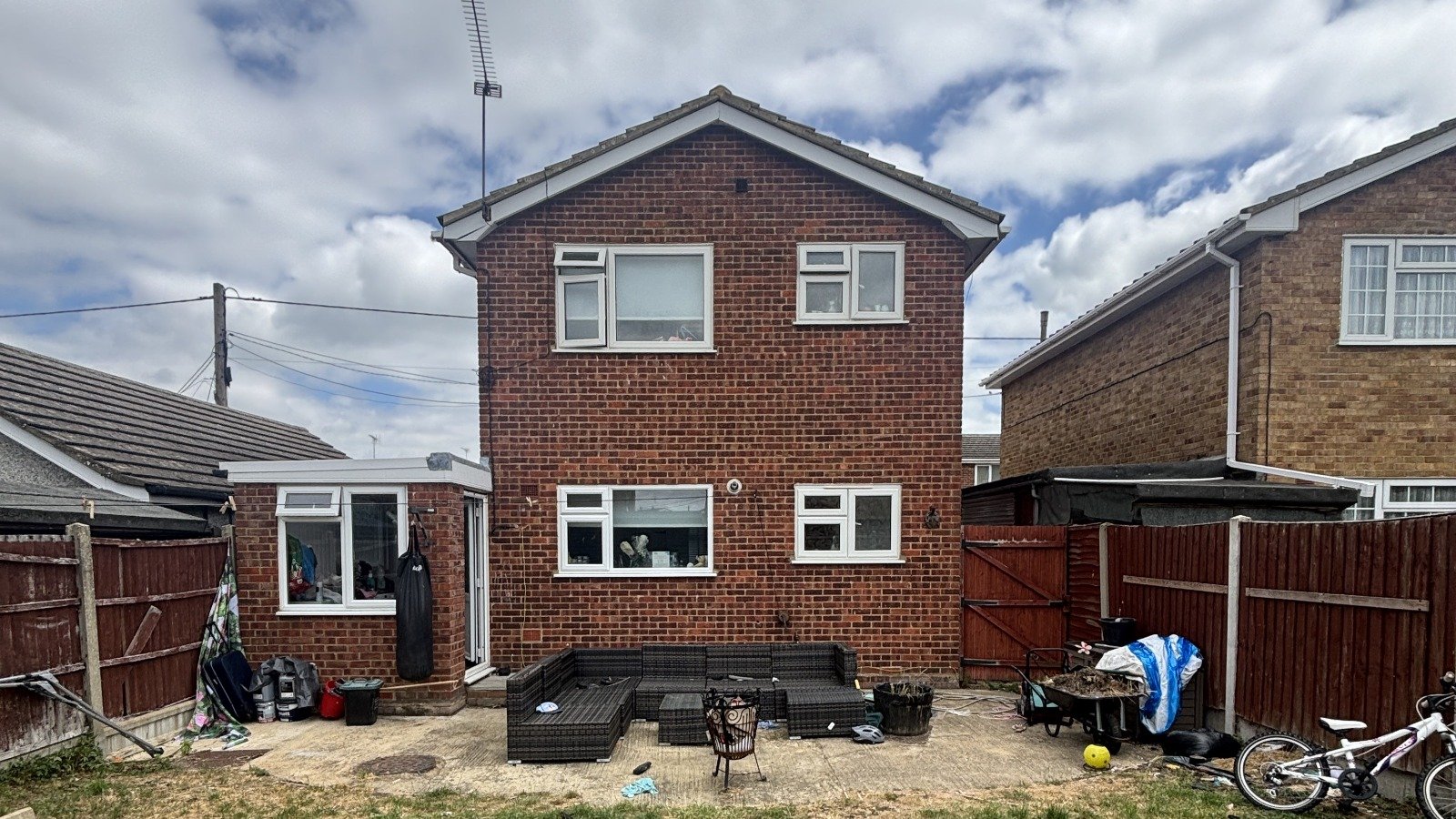
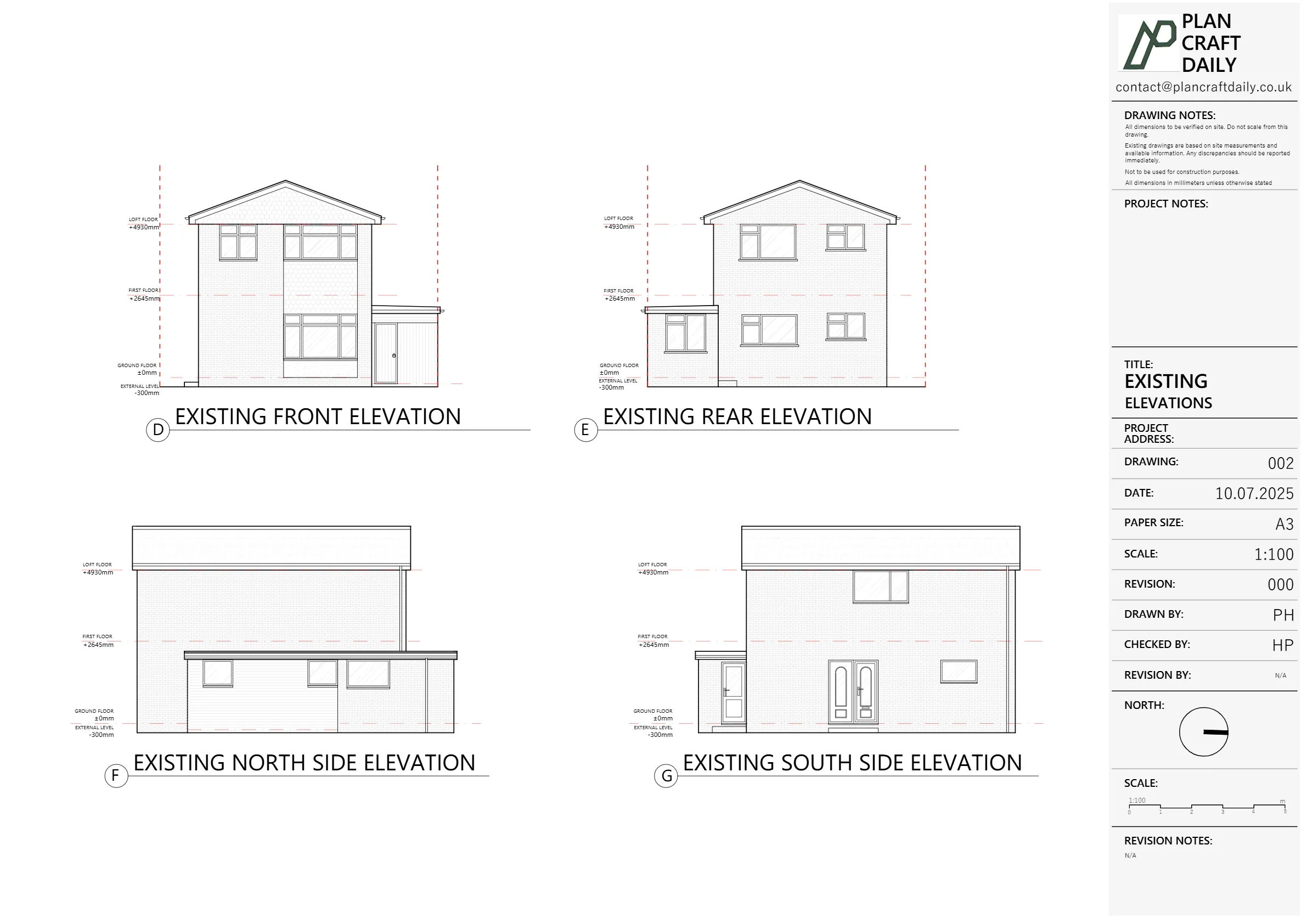
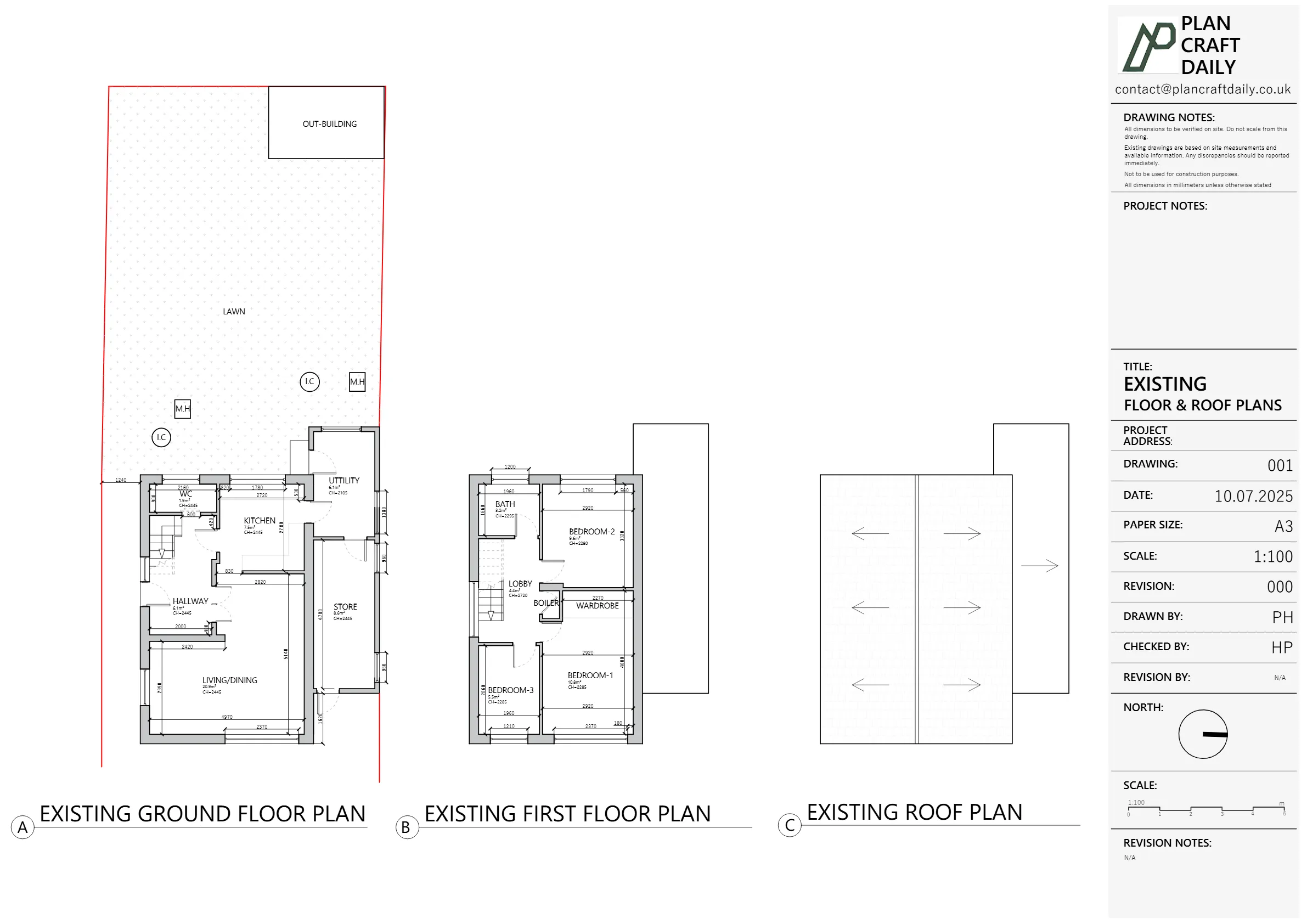
The client needed a measured site survey and accurate existing drawings for a residential property in Canvey Island, Essex, to support a proposed side extension project. The requested scope was specific: existing survey information and drawings only, with no requirement for a site location/block plan, sections, or proposed drawings.

The project required careful scheduling around site access, including confirming the survey slot and communicating the surveyor’s arrival window and contact details. After delivery, the client later reported that the council had requested revisions to validate an application, so we needed to quickly clarify what we had and had not produced, and ensure the client understood the exact scope of our appointment and drawing deliverables.

Our Solution

We confirmed the survey appointment and provided the surveyor’s details to support smooth site access. Following the visit, we completed the existing drawings pack based on the measured survey information, ensuring the output was produced to scale and labelled appropriately.

Once the client reviewed the draft pack, we issued the final drawings and related project files. When later validation comments were raised, we responded by reiterating the deliverables and clarifying the boundaries of our scope: the work covered measured existing drawings only, and did not include a location plan or any proposed drawings. This helped the client team identify what additional documents (if any) needed to be addressed outside of our issued pack.

What We Delivered

Measured Building Survey (site visit)

Existing floor plans (to scale)

Existing elevations (to scale)

CAD drawings (DWG)

PDF drawings pack

Site photographs

Outputs Delivered

DWG

PDF

The Process

Agreeing Scope, Fee and Friday Access
We confirmed the client’s requirements for a measured survey and existing drawings only, noting that no location plan, block plan, sections, or proposed drawings were included. Key project details (property address and intended side extension context) were captured to keep outputs aligned with the requested scope.
On-Site Survey
A survey slot was arranged and access confirmed. We shared the surveyor’s name, contact details, and expected arrival window to minimise disruption and ensure the right person could provide access. This reduced the risk of aborted visits and kept the project moving.
Cross-Checking Before Leaving
The surveyor attended site and completed the measured survey required for producing accurate existing drawings. Measurements were collected to support scaled plans and elevations, with supporting photographic records captured to help verify features during the drawing stage and improve clarity for end users.
Turning Survey into Plans and Elevations
Using the measured survey information, we produced existing drawings to scale and clearly labelled. A draft pack was issued for review before finalising. This ensured the client could check key items early and that the final DWG and PDF outputs matched the measured site conditions.
Draft Review and Final Handover
We issued the final drawing pack and related files, including CAD, PDFs, and photographs. When later validation comments were raised, we clarified what was included in our deliverables and confirmed that location plans and proposed drawings were not part of this commission, helping the client plan next steps.

Project Metrics

12:00–13:00 (confirmed)

Survey visit window

Existing drawings only (no proposed drawings)

Drawing scope

DWG + PDF

Issued formats

Canvey Island, Essex

Location

Results & Impact

The client received a complete existing drawings pack for the Canvey Island property, issued in both DWG and PDF formats and supported by site photographs. When validation queries arose later, our clarification of scope (existing drawings only) helped the client understand what was already covered and what would need separate input for the submission process.

Project Gallery

Plan Craft Daily

Planning Ready 2D Drawings

Services Used

Project Details

Property Type

Residential

Location

Canvey Island, Essex

Area

Essex

Time Taken

Completed

August 2025

Ready to Get Started?

Get a free, no-obligation quote for your project. We’ll respond within 24 hours.