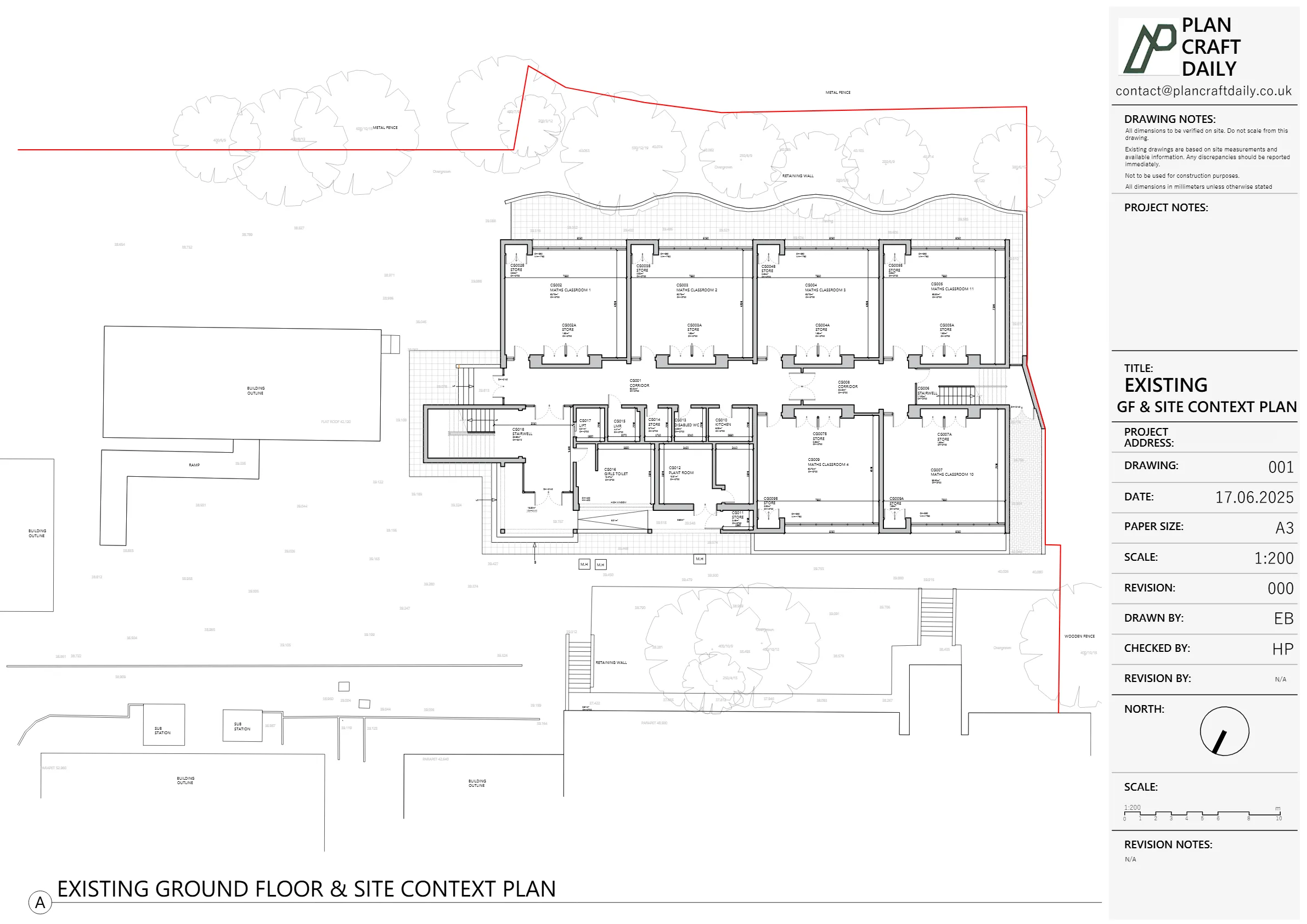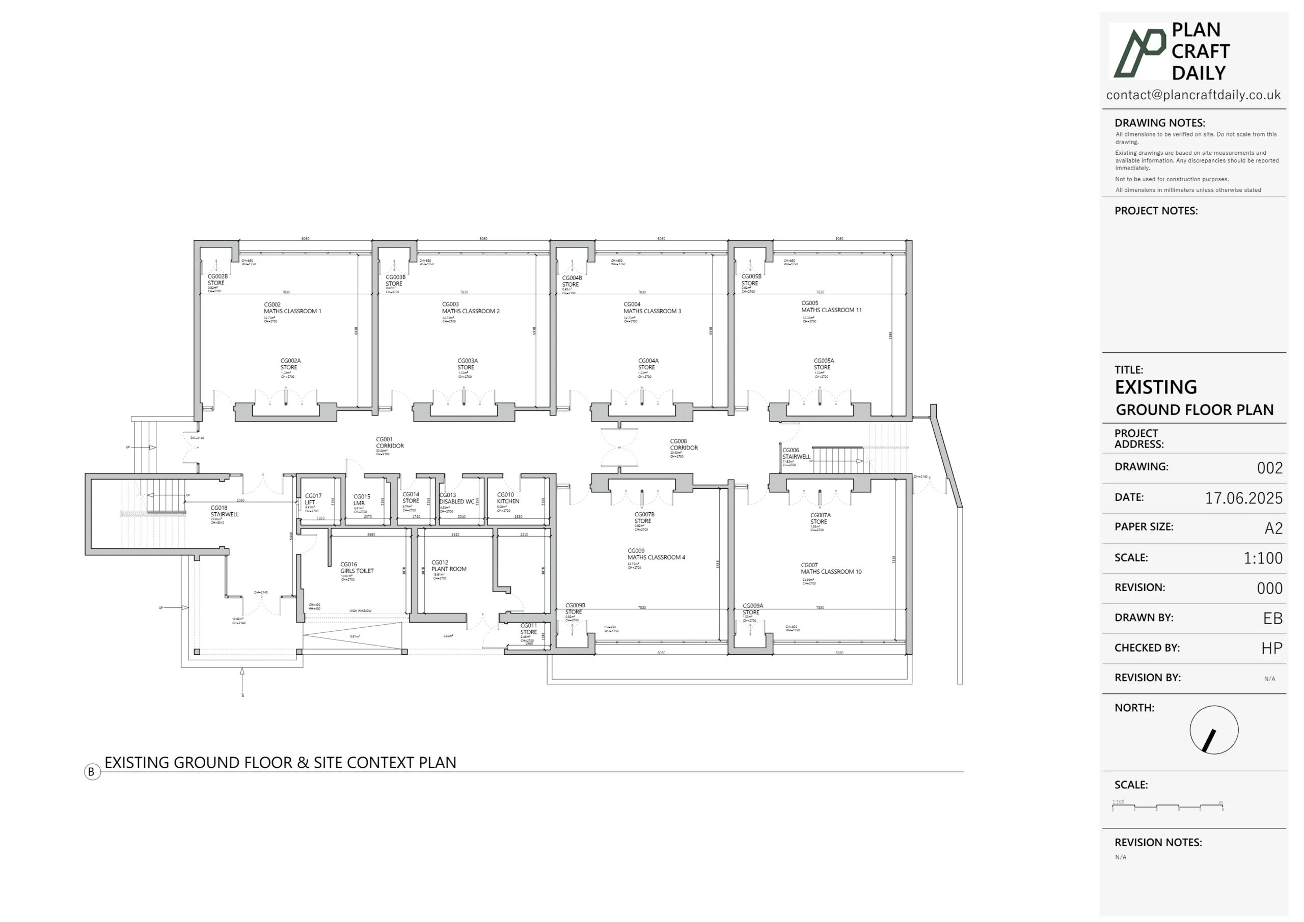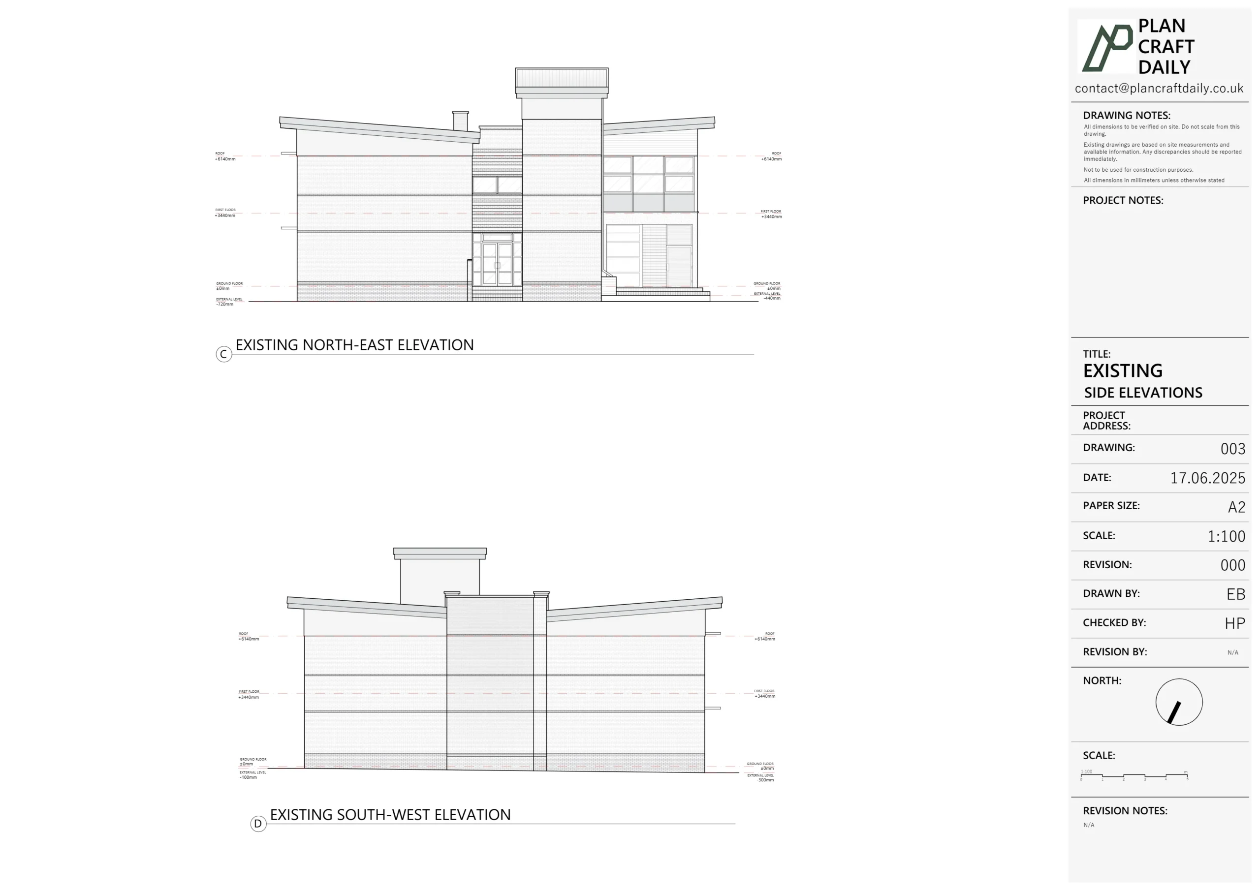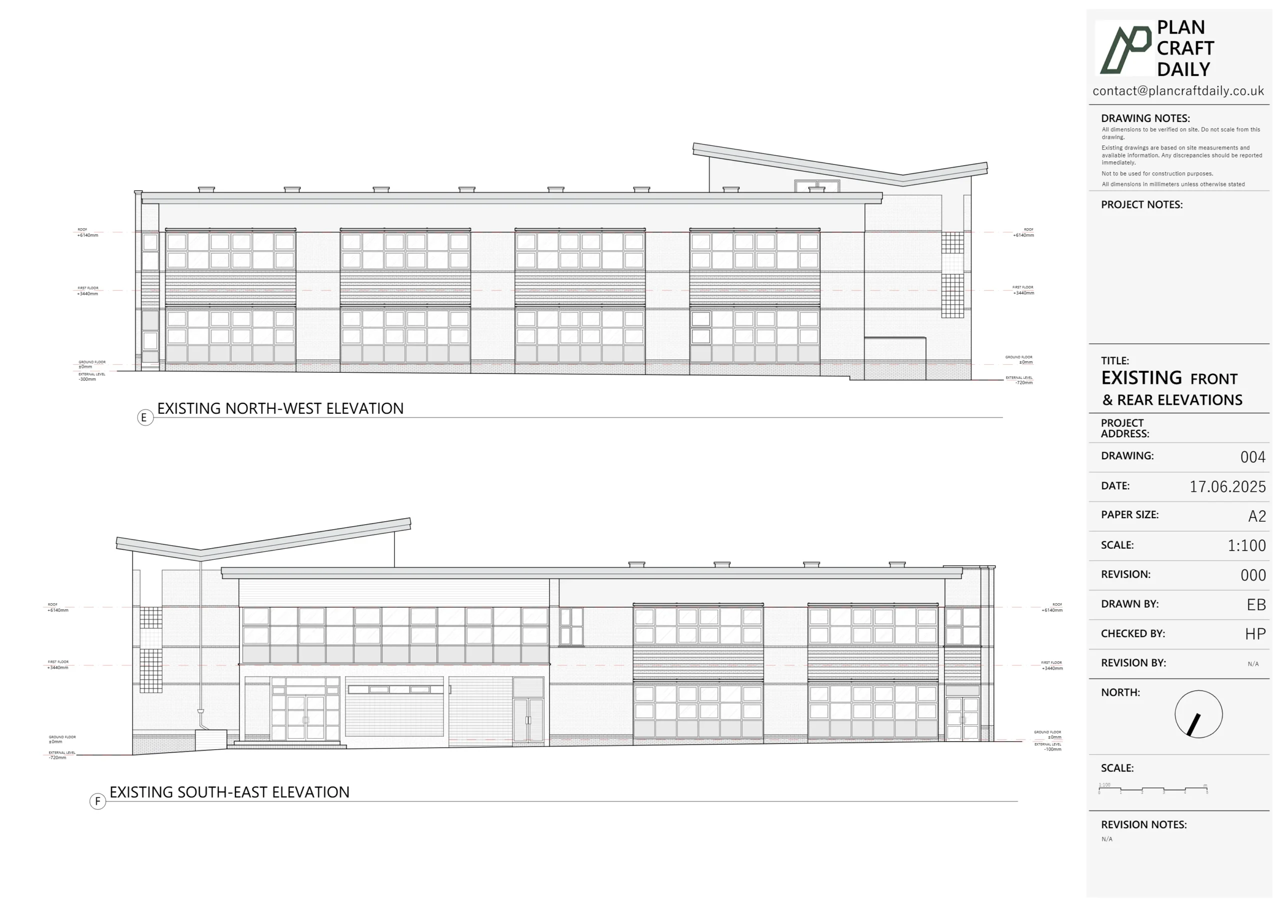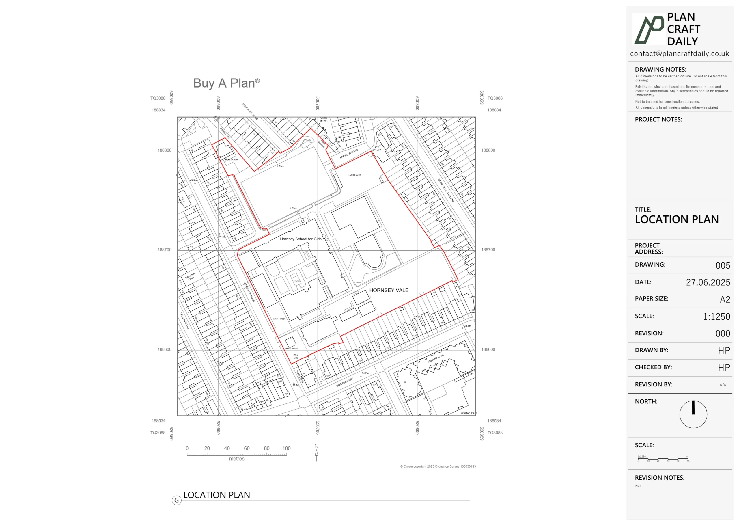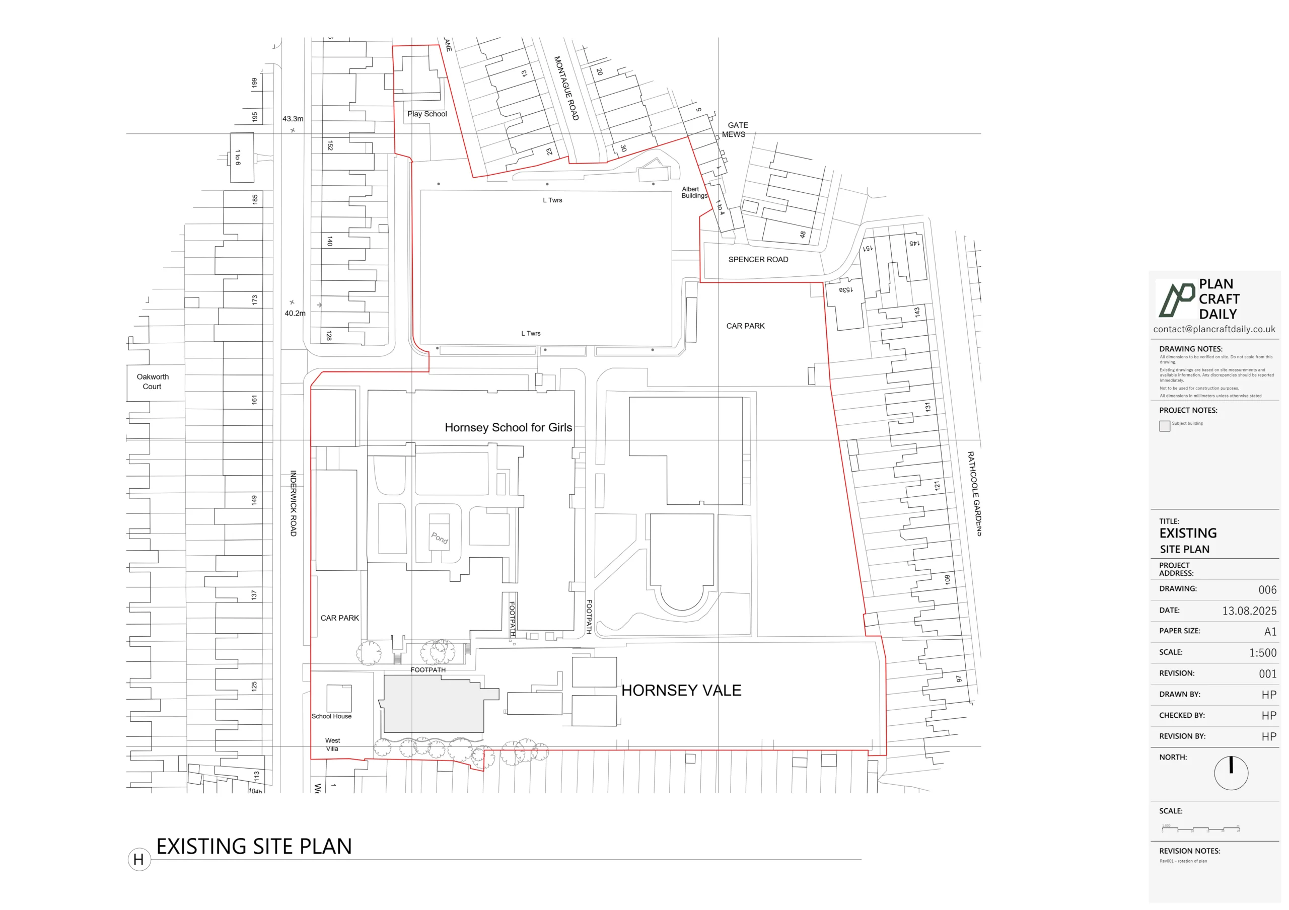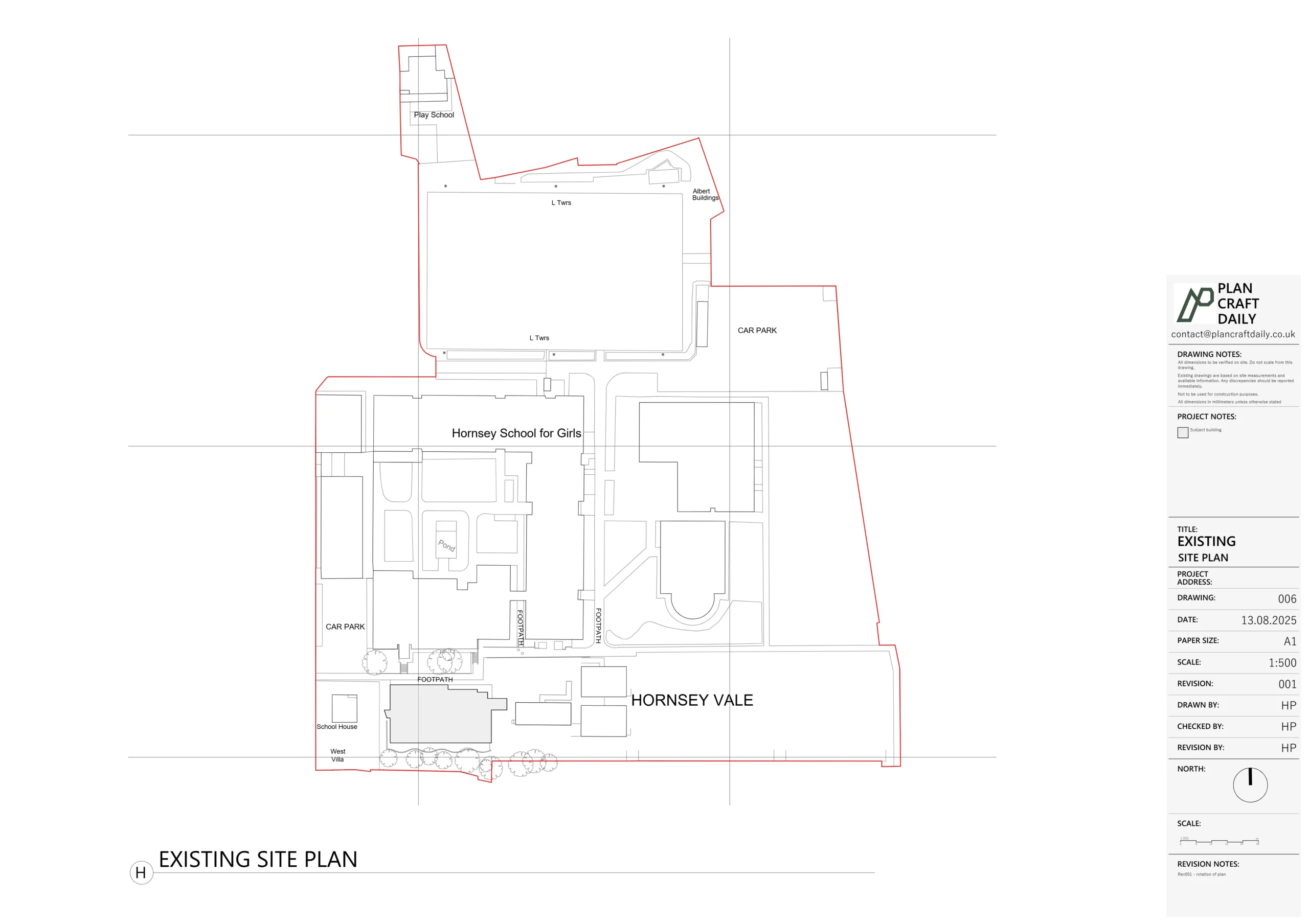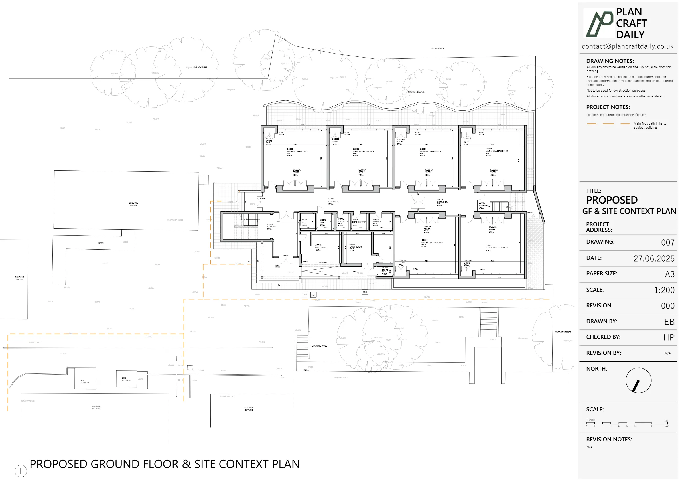
Accurate floor plans, elevations and sections for homes and commercial buildings across Newham — from Victorian terraces in East Ham to regeneration flats around Stratford and the Royal Docks. Delivered in CAD (DWG) and PDF
When you need a measured survey Newham property owners can trust, the work begins with precise on-site measurement — whether that is a Victorian terrace in Forest Gate or a new-build flat overlooking Queen Elizabeth Olympic Park. Good drawings start with good data. Measure carelessly, and every later decision carries the mistake forward. So we measure with care, record the detail, and give you a pack you can act on.
Plan Craft Daily Ltd is a UK-based measured survey and architectural drawing company. We work right across the London Borough of Newham, from East Ham and Plaistow to Stratford and the Royal Docks. Here is exactly what we do, how the process runs, and why local knowledge counts for so much in this corner of east London.
A measured survey is an accurate record of a property as it stands today. It captures the size, shape and key features of the building, inside and out. From that record, we produce clean, scaled drawings.
On site, our surveyor gathers the detail your architect or planner will need. This usually covers:
We also take photographs and a video walkthrough. These give a clear visual record to refer back to once the visit is done.
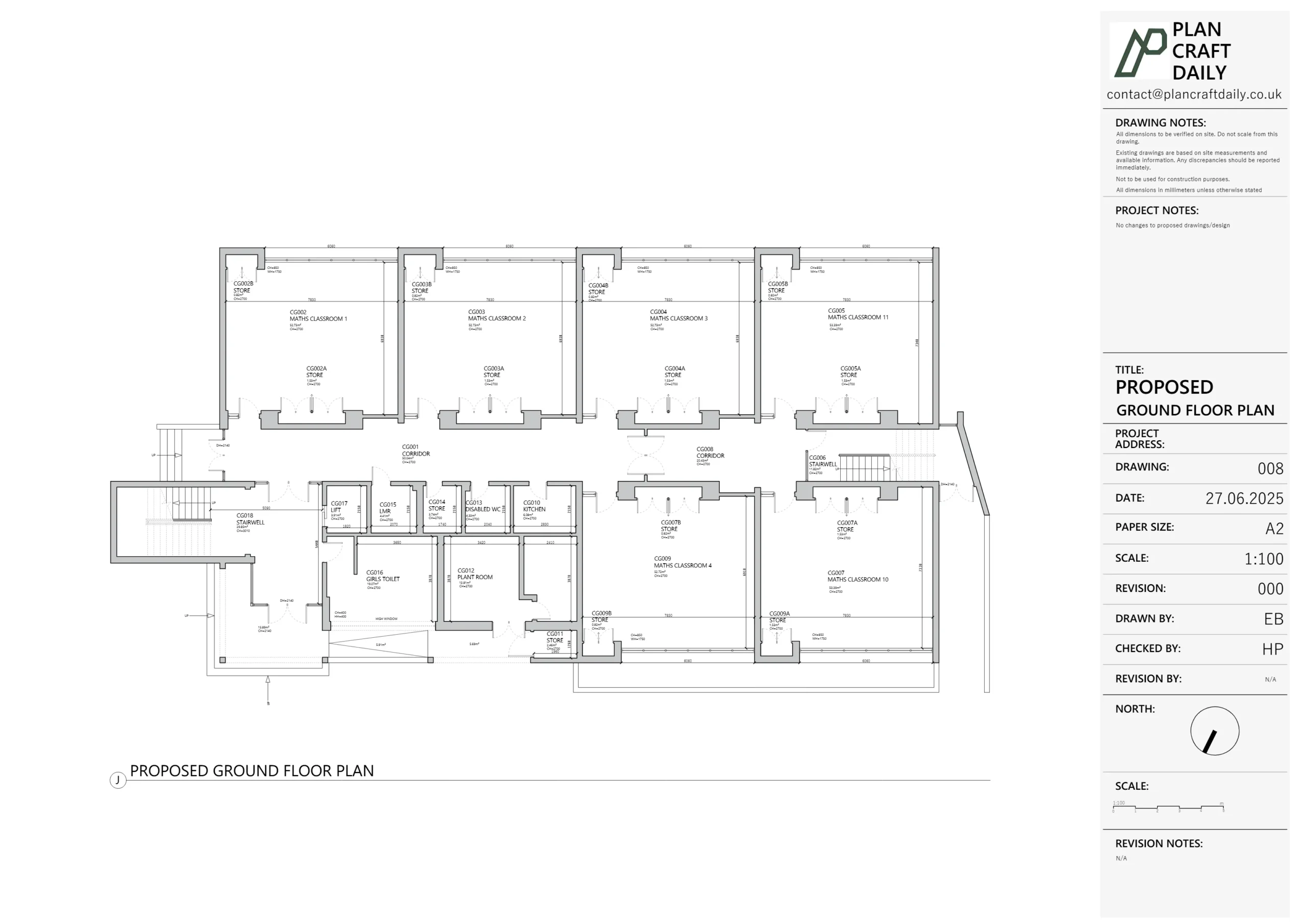
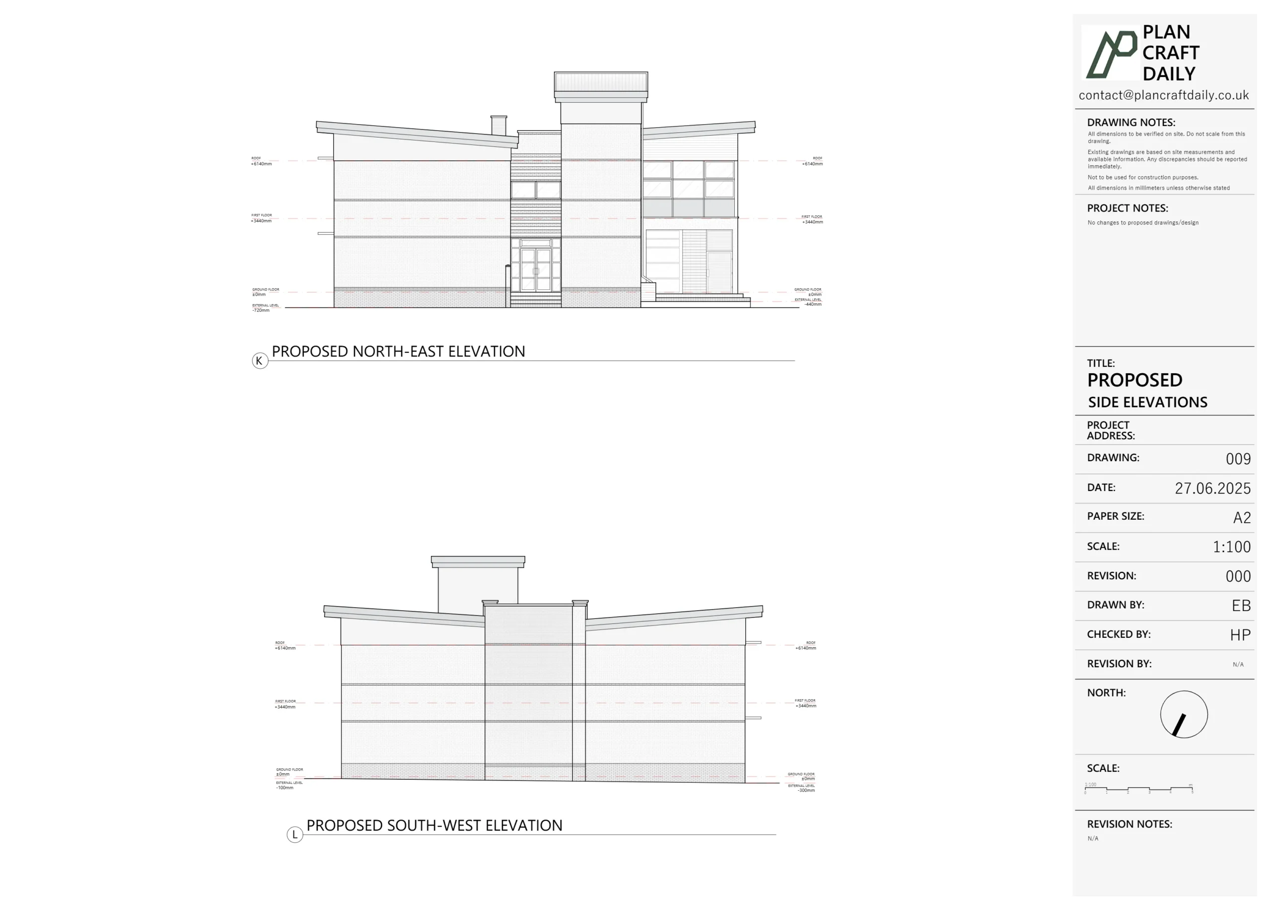
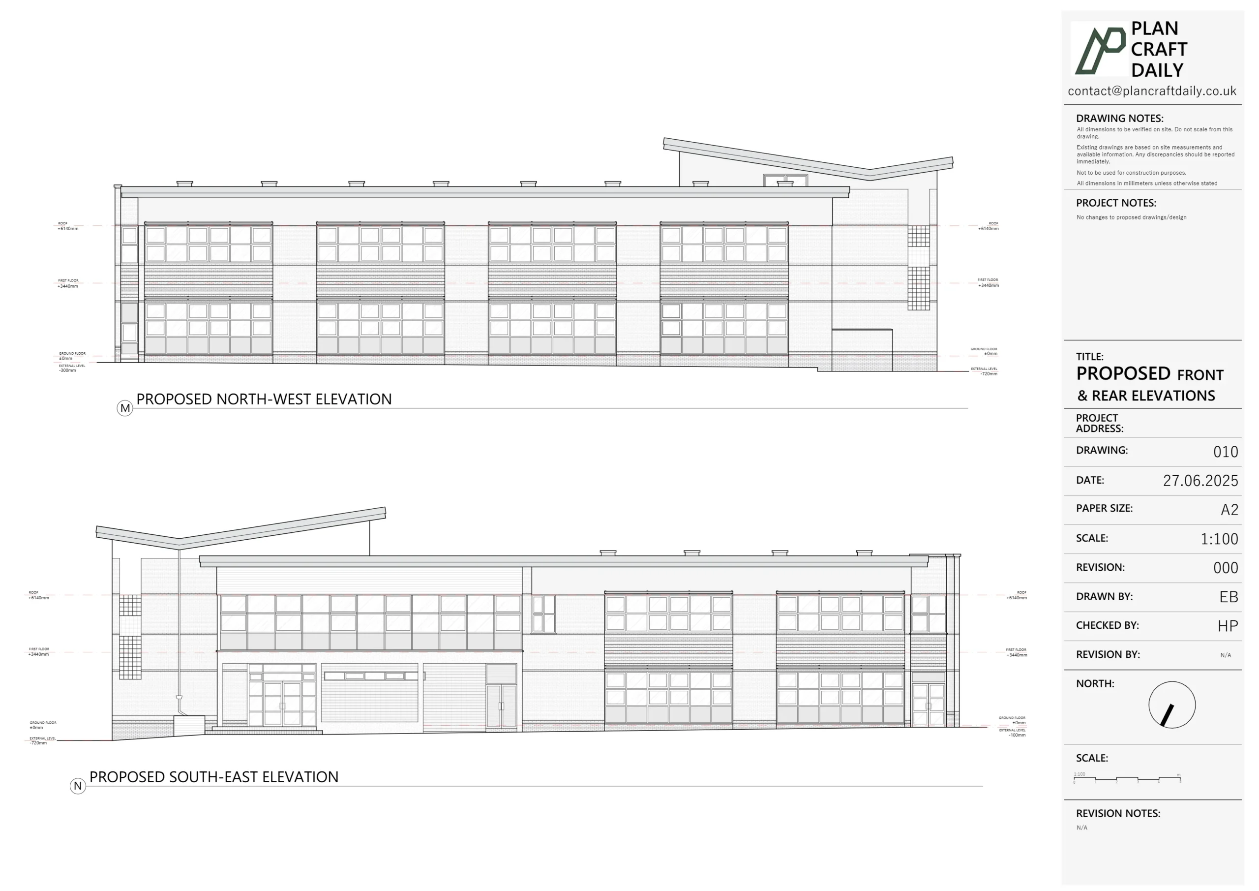
Three drawings do most of the heavy lifting. Floor plans show the layout from above. Elevations show each external face of the building. Sections slice through the property to show heights and how floors relate. We draw all of them in CAD and supply editable DWG files alongside print-ready PDFs, usually at 1:100 scale.
Newham is one of London’s most varied boroughs. Old and new sit side by side, and each brings its own challenges to the tape measure.
Across East Ham, Forest Gate, Plaistow and Manor Park, long terraced streets define the area. Many of these homes have been extended, converted or subdivided over the years. Original layouts and out-of-square walls are common, so careful measurement really matters.
Towards Stratford and the Royal Docks, the story is different. Olympic legacy regeneration has brought a wave of modern apartments and mixed-use blocks. Add the borough's many converted flats and houses in multiple occupation, and you have a busy market for both surveys and lease plans.

Share the property and what you need. We confirm scope and a clear quote.

We carry out the survey on site using survey-grade equipment.

We turn the data into clean, scaled CAD drawings, checked before delivery.

You receive editable DWG and PDF files, ready to use.
A measured survey is often just the beginning. We can take the project further.
Existing drawings, also called as-built drawings, show your property exactly as it is now. They are the bedrock of any proposed design. Without an accurate existing set, a proposal stands on shaky ground.
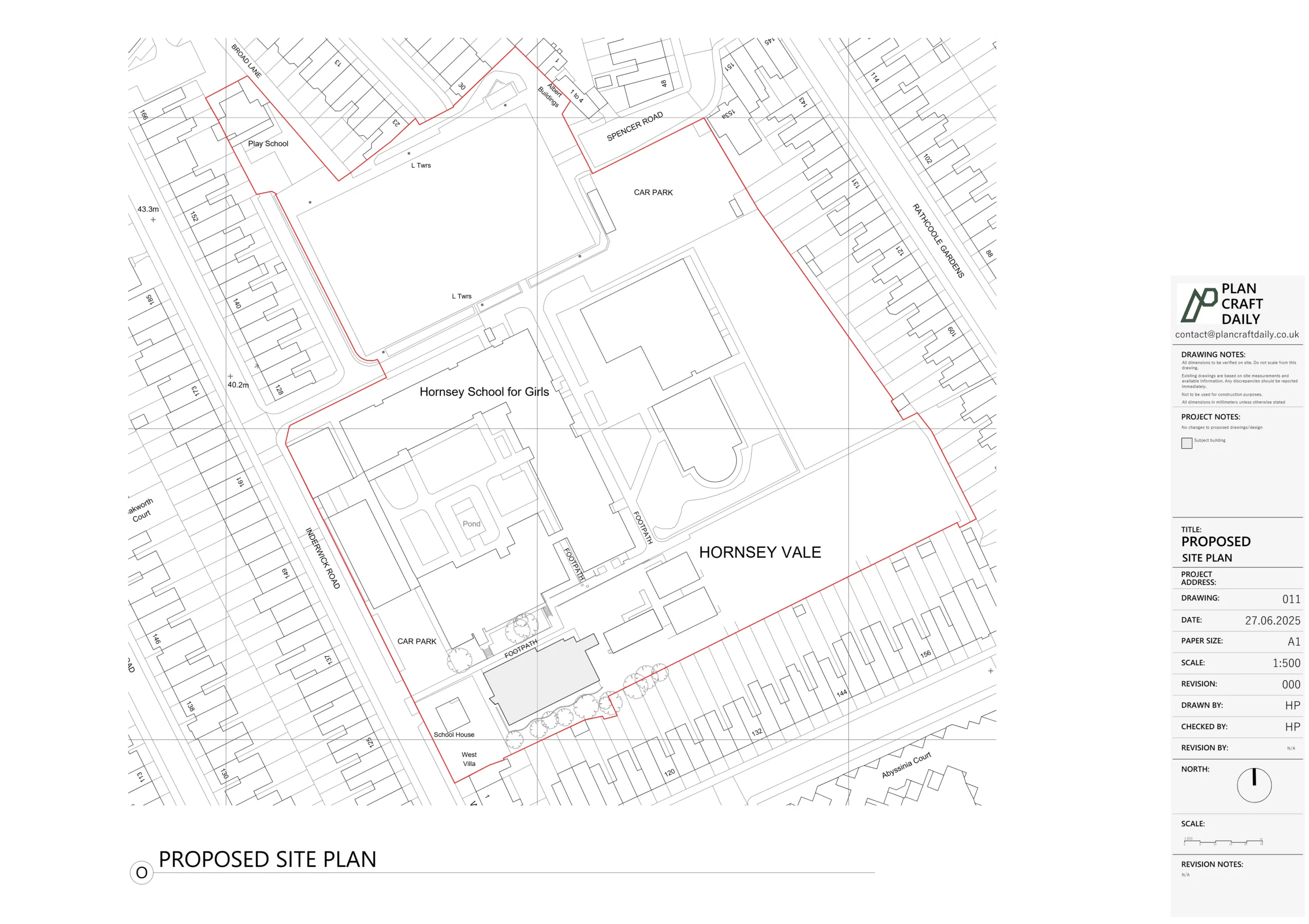
When the wider plot matters — a garden room, a new outbuilding or a sloping site — a topographical survey records levels, boundaries and site features. It pairs naturally with a building survey.
With so many flats and conversions in the borough, lease plans are in steady demand. We produce plans that meet Land Registry requirements, with the demised area clearly marked and ready to file.
We cover the whole borough. The table below maps the main postcode districts to the areas they serve.
Postcode | Areas covered |
E6 | East Ham, Beckton |
E7 | Forest Gate, Upton Park |
E12 | Manor Park |
E13 | Plaistow |
E15 | Stratford, West Ham, Maryland |
E16 | Canning Town, Custom House, Royal Docks |
E20 | Stratford, Olympic Park |
Beyond the postcodes, here are the neighbourhoods our surveyors know well:
Every project ends with a clear, usable deliverable. You can expect:
Local geography is more than background. It shapes how a job runs. A surveyor who knows the borough understands the gap between a tight terraced plot in East Ham and a riverside apartment at the Royal Docks. That awareness helps us plan access, expect the quirks, and capture the right detail first time.
Newham has several conservation areas, including the Woodgrange Estate in Forest Gate, where alterations face extra scrutiny. When a planning officer is weighing up a sensitive setting, accurate existing drawings are essential. Get the record right, and the whole application moves along more easily.
If your project needs planning permission, it will be considered by the London Borough of Newham. You can find guidance, the local planning register and application advice on the Newham Council planning department website. Our drawings are prepared to a standard that supports a clean, professional submission.
Most standard homes are measured on site within a few hours. We then prepare your draft drawings and issue the final pack after your review. The exact timeline depends on the size and layout of the property.
We cover the whole borough, including East Ham and Beckton (E6), Forest Gate and Upton Park (E7), Manor Park (E12), Plaistow (E13), Stratford and West Ham (E15), Canning Town, Custom House and the Royal Docks (E16), and the Olympic Park area (E20).
The survey is the on-site measuring work. Existing drawings are the scaled plans we produce from that data. Most projects need both, and we deliver them together.
Yes. We supply editable DWG files alongside ready-to-print PDFs, so your architect can work directly with the drawings.
We can. From period terraces and converted flats to shops, offices and mixed-use blocks, we measure and draw a wide range of property types across the borough.
In most cases, yes. Accurate existing drawings are the starting point for any proposed design, and they support a clean application to Newham Council.
Accurate drawings save time, money and worry. They give your architect a solid base and your project a confident start. If you own a property in Newham and need a precise, professional drawing pack, we are ready to help.