Is a Measured Survey Required for Every Planning Application?
No — a measured survey is not required for every planning application; the information required depends on the proposal and the relevant local planning authority.
A local planning authority is the council or other body responsible for deciding planning applications in a given area. It applies national requirements alongside its local validation requirements.
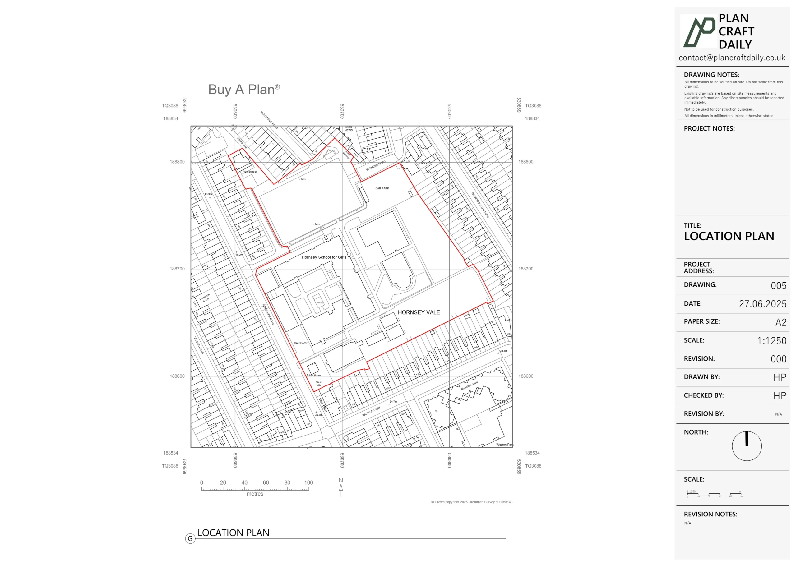
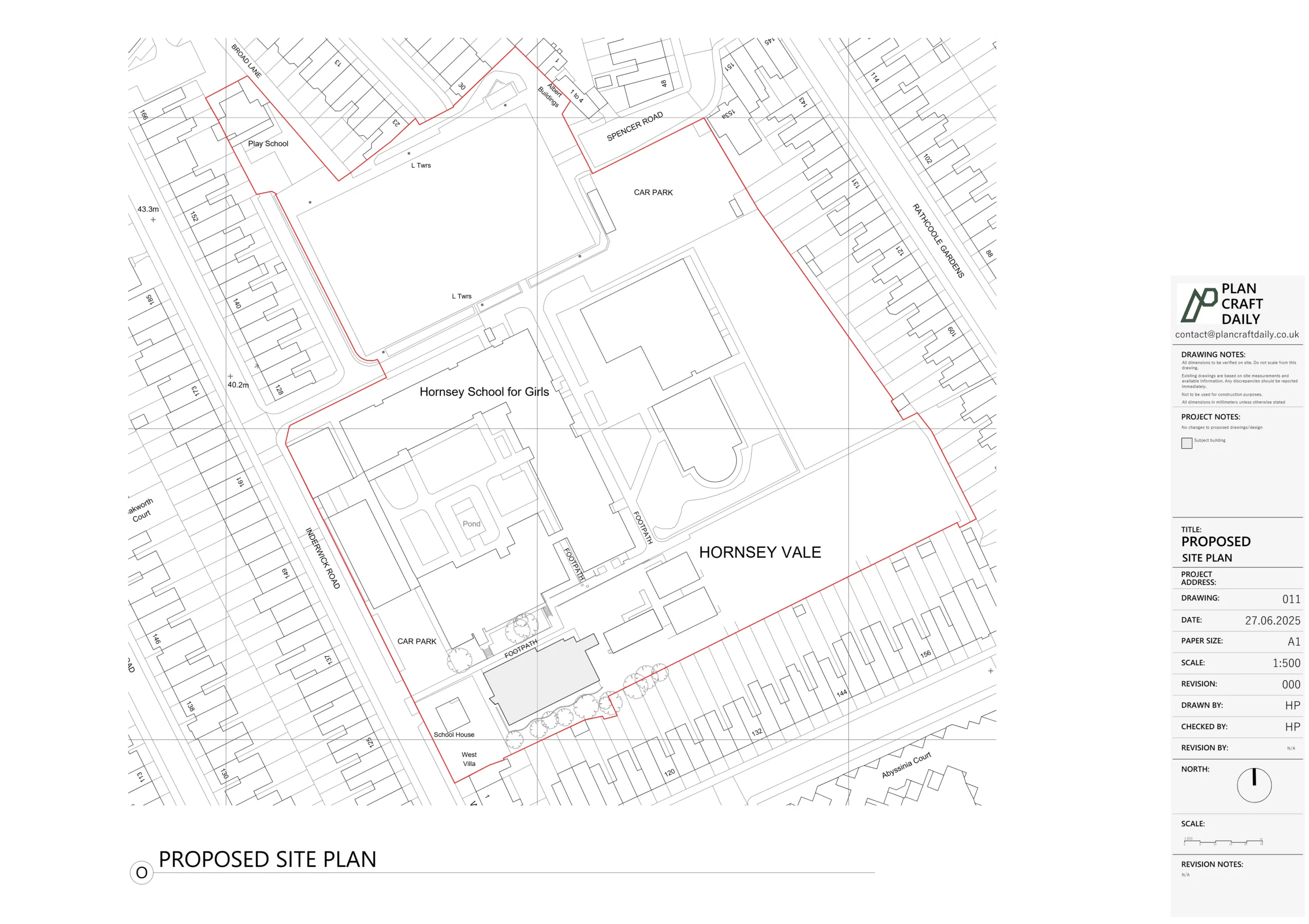
GOV.UK states that plans and drawings form part of the national information requirements for a planning application. At minimum, an application needs a location plan; additional plans and drawings are usually needed to describe the proposed development. Check your local authority's current validation requirements through GOV.UK's guidance on making a planning application before commissioning surveys or drawings.
When Does a Planning Project Need Accurate Existing Drawings?
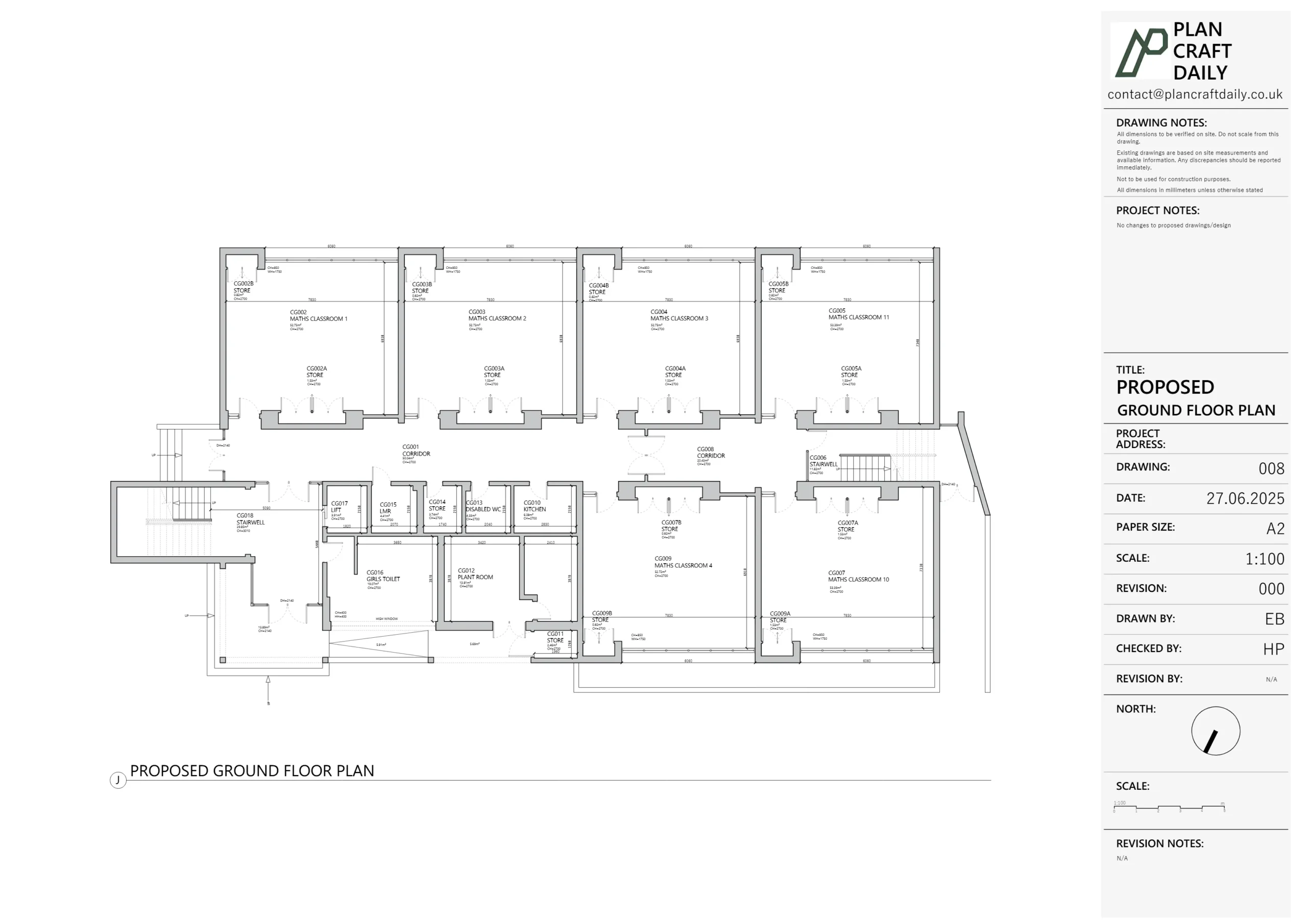
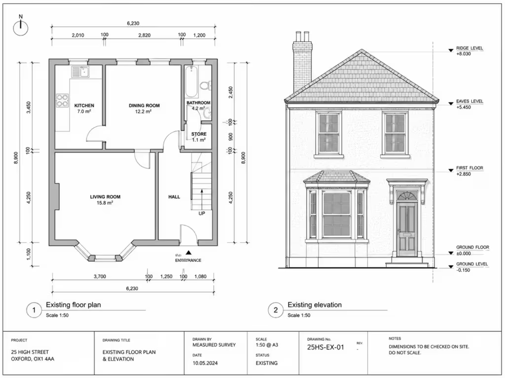
A planning project often needs accurate existing drawings where the proposal changes the property's layout, form or scale and the application needs to show the existing property alongside the proposed development.
Plans and drawings are used for most application types to help the local planning authority understand both the existing property and the proposal. The required drawing set varies according to the work.
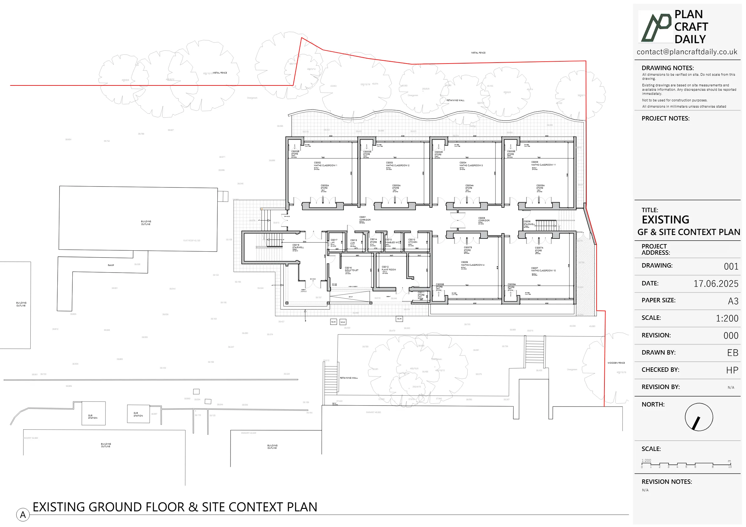
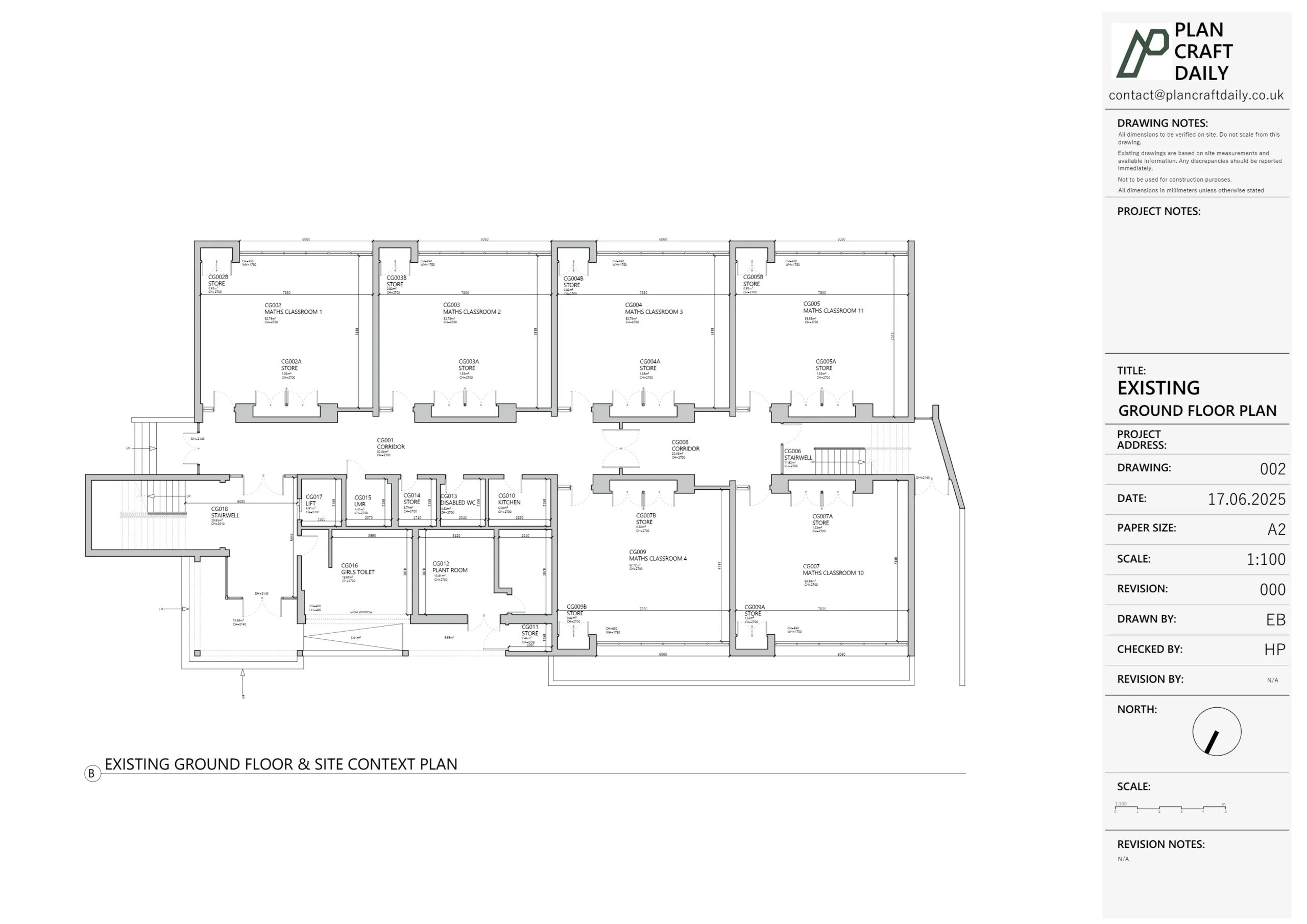
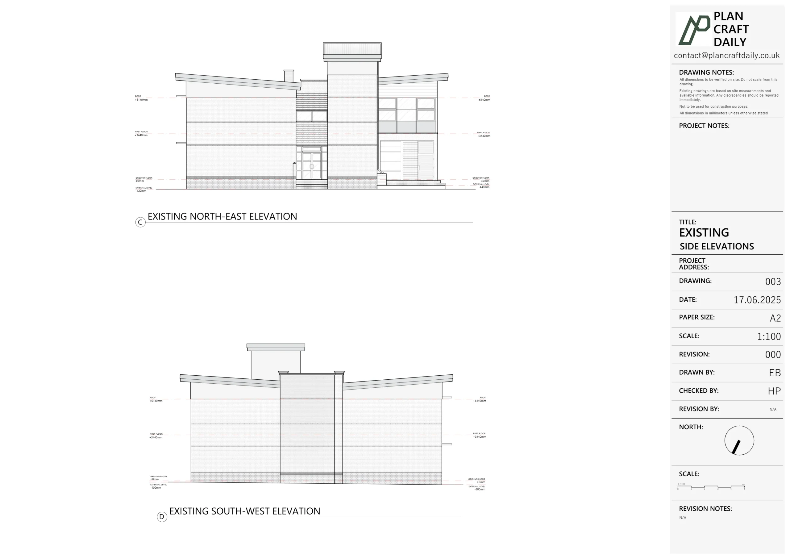
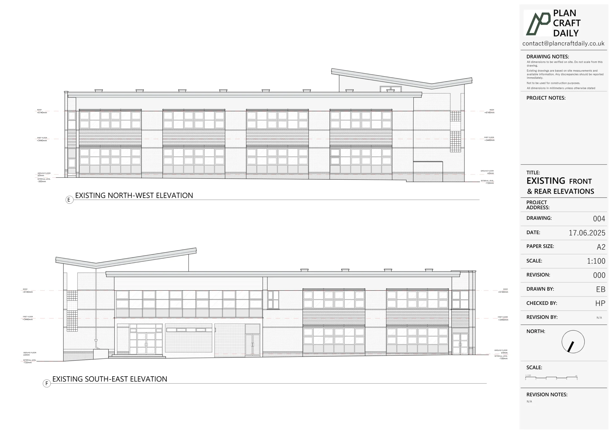
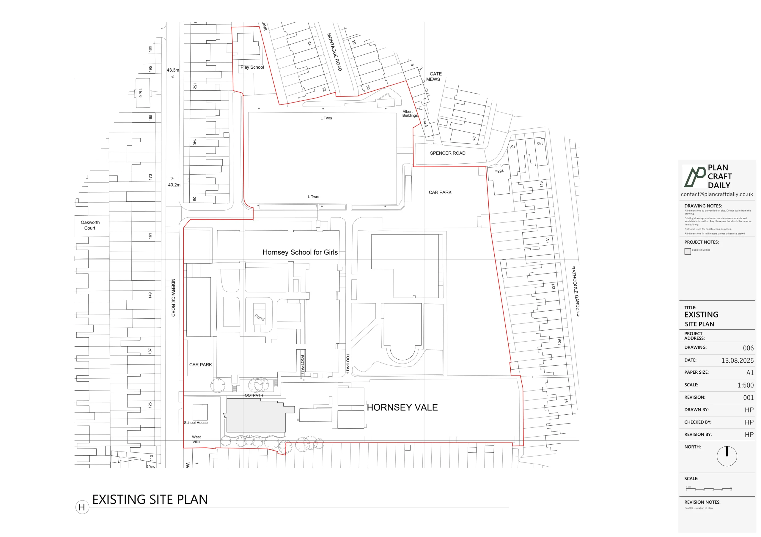
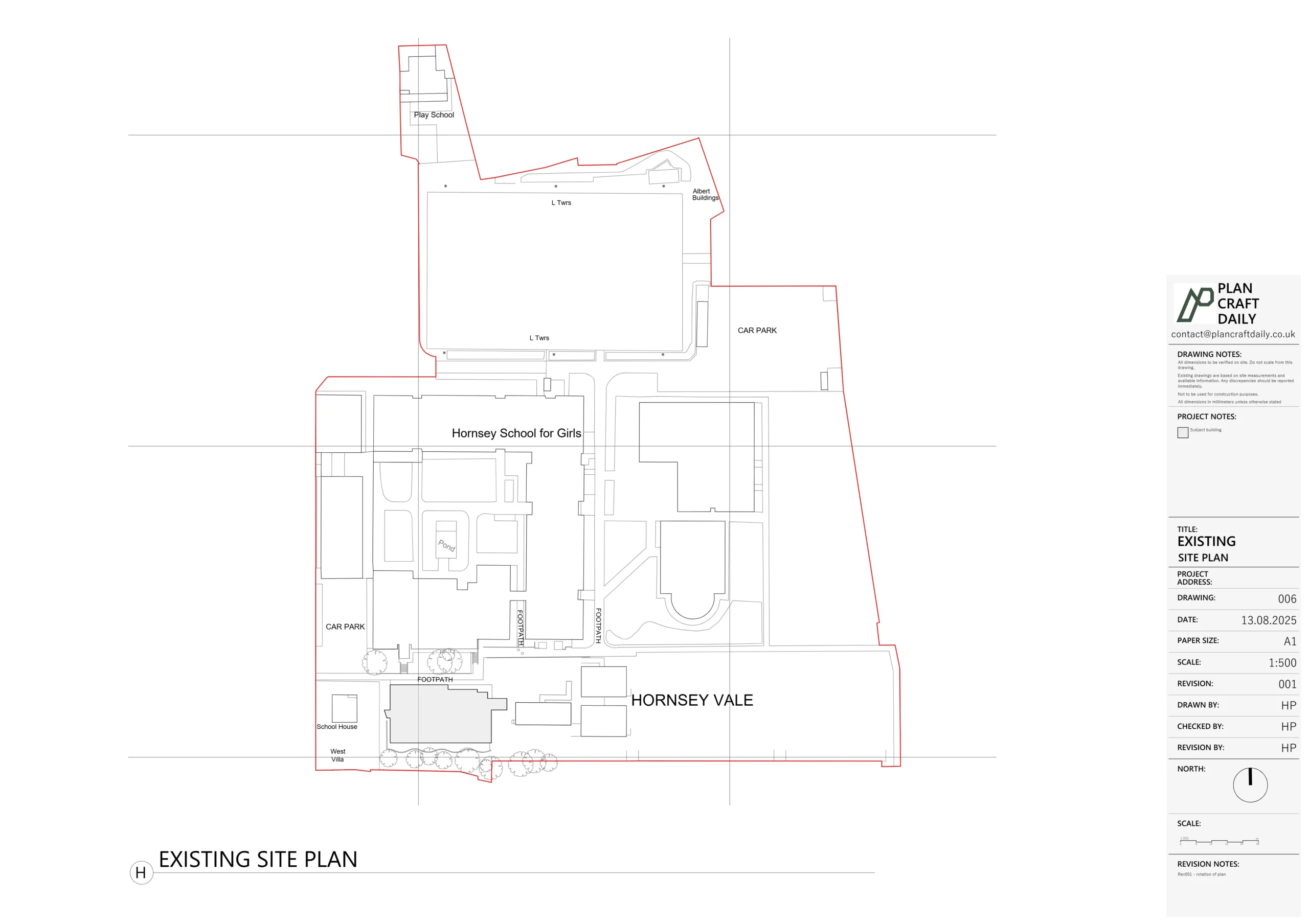
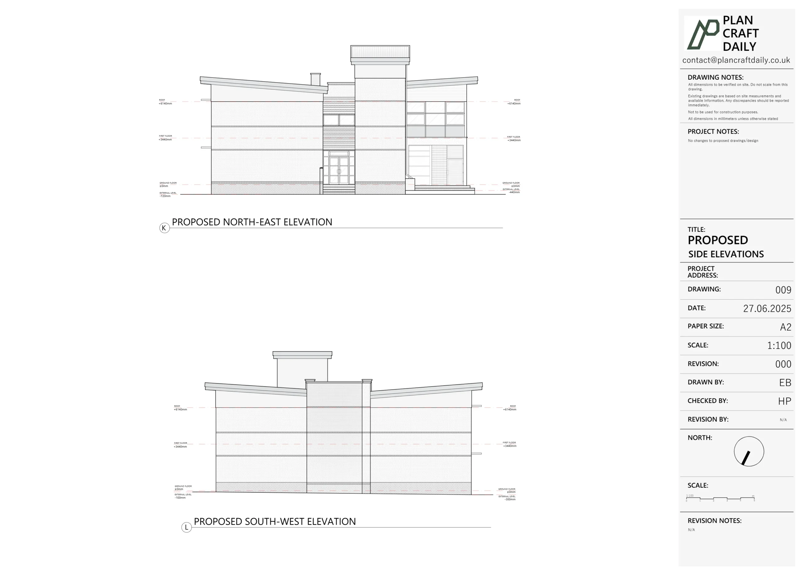
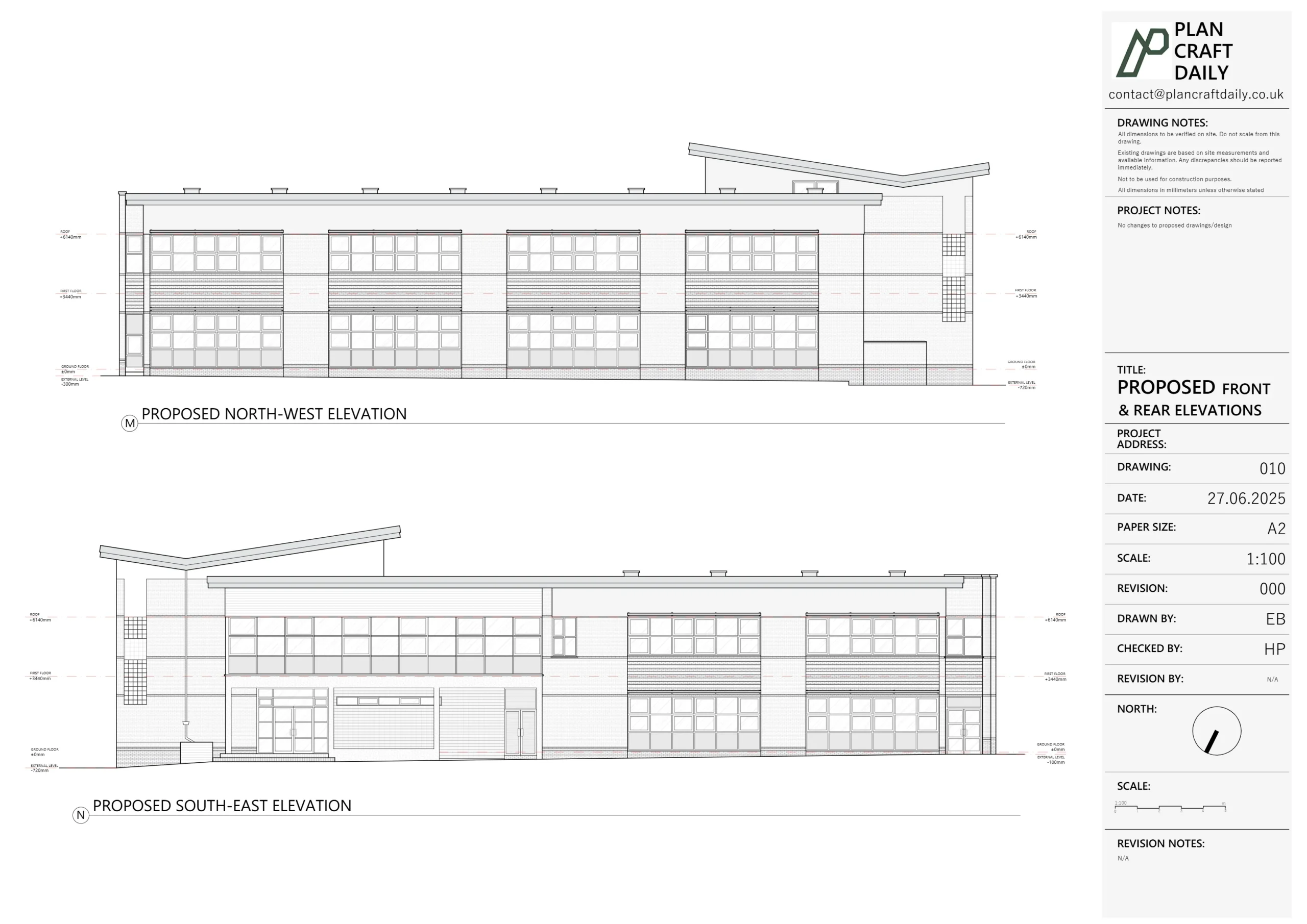
Existing drawings are agreed outputs produced from measured site information. They can include floor plans, elevations, sections, roof plans or site plans, depending on the scope.
How Does a Measured Survey Support Existing and Proposed Drawings?
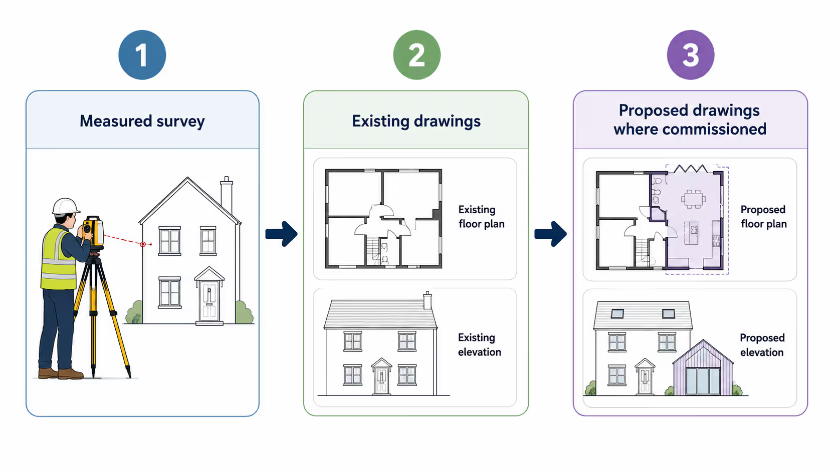
A measured survey records a property's current layout, dimensions and relevant visible features on site. That information is then used to prepare existing drawings and can inform proposed drawings where separately commissioned.
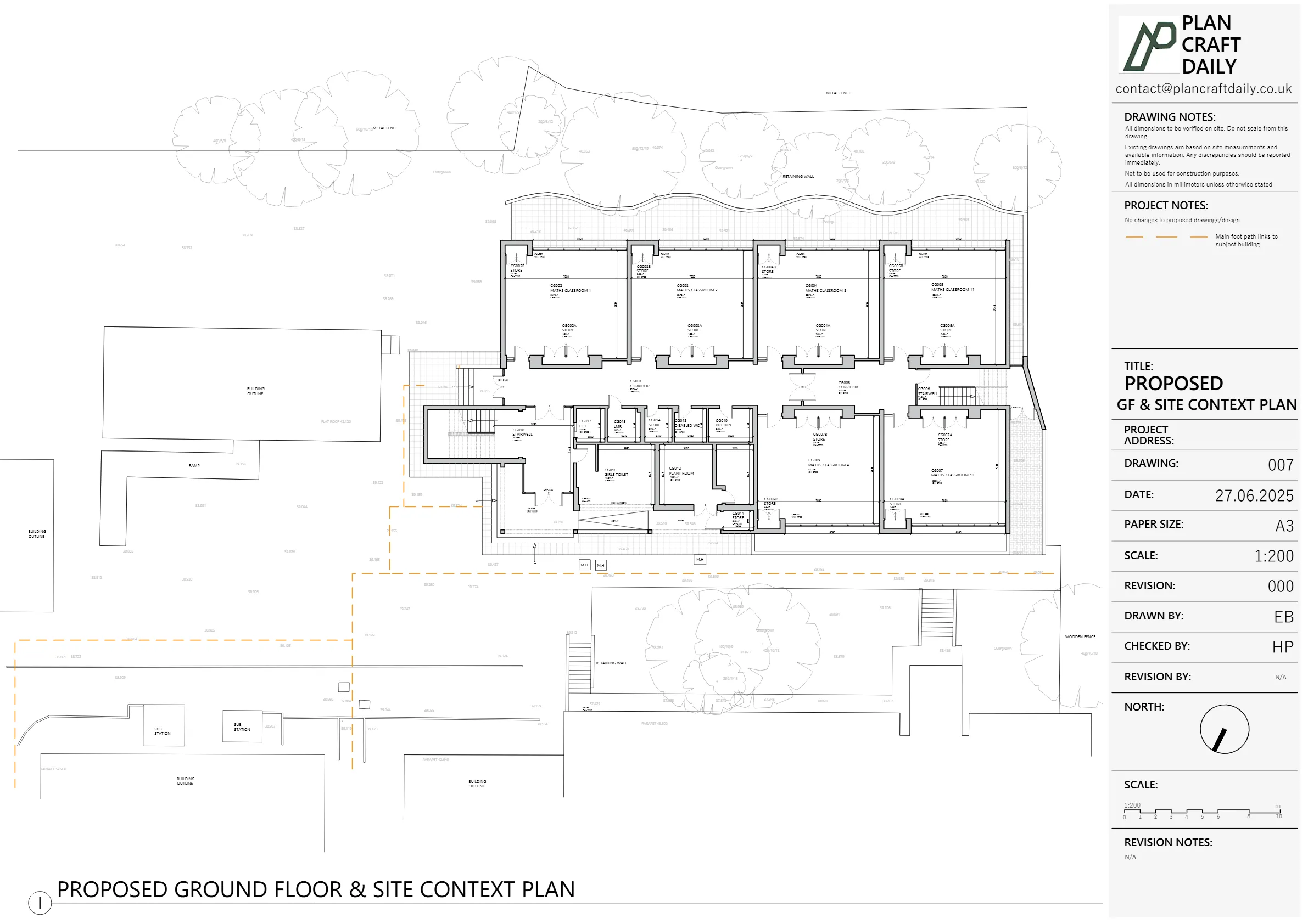
These are connected but distinct parts of the process. A measured building survey records the existing property. Existing drawings show that property as it exists. Proposed drawings show an agreed proposed design, prepared from a client-approved brief where that service is commissioned.
Which Planning Drawings Might Be Needed?
The drawings needed depend on the proposal and the applicable national and local requirements.
A location plan is a national requirement for a planning application. Additional drawings can be required to describe the proposal clearly, such as existing floor plans, elevations, sections, roof plans or site plans.
Where a measured survey supports a planning project, the agreed scope can include these existing-property views. Not every project requires every view. The proposal and the relevant validation requirements determine which information is needed.
What Should You Check Before Commissioning a Survey?
Check the local planning authority's current validation requirements and confirm that a measured building survey is the right type of information for the project.
A measured building survey is not a condition, defect, valuation, party-wall or legal-boundary survey. It records the existing property's geometry and layout; it does not answer questions outside that scope.
Planning strategy, permitted-development advice and the likelihood of approval are also outside the scope of a measured survey. An architect, planning consultant or the relevant local planning authority can advise on those matters.
What Does Plan Craft Daily Provide for Planning-Related Projects?
Plan Craft Daily provides measured building surveys and agreed 2D existing drawing outputs in DWG and PDF formats. It can also prepare proposed drawings from a client-approved brief where commissioned.
Plan Craft Daily does not submit planning applications, manage council correspondence or guarantee planning approval. It also does not take responsibility for structural, MEP, design-team or construction-stage coordination.
Not sure what your project needs? Use the instant quote calculator to get an estimate for your property.
Get an Instant Quote