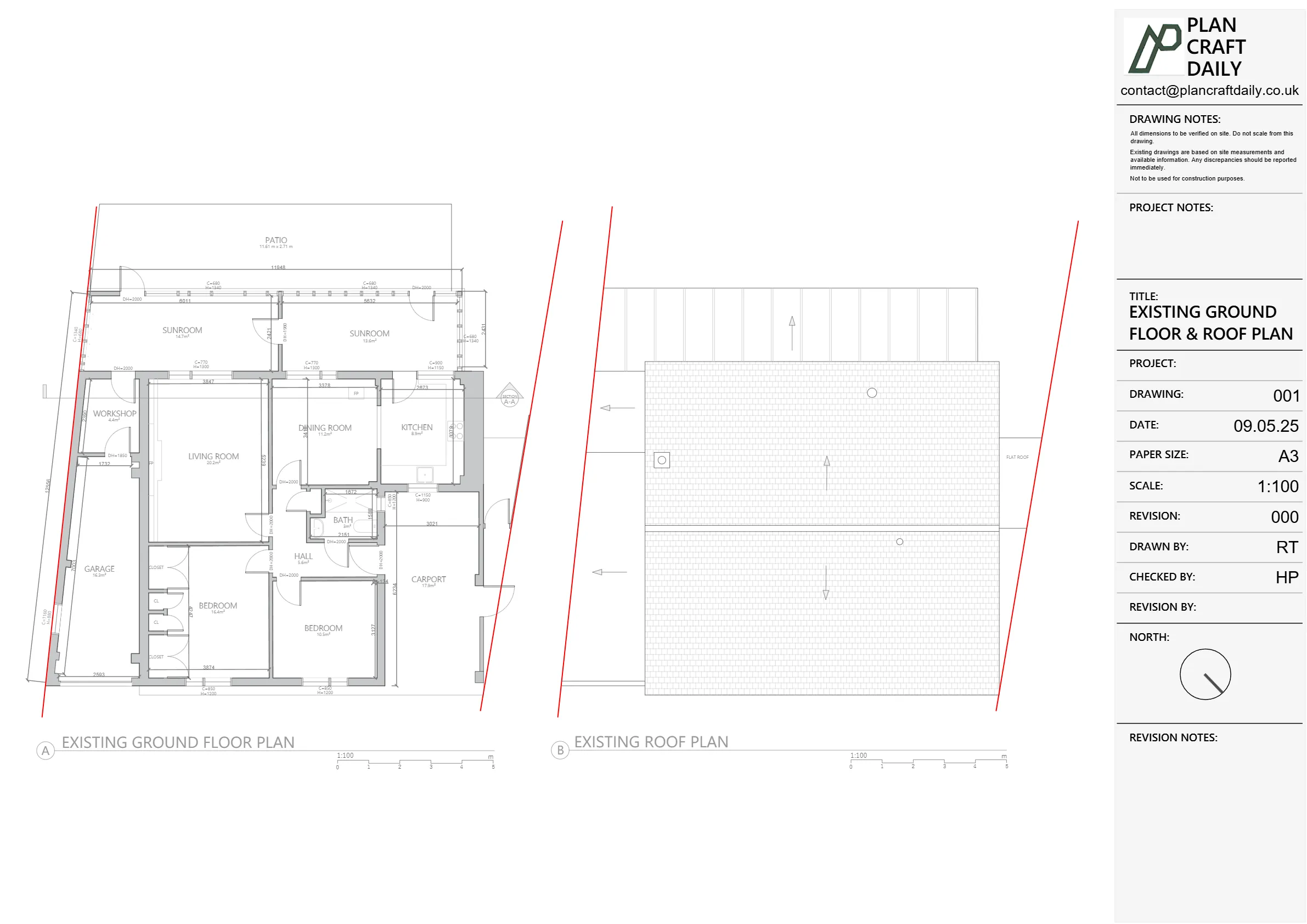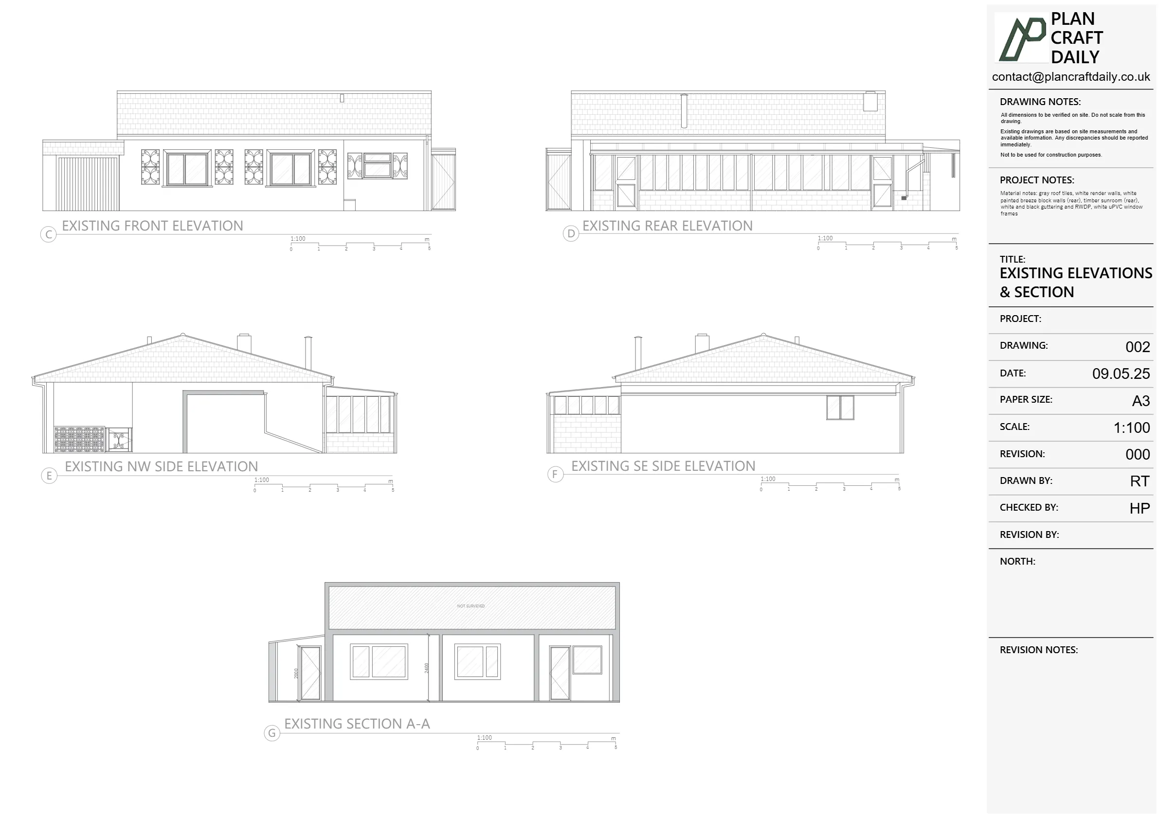
Eric and his client Karim asked us to carry out a full measured survey of a house in Wembley, including the loft and garden. They needed accurate DWG and PDF plans, a typical section, boundaries and trees, plus good photos to support design and planning work.
How we carried out the survey
For the measured survey, our surveyor used:
- A Disto laser for internal and external measurements
- A tablet/CAD workflow to record dimensions directly into our drawing system
- A full set of site photographs to capture context and tricky areas
This allowed us to pick up:
- All floor layouts including the loft
- Key structural lines, openings and level changes
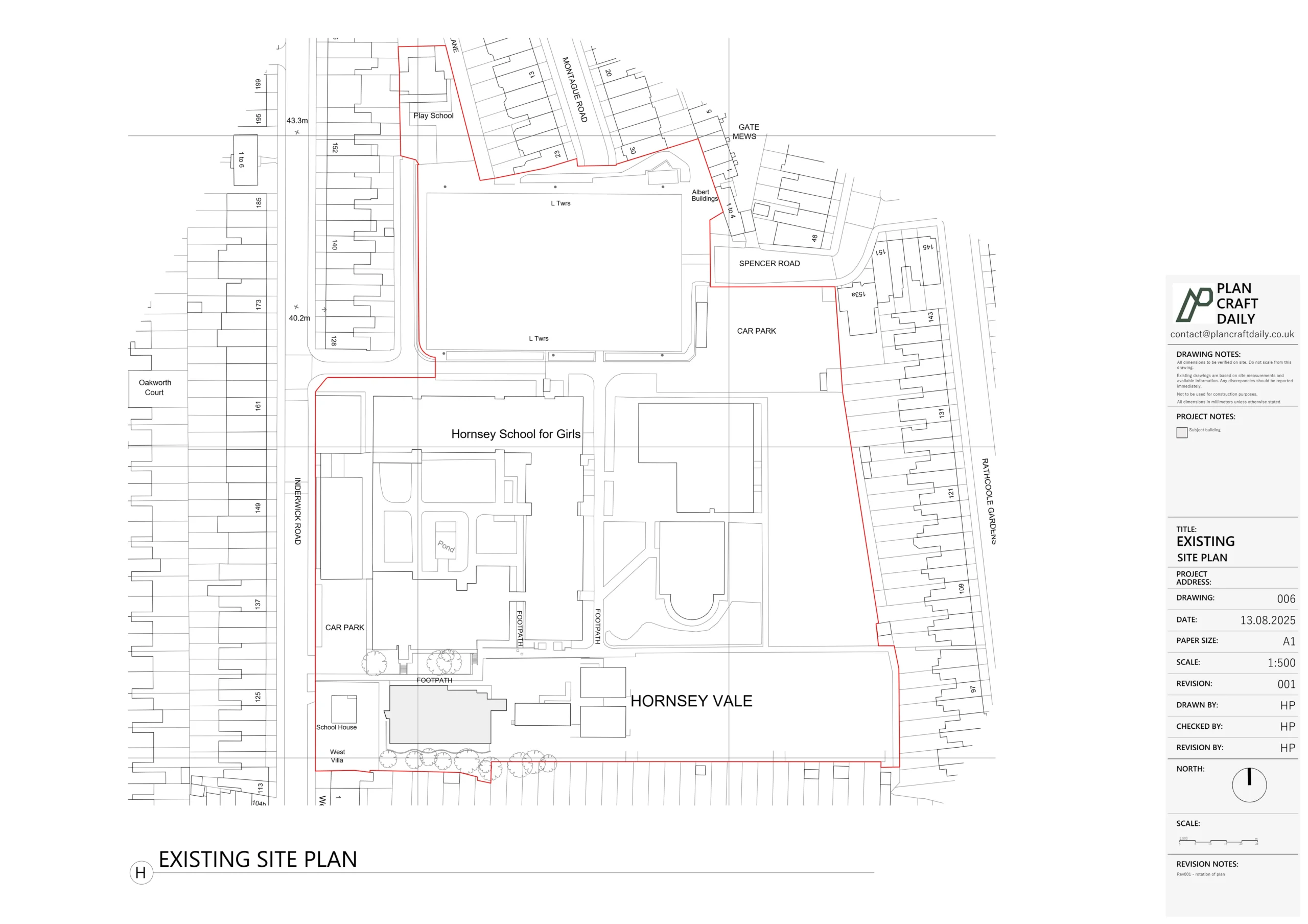
- Garden layout and visible features needed for design
After the first visit, Eric confirmed he also needed datum levels across the site, not just basic spot heights. We explained that this required a proper topographical survey, so we:
- Updated the quote to include topo work
- Booked a second visit once keys and timing were confirmed
For the topographical survey, our team used:
- A total station and Trimble X scanner (and similar advanced equipment)
- A fixed reference/datum so Eric’s team could design with consistent levels later
This let us map:
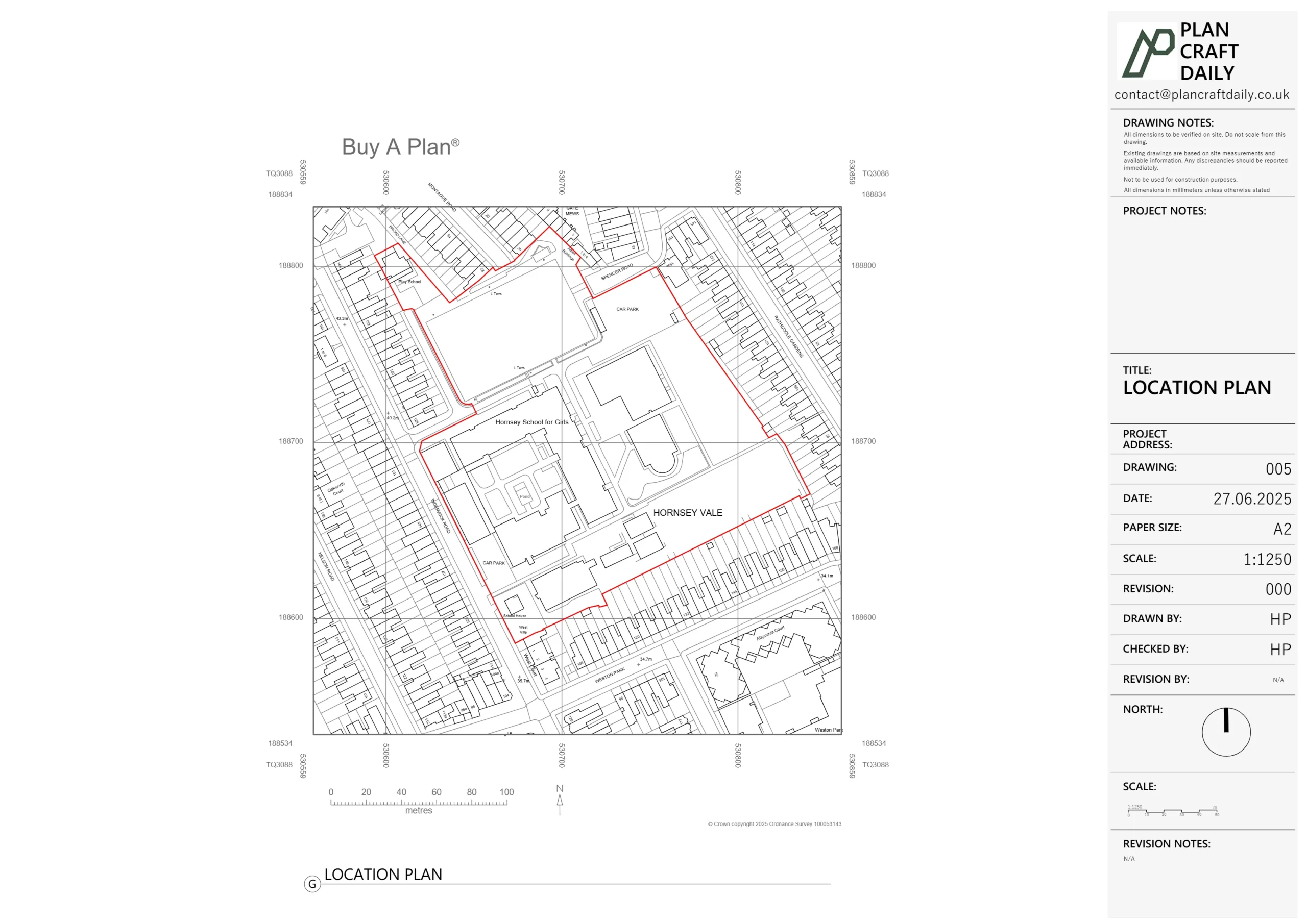
- Ground levels around the house and garden
- Key features, boundaries and any changes in height
- Information that could be aligned with the building survey in CAD
Drawings, checks and revisions
Back in the office, we combined the measured survey and topographical data into a single CAD model. From that, we produced:
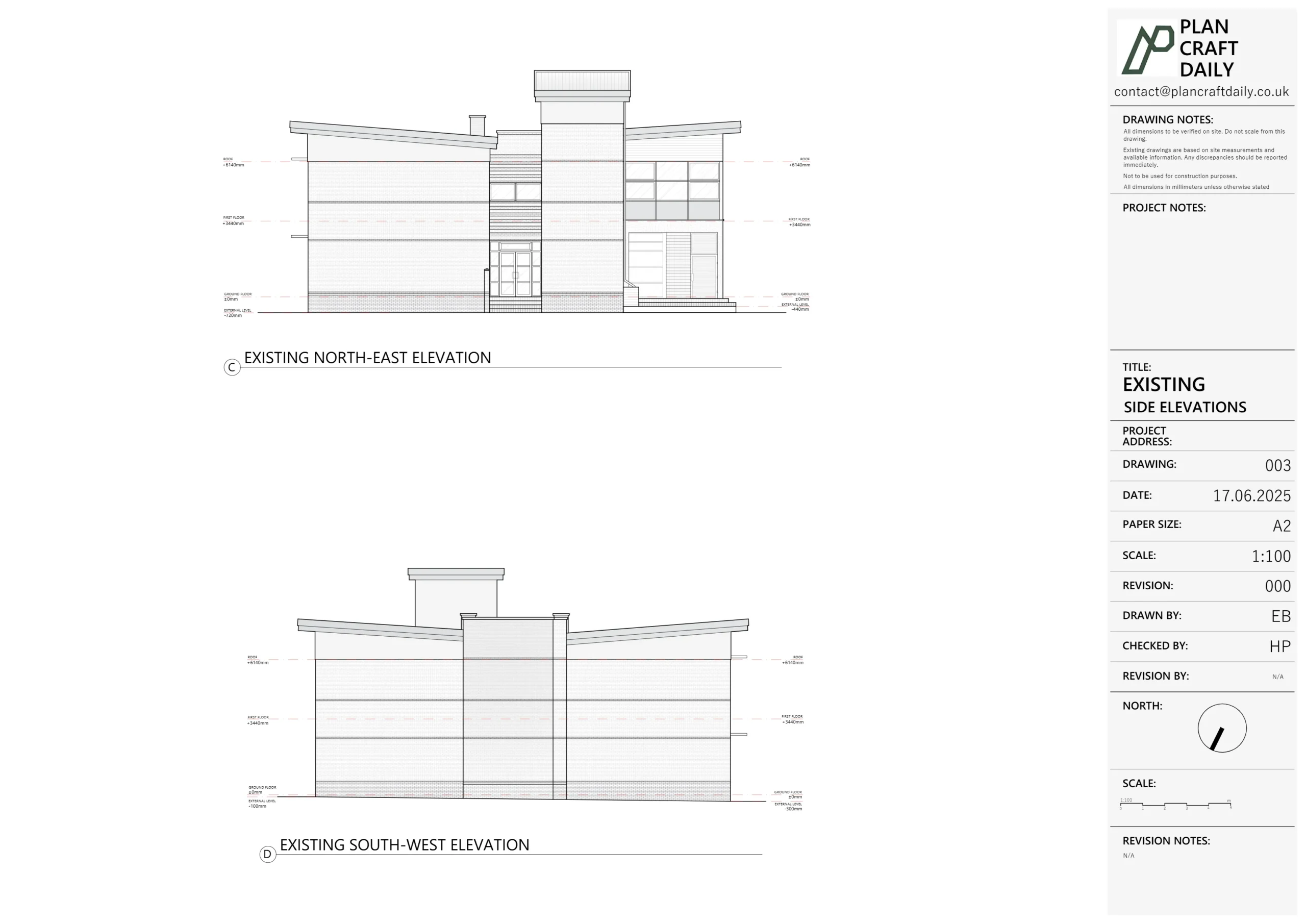
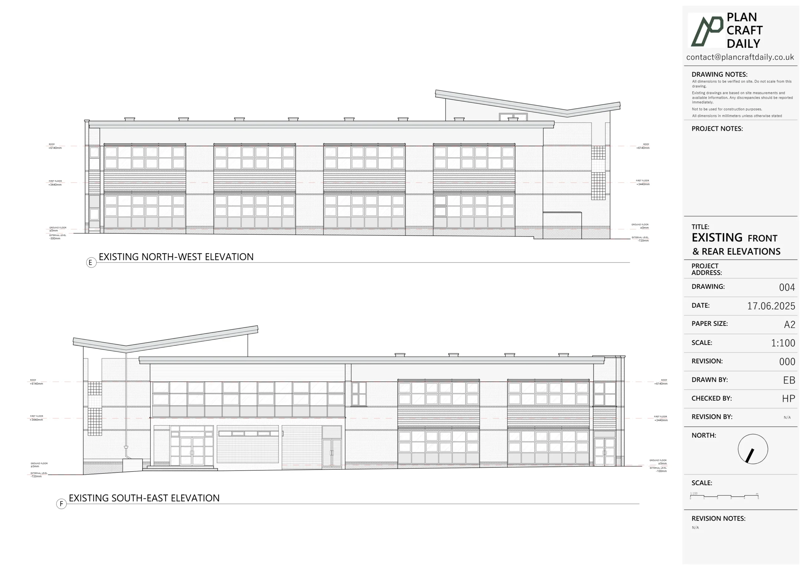
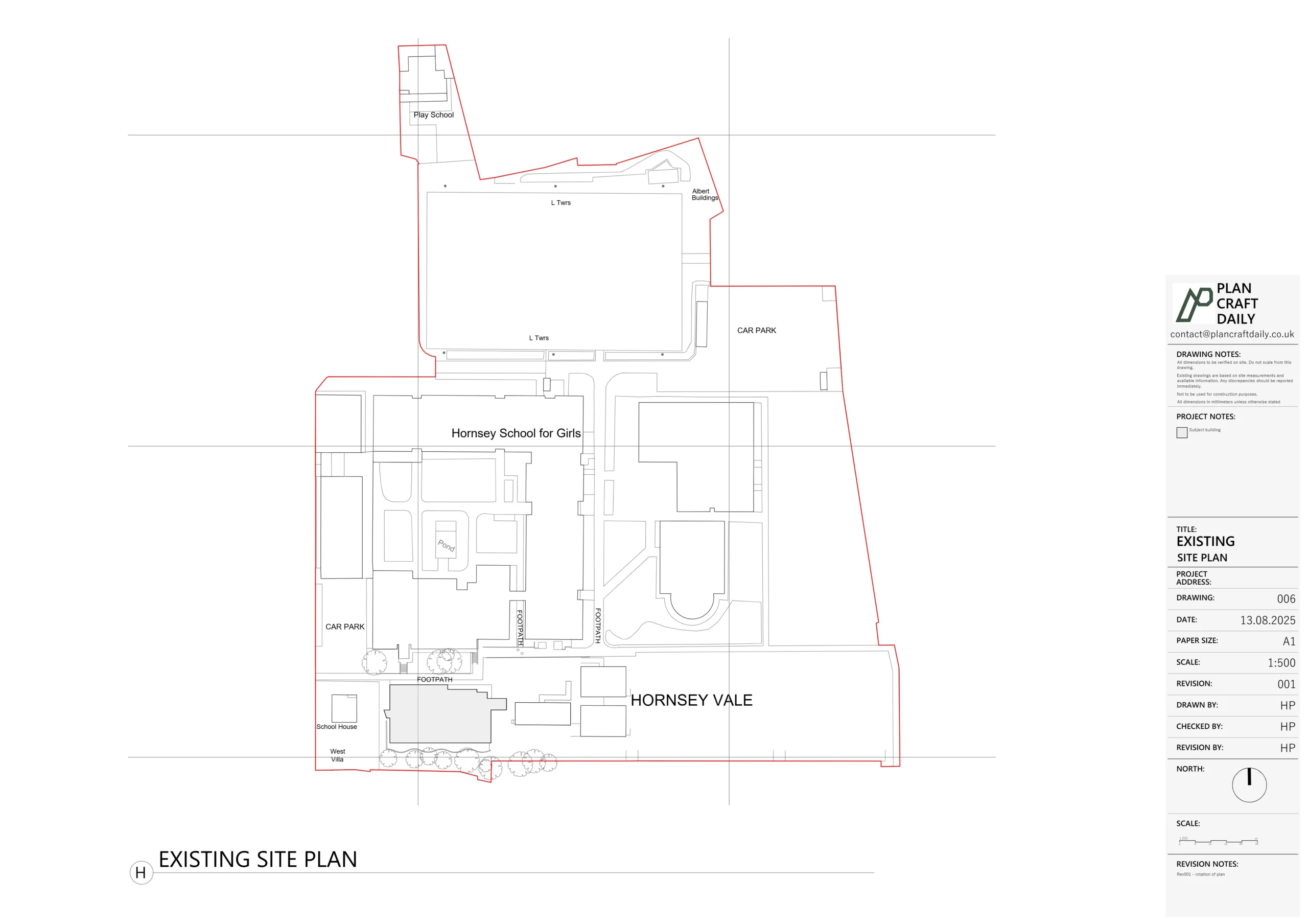
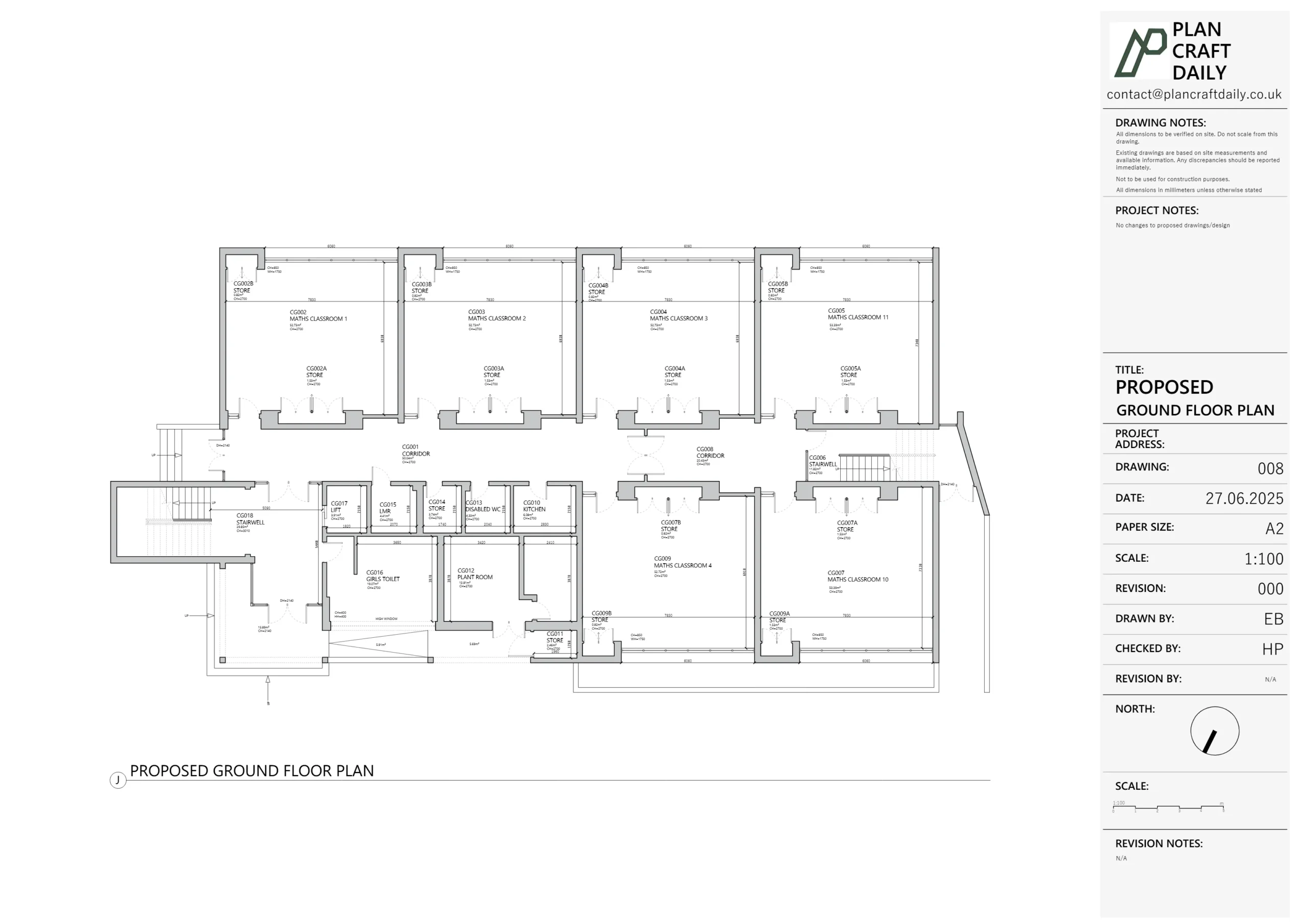
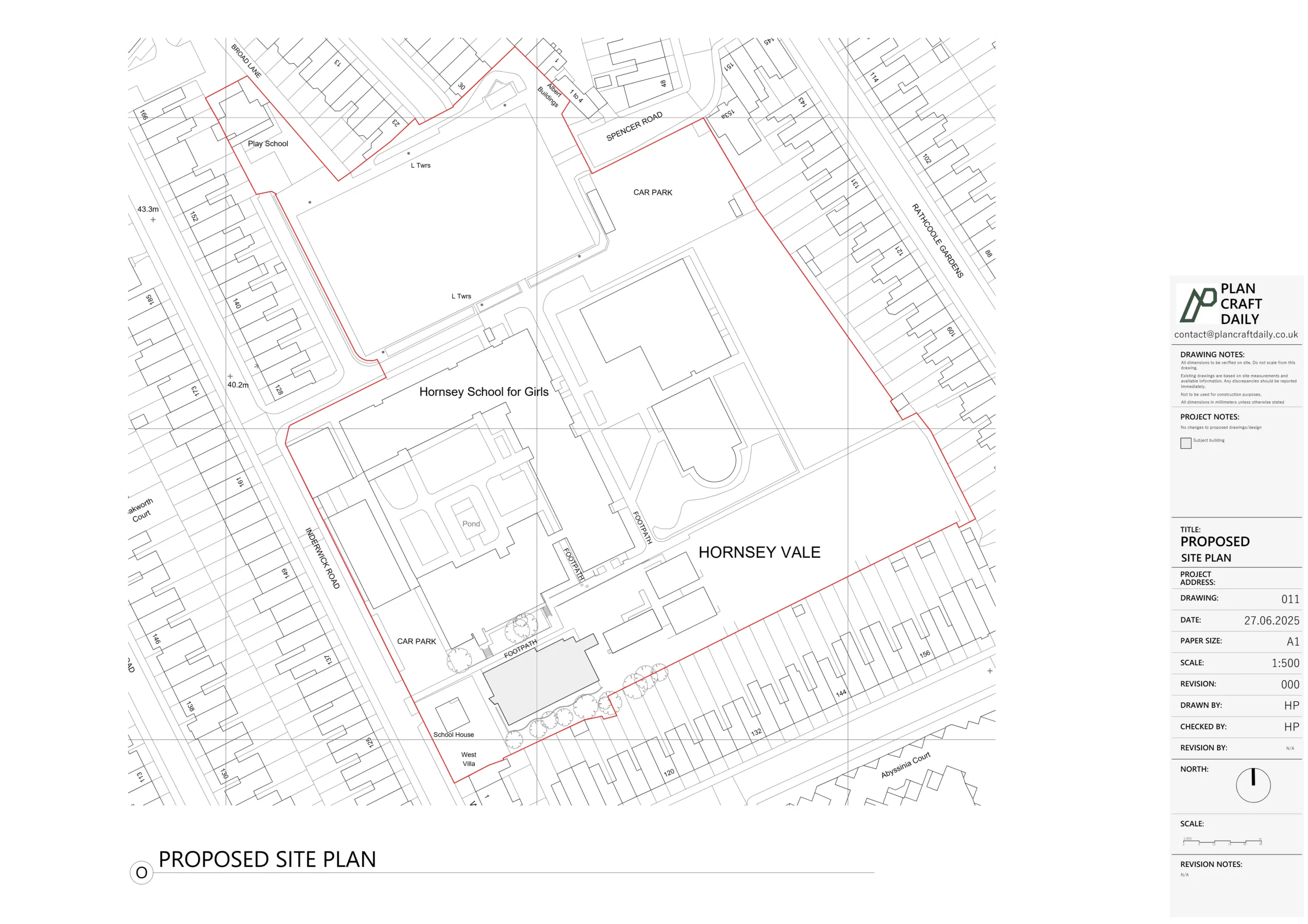
- Existing plans
- Elevations
- A typical section
- A 3D scan output for visual reference
Before finalising, we ran our internal QA to check:
- Consistency between plans, elevations and section
- Key dimensions and levels against survey notes
- That everything was ready for design and planning use
We then sent Eric a draft drawing pack. He provided a detailed review list, including:
- Missing steps at the front and rear doors
- A level change in the entrance lobby and WC
- Box frames in the garage that needed showing
- Clarification on the true garage ceiling height above the visible soffit
We used his comments to refine the CAD model, adjusted the section and plans, and issued a “Rev001” set. Eric then confirmed that the drawings were correct and contained all the information he needed.
Final deliverables
Once the final invoice was settled, we released:
- Final DWG files in 1:1 metric scale
- Final PDF plans, elevations and section
- Site photographs
- A 3D scan link for quick visual checks
- A payment receipt and single download link for everything
Eric and Karim now have a coordinated survey pack — building, site levels, photos and 3D scan — that they can rely on for detailed design and planning, without needing to re-measure or re-survey the site.
Project Details
| Service Type | Measured Survey, Existing Drawings + Topographical |
| Time Taken | Around 10–15 working days (including topo and revisions) |
| Location | Wembley, North West London |