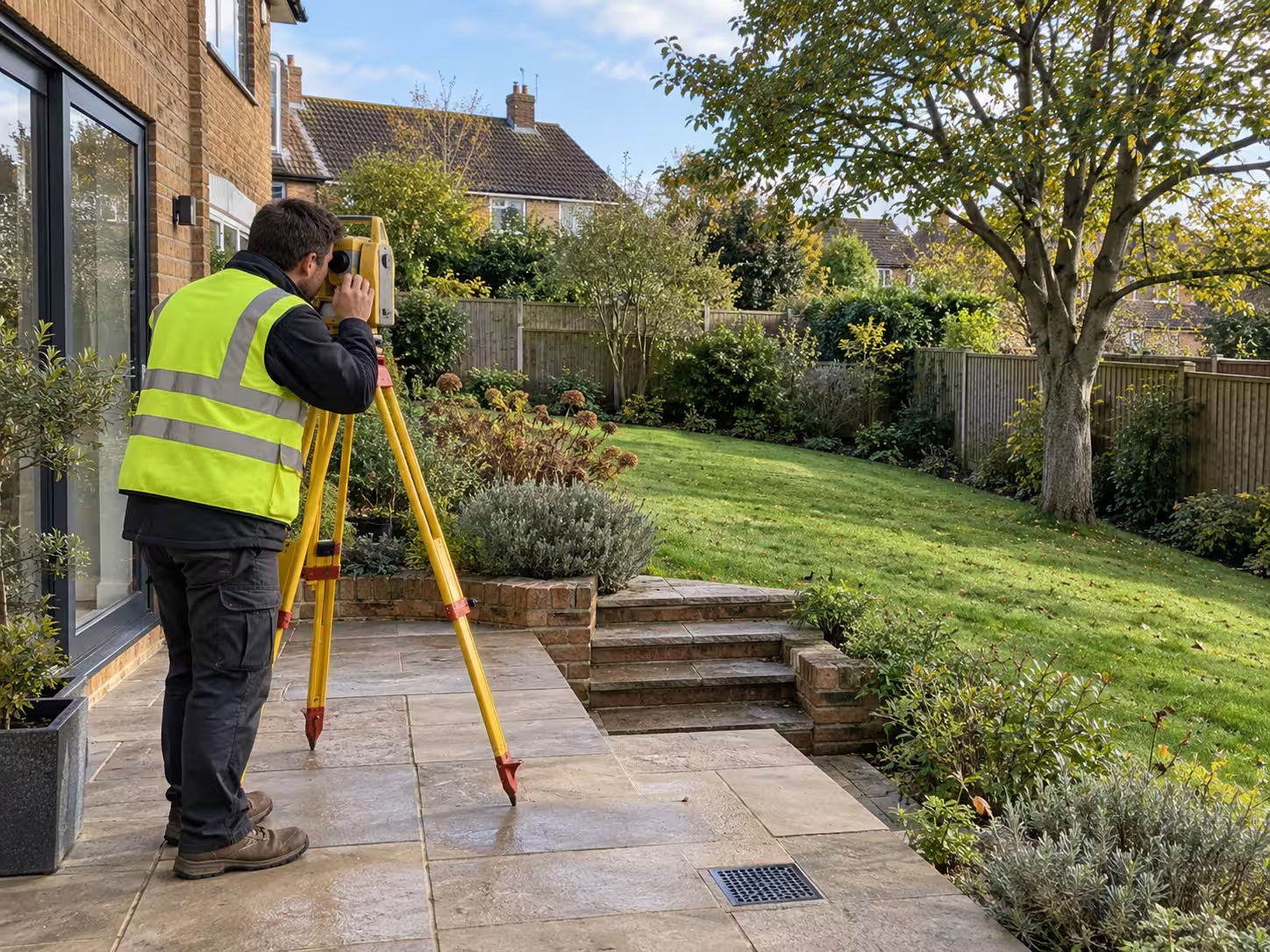
Does every garden redesign need a professional topographical survey?
Not every garden change needs a separately commissioned topographical survey. A limited planting change presents a different measurement task from redesigning terraces, paths and retaining structures. The designer should identify what information is already adequate and what needs recording.
Discuss a professional survey where the design involves:
- Significant changes in ground level
- New or altered terraces and steps
- Paths connecting different parts of the garden
- The relationship between house thresholds and external surfaces
- Existing structures or features that must be retained
- A large or complicated site layout
Garden-design practice also distinguishes measurement from the later assessment of how the space will be used. The Garden Company describes using a survey as the base for its site analysis, rather than treating the drawing as a finished design.
What does a topographical survey give the garden designer?
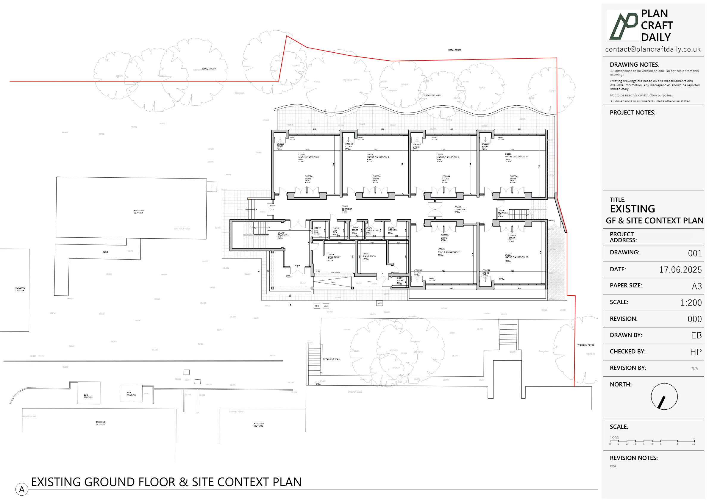
It gives the designer a measured record of the agreed existing site features and levels. That information helps establish the space available and how its parts relate. It does not select the layout, planting or construction details for the proposed garden.
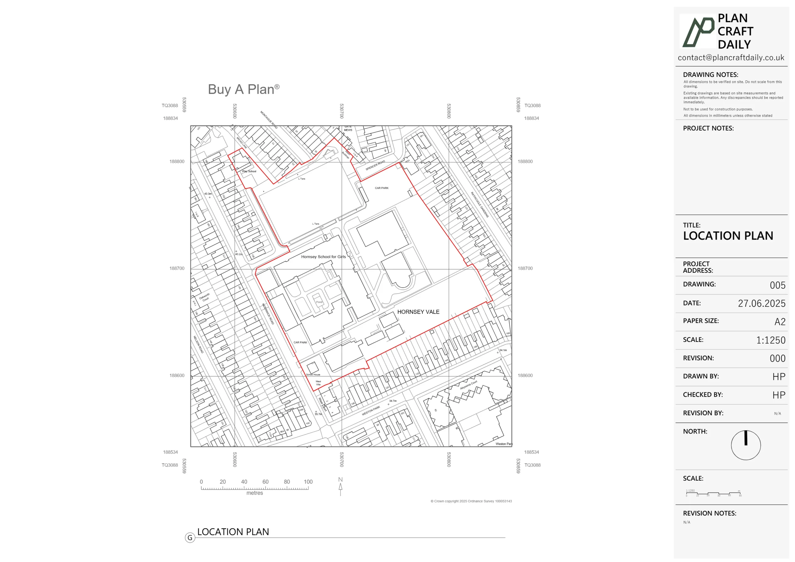
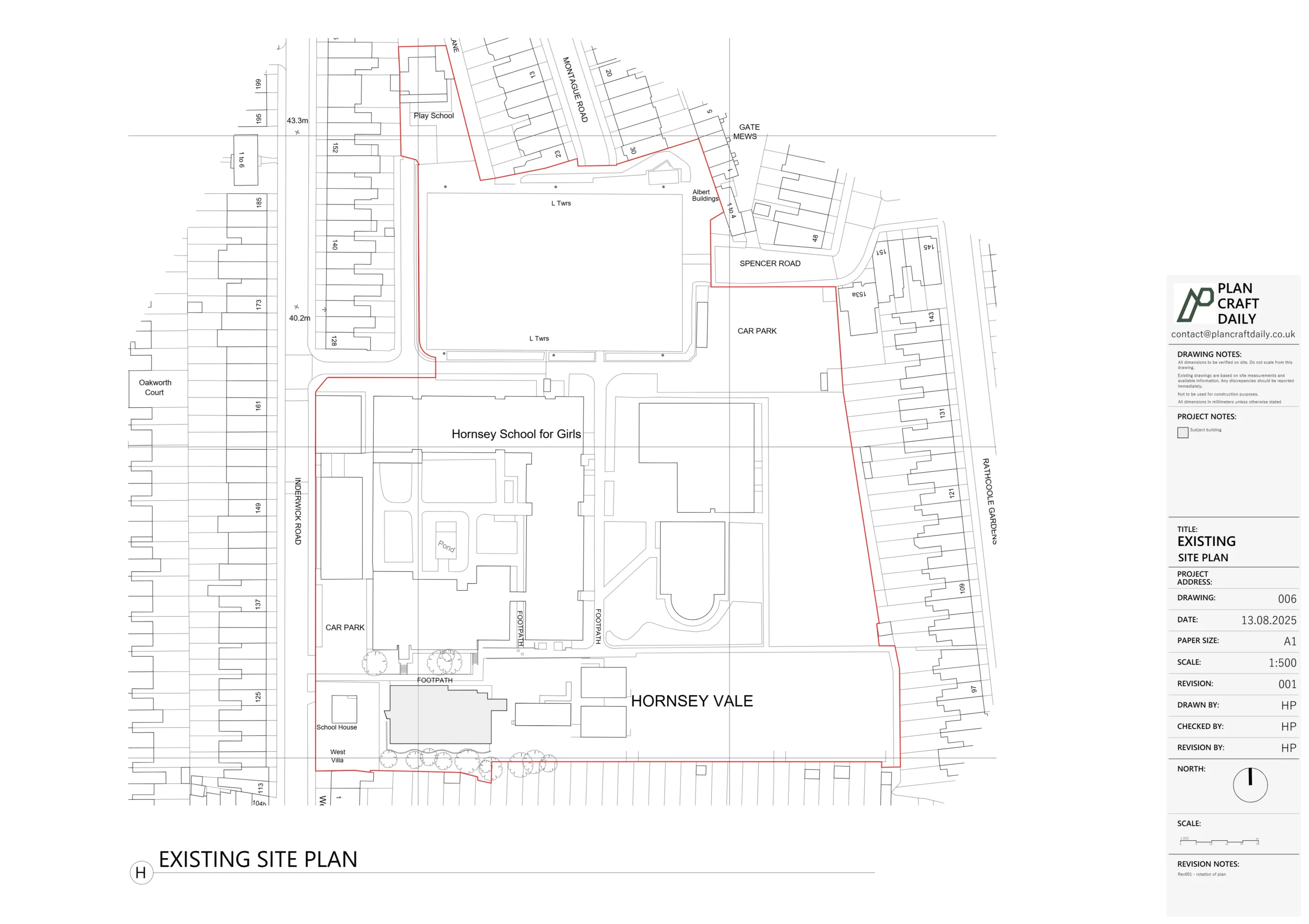
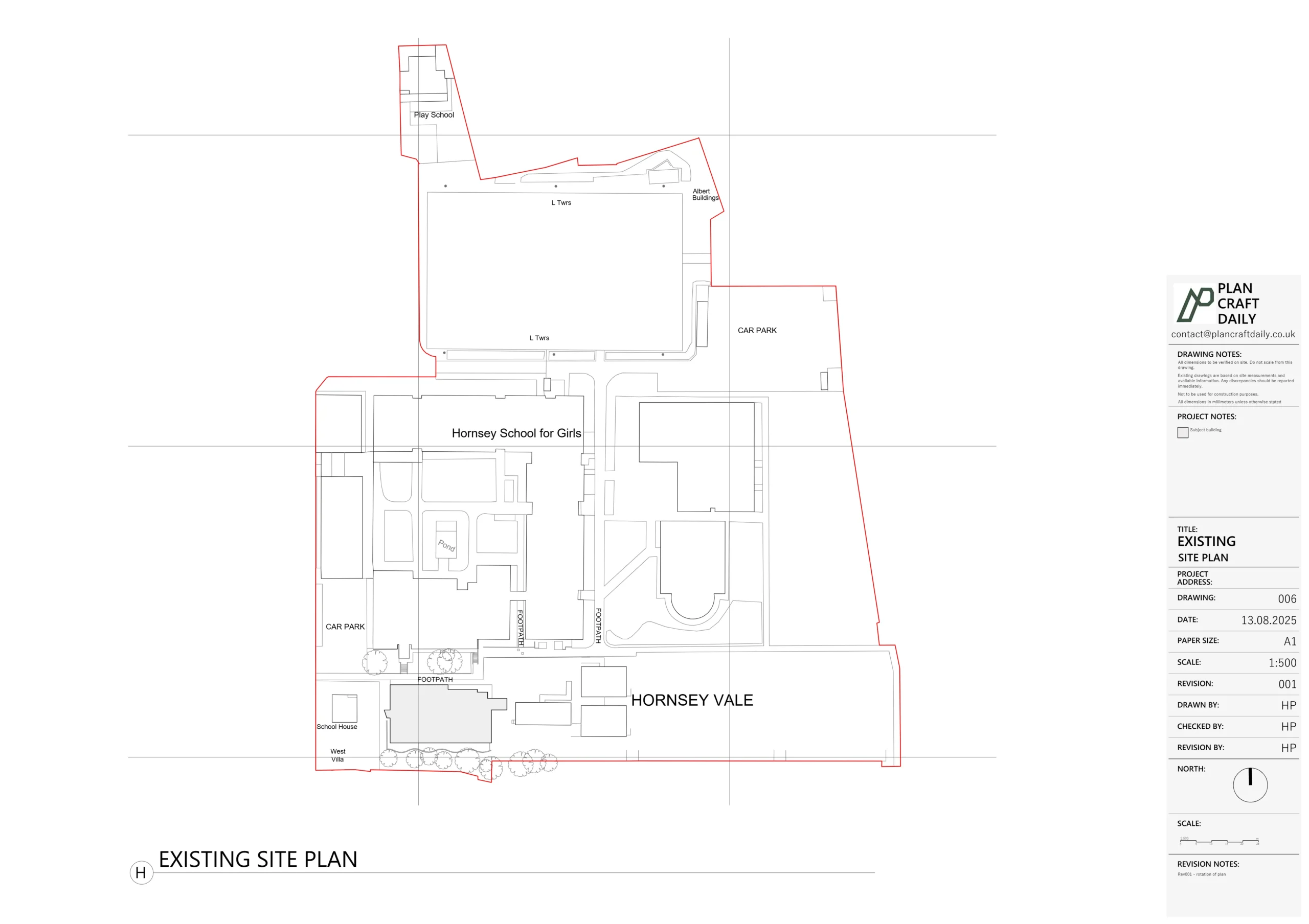
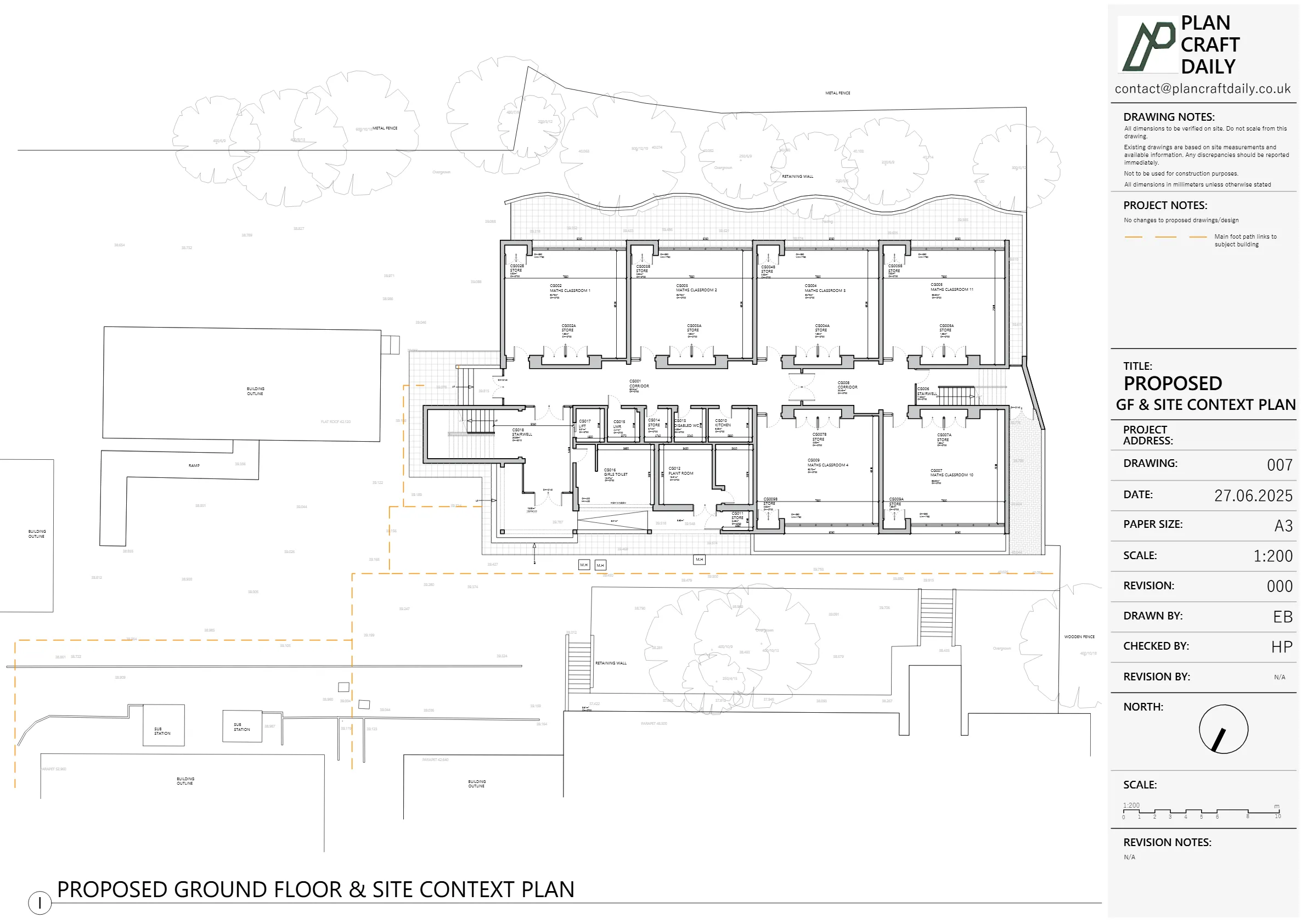
The survey can record the house outline, paths, patios, steps, visible walls, vegetation and other requested features. Required heights are recorded against an agreed reference, called a level datum.
The RICS guide to topographic surveys describes their role in recording existing land and building measurements. For the possible drawing content, read what is included in a topographical survey.
Which garden features should you ask the surveyor to record?
Request the features that affect the proposed layout or need to remain in place. A useful brief identifies both the survey area and the required detail. The designer's marked-up plan can show where particular levels, dimensions or features matter.
| Feature to discuss | Why the designer may need it |
|---|---|
| House outline and relevant doors | Relate the garden layout to the building |
| Threshold and patio levels | Understand the existing transition from inside to outside |
| Ground levels | Describe rises, falls and changes across the site |
| Steps and retaining walls | Record existing changes in level |
| Paths, paving and driveways | Locate surfaces and routes to retain or alter |
| Trees and hedges | Position vegetation within the measured layout |
| Walls, fences and gates | Record visible edges and access points |
| Ponds, outbuildings and other fixed features | Establish their relationship to the proposed work |
| Visible drainage covers and gullies | Locate surface drainage features for further review |
This is a briefing list, not a guarantee that every item is included in a standard quotation. Confirm the content with the surveyor before the visit.
Why are ground levels important for garden design?
Ground levels show the height relationships that a flat outline plan cannot describe. They help the designer understand how a patio, lawn, path or doorway connects to the rest of the site. A garden that looks almost flat can still contain relevant changes.
A spot level records the height of one point. A sequence of spot levels can describe a path or terrace; contours connect points at the same height across the ground.
For example, a drawing of a proposed route from a back door to a seating area needs more than its length. The designer also needs to understand the height change along that route before developing the arrangement.
The survey supplies the measurements. The designer or relevant specialist decides the proposed levels, gradients and construction details.
Does the survey need to include part of the house?
Include the building information needed to connect the garden design to the property. The brief may require relevant door positions, thresholds or external features without requiring a full internal building survey. Identify the exact relationship the designer needs to understand.
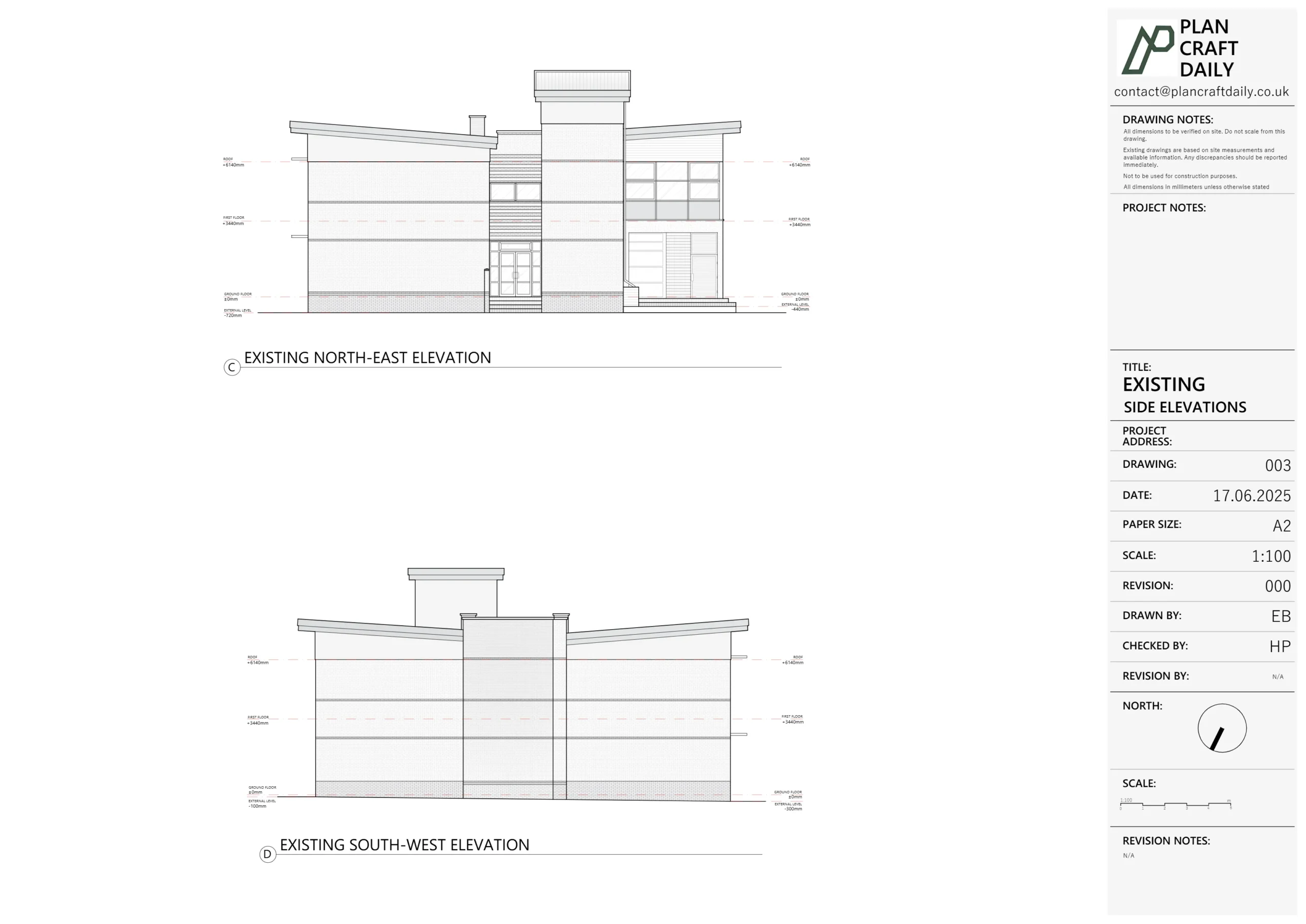
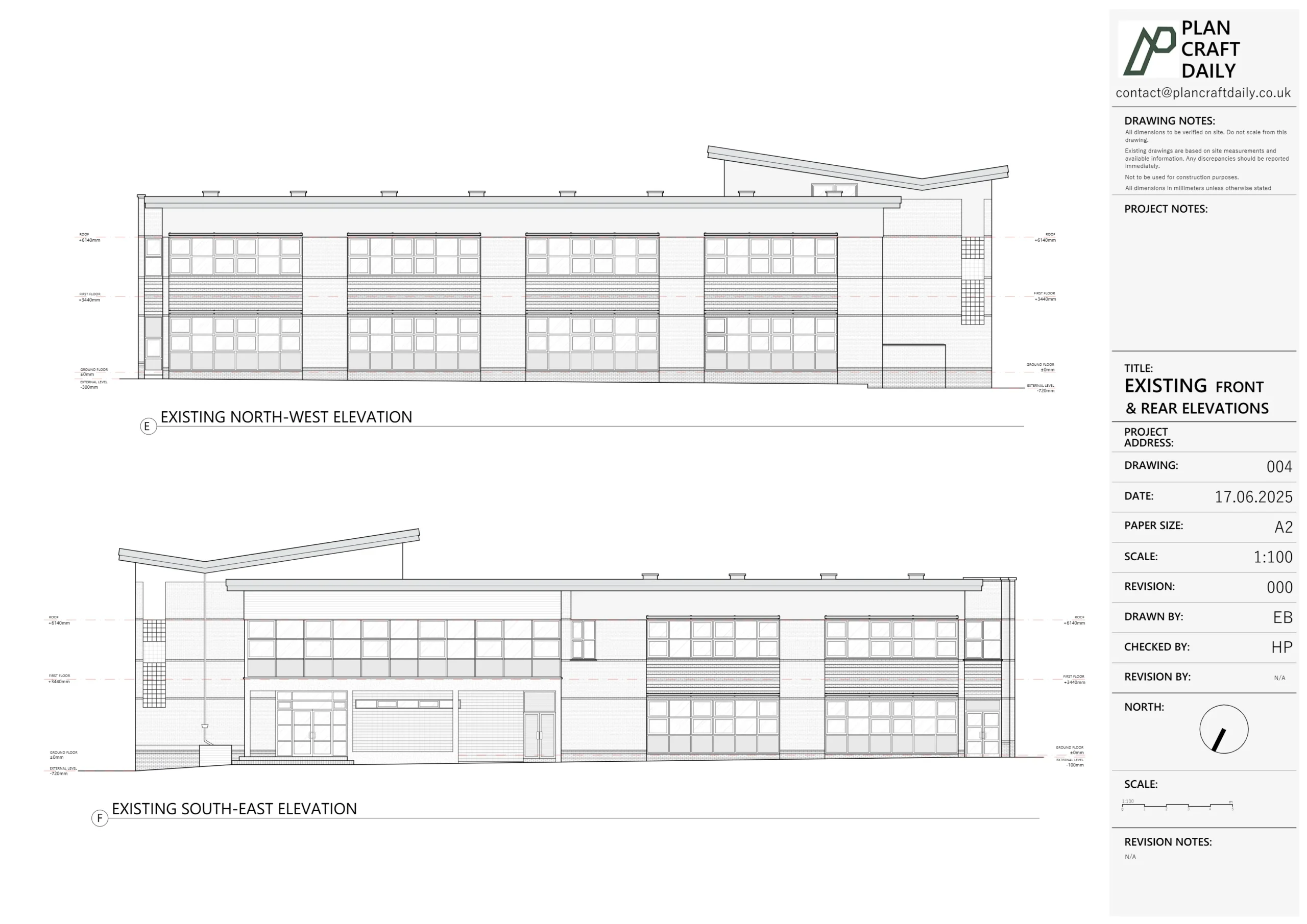
Mark the doors that will open onto proposed paving, the elevations that relate to the layout and any building features that must be coordinated with the external work.
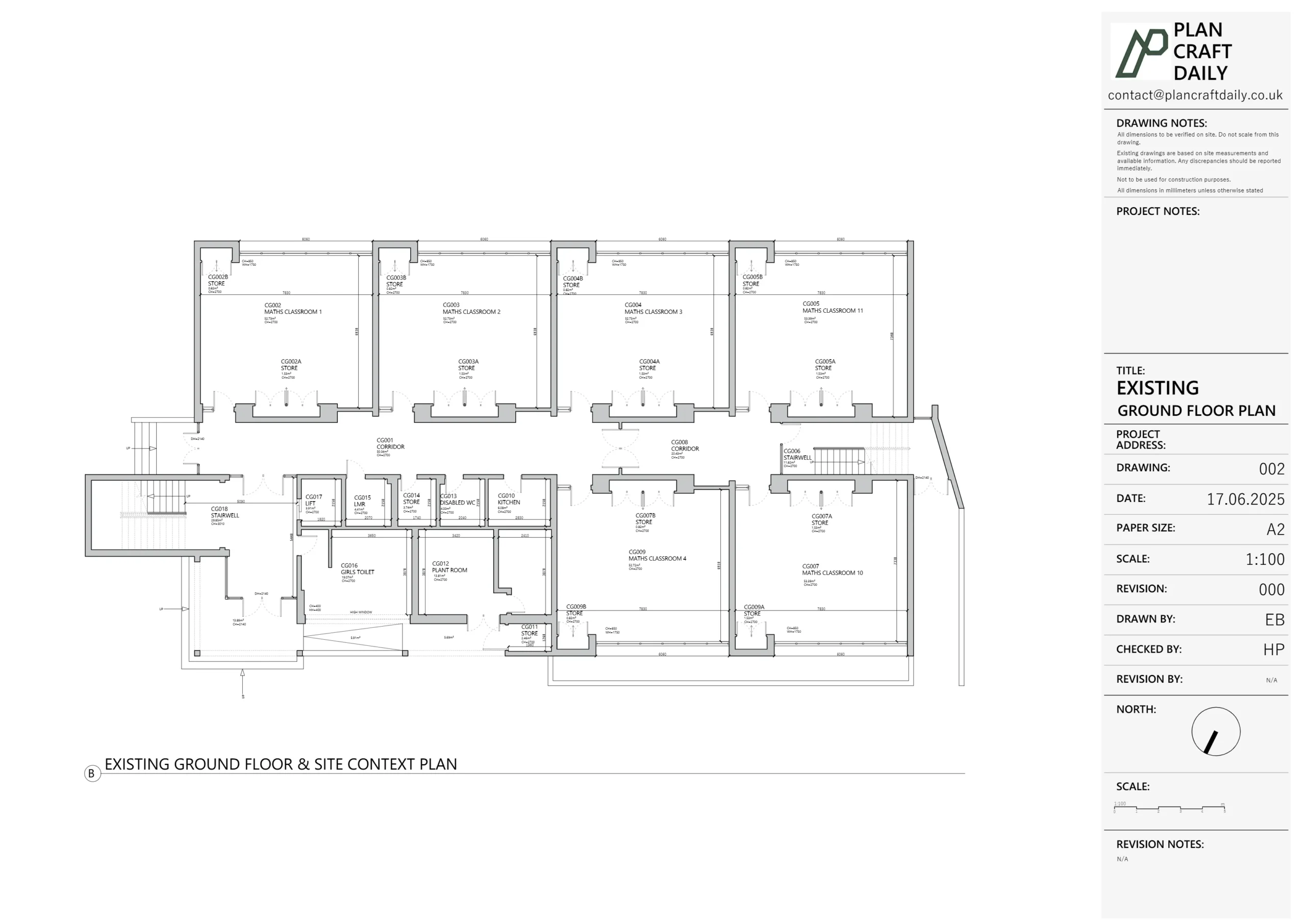
An interior redesign or extension may need additional building measurements. Read measured building survey vs topographical survey to distinguish the two scopes.
Does a garden survey include tree advice or soil testing?
A topographical drawing records the agreed physical information; it does not automatically include specialist assessments of trees or soil. Tell the designer what investigations already exist so they can identify any additional professional input required for the project.
Tree positions and requested dimensions can form part of a survey brief. Tree health, development constraints and recommendations need appropriate arboricultural input. Similarly, locating a planting bed does not establish soil composition or its suitability for a proposed planting scheme.
Ask specialists to provide their survey-information requirements before the site visit. That gives the surveyor a defined request instead of leaving the designer to discover missing information later.
Will the survey show underground pipes and cables?
A standard topographical scope does not automatically locate buried services. Visible covers, gullies and other surface features can be recorded where agreed, but their positions do not establish the complete route, depth or condition of underground pipes and cables.
Tell the project team about available utility or drainage records. Work involving excavation, foundations or changes near services may require additional investigation under a separate brief.
The distinction matters even in a domestic garden. A cover shown on the drawing is measured surface information, not a complete underground-services plan.
Can an existing survey be reused for landscaping?
An existing survey can be considered where its extent, detail and currentness suit the new design. Send the original files and survey notes to the designer. A drawing prepared for a previous extension may cover only the land close to the house.
Check whether it includes:
- The full area affected by the new design
- The required level information
- Features added or changed since the survey
- Vegetation or structures that the new design must retain
- Notes explaining inaccessible or unmeasured areas
The designer and surveyor can then discuss whether the information is sufficient, needs a limited update or requires new measurement. The guide to reusing old drawings or commissioning a new survey explains the broader decision.
How much of the garden needs to be surveyed?
Survey the area needed to understand the proposed work and its relevant connections. The whole plot is not automatically required, but a small design area can depend on information beyond its edge. Ask the designer to mark the extent on a plan.
A new terrace beside the house may need the adjoining ground levels, access route and retained features. A redesign across the entire garden will usually call for a wider record.
Avoid defining the survey boundary solely around a proposed object. Include the context required to position and coordinate it, then let the surveyor review whether the marked area meets the brief.
What access should you arrange before the survey?
Arrange access to the agreed area and disclose anything that hides or restricts the required measurements. Locked gates, dense vegetation, stored materials and separately occupied parts of a property can affect what the team can record.
Send photographs of restricted areas before attendance. Ask what access or clearance is needed rather than removing plants or structures merely on the assumption that they obstruct the survey.
Access to neighbouring land needs to be agreed separately. A request to record nearby context does not automatically give the surveyor permission to enter another property.
What should the garden designer receive?
Agree the drawing files, level information and presentation before commissioning the survey. The designer needs to know which features were measured, which areas were excluded and what references apply before using the drawing for the proposed layout.
Discuss whether editable DWG files, PDF sheets or other specified outputs are needed. Confirm any CAD requirements with the person who will work on the file. Do not assume an editable file includes every type of model or analysis.
The drawing's notes, legend and level reference remain part of the information. Read how to read a topographical survey drawing for these elements.
What should you send for a garden survey quote?
Send the site address, a marked survey area and the designer's information request. Include existing drawings and photographs where available. The quote should reflect the agreed coverage, detail and deliverables rather than the label “garden survey” alone.
Include the features to retain, the proposed areas of work, required building information and access limitations. Explain the project programme without assuming a fixed survey or drawing turnaround.
Read the topographical survey cost guide for the factors that affect a quotation.
How can Plan Craft Daily help with garden survey information?
Plan Craft Daily can review the topographical information requested for your garden project. The agreed scope can record external levels and relevant visible features for the designer to use. The garden design and any specialist investigations remain separate requirements.
Visit the topographical survey service or send your garden survey brief to discuss the area and drawing outputs.