What Is a Measured Building Survey?
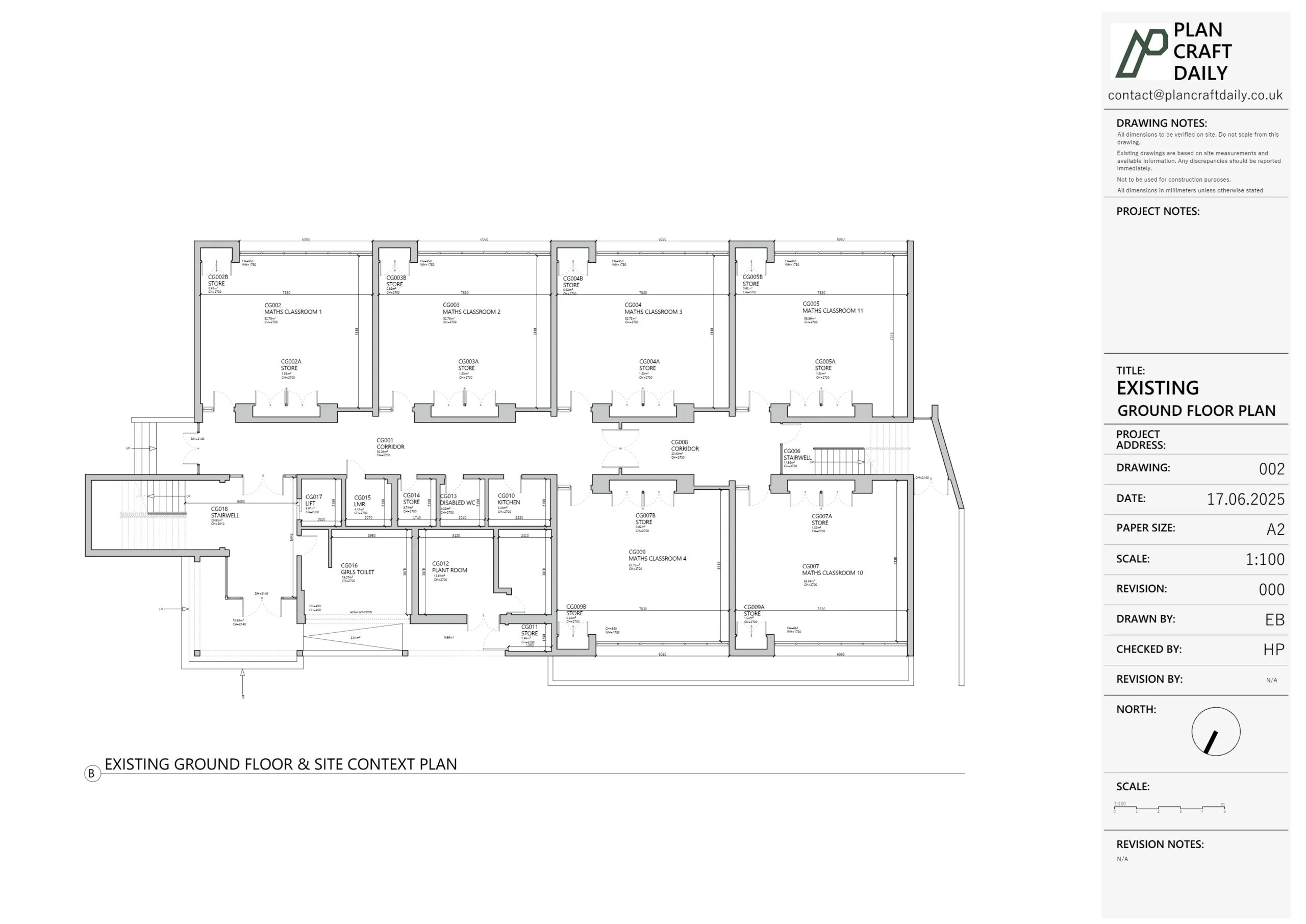
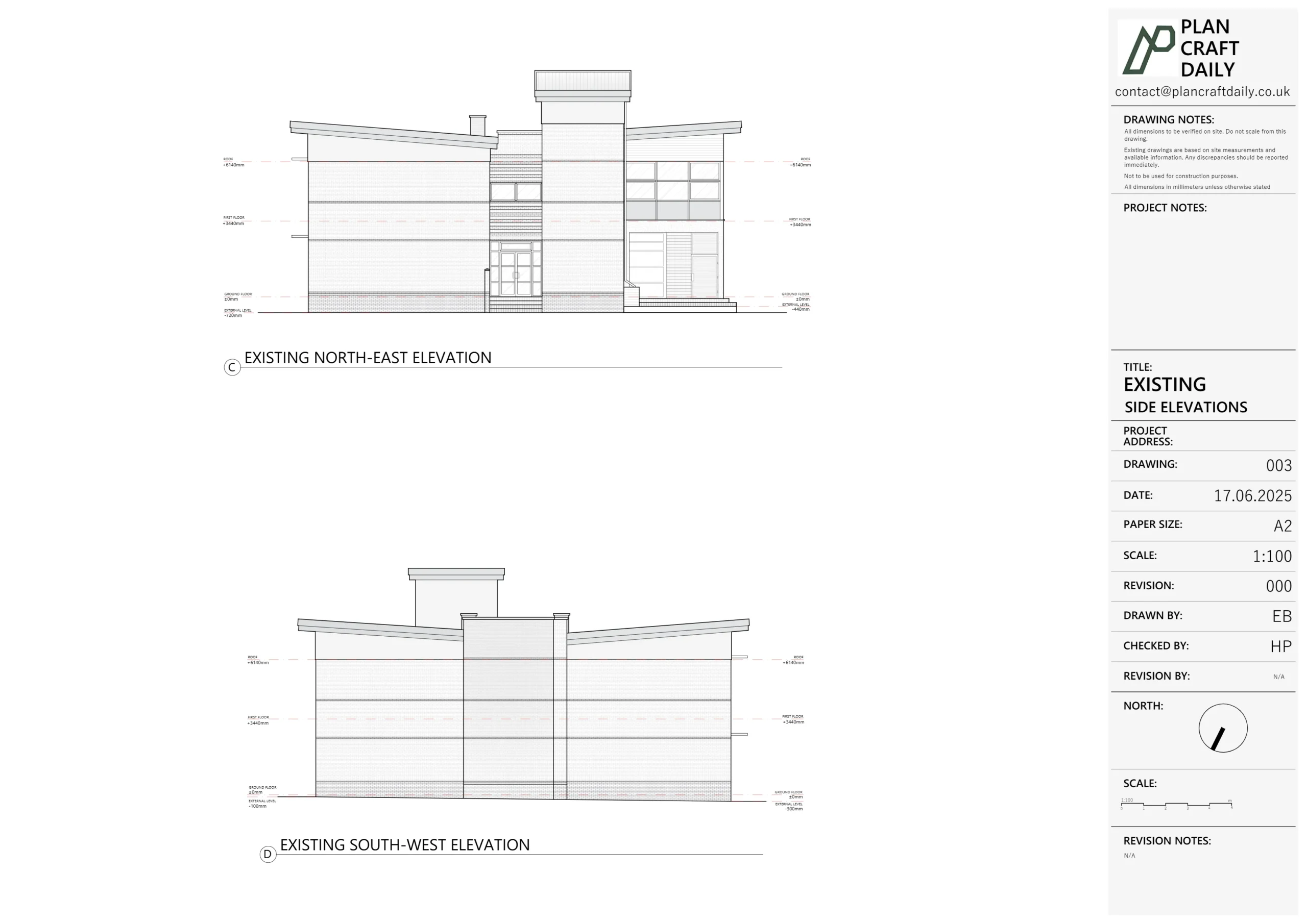
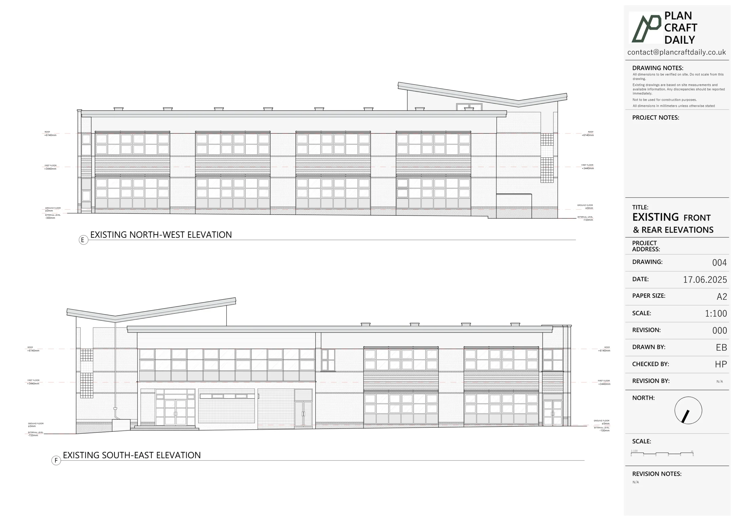
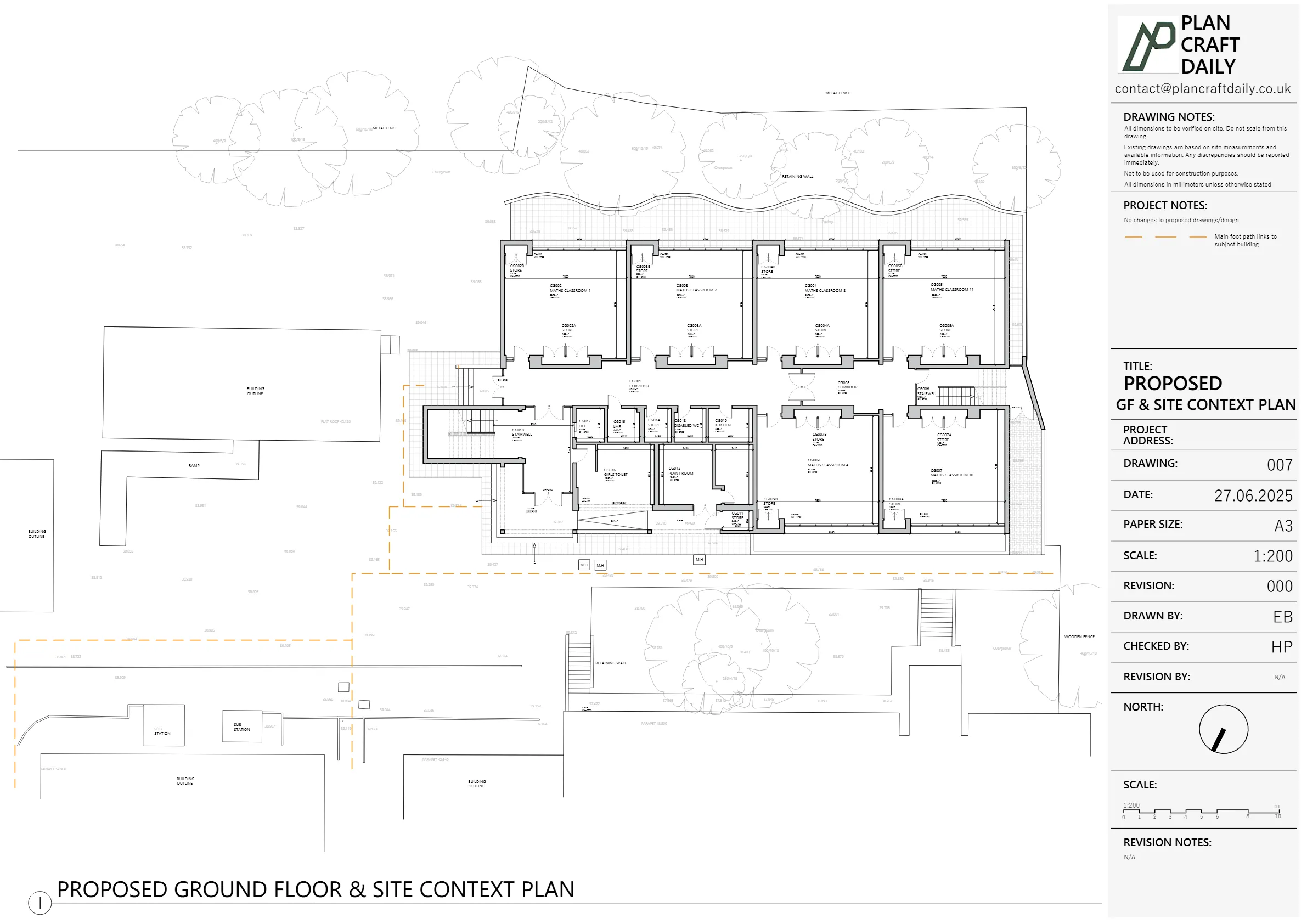
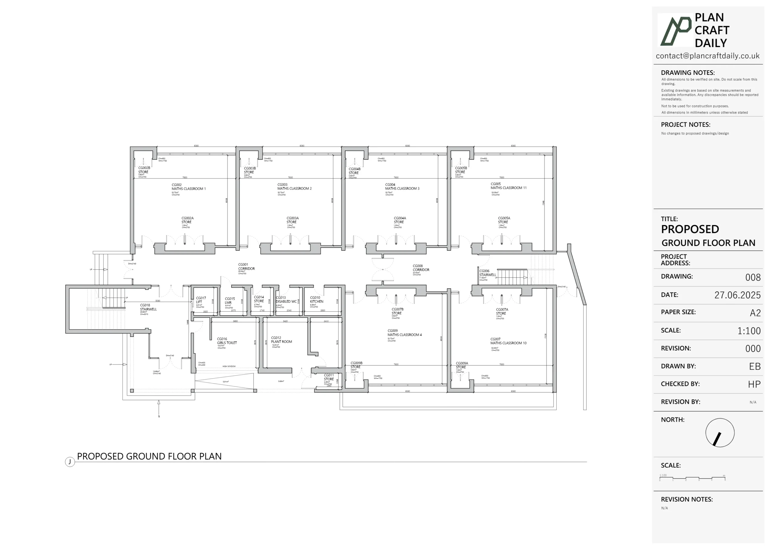
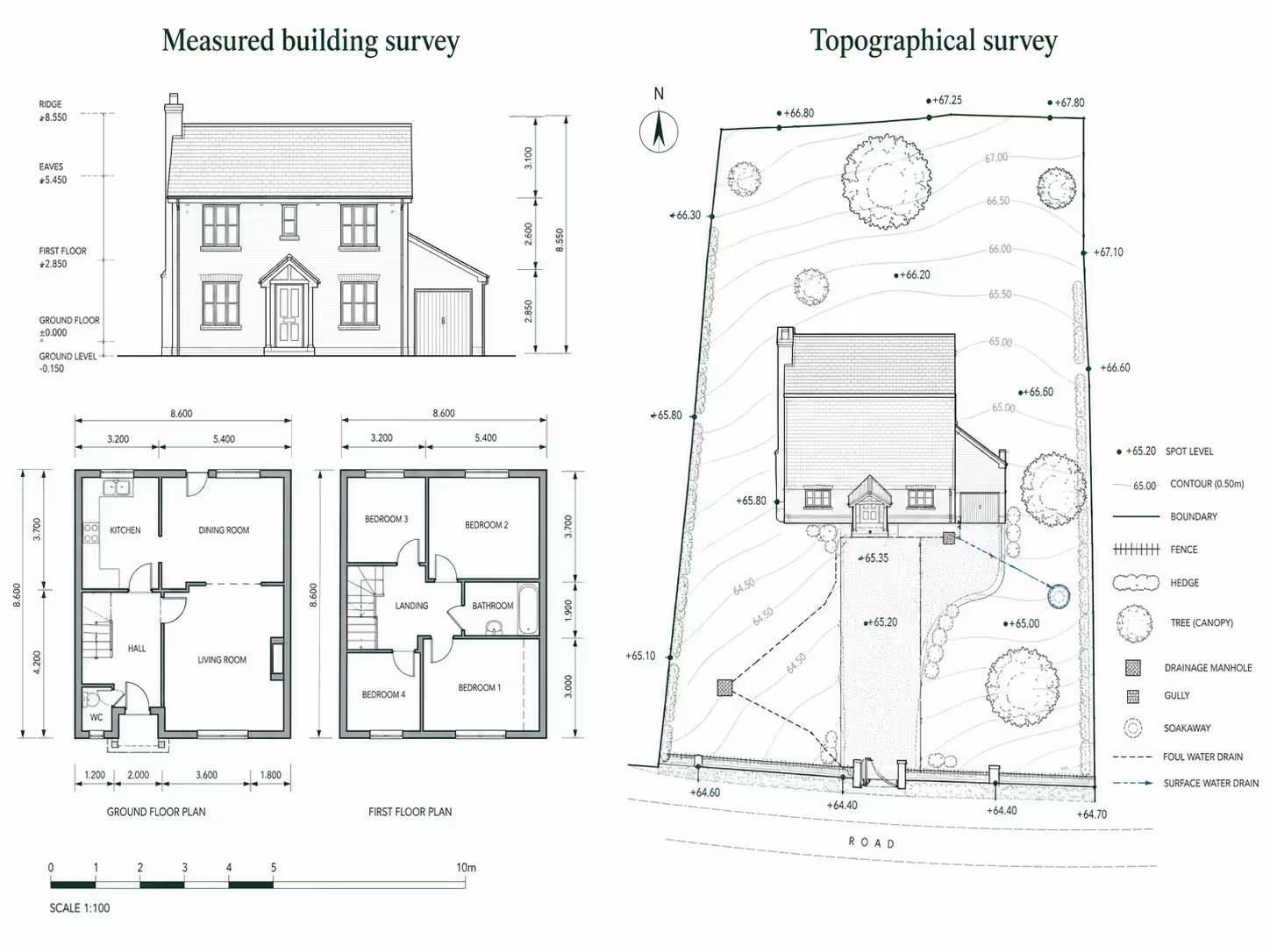
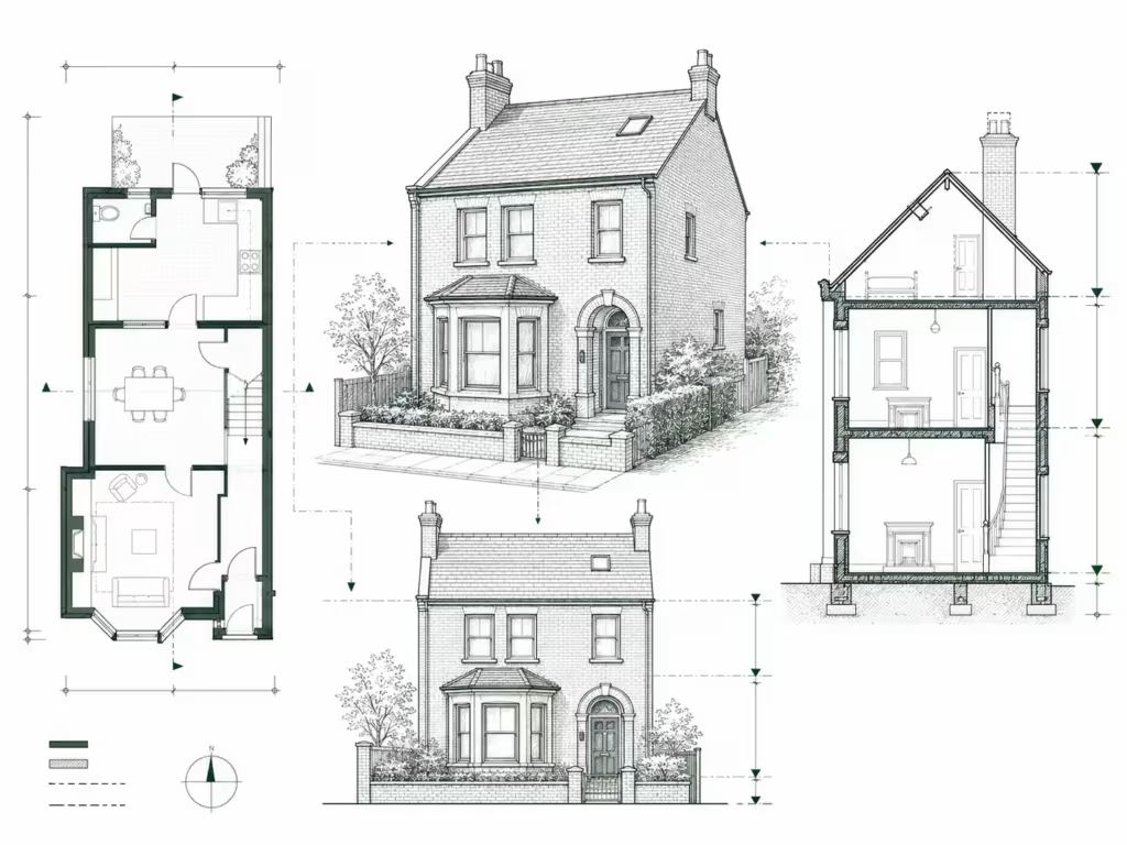
A measured building survey records an existing building’s layout, dimensions and relevant visible features. It gives a design team a clear record of the property as it exists before design work begins.
The survey focuses on the building itself, rather than the wider land around it.
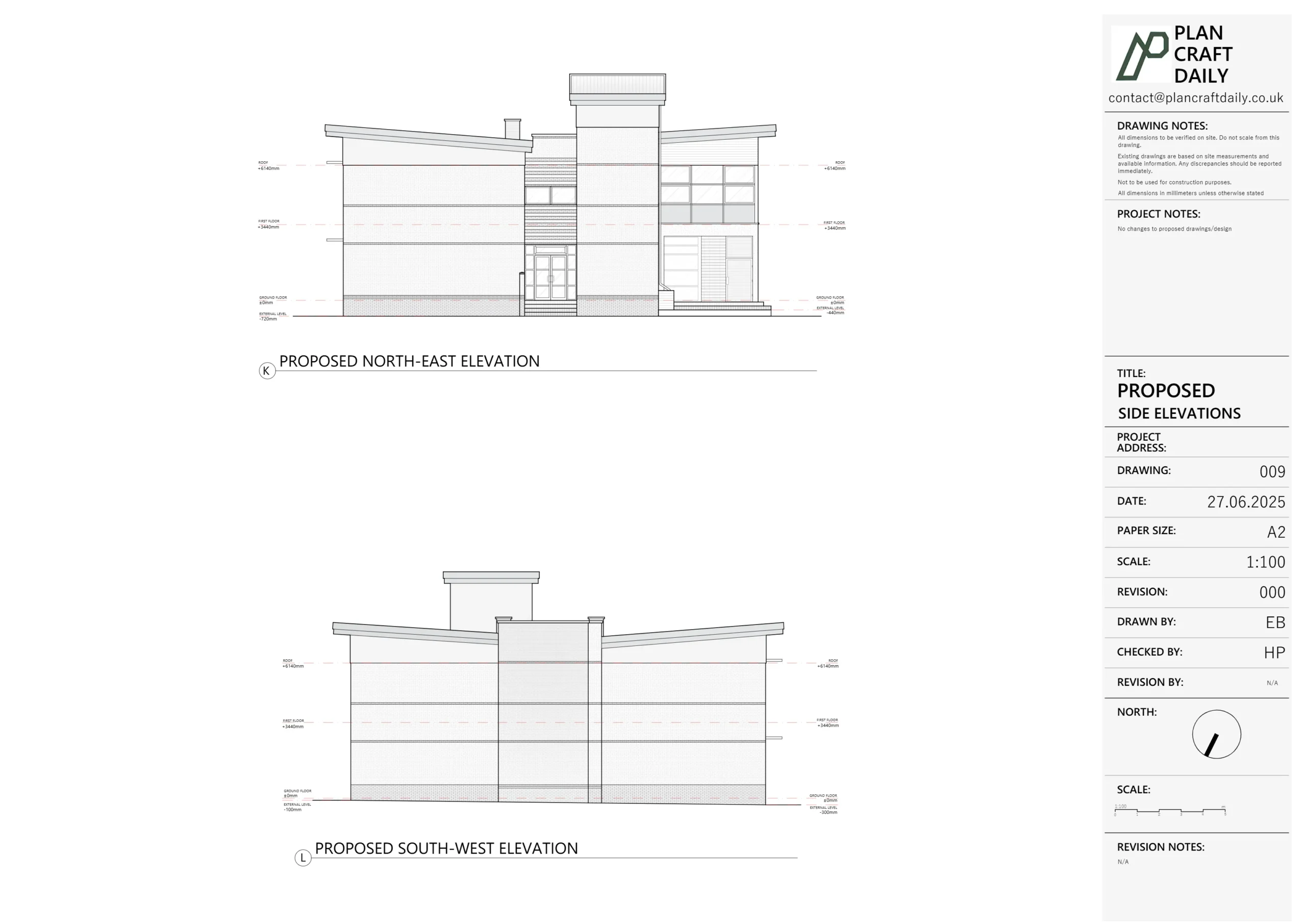
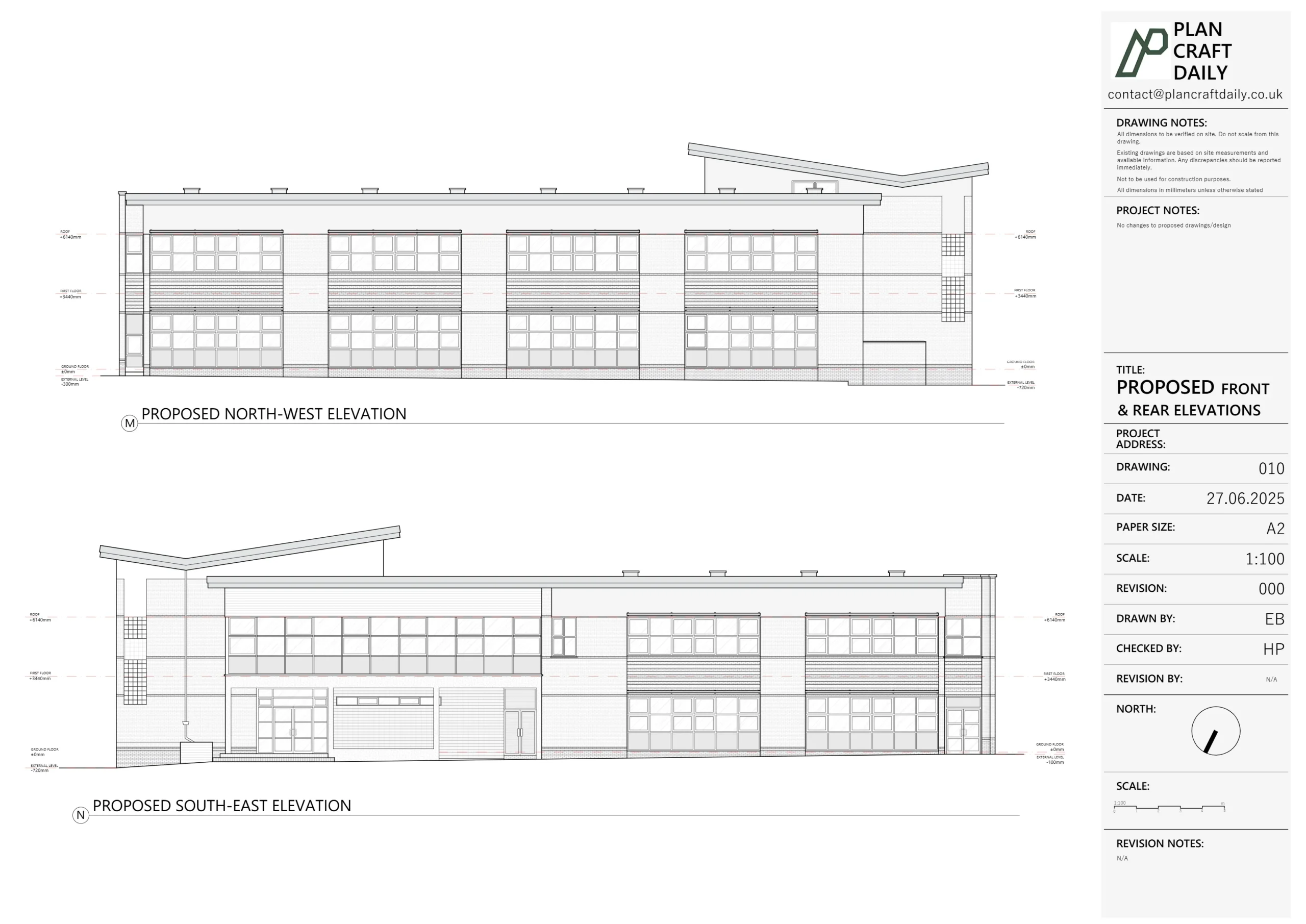
Depending on the agreed scope, the information gathered can be used to prepare:
- Existing floor plans
- Elevations
- Sections
- Roof plans
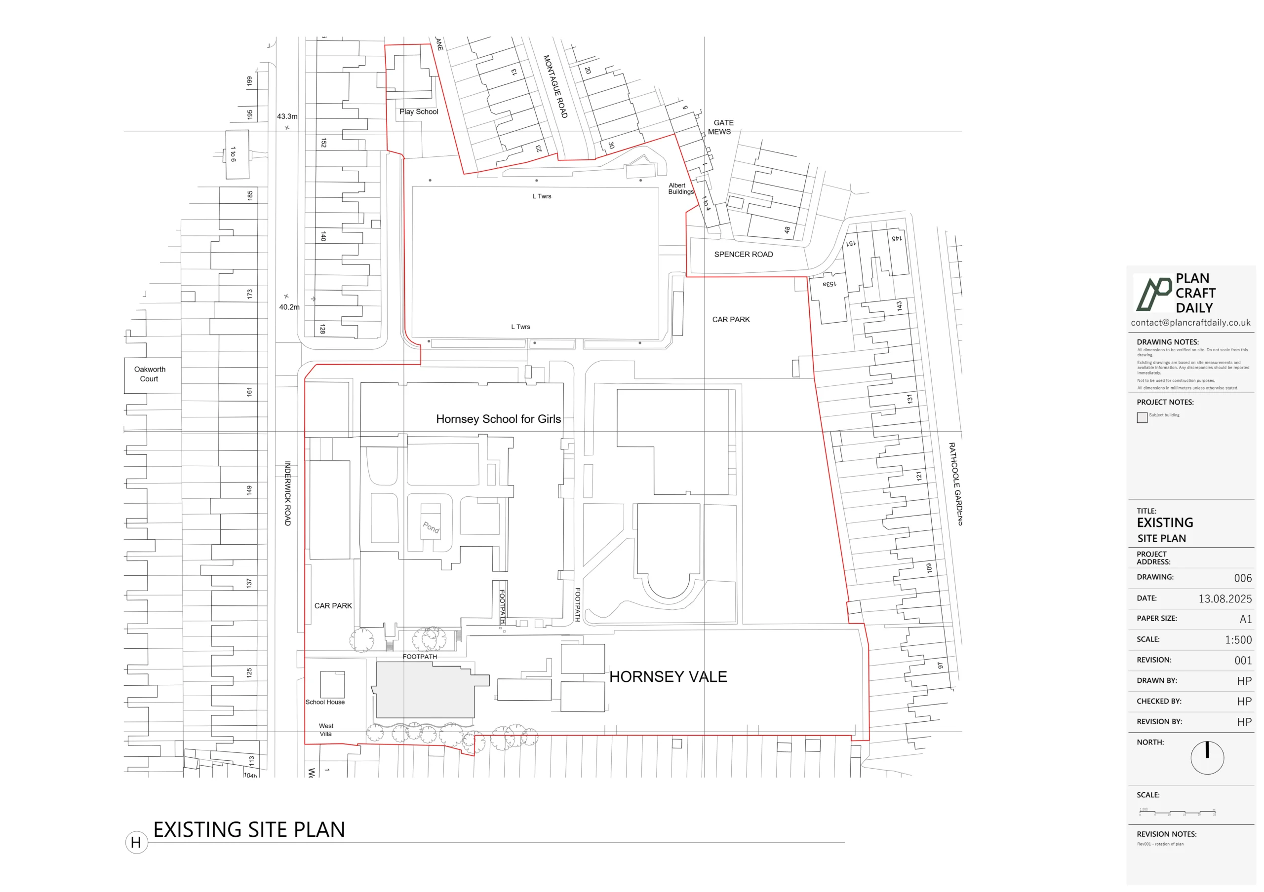
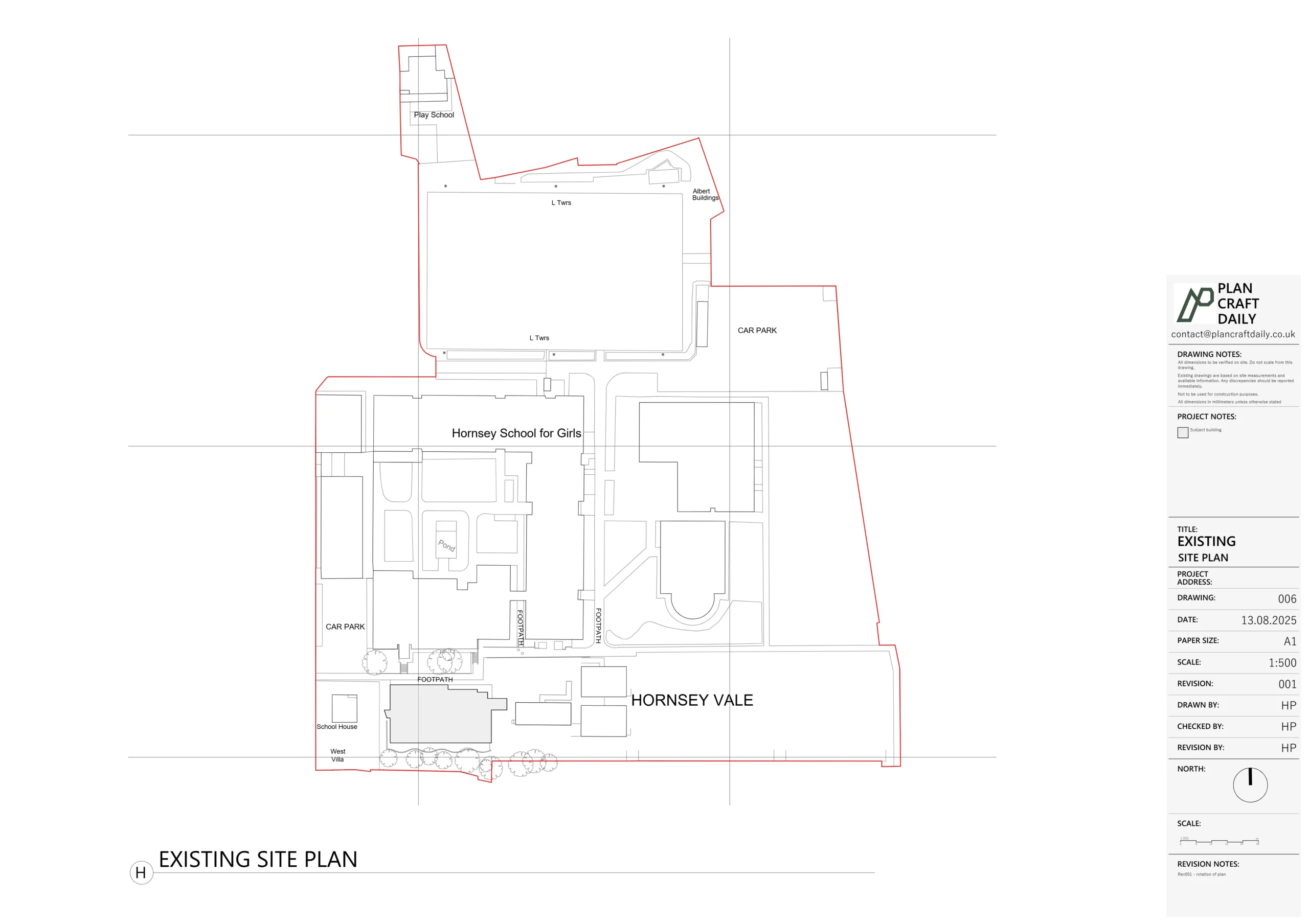
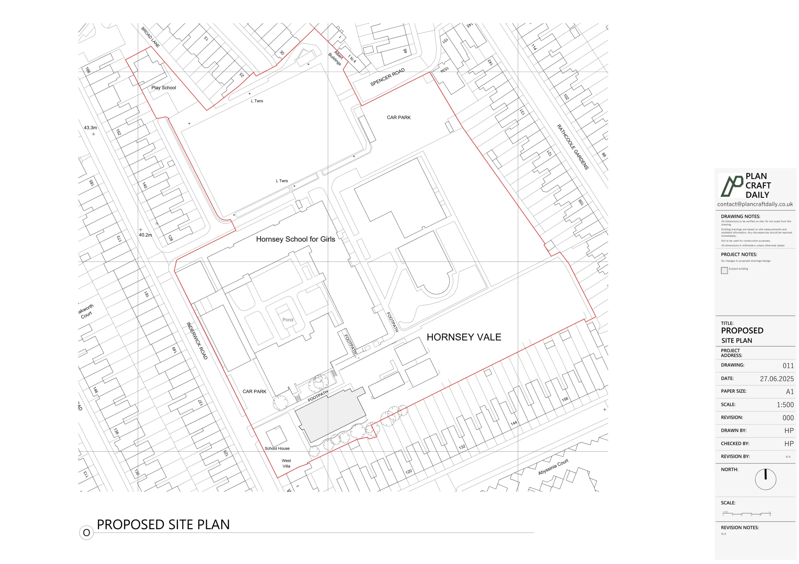
- Site plans
The required drawing views and level of detail depend on the project brief. For Plan Craft Daily projects, measured site information can form the basis of agreed 2D existing drawings showing the property before proposed work is designed.
A measured building survey is not a building-condition survey. It does not assess defects, property value or structural adequacy.
What Is a Topographical Survey?
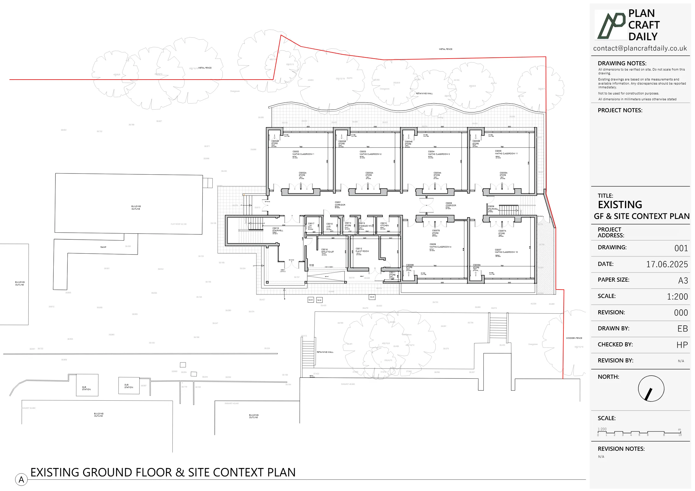
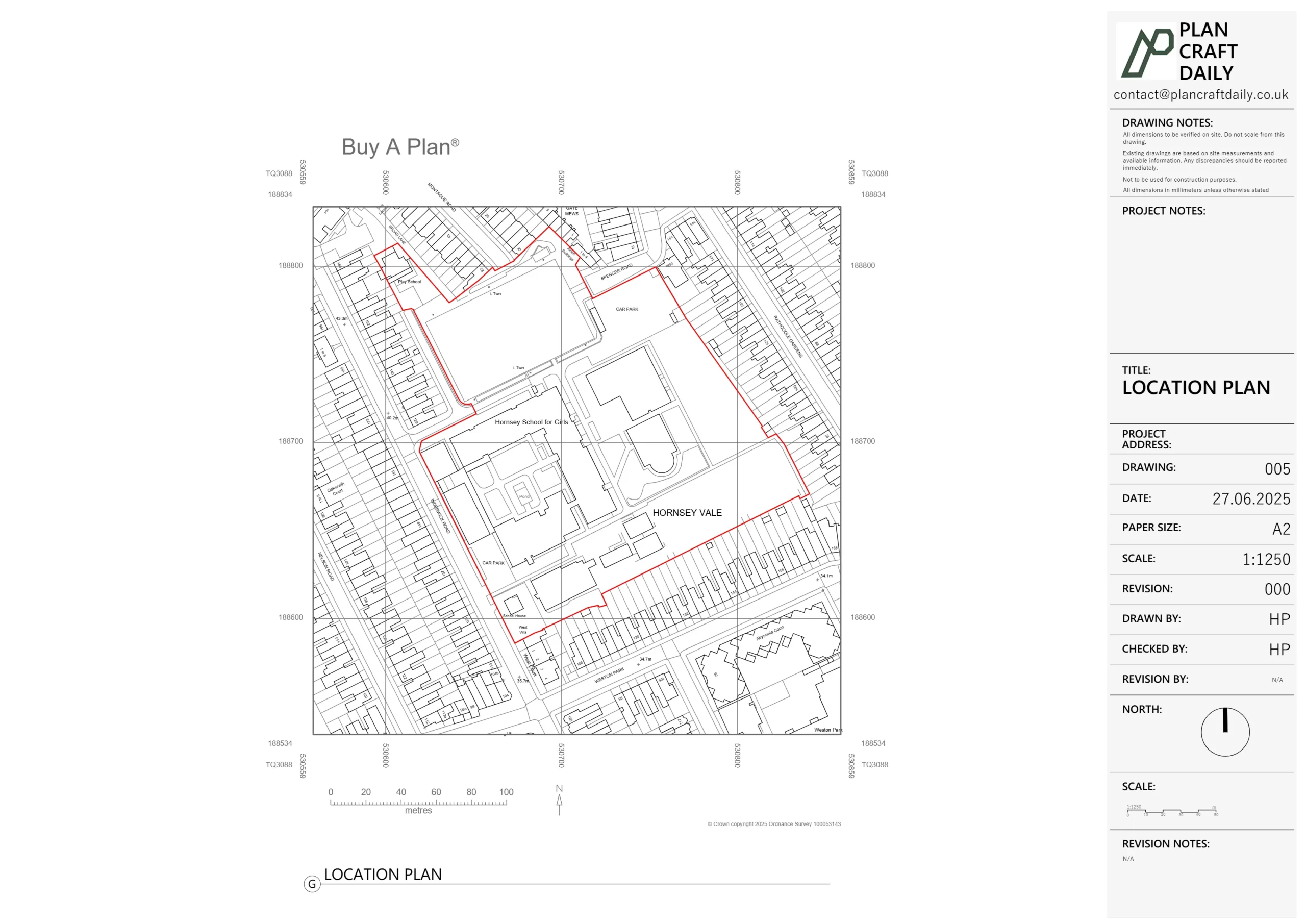
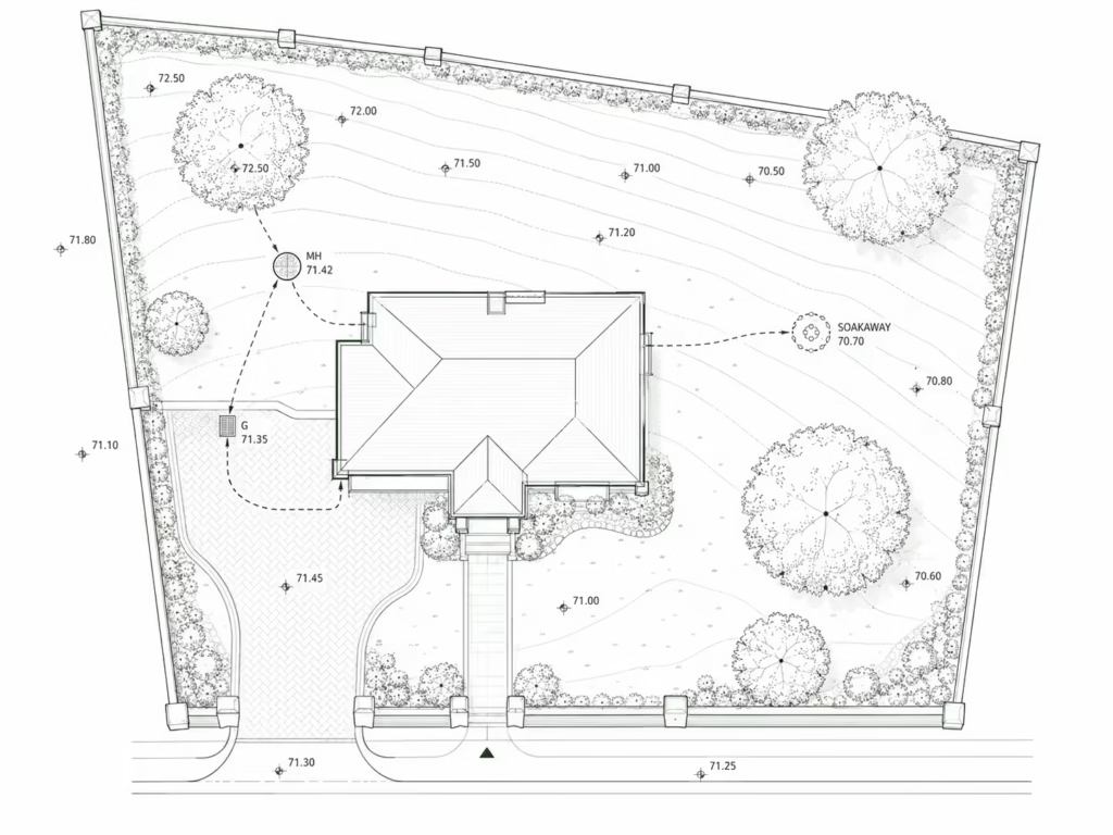
A topographical survey records physical features of the external site. Depending on the agreed scope, this can include ground levels, contours, building footprints, trees, drainage and visible boundary features.
Its focus is the land and external context around a building, rather than room layouts, elevations or internal dimensions.
This information can help a project team understand:
- Changes in ground level
- The shape of the surrounding land
- Nearby building footprints
- Trees and drainage features
- Visible walls, fences, hedges and other site features
The agreed scope matters. A topographical survey does not automatically include every possible feature on a site.
It also does not determine a legal property boundary. A survey can record a visible fence, wall or hedge, but that physical feature does not by itself establish legal ownership or the legal boundary position.
What Is the Difference Between a Measured Building Survey and a Topographical Survey?
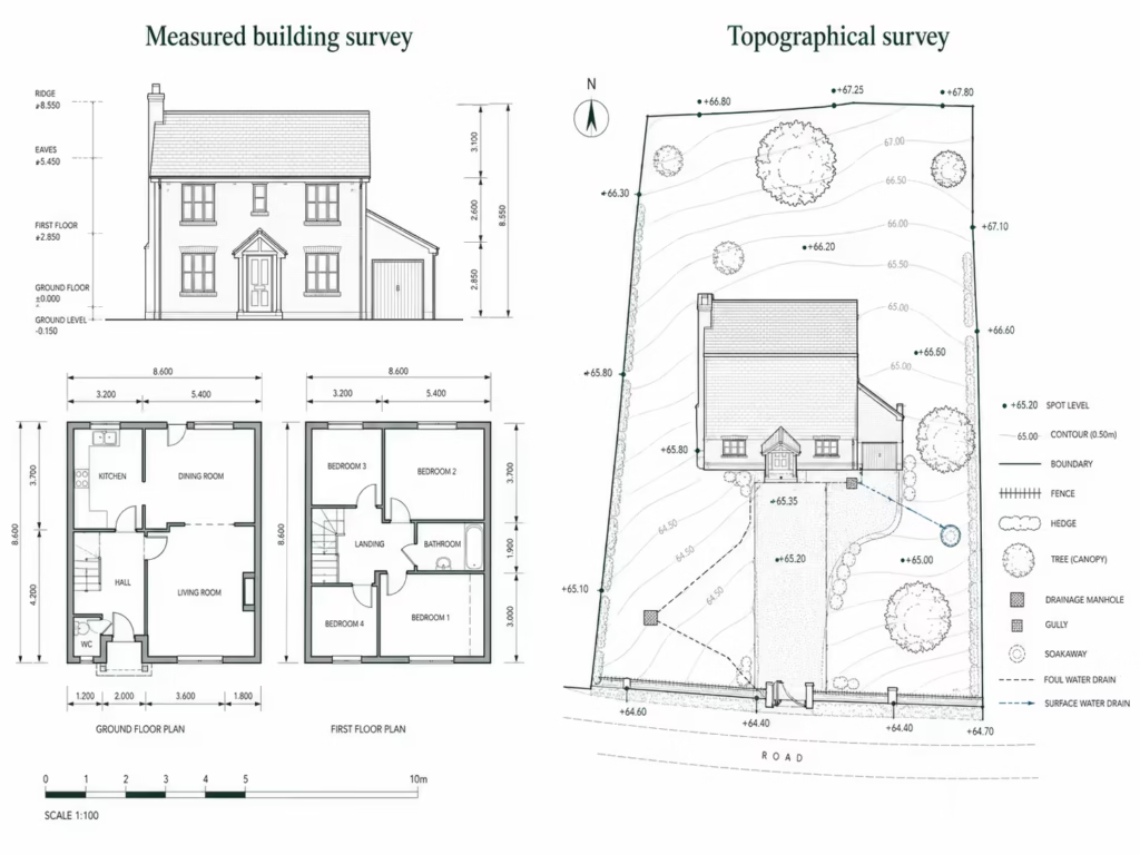
The main difference is what each survey records. A measured building survey concentrates on the existing building. A topographical survey concentrates on the surrounding land, levels and external site features.
| Comparison | Measured Building Survey | Topographical Survey |
|---|---|---|
| Primary focus | Existing building | Land, levels and external site context |
| Information recorded | Building layout, dimensions and relevant visible building features | Depending on scope: levels, contours, footprints, trees, drainage and visible site features |
| Common reason for commissioning | To provide existing-building information for design work | To provide external site and level information for design work |
| What it does not determine | Building condition, defects, valuation or structural adequacy | Legal ownership or legal boundary position |
Put simply: a measured building survey may be relevant where the required information is mainly about the building. A topographical survey may be relevant where it is mainly about the external site and its levels.
Which Survey Does Your Project Need?
The right survey depends on what part of the property the project team needs to understand. Confirm the required information before commissioning work, rather than choosing a survey only by name.
When Is a Measured Building Survey Relevant?
A measured building survey is relevant where design work requires reliable information about an existing building.
The design team may need the current layout, dimensions, elevations or sections before preparing drawings for proposed work. One project may only require existing floor plans, while another may also require elevations, sections, roof plans or site plans.
The key question is: which existing-building information does the project require?
When Is a Topographical Survey Relevant?
A topographical survey is relevant where design work requires information about the external land, site features or levels.
This can apply where the relationship between proposed work and the surrounding ground is important. For example, a project team may need to understand ground levels or relevant external features around the work area.
The exact information required varies. The agreed scope may include contours, ground levels, trees, drainage, building footprints or visible boundary features.
Not every extension or alteration needs a topographical survey. The requirement depends on the site and the information the project team needs.
When Might You Need Both Surveys?
A project may need both surveys where the design team requires accurate information about the existing building and the surrounding site.
For example, proposed work to an existing house may require building dimensions and elevations, as well as external levels and site information. In that situation, the surveys complement each other rather than duplicate the same work.
Can an Extension or Building Project Need Both Surveys?
Yes. An extension or building project can require both surveys where the design depends on the existing property and the land around it.
A measured building survey may provide the existing-building information needed for design work. A topographical survey may provide additional information about external levels and relevant site features.
The practical question is not which survey is “better.” It is:
What existing information does the project team need before design work begins?
If the project only requires accurate information about the existing building, a measured building survey may be sufficient. If it mainly requires information about the site and levels, a topographical survey may be more relevant. If both affect the design, both may be appropriate.
What Do These Surveys Not Tell You?
Neither survey answers every question about a property. A measured building survey is not a condition, defect, valuation or structural survey. A topographical survey does not establish legal ownership or determine a legal boundary.
A measured building survey should not be treated as an assessment of:
- Structural adequacy
- Building defects
- Property condition
- Property value
A topographical survey records external physical information within its agreed scope. Visible walls, fences, hedges or other boundary features may be shown, but their recorded position does not establish who owns the land or where a legal boundary lies.
Neither survey guarantees planning permission. They provide measured information that can support design work. Wider project requirements vary according to the proposal, site and information requested by the design team or relevant local planning authority.
How Do You Confirm the Right Survey Scope?
Start with the information the project team needs, rather than choosing a survey by name alone. Confirm whether the work requires existing-building dimensions, external site levels and features, or both.
Before commissioning work, clarify:
- Does the designer need accurate information about the existing building?
- Which existing drawing views are required?
- Are external ground levels relevant to the proposed work?
- Which site features need to be recorded?
- Is information needed about both the building and the surrounding land?
- Has the architect, designer or other project professional specified survey requirements?
This avoids assuming that every measured building survey or topographical survey includes the same information.
Plan Craft Daily provides measured site surveys, topographical surveys and agreed 2D drawing outputs.
Not sure what your project needs? Use the instant quote calculator to get an estimate for your property.
Get an Instant Quote