Residential Measured Survey & Existing Drawings in NW7, London

Location

NW7, North West London

Property

Residential

City

London

PROJECT BRIEF

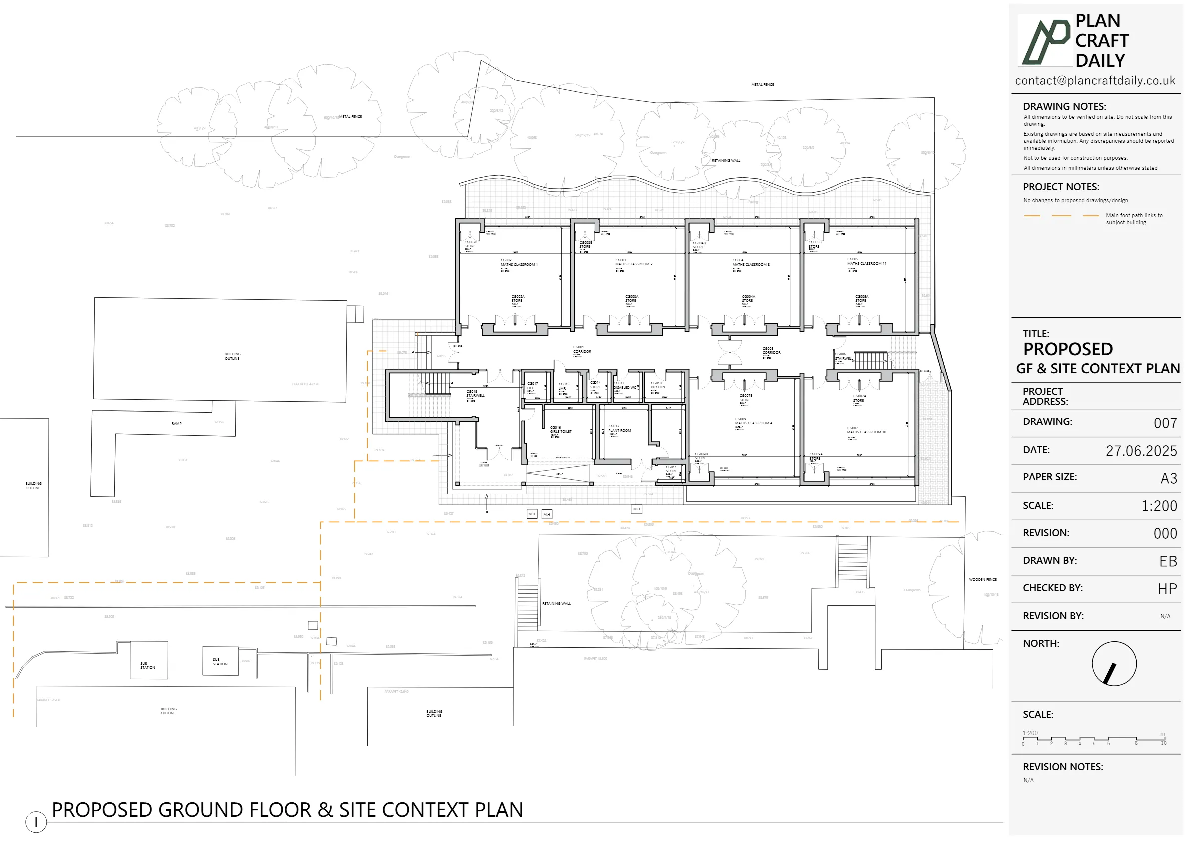
The client needed a DWG measured survey of a residential property in NW7, including the entire plot (front and rear gardens) with levels and external features, plus external elevations and drawing outputs suitable for onward design work. They also requested the front elevation outline of the two adjacent buildings to show the relationship in building heights.

The brief included optional internal information (plans and a section). The programme was time-sensitive, with the survey requested as soon as possible and a clear expectation for CAD turnaround after site work.

WORK COMPLETED

PlanCraftDaily scheduled site attendance and assigned surveyors for both the measured site survey and the topographical component, coordinating access and arrival windows with the client team.

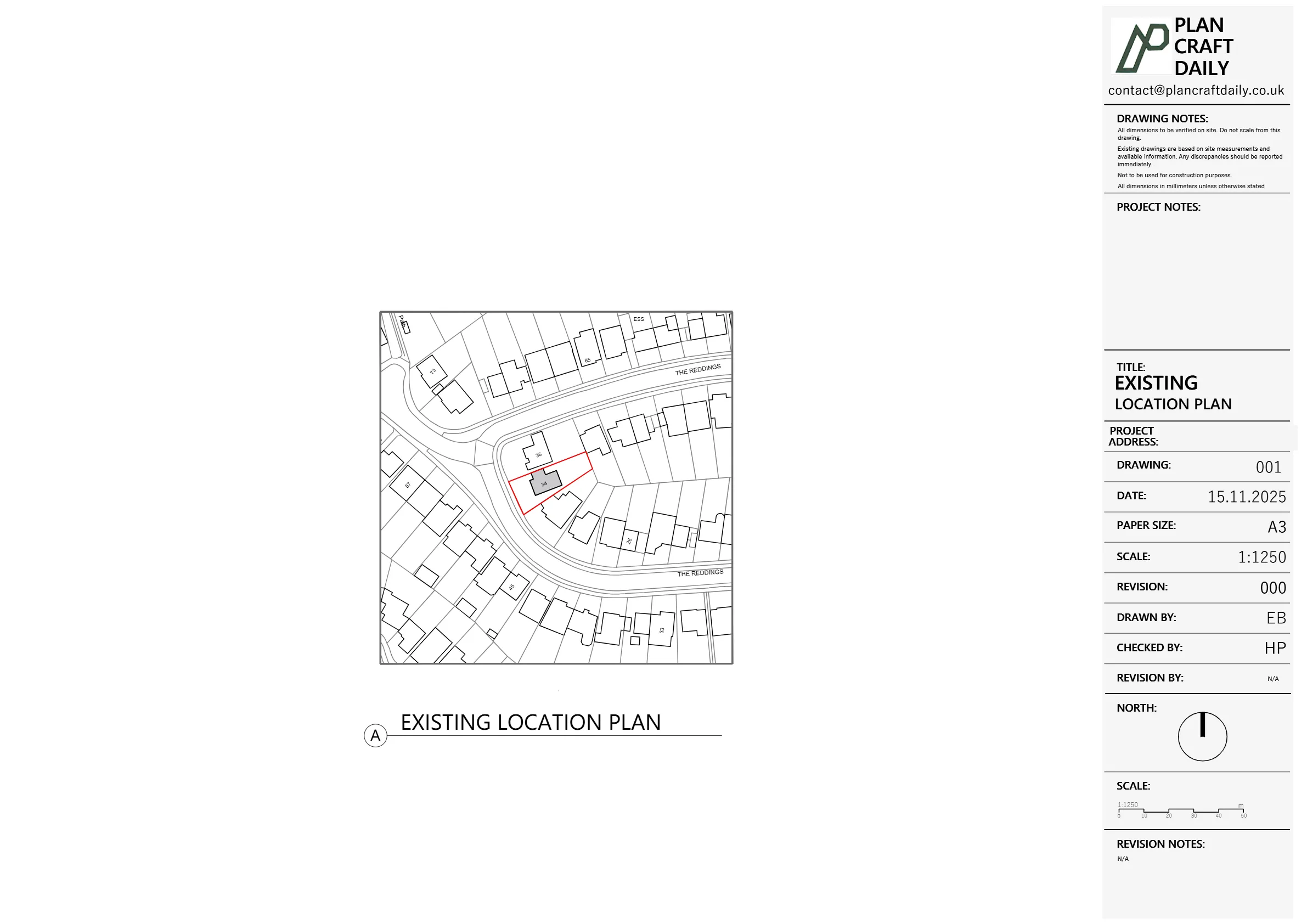
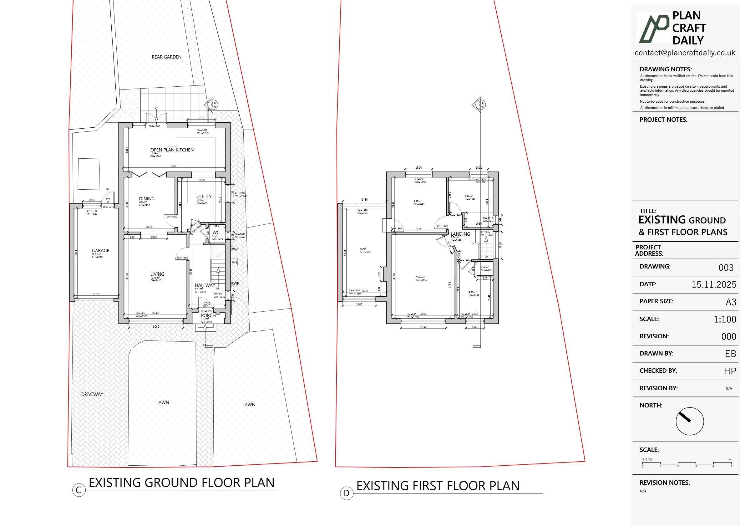
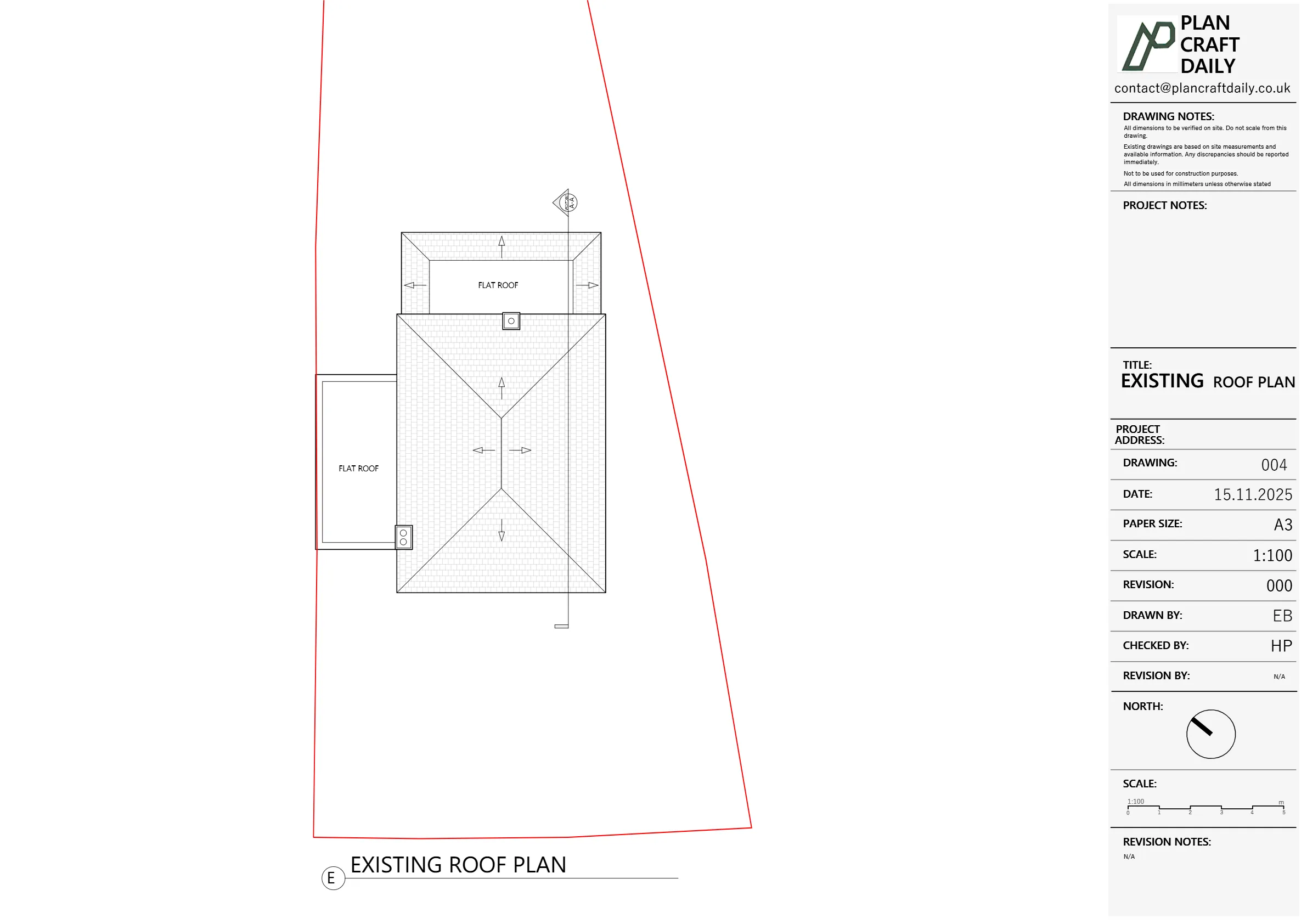
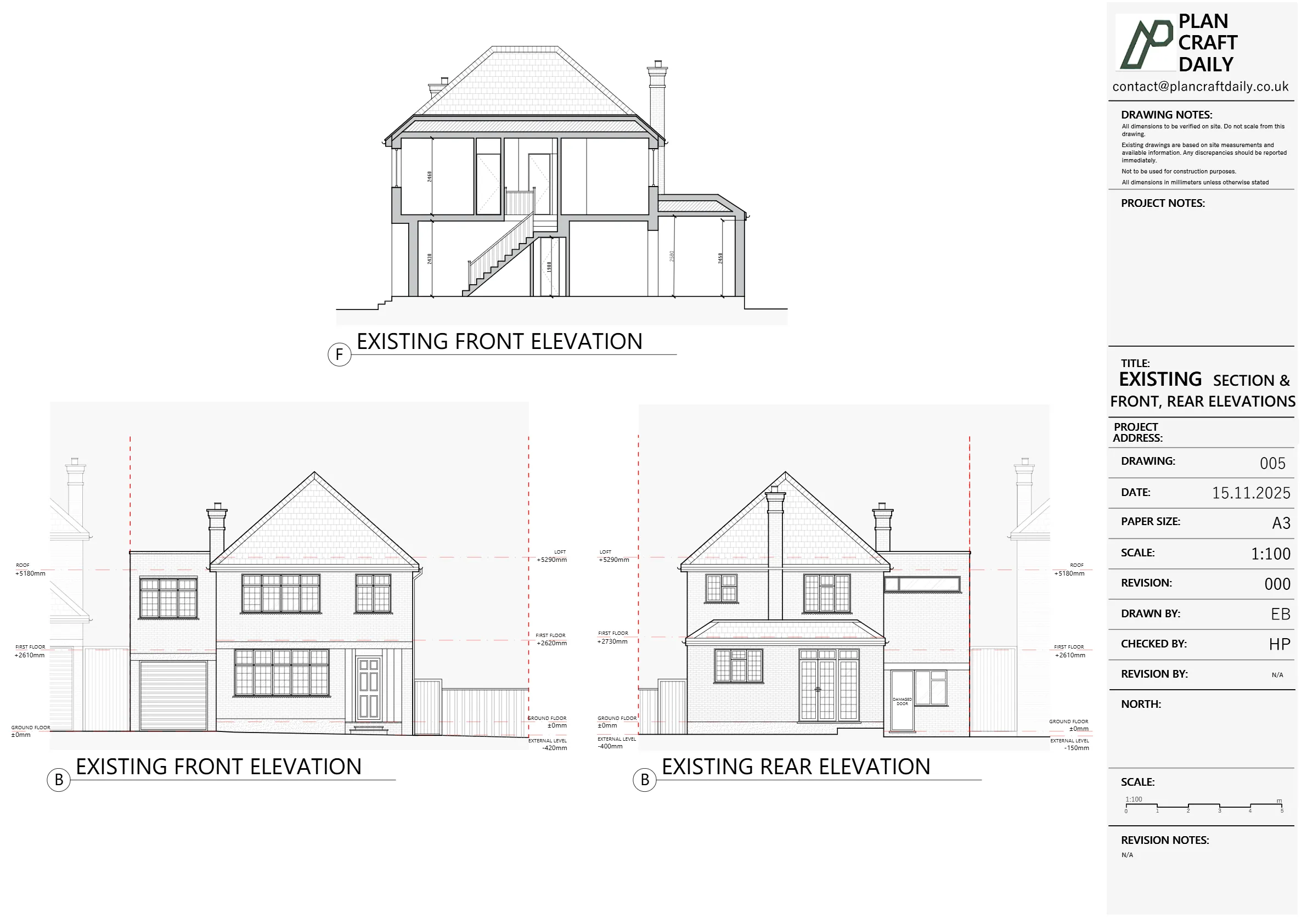
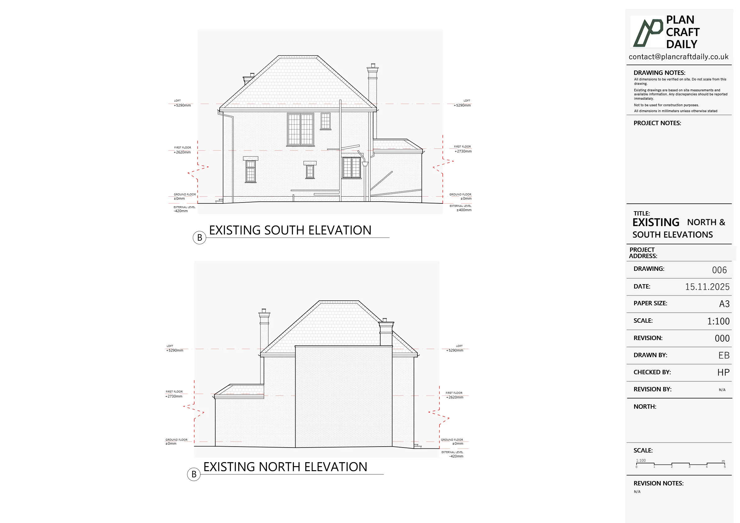
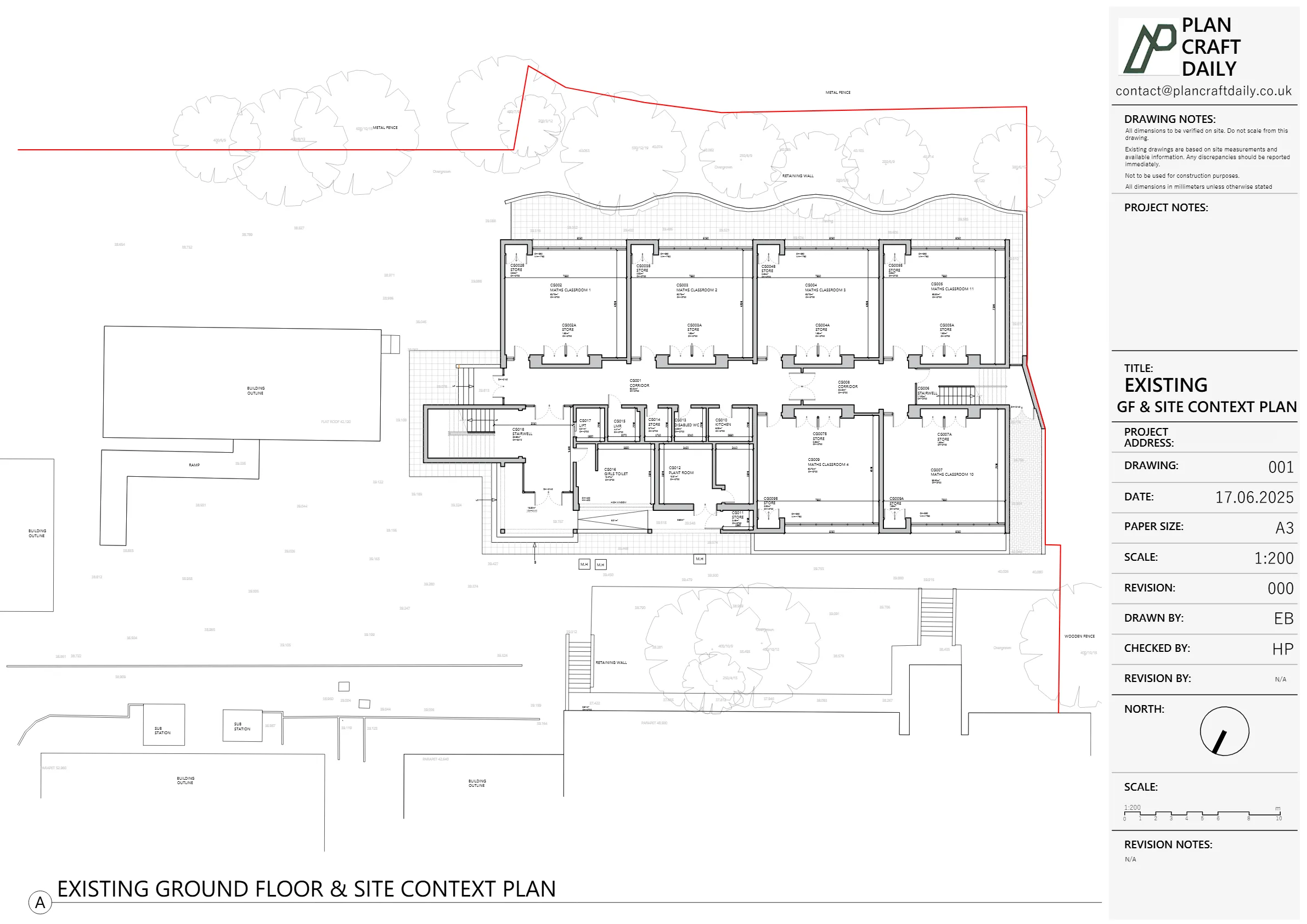
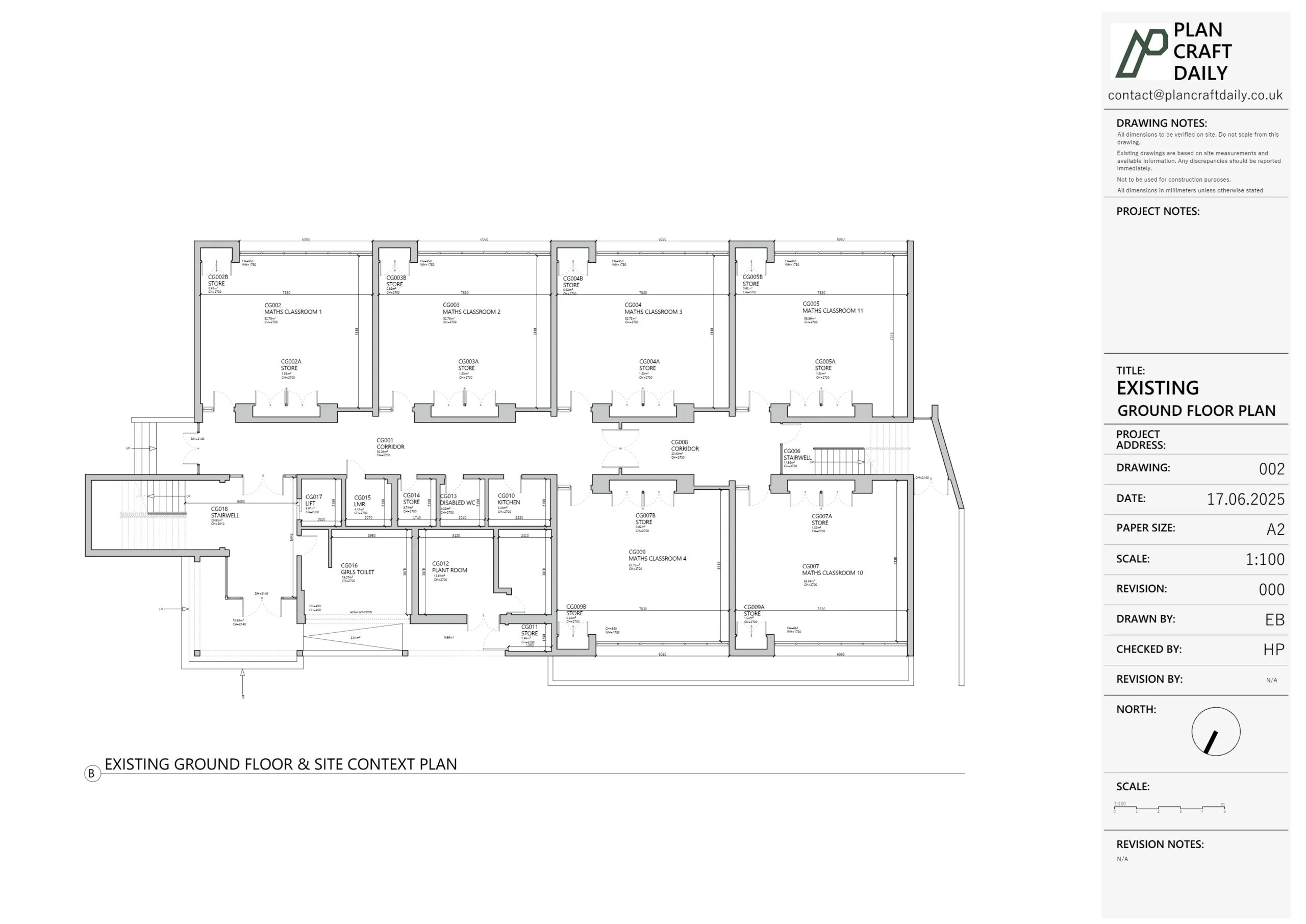
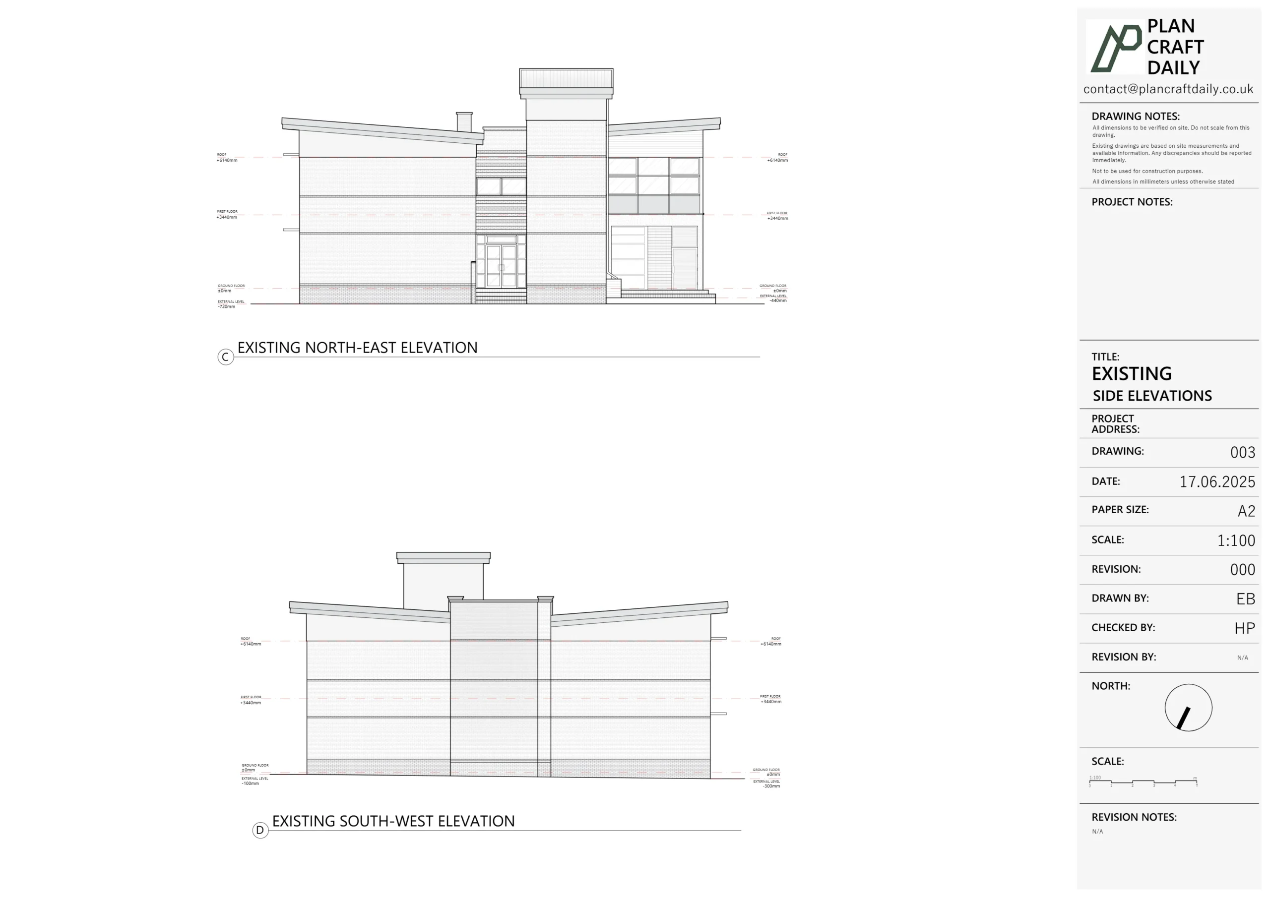
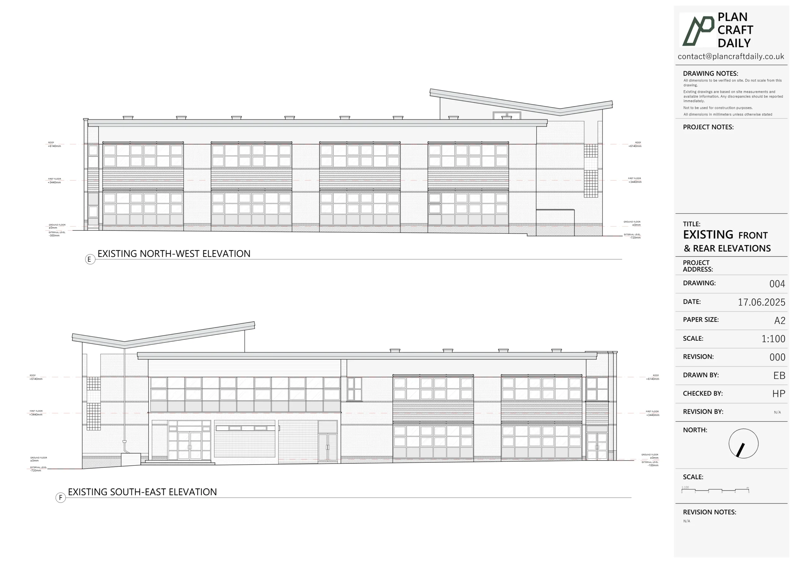
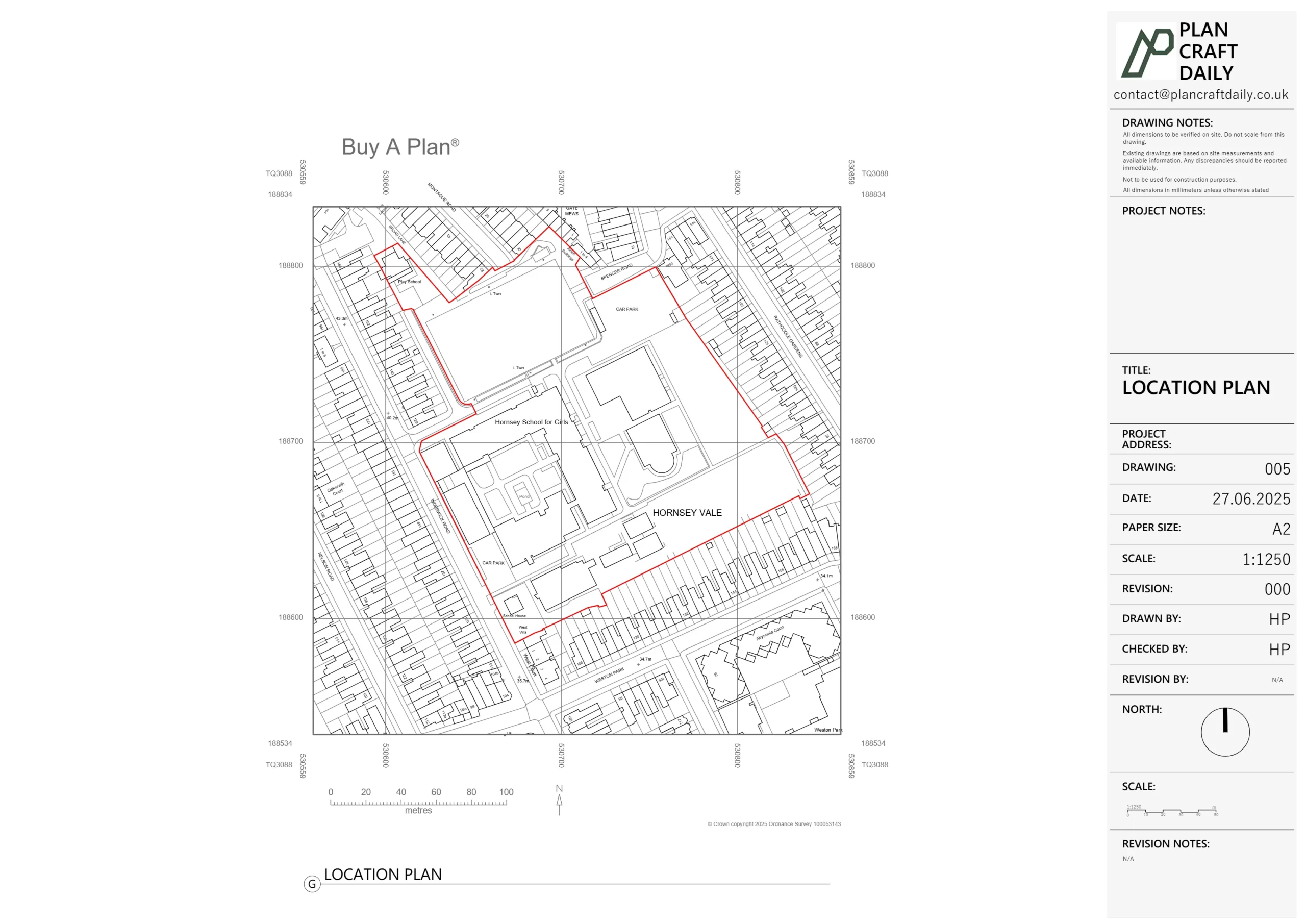
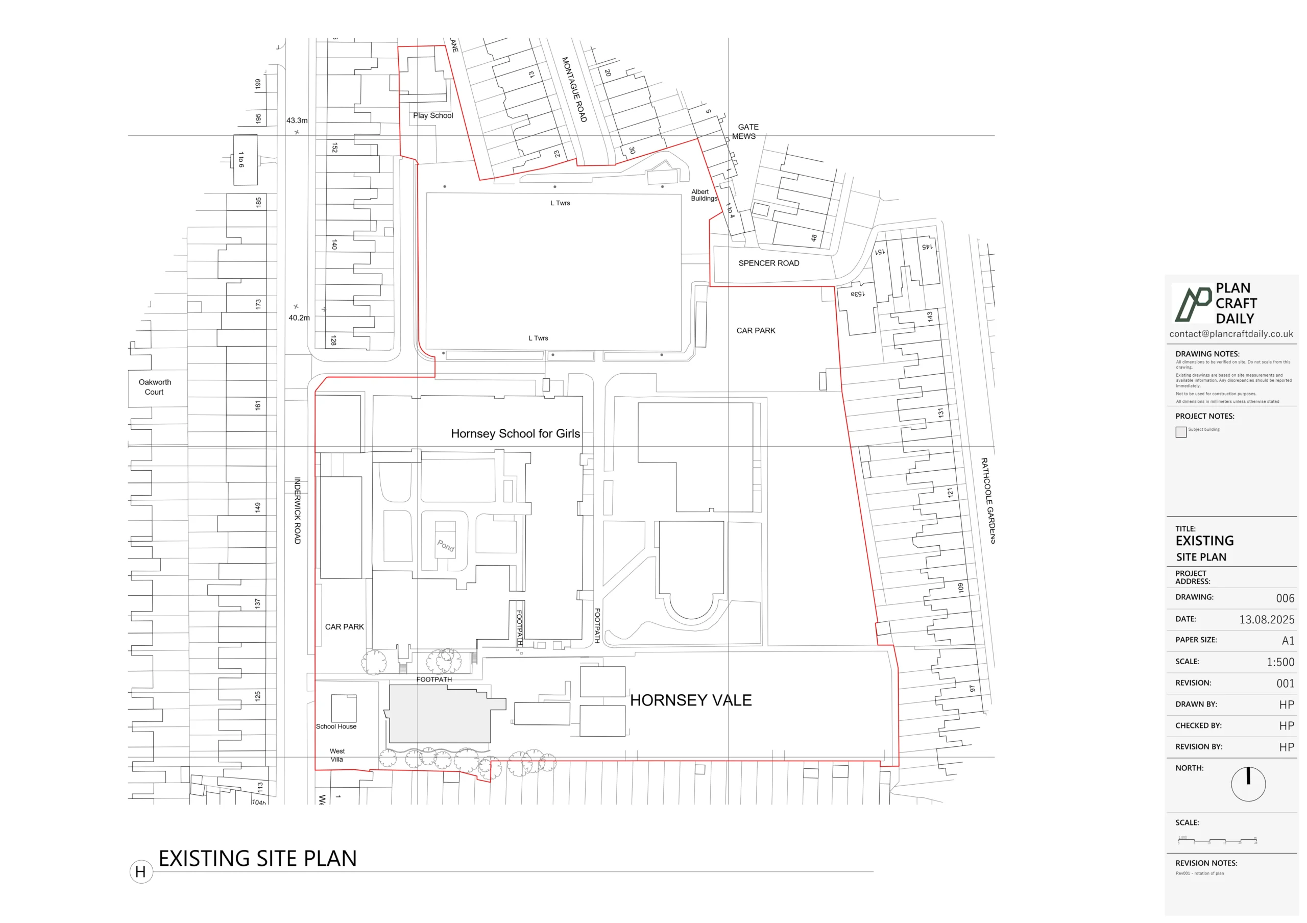
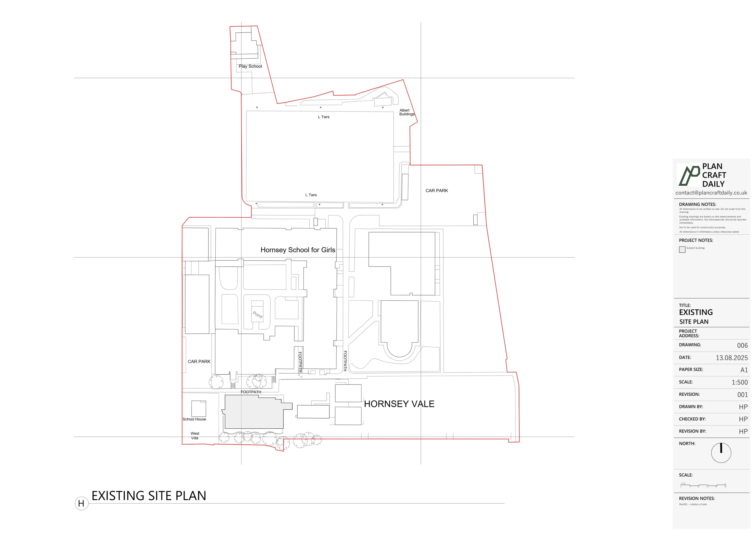
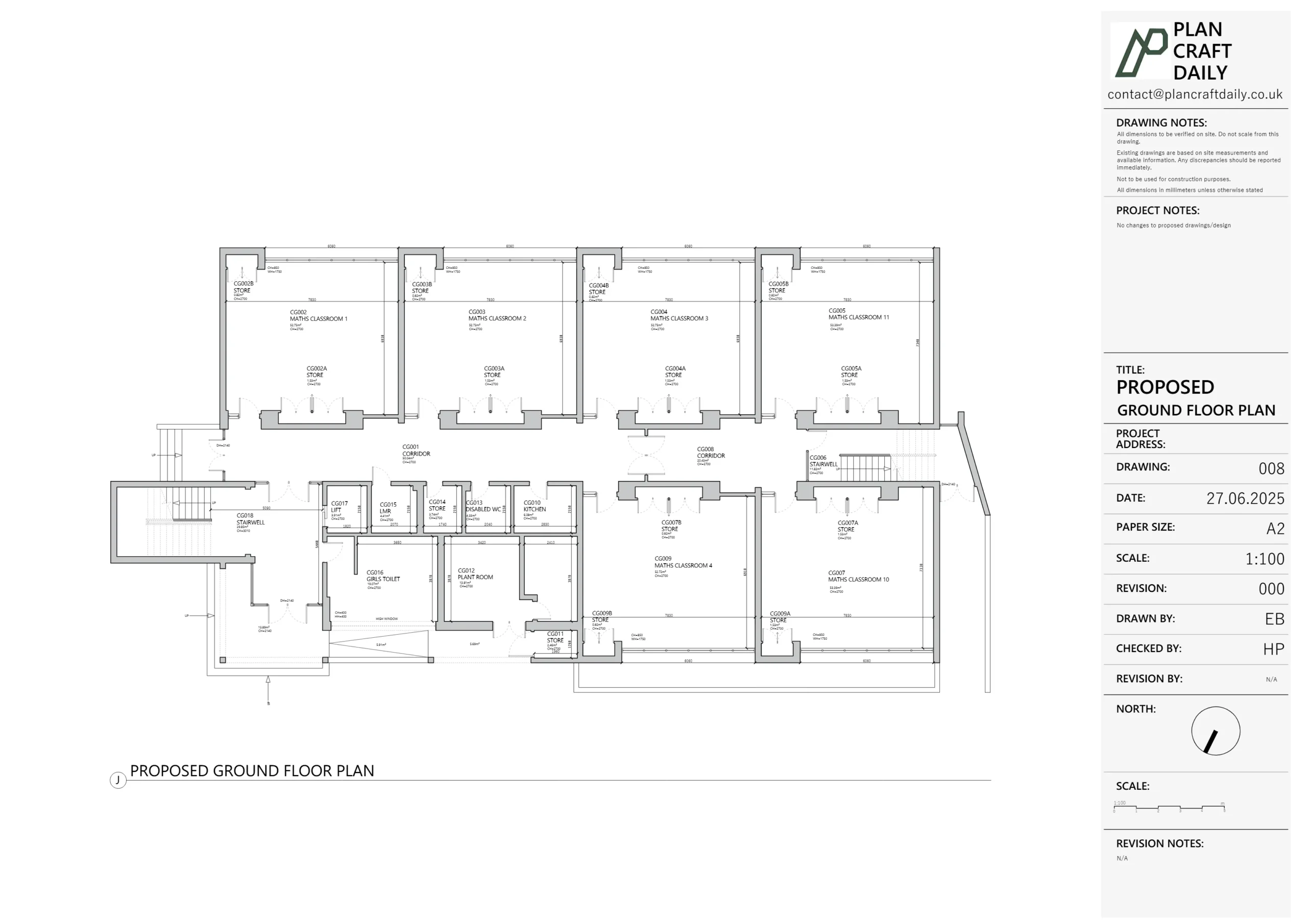
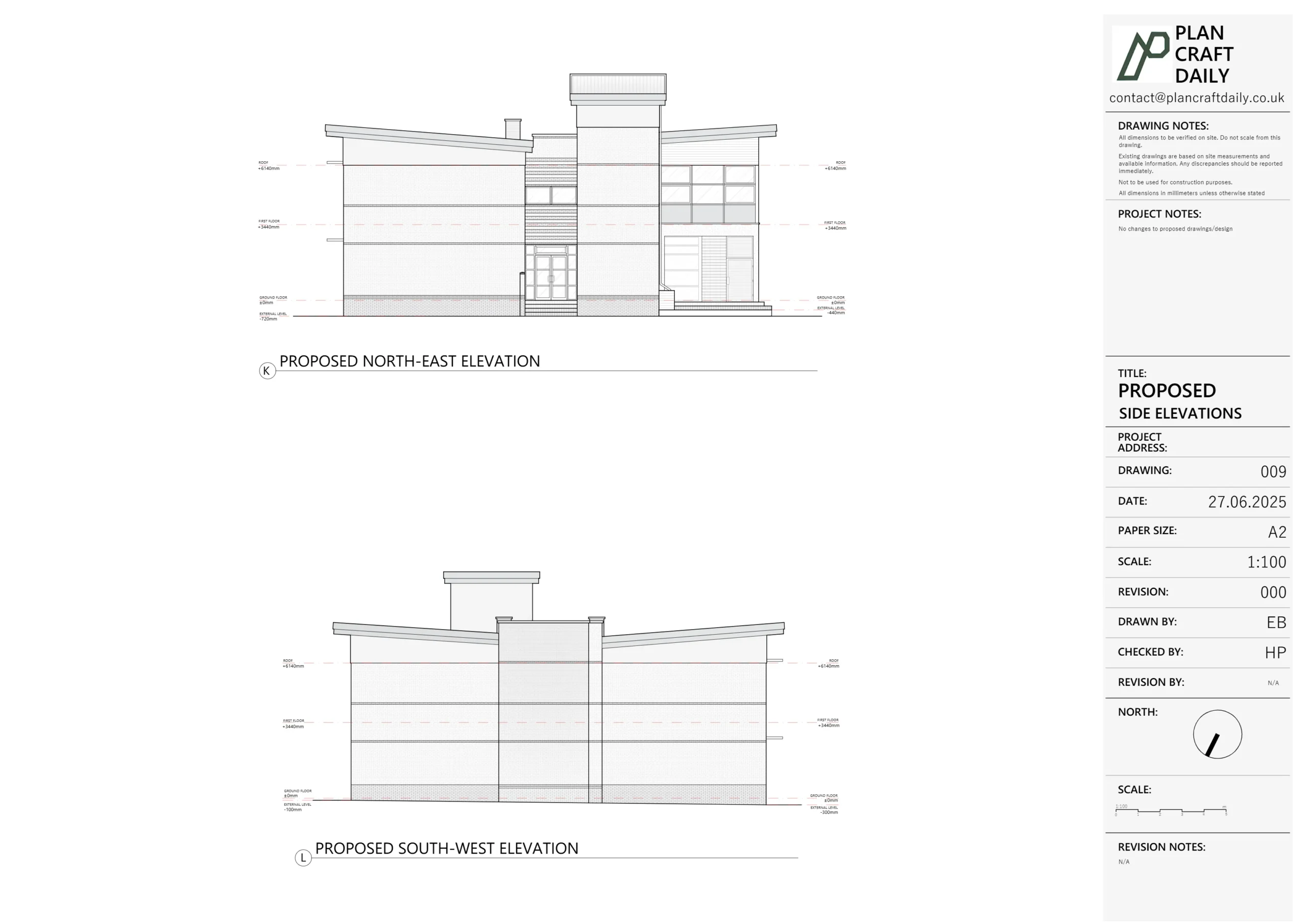
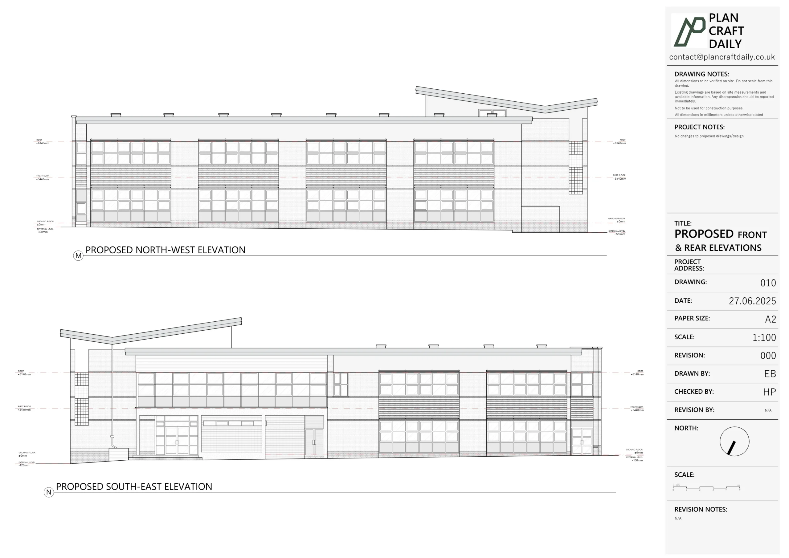
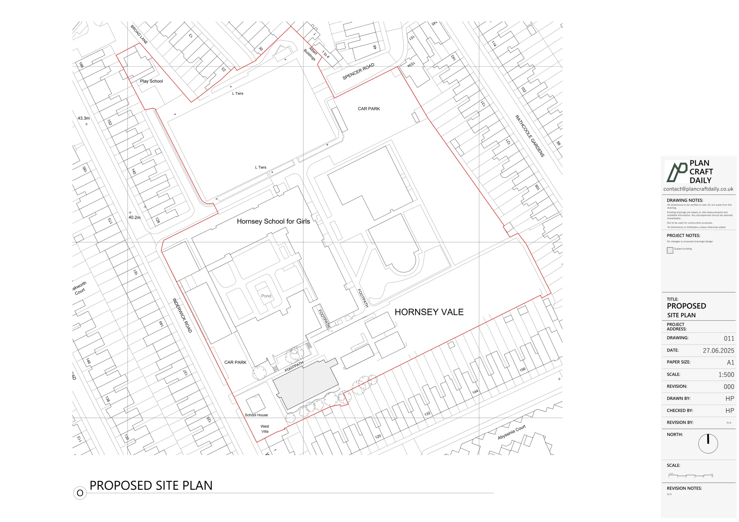
Following the site visit, we produced an “Existing” drawing package covering the requested building and site information. The set included two floor plans, a roof plan, four elevations, one section, and a site/location plan, compiled and issued as final drawings and related files.

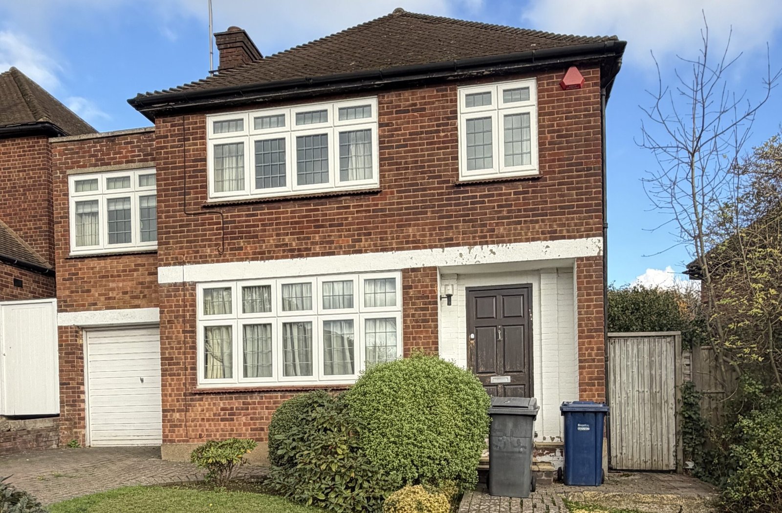
Full plot surveyed, including gardens, levels, and key external features

Complete existing drawing set issued for coordination and next-stage design

Neighbouring front elevation context captured to show height relationships

WHAT WE DELIVERED

Topographical survey of the full plot, including front and rear gardens, levels, and key external features

Existing floor plans (2 drawings)

Existing roof plan (1 drawing)

Existing elevations (4 drawings)

Existing section (1 drawing)

Site/Location plan (1 drawing)

Front elevation outline of adjacent buildings (context relationship)

OUTPUTS DELIVERED

DWG

PDF

PROJECT GALLERY

plancraftdaily-logo

Plan Craft Daily

Planning Ready 2D Drawings

Project Details

Property Type

Residential

Location

NW7, North West London

Area

London

Time Taken

11 days (survey to final drawings issue)

Completed

November 2025

OUTCOME

The client received a complete existing-condition baseline for the property and plot, including external context information and a full drawing set to support the next stages of design and coordination. Final drawings were issued as a consolidated package in DWG/PDF formats, aligned to the requirements set out at the start of the project.


STEPS

01.

Brief & scope confirmation

We confirmed the required survey scope and drawing outputs: full plot coverage with levels and external features, external elevations, and adjacent-building context to show height relationships. We also clarified the drawing list for the “Existing” package, including floor plans, roof plan, elevations, section, and site/location plan.

02.

Scheduling & access coordination

Site attendance was provisionally booked for Saturday 8th November, with arrival windows coordinated for both site survey and topographical survey activities. Contact details and access arrangements were aligned with the client team to support efficient on-site progress.

03.

Measured building + topographical survey on site

Surveyors captured measured internal and external building information alongside plot details, levels, and notable external features. Additional context was recorded to produce the required front elevation outlines of adjacent properties, ensuring height relationships could be represented accurately in the final drawing set.

04.

CAD drafting of existing drawings

Using the survey data, we drafted the complete existing drawing package: two floor plans, one roof plan, four elevations, one section, and a site/location plan. Outputs were prepared for practical use in design coordination and onward project stages.

Survey and drawing support

Planning a similar project?

Send the property address, any existing information and the drawings required. Plan Craft Daily can confirm whether a site survey is needed and provide a quotation.